


How to get from Stantsiya Lychakov (Lviv) to Burshtyn (Ivano-Frankivsk)
Calculate route from Stantsiya Lychakov (Lviv, Ukraine) to Burshtyn (Ivano-Frankivsk, Ukraine).
The flight distance (as the crow flies) between Stantsiya Lychakov and Burshtyn is 75.6 km.
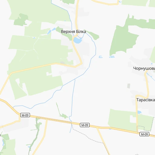
Roadmap (route) to go from Stantsiya Lychakov to Burshtyn detailed above, you can also see the course layout on the map.
While doing trip Stantsiya Lychakov - Burshtyn by car, the calculated route ends at a distance , or more straight.
Distance and duration of the route between Stantsiya Lychakov and Burshtyn
Calculation of distance and route from Burshtyn to Stantsiya Lychakov :
75.688.1 km2h35mn
Continue 0h0mn 65 mTurn right onto Пасічна вулиця 0h4mn 3.3 kmTurn left onto вулиця Пирогівка 0h0mn 222 mKeep right onto Пасічна вулиця 0h1mn 882 mTurn sharp left onto Зелена вулиця 0h5mn 5.1 kmAt roundabout, take exit 1 onto Н-09 1h57mn 58.3 kmTurn right onto вулиця Теліщука 0h0mn 12 mTurn left 0h1mn 498 mKeep left 0h1mn 709 mKeep left 0h0mn 120 mKeep right 0h2mn 842 mTurn right onto вулиця Степана Бандери 0h1mn 1.1 kmContinue onto вулиця Михайла Грушевського 0h1mn 991 mTurn right onto вулиця Сергія Городецького 0h19mn 15.4 kmTurn right onto вулиця Петра Сагайдачного 0h0mn 120 mTurn left onto вулиця Симона Петлюри 0h0mn 223 mTurn right 0h0mn 250 mTurn sharp right onto вулиця Ольги Басараб 0h1mn 71 mTurn right onto вулиця Ольги Басараб 0h0mn 3 mArrive at destination 0h0mn 0 m
Travel from Stantsiya Lychakov (Ivano-Frankivsk) to a selection of major cities.
Distances from Stantsiya Lychakov to biggest cities in Lviv
Other major cities in country :
- Zhytomyr [27], 282,192 inhabitants. 333 km
- Horlivka [05], 278,550 inhabitants. 1,032 km
- Rivne [19], 255,106 inhabitants. 177 km
- Kropyvnytskyi [10], 249,454 inhabitants. 614 km
- Kamianske [04], 248,575 inhabitants. 780 km
- Chernivtsi [03], 236,250 inhabitants. 219 km
- Ternopil [22], 235,676 inhabitants. 114 km
- Kremenchuk [18], 227,494 inhabitants. 682 km
- Lutsk [24], 213,661 inhabitants. 137 km
- Ivano-Frankivsk [06], 204,200 inhabitants. 112 km
- Bila Tserkva [13], 199,163 inhabitants. 434 km
- Kramators'k [05], 173,700 inhabitants. 986 km
- Melitopol [26], 158,000 inhabitants. 898 km
- Kerch [11], 148,932 inhabitants. 1,055 km
- Nikopol [04], 130,500 inhabitants. 799 km
- Syevyerodonets'k [14], 130,000 inhabitants. 1,048 km
- Sloviansk [05], 124,800 inhabitants. 987 km
- Berdyansk [26], 118,284 inhabitants. 1,001 km
- Uzhgorod [25], 117,878 inhabitants. 187 km
- Alchevs'k [14], 116,000 inhabitants. 1,083 km
Route from Burshtyn to major cities (Ukraine).
- Distance Burshtyn Kyiv443 km
- Distance Burshtyn Kharkiv841 km
- Distance Burshtyn Dnipro767 km
- Distance Burshtyn Donetsk978 km
- Distance Burshtyn Odessa551 km
- Distance Burshtyn Zaporizhia794 km
- Distance Burshtyn Lviv78 km
- Distance Burshtyn Kryvyi Rih661 km
- Distance Burshtyn Mykolayiv604 km
- Distance Burshtyn Mariupol987 km
- Distance Burshtyn Luhansk1,076 km
- Distance Burshtyn Sevastopol852 km
- Distance Burshtyn Khmelnytskyi173 km
- Distance Burshtyn Makiyivka986 km
- Distance Burshtyn Vinnytsia280 km
- Distance Burshtyn Simferopol862 km
- Distance Burshtyn Kherson662 km
- Distance Burshtyn Poltava718 km
- Distance Burshtyn Chernihiv534 km
- Distance Burshtyn Cherkasy539 km
Nearest cities to Stantsiya Lychakov :
- Lviv, 717,803 inhabitants. 3 km
- Khmelnytskyi, 398,346 inhabitants. 216 km
- Rivne, 255,106 inhabitants. 177 km
- Chernivtsi, 236,250 inhabitants. 219 km
- Ternopil, 235,676 inhabitants. 114 km
- Lutsk, 213,661 inhabitants. 137 km
- Ivano-Frankivsk, 204,200 inhabitants. 112 km
- Uzhgorod, 117,878 inhabitants. 187 km
- Kamianets-Podilskyi, 100,000 inhabitants. 223 km
- Chervonohrad, 83,000 inhabitants. 63 km
- Mukacheve, 81,633 inhabitants. 184 km
- Drohobych, 79,406 inhabitants. 67 km
- Kalush, 67,698 inhabitants. 94 km
- Kovel, 66,400 inhabitants. 160 km
- Kolomyia, 61,781 inhabitants. 161 km
- Stryi, 61,404 inhabitants. 65 km
- Novovolyns'k, 57,800 inhabitants. 100 km
- Shepetivka, 46,419 inhabitants. 218 km
- Varash, 42,000 inhabitants. 211 km
- Volodymyr-Volynskyi, 38,256 inhabitants. 115 km
- Dubno, 37,690 inhabitants. 136 km
- Boryslav, 36,704 inhabitants. 76 km
- Sambir, 35,197 inhabitants. 72 km
- Slavuta, 33,080 inhabitants. 207 km
- Netishyn, 33,063 inhabitants. 192 km
- Kostopil', 30,500 inhabitants. 205 km
- Chortkiv, 28,855 inhabitants. 155 km
- Novoyavorivs'k, 28,807 inhabitants. 37 km
- Khust, 27,999 inhabitants. 192 km
- Vynohradiv, 27,600 inhabitants. 203 km
- Sarny, 27,097 inhabitants. 245 km
- Truskavets', 26,600 inhabitants. 74 km
- Berehove, 25,741 inhabitants. 209 km
- Zdolbuniv, 23,697 inhabitants. 173 km
- Brody, 23,239 inhabitants. 83 km
- Zolochiv, 22,608 inhabitants. 60 km
- Sokal', 21,451 inhabitants. 73 km
- Kremenets, 21,000 inhabitants. 122 km
- Dolyna, 20,696 inhabitants. 96 km
- Nadvirna, 20,154 inhabitants. 138 km
- Stebnyk, 20,087 inhabitants. 70 km
- Krasyliv, 19,815 inhabitants. 210 km
- Izyaslav, 17,758 inhabitants. 200 km
- Horodok, 17,086 inhabitants. 197 km
- Berezhani, 16,962 inhabitants. 76 km
- Kivertsi, 16,509 inhabitants. 149 km
- Svalyava, 16,507 inhabitants. 163 km
- Horodok, 15,993 inhabitants. 31 km
- Dunaivtsi, 15,836 inhabitants. 228 km
- Burshtyn, 14,729 inhabitants. 76 km
Location Stantsiya Lychakov (Lviv) :
| Country flag |  |
| Location | Stantsiya Lychakov |
| State | Lviv |
| County | |
| Country | Ukraine |
| Country code / ISO 2 | UA |
| Latitude | 49.8333300 |
| Longitude | 24.0666700 |
| Altitude | 0 meters |
| Time zone | Europe/Uzhgorod |
Location Burshtyn (Ivano-Frankivsk) :
| Country flag | |
| Location | Burshtyn |
| State | Ivano-Frankivsk |
| County | |
| Country | Ukraine |
| Country code / ISO 2 | UA |
| Latitude | 49.2586700 |
| Longitude | 24.6277700 |
| Altitude | 0 meters |
| Time zone | Europe/Kiev |