


How to get from South Elmsall Railway Station (England) to Portsmouth (England)
Calculate route from South Elmsall Railway Station (England, United Kingdom) to Portsmouth (England, United Kingdom).
The flight distance (as the crow flies) between South Elmsall Railway Station and Portsmouth is 311.0 km.
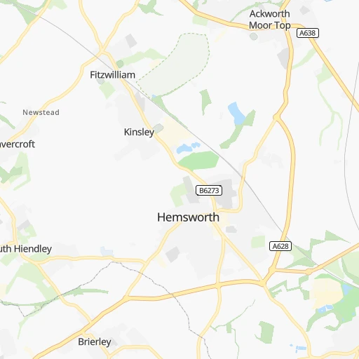
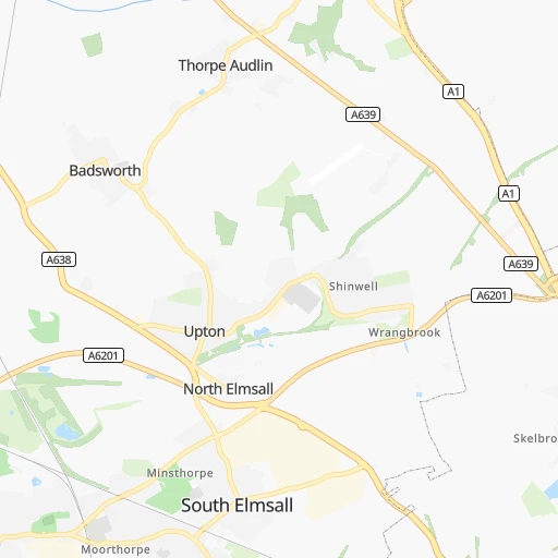
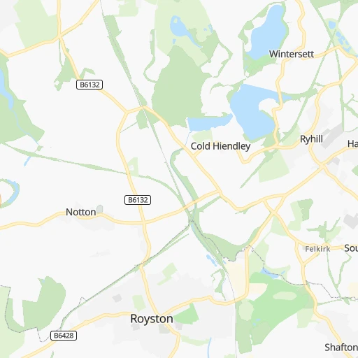
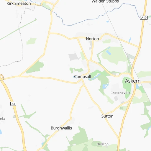
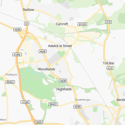
Roadmap (route) to go from South Elmsall Railway Station to Portsmouth detailed above, you can also see the course layout on the map.
While doing trip South Elmsall Railway Station - Portsmouth by car, the calculated route ends at a distance , or more straight.
Distance and duration of the route between South Elmsall Railway Station and Portsmouth
Calculation of distance and route from Portsmouth to South Elmsall Railway Station :
311.0366.8 km4h54mn
Continue 0h0mn 208 mTurn slight right onto Kenyon Street 0h0mn 67 mTurn right onto Doncaster Road 0h0mn 91 mTurn right onto High Street 0h1mn 612 mContinue onto Field Lane 0h2mn 1.4 kmAt roundabout, take exit 3 onto Doncaster Road 0h3mn 4.6 kmAt roundabout, take exit 1 onto Redhouse Interchange 0h0mn 74 mKeep left onto A638 and drive toward The SOUTH, Newark 0h0mn 86 mContinue onto A638 0h7mn 12.4 kmKeep left and take M18 toward Sheffield(M1), Scunthorpe(M180) 0h0mn 499 mAt roundabout, take exit 3 onto Wadworth Interchange 1h21mn 138.5 kmKeep left and take M1 toward Daventry, Rail Freight Terminal 0h0mn 501 mAt roundabout, take exit 3 onto Crick Road 0h0mn 668 mAt roundabout, take exit 1 onto Crick Road 0h0mn 391 mAt roundabout, take exit 2 onto Crick Road 0h0mn 329 mAt roundabout, take exit 1 onto Watling Street 0h2mn 2.1 kmAt roundabout, take exit 2 onto Watling Street 0h9mn 13.0 kmAt roundabout, take exit 2 onto Watling Street 0h9mn 12.5 kmAt roundabout, take exit 3 onto Towcester Roundabout 0h1mn 1.4 kmAt roundabout, take exit 2 onto Abthorpe Roundabout 0h9mn 14.8 kmAt roundabout, take exit 1 onto Brackley Bypass 0h1mn 1.7 kmAt roundabout, take exit 2 onto A43 0h1mn 1.3 kmAt roundabout, take exit 1 onto A43 0h1mn 1.1 kmAt roundabout, take exit 2 onto A43 0h1mn 1.8 kmAt roundabout, take exit 2 onto Barleymow Roundabout 0h3mn 5.2 kmAt roundabout, take exit 2 onto Baynard's Green Roundabout 0h1mn 1.1 kmKeep right and take M40 toward Bicester Central, Oxford, High Wycombe, London, M4 0h5mn 8.5 kmKeep left onto M40 and take A41, A34 toward Bicester Central, Bicester Village, Park And Ride, Oxford, Aylesbury, Newbury 0h0mn 480 mAt roundabout, take exit 3 onto Wendlebury Interchange 1h33mn 55.6 kmKeep right onto Newbury Bypass 0h27mn 45.1 kmAt roundabout, take exit 2 onto Spitfire Link 0h1mn 1.6 kmAt roundabout, take exit 2 onto Spitfire Roundabout 0h1mn 1.0 kmAt roundabout, take exit 1 onto A31 0h0mn 265 mTurn left onto Morestead Road 0h3mn 3.9 kmTurn right onto Jackmans Hill 0h1mn 1.9 kmTurn left onto Longwood Road 0h0mn 214 mTurn right onto Baybridge Lane 0h1mn 1.1 kmKeep right onto Baybridge Lane 0h1mn 1.8 kmTurn slight right onto Blackdown Lane 0h1mn 1.0 kmTurn left onto Shoe Lane 0h0mn 312 mTurn left onto Church Street 0h0mn 56 mTurn right onto Stakes Lane 0h0mn 85 mTurn left onto Peak Lane 0h1mn 1.5 kmTurn slight right onto Ashton Lane 0h0mn 159 mKeep left onto Ashton Lane 0h0mn 561 mTurn right onto Beeches Hill 0h1mn 1.1 kmTurn right onto Lower Lane 0h0mn 51 mTurn left onto Free Street 0h1mn 542 mTurn right onto Bank Street 0h0mn 26 mTurn left onto Shore Lane 0h1mn 397 mTurn left onto Coppice Hill 0h7mn 6.8 kmAt roundabout, take exit 3 onto Hoad's Hill 0h2mn 2.0 kmAt roundabout, take exit 2 onto Wickham Road 0h1mn 1.1 kmKeep left onto M27 0h4mn 7.3 kmKeep left and take M275 toward Portsmouth (West) 0h3mn 4.6 kmAt roundabout, take exit 2 onto Commercial Road 0h0mn 289 mAt roundabout, take exit 2 onto Marketway 0h0mn 286 mAt roundabout, take exit 2 onto Marketway 0h0mn 286 mTurn left onto Unicorn Road 0h1mn 363 mArrive at destination 0h0mn 0 m
Travel from South Elmsall Railway Station (England) to a selection of major cities.
Distances from South Elmsall Railway Station to biggest cities in England
- Plymouth,260,203 inhabitants.409 km
- Luton,258,018 inhabitants.200 km
- Wolverhampton,252,791 inhabitants.126 km
- City of Westminster,247,614 inhabitants.246 km
- Southampton,246,201 inhabitants.300 km
- Blackpool,239,409 inhabitants.119 km
- Milton Keynes,229,941 inhabitants.177 km
- Bexley,228,000 inhabitants.259 km
- Northampton,215,963 inhabitants.152 km
- Archway,215,667 inhabitants.239 km
- Norwich,213,166 inhabitants.203 km
- Dudley,199,059 inhabitants.133 km
- Portsmouth,194,150 inhabitants.312 km
- Newcastle upon Tyne,192,382 inhabitants.155 km
- Sutton,187,600 inhabitants.260 km
- Swindon,185,609 inhabitants.229 km
- Crawley,180,508 inhabitants.286 km
- Ipswich,178,835 inhabitants.237 km
- Wigan,175,405 inhabitants.90 km
- Croydon,173,314 inhabitants.259 km
Other major cities in country :
- Bridgend [WLS], 58,380 inhabitants. 280 km
- Castlereagh [NIR], 56,679 inhabitants. 319 km
- Livingston [SCT], 56,570 inhabitants. 294 km
- Barry [WLS], 54,673 inhabitants. 279 km
- Hamilton [SCT], 53,200 inhabitants. 299 km
- Cumbernauld [SCT], 51,610 inhabitants. 314 km
- Dunfermline [SCT], 50,380 inhabitants. 309 km
Route from Portsmouth to major cities (United Kingdom).
- Distance Portsmouth Glasgow602 km
- Distance Portsmouth Edinburgh590 km
- Distance Portsmouth Cardiff164 km
- Distance Portsmouth Newport159 km
- Distance Portsmouth Swansea219 km
- Distance Portsmouth Belfast534 km
- Distance Portsmouth Aberdeen709 km
- Distance Portsmouth Dundee643 km
- Distance Portsmouth Londonderry County Borough626 km
- Distance Portsmouth Derry626 km
- Distance Portsmouth Lisburn532 km
- Distance Portsmouth Paisley603 km
- Distance Portsmouth East Kilbride589 km
- Distance Portsmouth Wrexham282 km
- Distance Portsmouth Newtownabbey538 km
- Distance Portsmouth Buckley297 km
- Distance Portsmouth Tonypandy189 km
- Distance Portsmouth Bangor528 km
- Distance Portsmouth Rhondda190 km
- Distance Portsmouth Craigavon541 km
Nearest cities to South Elmsall Railway Station :
- London, 7,556,900 inhabitants. 245 km
- Birmingham, 984,333 inhabitants. 131 km
- Liverpool, 864,122 inhabitants. 114 km
- Nottingham, 729,977 inhabitants. 72 km
- Sheffield, 685,368 inhabitants. 26 km
- Bristol, 617,280 inhabitants. 254 km
- Glasgow, 591,620 inhabitants. 317 km
- Leicester, 508,916 inhabitants. 107 km
- Edinburgh, 464,990 inhabitants. 290 km
- Leeds, 455,123 inhabitants. 28 km
- Cardiff, 447,287 inhabitants. 268 km
- Manchester, 395,515 inhabitants. 64 km
- Stoke-on-Trent, 372,775 inhabitants. 89 km
- Coventry, 359,262 inhabitants. 133 km
- Sunderland, 335,415 inhabitants. 146 km
- Birkenhead, 325,264 inhabitants. 117 km
- Islington, 319,143 inhabitants. 243 km
- Reading, 318,014 inhabitants. 239 km
- Kingston upon Hull, 314,018 inhabitants. 65 km
- Preston, 313,332 inhabitants. 95 km
- Newport, 306,844 inhabitants. 252 km
- Swansea, 300,352 inhabitants. 284 km
- Bradford, 299,310 inhabitants. 38 km
- Southend-on-Sea, 295,310 inhabitants. 266 km
- Derby, 270,468 inhabitants. 76 km
- Luton, 258,018 inhabitants. 200 km
- Wolverhampton, 252,791 inhabitants. 126 km
- City of Westminster, 247,614 inhabitants. 246 km
- Southampton, 246,201 inhabitants. 300 km
- Blackpool, 239,409 inhabitants. 119 km
- Milton Keynes, 229,941 inhabitants. 177 km
- Bexley, 228,000 inhabitants. 259 km
- Northampton, 215,963 inhabitants. 152 km
- Archway, 215,667 inhabitants. 239 km
- Norwich, 213,166 inhabitants. 203 km
- Dudley, 199,059 inhabitants. 133 km
- Portsmouth, 194,150 inhabitants. 312 km
- Newcastle upon Tyne, 192,382 inhabitants. 155 km
- Sutton, 187,600 inhabitants. 260 km
- Swindon, 185,609 inhabitants. 229 km
- Crawley, 180,508 inhabitants. 286 km
- Ipswich, 178,835 inhabitants. 237 km
- Wigan, 175,405 inhabitants. 90 km
- Croydon, 173,314 inhabitants. 259 km
- Walsall, 172,141 inhabitants. 122 km
- Mansfield, 171,958 inhabitants. 52 km
- Oxford, 171,380 inhabitants. 205 km
- Warrington, 165,456 inhabitants. 89 km
- Slough, 163,777 inhabitants. 237 km
- Bournemouth, 163,600 inhabitants. 323 km
Location South Elmsall Railway Station (England) :
| Country flag |  |
| Location | South Elmsall Railway Station |
| State | England |
| County | City and Borough of Wakefield |
| Country | United Kingdom |
| Country code / ISO 2 | GB |
| Latitude | 53.5948000 |
| Longitude | -1.2854000 |
| Altitude | 0 meters |
| Time zone | Europe/London |
Location Portsmouth (England) :
| Country flag | |
| Location | Portsmouth |
| State | England |
| County | Portsmouth |
| Country | United Kingdom |
| Country code / ISO 2 | GB |
| Latitude | 50.7989900 |
| Longitude | -1.0912500 |
| Altitude | 0 meters |
| Time zone | Europe/London |


