
How to get from Melton Railway Station (England) to Plymouth (England)
Calculate route from Melton Railway Station (England, United Kingdom) to Plymouth (England, United Kingdom).
The flight distance (as the crow flies) between Melton Railway Station and Plymouth is 427.0 km.
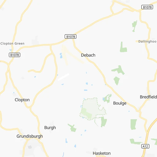
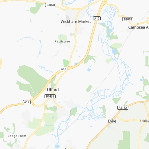
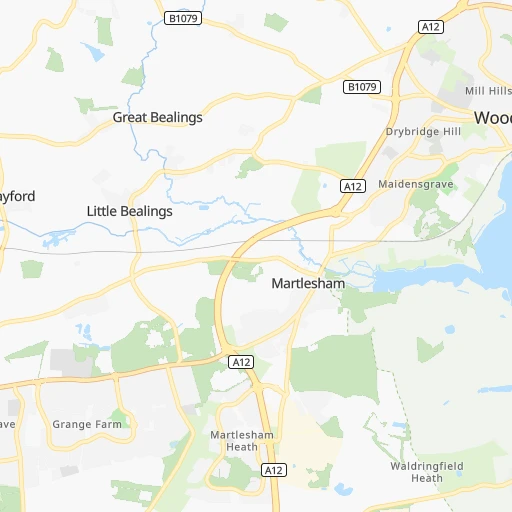
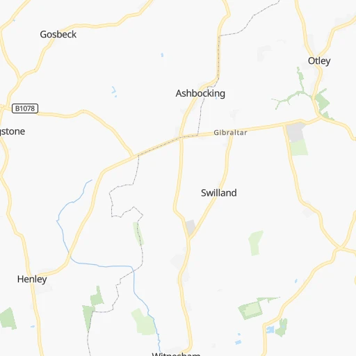
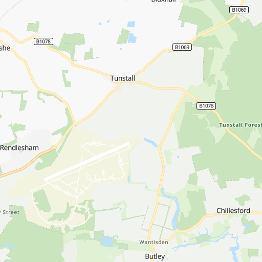
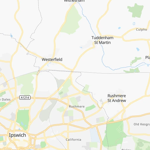
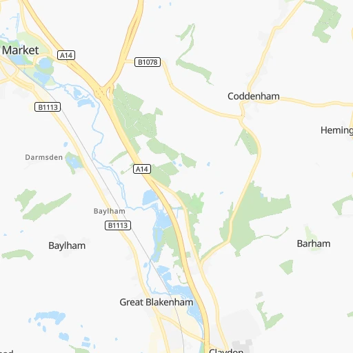
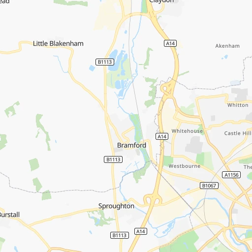
Roadmap (route) to go from Melton Railway Station to Plymouth detailed above, you can also see the course layout on the map.
While doing trip Melton Railway Station - Plymouth by car, the calculated route ends at a distance , or more straight.
Distance and duration of the route between Melton Railway Station and Plymouth
Calculation of distance and route from Plymouth to Melton Railway Station :
427.0477.2 km6h54mn
Continue onto The Sidings 0h0mn 19 mTurn left onto Wilford Bridge Road 0h3mn 2.0 kmAt roundabout, take exit 1 onto A12 0h1mn 1.4 kmAt roundabout, take exit 3 onto Grundisburgh Road 0h1mn 999 mTurn left 0h0mn 405 mKeep right 0h5mn 4.9 kmTurn left onto Grundisburgh Road 0h5mn 4.2 kmAt roundabout, take exit 3 onto Valley Road 0h1mn 597 mAt roundabout, take exit 2 onto Valley Road 0h2mn 1.8 kmTurn left 0h0mn 14 mTurn right onto Chevallier Street 0h1mn 961 mTurn right onto London Road 0h0mn 345 mTurn slight left onto London Road 0h3mn 2.8 kmAt roundabout, take exit 2 onto A1214 0h0mn 566 mAt roundabout, take exit 2 onto Copdock Interchange 1h32mn 53.8 kmKeep left onto A12 0h0mn 420 mKeep right onto A12 0h0mn 21 mContinue onto A131 0h0mn 143 mKeep right onto A131 0h0mn 108 mAt roundabout, take exit 2 onto Chelmer Road 0h2mn 2.5 kmAt roundabout, take exit 3 onto Chelmer Road 0h1mn 1.0 kmAt roundabout, take exit 2 onto Chelmer Road 0h1mn 982 mAt roundabout, take exit 3 onto Van Dieman's Road 0h1mn 486 mAt roundabout, take exit 2 onto Princes Road 0h1mn 1.3 kmAt roundabout, take exit 2 onto London Road 0h1mn 585 mAt roundabout, take exit 1 onto London Road 0h0mn 184 mAt roundabout, take exit 2 onto Three Mile Hill 0h2mn 3.3 kmAt roundabout, take exit 2 onto Webbs Farm Interchange 0h0mn 178 mAt roundabout, take exit 2 onto Whites Place Roundabout 0h12mn 19.3 kmAt roundabout, take exit 3 onto Eastern Avenue East 0h10mn 11.1 kmAt roundabout, take exit 2 onto Eastern Avenue 0h2mn 1.5 kmAt roundabout, take exit 3 onto Eastern Avenue 0h5mn 5.6 kmKeep left onto A12 0h0mn 344 mKeep left onto A12 0h0mn 168 mTurn slight left onto Eastway 0h2mn 915 mTurn right onto Wick Road 0h0mn 199 mKeep left onto Victoria Park Road 0h0mn 25 mTurn left onto Victoria Park Road 0h2mn 1.1 kmAt roundabout, take exit 2 onto Victoria Park Road 0h2mn 893 mContinue onto Victoria Park Road 0h1mn 347 mTurn right 0h0mn 34 mTurn left onto Hackney Road 0h3mn 1.6 kmKeep right onto Hackney Road 0h0mn 31 mContinue onto Old Street 0h1mn 449 mTurn slight right onto Great Eastern Street 0h0mn 50 mTurn slight left onto Great Eastern Street 0h0mn 60 mTurn left onto Old Street 0h0mn 28 mTurn left onto Old Street 0h0mn 58 mKeep left onto Old Street 0h0mn 72 mKeep right onto Old Street Roundabout 0h0mn 14 mContinue onto Old Street 0h5mn 2.4 kmTurn left onto Drake Street 0h0mn 160 mTurn right onto Catton Street 0h0mn 94 mTurn left onto Southampton Row 0h0mn 49 mTurn right onto High Holborn 0h0mn 149 mKeep left onto High Holborn 0h0mn 193 mTurn slight left onto High Holborn 0h0mn 159 mTurn left onto Shaftesbury Avenue 0h2mn 751 mTurn left onto Shaftesbury Avenue 0h0mn 19 mTurn left onto Great Windmill Street 0h0mn 80 mKeep right onto Haymarket 0h0mn 215 mTurn right onto Charles II Street 0h0mn 112 mTurn right onto Regent Street St James's 0h0mn 163 mTurn left onto Jermyn Street 0h1mn 517 mTurn right onto Arlington Street 0h0mn 68 mTurn left onto Piccadilly 0h0mn 86 mTurn left onto Piccadilly 0h3mn 1.3 kmTurn left onto Knightsbridge 0h0mn 232 mTurn slight left onto Brompton Road 0h2mn 781 mContinue onto Thurloe Place 0h0mn 185 mContinue onto Cromwell Gardens 0h8mn 5.9 kmAt roundabout, take exit 2 onto Burlington Lane 0h2mn 1.8 kmTurn slight left onto A316 0h2mn 1.7 kmAt roundabout, take exit 2 onto Lower Mortlake Road 0h1mn 836 mAt roundabout, take exit 2 onto Twickenham Road 0h2mn 1.9 kmAt roundabout, take exit 2 onto Chertsey Road 0h1mn 597 mAt roundabout, take exit 2 onto Chertsey Road 0h1mn 528 mAt roundabout, take exit 2 onto Chertsey Road 0h2mn 2.3 kmAt roundabout, take exit 2 onto Great Chertsey Road 0h4mn 4.2 kmKeep right onto M3 1h36mn 60.1 kmKeep left onto M3 0h27mn 46.0 kmAt roundabout, take exit 2 onto Countess 0h4mn 5.6 kmAt roundabout, take exit 2 onto Longbarrow 1h35mn 55.3 kmAt roundabout, take exit 2 onto A359 0h2mn 1.7 kmTurn right onto West Camel Road 0h4mn 4.0 kmTurn left onto B3151 0h4mn 3.5 kmAt roundabout, take exit 1 onto B3151 0h1mn 1.0 kmAt roundabout, take exit 2 onto A37 0h0mn 565 mKeep left onto A37 and take A303 toward Exeter, Taunton 0h3mn 5.3 kmAt roundabout, take exit 2 onto Cartgate Roundabout 0h3mn 5.2 kmAt roundabout, take exit 3 onto Hayes End Roundabout 0h7mn 10.3 kmAt roundabout, take exit 2 onto Southfields Roundabout 1h33mn 46.8 kmKeep left 0h7mn 11.8 kmKeep right onto Haldon Hill and take A38 toward Plymouth 1h32mn 55.2 kmKeep left 0h1mn 953 mAt roundabout, take exit 1 onto Plymouth Road 0h3mn 2.9 kmKeep right onto Gdynia Way 0h2mn 1.2 kmKeep left onto Gdynia Way 0h1mn 791 mAt roundabout, take exit 2 onto Exeter Street 0h0mn 250 mAt roundabout, take exit 3 onto Royal Parade 0h1mn 532 mAt roundabout, take exit 3 onto Raleigh Street 0h0mn 304 mTurn left onto New George Street 0h2mn 470 mTurn left 0h0mn 34 mTurn right 0h0mn 14 mArrive at destination 0h0mn 0 m
Travel from Melton Railway Station (England) to a selection of major cities.
Distances from Melton Railway Station to biggest cities in England
- Plymouth,260,203 inhabitants.428 km
- Luton,258,018 inhabitants.123 km
- Wolverhampton,252,791 inhabitants.241 km
- City of Westminster,247,614 inhabitants.121 km
- Southampton,246,201 inhabitants.232 km
- Blackpool,239,409 inhabitants.351 km
- Milton Keynes,229,941 inhabitants.143 km
- Bexley,228,000 inhabitants.110 km
- Northampton,215,963 inhabitants.153 km
- Archway,215,667 inhabitants.118 km
- Norwich,213,166 inhabitants.58 km
- Dudley,199,059 inhabitants.237 km
- Portsmouth,194,150 inhabitants.223 km
- Newcastle upon Tyne,192,382 inhabitants.374 km
- Sutton,187,600 inhabitants.135 km
- Swindon,185,609 inhabitants.223 km
- Crawley,180,508 inhabitants.152 km
- Ipswich,178,835 inhabitants.13 km
- Wigan,175,405 inhabitants.312 km
- Croydon,173,314 inhabitants.128 km
Other major cities in country :
- Bridgend [WLS], 58,380 inhabitants. 345 km
- Castlereagh [NIR], 56,679 inhabitants. 553 km
- Livingston [SCT], 56,570 inhabitants. 529 km
- Barry [WLS], 54,673 inhabitants. 328 km
- Hamilton [SCT], 53,200 inhabitants. 538 km
- Cumbernauld [SCT], 51,610 inhabitants. 551 km
- Dunfermline [SCT], 50,380 inhabitants. 541 km
Route from Plymouth to major cities (United Kingdom).
- Distance Plymouth Glasgow612 km
- Distance Plymouth Edinburgh624 km
- Distance Plymouth Cardiff141 km
- Distance Plymouth Newport157 km
- Distance Plymouth Swansea140 km
- Distance Plymouth Belfast486 km
- Distance Plymouth Aberdeen766 km
- Distance Plymouth Dundee683 km
- Distance Plymouth Londonderry County Borough557 km
- Distance Plymouth Derry557 km
- Distance Plymouth Lisburn480 km
- Distance Plymouth Paisley608 km
- Distance Plymouth East Kilbride600 km
- Distance Plymouth Wrexham308 km
- Distance Plymouth Newtownabbey492 km
- Distance Plymouth Buckley320 km
- Distance Plymouth Tonypandy147 km
- Distance Plymouth Bangor488 km
- Distance Plymouth Rhondda151 km
- Distance Plymouth Craigavon479 km
Nearest cities to Melton Railway Station :
- London, 7,556,900 inhabitants. 121 km
- Nottingham, 729,977 inhabitants. 193 km
- Sheffield, 685,368 inhabitants. 237 km
- Leicester, 508,916 inhabitants. 178 km
- Leeds, 455,123 inhabitants. 270 km
- Coventry, 359,262 inhabitants. 197 km
- Sunderland, 335,415 inhabitants. 360 km
- Islington, 319,143 inhabitants. 118 km
- Reading, 318,014 inhabitants. 175 km
- Kingston upon Hull, 314,018 inhabitants. 214 km
- Southend-on-Sea, 295,310 inhabitants. 76 km
- Derby, 270,468 inhabitants. 211 km
- Luton, 258,018 inhabitants. 123 km
- City of Westminster, 247,614 inhabitants. 121 km
- Southampton, 246,201 inhabitants. 232 km
- Milton Keynes, 229,941 inhabitants. 143 km
- Bexley, 228,000 inhabitants. 110 km
- Northampton, 215,963 inhabitants. 153 km
- Archway, 215,667 inhabitants. 118 km
- Norwich, 213,166 inhabitants. 58 km
- Portsmouth, 194,150 inhabitants. 223 km
- Newcastle upon Tyne, 192,382 inhabitants. 374 km
- Sutton, 187,600 inhabitants. 135 km
- Crawley, 180,508 inhabitants. 152 km
- Ipswich, 178,835 inhabitants. 13 km
- Croydon, 173,314 inhabitants. 128 km
- Mansfield, 171,958 inhabitants. 206 km
- Oxford, 171,380 inhabitants. 182 km
- Slough, 163,777 inhabitants. 149 km
- Peterborough, 163,379 inhabitants. 120 km
- Cambridge, 158,434 inhabitants. 84 km
- Doncaster, 158,141 inhabitants. 229 km
- York, 153,717 inhabitants. 262 km
- Basildon, 144,859 inhabitants. 85 km
- Middlesbrough, 142,707 inhabitants. 324 km
- Brighton, 139,001 inhabitants. 175 km
- Grimsby, 134,160 inhabitants. 188 km
- Hastings, 133,422 inhabitants. 149 km
- High Wycombe, 133,204 inhabitants. 153 km
- Watford, 125,707 inhabitants. 129 km
- Saint Peters, 125,370 inhabitants. 82 km
- Burton upon Trent, 122,199 inhabitants. 217 km
- Colchester, 121,859 inhabitants. 38 km
- Eastbourne, 118,219 inhabitants. 166 km
- Rotherham, 117,618 inhabitants. 234 km
- Lincoln, 114,879 inhabitants. 178 km
- Chesterfield, 113,057 inhabitants. 225 km
- Chelmsford, 111,511 inhabitants. 72 km
- Dagenham, 108,368 inhabitants. 102 km
- Basingstoke, 107,642 inhabitants. 192 km
Location Melton Railway Station (England) :
| Country flag |  |
| Location | Melton Railway Station |
| State | England |
| County | Suffolk |
| Country | United Kingdom |
| Country code / ISO 2 | GB |
| Latitude | 52.1043000 |
| Longitude | 1.3381600 |
| Altitude | 0 meters |
| Time zone | Europe/London |
Location Plymouth (England) :
| Country flag | |
| Location | Plymouth |
| State | England |
| County | Plymouth |
| Country | United Kingdom |
| Country code / ISO 2 | GB |
| Latitude | 50.3715300 |
| Longitude | -4.1430500 |
| Altitude | 0 meters |
| Time zone | Europe/London |


