
How to get from Hope Railway Station (England) to Mansfield (England)
Calculate route from Hope Railway Station (England, United Kingdom) to Mansfield (England, United Kingdom).
The flight distance (as the crow flies) between Hope Railway Station and Mansfield is 42.4 km.
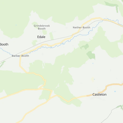
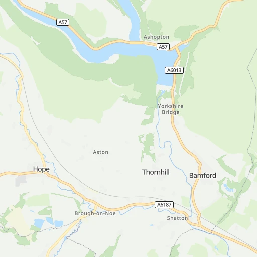
Roadmap (route) to go from Hope Railway Station to Mansfield detailed above, you can also see the course layout on the map.
While doing trip Hope Railway Station - Mansfield by car, the calculated route ends at a distance , or more straight.
Distance and duration of the route between Hope Railway Station and Mansfield
Calculation of distance and route from Mansfield to Hope Railway Station :
42.449.5 km1h47mn
Continue 0h0mn 33 mTurn slight right onto Station Road 0h0mn 205 mTurn left onto Hope Road 0h10mn 10.8 kmTurn right onto Owler Bar Road 0h1mn 1.3 kmKeep left onto B6054 0h2mn 2.9 kmAt roundabout, take exit 4 onto Horsleygate Road 0h11mn 10.4 kmTurn slight right onto Newbold Road 0h2mn 2.2 kmContinue onto Holywell Street 0h0mn 57 mKeep left onto Holywell Street 0h0mn 351 mTurn slight left onto St Mary's Gate 0h0mn 207 mAt roundabout, take exit 3 onto A617 0h0mn 308 mAt roundabout, take exit 2 onto A617 0h5mn 8.0 kmAt roundabout, take exit 3 onto A617 0h6mn 5.9 kmAt roundabout, take exit 3 onto A617 0h4mn 3.2 kmKeep right onto Chesterfield Road South 0h2mn 1.2 kmTurn right onto Rosemary Street 0h2mn 1.4 kmContinue onto Rosemary Street 0h0mn 310 mContinue onto Nottingham Road 0h0mn 62 mTurn slight left onto Nottingham Road 0h1mn 508 mTurn sharp right onto Stanley Road 0h0mn 177 mArrive at destination 0h0mn 0 m
Travel from Hope Railway Station (England) to a selection of major cities.
Distances from Hope Railway Station to biggest cities in England
- Plymouth,260,203 inhabitants.370 km
- Luton,258,018 inhabitants.186 km
- Wolverhampton,252,791 inhabitants.89 km
- City of Westminster,247,614 inhabitants.233 km
- Southampton,246,201 inhabitants.273 km
- Blackpool,239,409 inhabitants.102 km
- Milton Keynes,229,941 inhabitants.159 km
- Bexley,228,000 inhabitants.247 km
- Northampton,215,963 inhabitants.135 km
- Archway,215,667 inhabitants.226 km
- Norwich,213,166 inhabitants.218 km
- Dudley,199,059 inhabitants.97 km
- Portsmouth,194,150 inhabitants.287 km
- Newcastle upon Tyne,192,382 inhabitants.181 km
- Sutton,187,600 inhabitants.245 km
- Swindon,185,609 inhabitants.199 km
- Crawley,180,508 inhabitants.270 km
- Ipswich,178,835 inhabitants.242 km
- Wigan,175,405 inhabitants.64 km
- Croydon,173,314 inhabitants.245 km
Other major cities in country :
- Bridgend [WLS], 58,380 inhabitants. 240 km
- Castlereagh [NIR], 56,679 inhabitants. 304 km
- Livingston [SCT], 56,570 inhabitants. 307 km
- Barry [WLS], 54,673 inhabitants. 241 km
- Hamilton [SCT], 53,200 inhabitants. 308 km
- Cumbernauld [SCT], 51,610 inhabitants. 324 km
- Dunfermline [SCT], 50,380 inhabitants. 323 km
Route from Mansfield to major cities (United Kingdom).
- Distance Mansfield Glasgow363 km
- Distance Mansfield Edinburgh339 km
- Distance Mansfield Cardiff228 km
- Distance Mansfield Newport211 km
- Distance Mansfield Swansea251 km
- Distance Mansfield Belfast350 km
- Distance Mansfield Aberdeen450 km
- Distance Mansfield Dundee388 km
- Distance Mansfield Londonderry County Borough450 km
- Distance Mansfield Derry450 km
- Distance Mansfield Lisburn353 km
- Distance Mansfield Paisley366 km
- Distance Mansfield East Kilbride350 km
- Distance Mansfield Wrexham120 km
- Distance Mansfield Newtownabbey352 km
- Distance Mansfield Buckley126 km
- Distance Mansfield Tonypandy228 km
- Distance Mansfield Bangor338 km
- Distance Mansfield Rhondda224 km
- Distance Mansfield Craigavon371 km
Nearest cities to Hope Railway Station :
- London, 7,556,900 inhabitants. 232 km
- Birmingham, 984,333 inhabitants. 97 km
- Liverpool, 864,122 inhabitants. 83 km
- Nottingham, 729,977 inhabitants. 58 km
- Sheffield, 685,368 inhabitants. 18 km
- Bristol, 617,280 inhabitants. 219 km
- Glasgow, 591,620 inhabitants. 324 km
- Leicester, 508,916 inhabitants. 88 km
- Edinburgh, 464,990 inhabitants. 305 km
- Leeds, 455,123 inhabitants. 52 km
- Cardiff, 447,287 inhabitants. 230 km
- Manchester, 395,515 inhabitants. 37 km
- Stoke-on-Trent, 372,775 inhabitants. 49 km
- Coventry, 359,262 inhabitants. 106 km
- Sunderland, 335,415 inhabitants. 175 km
- Birkenhead, 325,264 inhabitants. 86 km
- Islington, 319,143 inhabitants. 230 km
- Reading, 318,014 inhabitants. 217 km
- Kingston upon Hull, 314,018 inhabitants. 102 km
- Preston, 313,332 inhabitants. 79 km
- Newport, 306,844 inhabitants. 214 km
- Swansea, 300,352 inhabitants. 244 km
- Bradford, 299,310 inhabitants. 50 km
- Southend-on-Sea, 295,310 inhabitants. 261 km
- Derby, 270,468 inhabitants. 50 km
- Plymouth, 260,203 inhabitants. 370 km
- Luton, 258,018 inhabitants. 186 km
- Wolverhampton, 252,791 inhabitants. 89 km
- City of Westminster, 247,614 inhabitants. 233 km
- Southampton, 246,201 inhabitants. 273 km
- Blackpool, 239,409 inhabitants. 102 km
- Milton Keynes, 229,941 inhabitants. 159 km
- Bexley, 228,000 inhabitants. 247 km
- Northampton, 215,963 inhabitants. 135 km
- Archway, 215,667 inhabitants. 226 km
- Dudley, 199,059 inhabitants. 97 km
- Portsmouth, 194,150 inhabitants. 287 km
- Newcastle upon Tyne, 192,382 inhabitants. 181 km
- Sutton, 187,600 inhabitants. 245 km
- Swindon, 185,609 inhabitants. 199 km
- Crawley, 180,508 inhabitants. 270 km
- Ipswich, 178,835 inhabitants. 242 km
- Wigan, 175,405 inhabitants. 64 km
- Croydon, 173,314 inhabitants. 245 km
- Walsall, 172,141 inhabitants. 86 km
- Mansfield, 171,958 inhabitants. 42 km
- Oxford, 171,380 inhabitants. 180 km
- Warrington, 165,456 inhabitants. 57 km
- Slough, 163,777 inhabitants. 218 km
- Bournemouth, 163,600 inhabitants. 292 km
Location Hope Railway Station (England) :
| Country flag |  |
| Location | Hope Railway Station |
| State | England |
| County | Derbyshire |
| Country | United Kingdom |
| Country code / ISO 2 | GB |
| Latitude | 53.3460000 |
| Longitude | -1.7290000 |
| Altitude | 0 meters |
| Time zone | Europe/London |
Location Mansfield (England) :
| Country flag | |
| Location | Mansfield |
| State | England |
| County | Nottinghamshire |
| Country | United Kingdom |
| Country code / ISO 2 | GB |
| Latitude | 53.1333300 |
| Longitude | -1.2000000 |
| Altitude | 0 meters |
| Time zone | Europe/London |


