


How to get from Halling Railway Station (England) to Stoke-on-Trent (England)
Calculate route from Halling Railway Station (England, United Kingdom) to Stoke-on-Trent (England, United Kingdom).
The flight distance (as the crow flies) between Halling Railway Station and Stoke-on-Trent is 256.5 km.
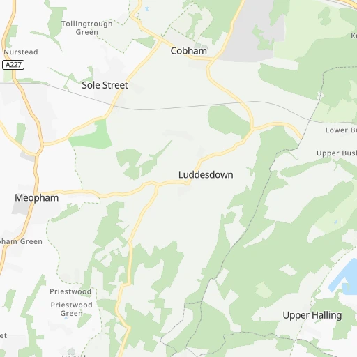
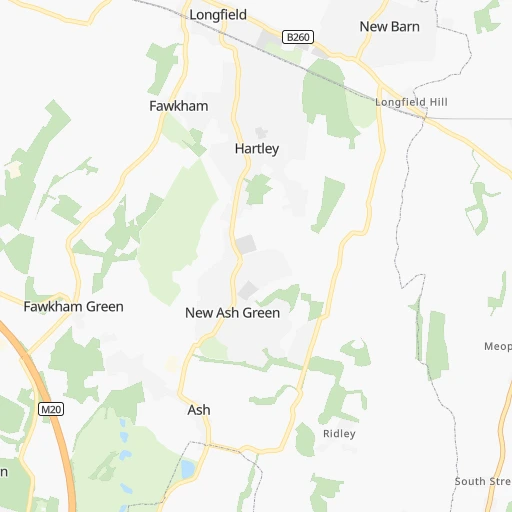
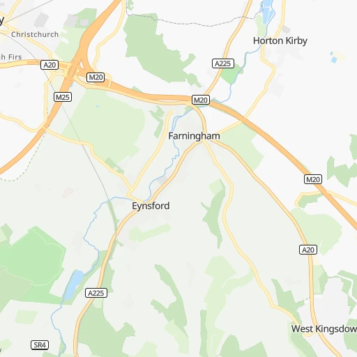
Roadmap (route) to go from Halling Railway Station to Stoke-on-Trent detailed above, you can also see the course layout on the map.
While doing trip Halling Railway Station - Stoke-on-Trent by car, the calculated route ends at a distance , or more straight.
Distance and duration of the route between Halling Railway Station and Stoke-on-Trent
Calculation of distance and route from Stoke-on-Trent to Halling Railway Station :
256.5299.1 km3h26mn
Continue 0h0mn 67 mTurn sharp right onto High Street 0h1mn 610 mContinue onto Formby Road 0h0mn 71 mAt roundabout, take exit 3 onto Formby Road 0h2mn 2.3 kmTurn left onto Rochester Road 0h0mn 24 mTurn slight left onto Rochester Road 0h1mn 1.1 kmAt roundabout, take exit 1 onto A228 0h0mn 294 mAt roundabout, take exit 1 onto M2 0h8mn 14.2 kmKeep left and take B255 toward Bean 0h0mn 406 mAt roundabout, take exit 2 onto Bean Lane 0h0mn 329 mAt roundabout, take exit 2 onto Bean Lane 0h0mn 342 mAt roundabout, take exit 1 onto Watling Street 0h1mn 1.2 kmAt roundabout, take exit 2 onto Watling Street 0h1mn 531 mAt roundabout, take exit 2 onto Princes Road 0h1mn 1.1 kmAt roundabout, take exit 3 0h2mn 2.1 kmKeep left onto Canterbury Way 0h4mn 4.6 kmKeep right onto M25 and take M25 toward (M11, M1), Stansted 1h33mn 56.7 kmKeep left onto M25 and take A1081 toward St Albans 0h0mn 310 mAt roundabout, take exit 3 onto A1081 0h0mn 347 mAt roundabout, take exit 3 onto The Bell Roundabout 0h1mn 2.3 kmAt roundabout, take exit 2 onto North Orbital Road 0h2mn 3.1 kmAt roundabout, take exit 3 onto Park Street Roundabout 0h4mn 5.8 kmKeep right onto M1 and take M1 toward The NORTH 1h51mn 86.1 kmKeep right onto M1 0h2mn 2.6 kmKeep left and take M1 toward Hinckley, Rugby, Rail Freight Terminal 0h0mn 404 mKeep right and take M1 toward Hinckley, Rugby, Rail Freight Terminal 0h0mn 57 mAt roundabout, take exit 1 onto Crick Road 0h0mn 471 mAt roundabout, take exit 2 onto A5 0h1mn 876 mAt roundabout, take exit 4 onto Watling Street 0h1mn 1.9 kmAt roundabout, take exit 1 onto Watling Street 0h5mn 6.2 kmAt roundabout, take exit 2 onto Watling Street 0h2mn 3.8 kmAt roundabout, take exit 3 onto Watling Street 0h1mn 944 mAt roundabout, take exit 2 onto Watling Street 0h5mn 8.0 kmAt roundabout, take exit 1 onto Watling Street 0h1mn 1.5 kmAt roundabout, take exit 3 onto Watling Street 0h2mn 2.2 kmAt roundabout, take exit 1 onto Watling Street 0h1mn 764 mAt roundabout, take exit 2 onto Watling Street 0h0mn 94 mContinue onto Watling Street 0h1mn 1.1 kmAt roundabout, take exit 1 onto Dodwells Roundabout 0h0mn 126 mTurn slight left onto Watling Street 0h2mn 2.5 kmAt roundabout, take exit 2 onto Watling Street 0h1mn 1.5 kmAt roundabout, take exit 2 onto Watling Street 0h1mn 1.3 kmAt roundabout, take exit 2 onto Watling Street 0h3mn 3.3 kmAt roundabout, take exit 3 onto Atherstone Bypass 0h2mn 2.7 kmContinue onto Watling Street 0h0mn 143 mAt roundabout, take exit 2 onto A5 0h2mn 2.7 kmAt roundabout, take exit 2 onto Watling Street 0h1mn 1.4 kmAt roundabout, take exit 2 onto Watling Street 0h1mn 1.8 kmAt roundabout, take exit 3 onto Watling Street 0h7mn 12.5 kmAt roundabout, take exit 5 onto Weeford Island 0h2mn 3.0 kmAt roundabout, take exit 2 onto London Road 0h1mn 1.4 kmTurn slight left onto Upper St John Street 0h1mn 442 mTurn sharp left onto Chapel Lane 0h0mn 185 mTurn right onto Ivanhoe Road 0h1mn 278 mTurn left onto Birmingham Road 0h0mn 9 mTurn right onto Friary Avenue 0h0mn 306 mAt roundabout, take exit 4 onto Western By-Pass 0h3mn 2.8 kmAt roundabout, take exit 1 onto Stafford Road 0h5mn 6.8 kmAt roundabout, take exit 1 onto Brereton Hill 0h2mn 2.3 kmAt roundabout, take exit 2 onto Horse Fair 0h0mn 179 mAt roundabout, take exit 2 onto Western Springs Road 0h1mn 1.4 kmAt roundabout, take exit 2 onto Wolseley Road 0h1mn 972 mAt roundabout, take exit 1 onto A51 0h1mn 1.4 kmAt roundabout, take exit 1 onto A51 0h0mn 70 mAt roundabout, take exit 2 onto A51 0h14mn 17.5 kmAt roundabout, take exit 3 onto Stafford Road 0h2mn 1.5 kmAt roundabout, take exit 3 onto The Fillybrooks 0h2mn 1.8 kmAt roundabout, take exit 2 onto Newcastle Road 0h0mn 89 mAt roundabout, take exit 1 onto Newcastle Road 0h0mn 583 mAt roundabout, take exit 1 onto Newcastle Road 0h0mn 403 mAt roundabout, take exit 6 onto Stone Road 0h3mn 3.9 kmAt roundabout, take exit 2 onto Stone Road 0h1mn 1.9 kmAt roundabout, take exit 2 onto Stone Road 0h2mn 2.1 kmAt roundabout, take exit 3 onto Hanford Roundabout 0h1mn 927 mKeep left 0h0mn 77 mKeep left 0h0mn 278 mKeep left 0h0mn 209 mAt roundabout, take exit 2 onto Campbell Road 0h2mn 1.1 kmTurn left onto Boothen Road 0h0mn 225 mTurn left onto Fleming Road 0h0mn 126 mTurn right onto South Wolfe Street 0h0mn 124 mTurn left onto Church Street 0h1mn 69 mArrive at destination 0h0mn 0 m
Travel from Halling Railway Station (England) to a selection of major cities.
Distances from Halling Railway Station to biggest cities in England
- Plymouth,260,203 inhabitants.340 km
- Luton,258,018 inhabitants.84 km
- Wolverhampton,252,791 inhabitants.223 km
- City of Westminster,247,614 inhabitants.42 km
- Southampton,246,201 inhabitants.138 km
- Blackpool,239,409 inhabitants.362 km
- Milton Keynes,229,941 inhabitants.113 km
- Bexley,228,000 inhabitants.23 km
- Northampton,215,963 inhabitants.135 km
- Archway,215,667 inhabitants.47 km
- Norwich,213,166 inhabitants.154 km
- Dudley,199,059 inhabitants.216 km
- Portsmouth,194,150 inhabitants.124 km
- Newcastle upon Tyne,192,382 inhabitants.426 km
- Sutton,187,600 inhabitants.45 km
- Swindon,185,609 inhabitants.156 km
- Crawley,180,508 inhabitants.51 km
- Ipswich,178,835 inhabitants.93 km
- Wigan,175,405 inhabitants.321 km
- Croydon,173,314 inhabitants.38 km
Other major cities in country :
- Bridgend [WLS], 58,380 inhabitants. 280 km
- Castlereagh [NIR], 56,679 inhabitants. 555 km
- Livingston [SCT], 56,570 inhabitants. 570 km
- Barry [WLS], 54,673 inhabitants. 259 km
- Hamilton [SCT], 53,200 inhabitants. 573 km
- Cumbernauld [SCT], 51,610 inhabitants. 589 km
- Dunfermline [SCT], 50,380 inhabitants. 585 km
Route from Stoke-on-Trent to major cities (United Kingdom).
- Distance Stoke-on-Trent Glasgow346 km
- Distance Stoke-on-Trent Edinburgh335 km
- Distance Stoke-on-Trent Cardiff183 km
- Distance Stoke-on-Trent Newport167 km
- Distance Stoke-on-Trent Swansea195 km
- Distance Stoke-on-Trent Belfast303 km
- Distance Stoke-on-Trent Aberdeen461 km
- Distance Stoke-on-Trent Dundee389 km
- Distance Stoke-on-Trent Londonderry County Borough402 km
- Distance Stoke-on-Trent Derry402 km
- Distance Stoke-on-Trent Lisburn305 km
- Distance Stoke-on-Trent Paisley347 km
- Distance Stoke-on-Trent East Kilbride333 km
- Distance Stoke-on-Trent Wrexham54 km
- Distance Stoke-on-Trent Newtownabbey306 km
- Distance Stoke-on-Trent Buckley63 km
- Distance Stoke-on-Trent Tonypandy176 km
- Distance Stoke-on-Trent Bangor293 km
- Distance Stoke-on-Trent Rhondda173 km
- Distance Stoke-on-Trent Craigavon320 km
Nearest cities to Halling Railway Station :
- London, 7,556,900 inhabitants. 43 km
- Birmingham, 984,333 inhabitants. 204 km
- Nottingham, 729,977 inhabitants. 209 km
- Sheffield, 685,368 inhabitants. 261 km
- Leicester, 508,916 inhabitants. 179 km
- Leeds, 455,123 inhabitants. 304 km
- Manchester, 395,515 inhabitants. 299 km
- Stoke-on-Trent, 372,775 inhabitants. 257 km
- Coventry, 359,262 inhabitants. 179 km
- Islington, 319,143 inhabitants. 43 km
- Reading, 318,014 inhabitants. 99 km
- Kingston upon Hull, 314,018 inhabitants. 272 km
- Bradford, 299,310 inhabitants. 310 km
- Southend-on-Sea, 295,310 inhabitants. 28 km
- Derby, 270,468 inhabitants. 219 km
- Luton, 258,018 inhabitants. 84 km
- Wolverhampton, 252,791 inhabitants. 223 km
- City of Westminster, 247,614 inhabitants. 42 km
- Southampton, 246,201 inhabitants. 138 km
- Milton Keynes, 229,941 inhabitants. 113 km
- Bexley, 228,000 inhabitants. 23 km
- Northampton, 215,963 inhabitants. 135 km
- Archway, 215,667 inhabitants. 47 km
- Norwich, 213,166 inhabitants. 154 km
- Dudley, 199,059 inhabitants. 216 km
- Portsmouth, 194,150 inhabitants. 124 km
- Sutton, 187,600 inhabitants. 45 km
- Swindon, 185,609 inhabitants. 156 km
- Crawley, 180,508 inhabitants. 51 km
- Ipswich, 178,835 inhabitants. 93 km
- Croydon, 173,314 inhabitants. 38 km
- Walsall, 172,141 inhabitants. 216 km
- Mansfield, 171,958 inhabitants. 228 km
- Oxford, 171,380 inhabitants. 126 km
- Slough, 163,777 inhabitants. 74 km
- Bournemouth, 163,600 inhabitants. 177 km
- Peterborough, 163,379 inhabitants. 144 km
- Cambridge, 158,434 inhabitants. 97 km
- Doncaster, 158,141 inhabitants. 264 km
- York, 153,717 inhabitants. 308 km
- Poole, 150,092 inhabitants. 184 km
- Gloucester, 150,053 inhabitants. 194 km
- Burnley, 149,422 inhabitants. 327 km
- Huddersfield, 149,017 inhabitants. 297 km
- Telford, 147,980 inhabitants. 247 km
- Blackburn, 146,521 inhabitants. 332 km
- Basildon, 144,859 inhabitants. 24 km
- Bolton, 141,331 inhabitants. 316 km
- Stockport, 139,052 inhabitants. 289 km
- Brighton, 139,001 inhabitants. 71 km
Location Halling Railway Station (England) :
| Country flag |  |
| Location | Halling Railway Station |
| State | England |
| County | Medway |
| Country | United Kingdom |
| Country code / ISO 2 | GB |
| Latitude | 51.3520000 |
| Longitude | 0.4450000 |
| Altitude | 0 meters |
| Time zone | Europe/London |
Location Stoke-on-Trent (England) :
| Country flag | |
| Location | Stoke-on-Trent |
| State | England |
| County | Stoke-on-Trent |
| Country | United Kingdom |
| Country code / ISO 2 | GB |
| Latitude | 53.0041500 |
| Longitude | -2.1853800 |
| Altitude | 0 meters |
| Time zone | Europe/London |


