

How to get from Stantsiya Syren’ (Republic of Crimea) to Yakymivka (Zaporizhia)
Calculate route from Stantsiya Syren’ (Republic of Crimea, Ukraine) to Yakymivka (Zaporizhia, Ukraine).
The flight distance (as the crow flies) between Stantsiya Syren’ and Yakymivka is 245.7 km.
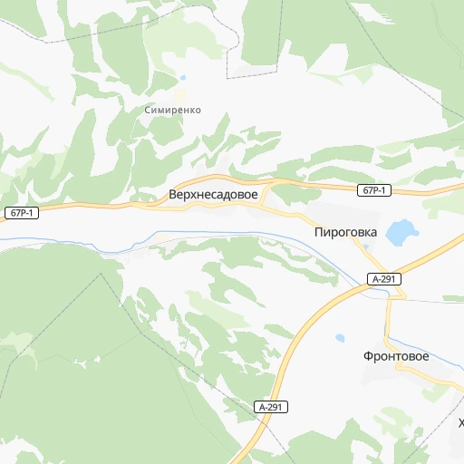
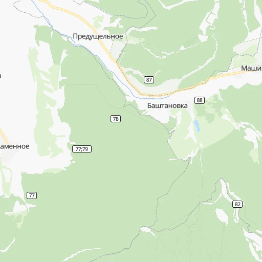
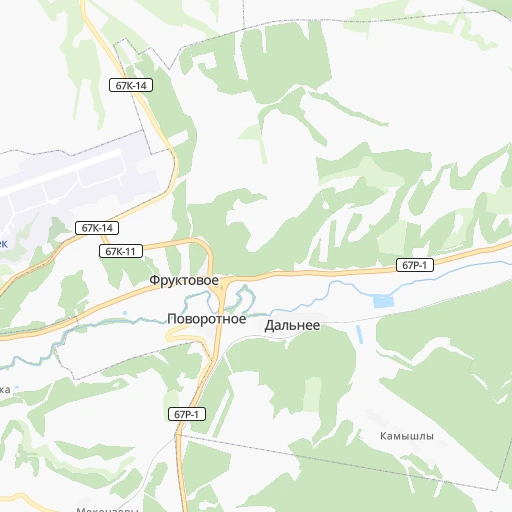
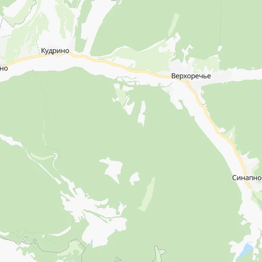
Roadmap (route) to go from Stantsiya Syren’ to Yakymivka detailed above, you can also see the course layout on the map.
While doing trip Stantsiya Syren’ - Yakymivka by car, the calculated route ends at a distance , or more straight.
Distance and duration of the route between Stantsiya Syren’ and Yakymivka
Calculation of distance and route from Yakymivka to Stantsiya Syren’ :
245.7267.8 km4h36mn
Continue onto Ялтинская улица 0h0mn 153 mTurn right 0h0mn 81 mTurn left 0h1mn 801 mTurn right 0h1mn 612 mKeep right 0h24mn 32.3 kmKeep left onto «Таврида» 0h13mn 17.2 kmKeep right 1h9mn 83.6 kmContinue onto 35А-002, М-18 2h45mn 128.1 kmKeep left onto Т-08-20 0h2mn 2.5 kmTurn left onto С082002 0h0mn 93 mContinue onto Т-08-20 0h2mn 2.0 kmTurn right onto Центральна вулиця 0h1mn 503 mTurn left 0h0mn 23 mArrive at destination 0h0mn 0 m
Travel from Stantsiya Syren’ (Zaporizhia) to a selection of major cities.
Distances from Stantsiya Syren’ to biggest cities in Republic of Crimea
Other major cities in country :
- Zhytomyr [27], 282,192 inhabitants. 729 km
- Horlivka [05], 278,550 inhabitants. 519 km
- Rivne [19], 255,106 inhabitants. 869 km
- Kropyvnytskyi [10], 249,454 inhabitants. 440 km
- Kamianske [04], 248,575 inhabitants. 428 km
- Chernivtsi [03], 236,250 inhabitants. 722 km
- Ternopil [22], 235,676 inhabitants. 822 km
- Kremenchuk [18], 227,494 inhabitants. 487 km
- Lutsk [24], 213,661 inhabitants. 924 km
- Ivano-Frankivsk [06], 204,200 inhabitants. 836 km
- Bila Tserkva [13], 199,163 inhabitants. 633 km
- Kramators'k [05], 173,700 inhabitants. 531 km
- Melitopol [26], 158,000 inhabitants. 268 km
- Nikopol [04], 130,500 inhabitants. 323 km
- Syevyerodonets'k [14], 130,000 inhabitants. 592 km
- Sloviansk [05], 124,800 inhabitants. 547 km
- Berdyansk [26], 118,284 inhabitants. 327 km
- Uzhgorod [25], 117,878 inhabitants. 979 km
- Alchevs'k [14], 116,000 inhabitants. 568 km
- Pavlohrad [04], 115,932 inhabitants. 455 km
Route from Yakymivka to major cities (Ukraine).
- Distance Yakymivka Kyiv539 km
- Distance Yakymivka Kharkiv374 km
- Distance Yakymivka Dnipro196 km
- Distance Yakymivka Donetsk248 km
- Distance Yakymivka Odessa339 km
- Distance Yakymivka Lviv895 km
- Distance Yakymivka Kryvyi Rih190 km
- Distance Yakymivka Mykolayiv243 km
- Distance Yakymivka Mariupol186 km
- Distance Yakymivka Luhansk375 km
- Distance Yakymivka Sevastopol267 km
- Distance Yakymivka Khmelnytskyi678 km
- Distance Yakymivka Makiyivka257 km
- Distance Yakymivka Vinnytsia572 km
- Distance Yakymivka Simferopol210 km
- Distance Yakymivka Kherson194 km
- Distance Yakymivka Poltava325 km
- Distance Yakymivka Chernihiv605 km
- Distance Yakymivka Cherkasy381 km
- Distance Yakymivka Sumy471 km
Nearest cities to Stantsiya Syren’ :
- Mykolayiv, 510,840 inhabitants. 288 km
- Sevastopol, 416,263 inhabitants. 25 km
- Simferopol, 336,460 inhabitants. 38 km
- Kherson, 320,477 inhabitants. 236 km
- Melitopol, 158,000 inhabitants. 268 km
- Kerch, 148,932 inhabitants. 223 km
- Nikopol, 130,500 inhabitants. 323 km
- Yevpatoriya, 106,202 inhabitants. 65 km
- Yalta, 77,003 inhabitants. 37 km
- Feodosiya, 68,562 inhabitants. 130 km
- Energodar, 55,800 inhabitants. 318 km
- Nova Kakhovka, 50,672 inhabitants. 231 km
- Marhanets', 50,443 inhabitants. 333 km
- Voznesensk, 42,248 inhabitants. 371 km
- Dzhankoy, 41,731 inhabitants. 122 km
- Kakhovka, 36,816 inhabitants. 236 km
- Tokmak, 34,926 inhabitants. 320 km
- Krasnoperekops'k, 30,700 inhabitants. 140 km
- Alushta, 29,586 inhabitants. 49 km
- Tsyurupyns'k, 28,800 inhabitants. 229 km
- Saki, 28,322 inhabitants. 50 km
- Bakhchisaray, 27,351 inhabitants. 7 km
- Yuzhne, 25,000 inhabitants. 299 km
- Armyansk, 24,442 inhabitants. 157 km
- Heniches'k, 21,663 inhabitants. 182 km
- Polohy, 21,380 inhabitants. 363 km
- Dniprorudne, 20,271 inhabitants. 312 km
- Skadovs'k, 19,404 inhabitants. 172 km
- Balaklava, 18,649 inhabitants. 27 km
- Orikhiv, 17,287 inhabitants. 354 km
- Sudak, 16,597 inhabitants. 94 km
- Hulyaypole, 16,442 inhabitants. 380 km
- Belogorsk, 16,428 inhabitants. 75 km
- Ochakiv, 16,300 inhabitants. 275 km
- Hola Prystan', 16,102 inhabitants. 226 km
- Apostolove, 15,828 inhabitants. 329 km
- Novyy Buh, 15,646 inhabitants. 347 km
- Vasylivka, 15,012 inhabitants. 325 km
- Beryslav, 14,880 inhabitants. 240 km
- Snihurivka, 14,873 inhabitants. 275 km
- Prymors'k, 13,900 inhabitants. 300 km
- Nova Odesa, 13,547 inhabitants. 329 km
- Mykhaylivka, 13,216 inhabitants. 306 km
- Bashtanka, 12,657 inhabitants. 319 km
- Gvardeyskoye, 12,589 inhabitants. 49 km
- Primorskiy, 12,560 inhabitants. 141 km
- Yakymivka, 12,353 inhabitants. 246 km
- Kostyantynivka, 11,540 inhabitants. 267 km
- Krasnogvardeyskoye, 11,134 inhabitants. 97 km
- Chernomorskoye, 11,039 inhabitants. 124 km
Location Stantsiya Syren’ (Republic of Crimea) :
| Country flag |  |
| Location | Stantsiya Syren’ |
| State | Republic of Crimea |
| County | |
| Country | Ukraine |
| Country code / ISO 2 | UA |
| Latitude | 44.7036300 |
| Longitude | 33.7969400 |
| Altitude | 0 meters |
| Time zone | Europe/Simferopol |
Location Yakymivka (Zaporizhia) :
| Country flag | |
| Location | Yakymivka |
| State | Zaporizhia |
| County | Yakymivka Raion |
| Country | Ukraine |
| Country code / ISO 2 | UA |
| Latitude | 46.6997200 |
| Longitude | 35.1591600 |
| Altitude | 0 meters |
| Time zone | Europe/Zaporozhye |