
How to get from Skorosnyy (Kharkiv) to Sloviansk (Donetsk)
Calculate route from Skorosnyy (Kharkiv, Ukraine) to Sloviansk (Donetsk, Ukraine).
The flight distance (as the crow flies) between Skorosnyy and Sloviansk is 77.6 km.
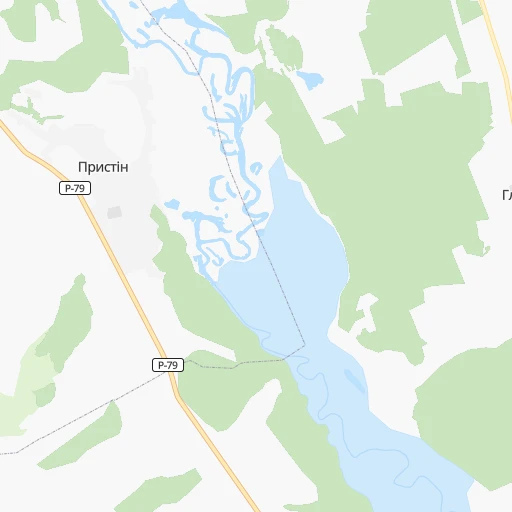
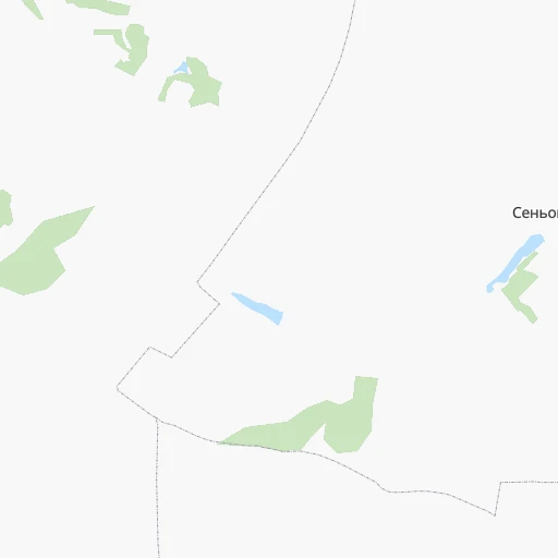
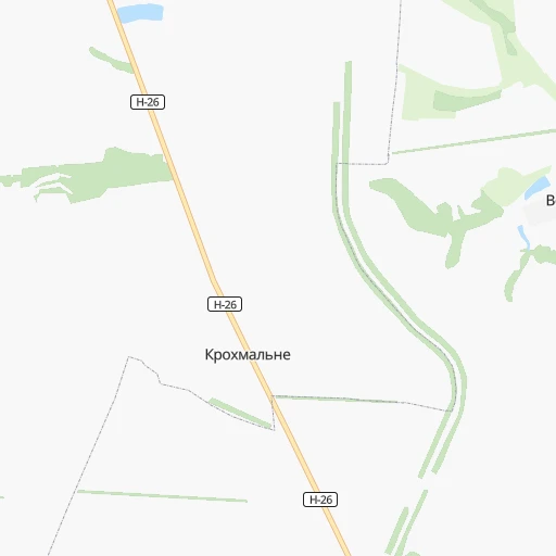
Roadmap (route) to go from Skorosnyy to Sloviansk detailed above, you can also see the course layout on the map.
While doing trip Skorosnyy - Sloviansk by car, the calculated route ends at a distance , or more straight.
Distance and duration of the route between Skorosnyy and Sloviansk
Calculation of distance and route from Sloviansk to Skorosnyy :
77.6100.5 km2h58mn
Continue 0h6mn 1.5 kmKeep left 0h1mn 382 mTurn left 0h1mn 587 mTurn sharp right onto О-211942 0h4mn 3.4 kmContinue onto Р-79 0h5mn 5.5 kmTurn left onto Р-79 0h12mn 12.9 kmTurn left onto Партизанська вулиця 0h3mn 1.8 kmTurn right 0h0mn 249 mTurn left onto О-210516 0h0mn 19 mKeep right onto О-210517 0h8mn 6.7 kmTurn left onto О-210517 0h0mn 351 mTurn right onto О-210517 0h17mn 13.8 kmKeep left onto О0527 0h17mn 14.4 kmKeep right onto Гутченка вулиця 0h16mn 13.2 kmTurn right onto Петропавлівський провулок 0h2mn 2.1 kmTurn sharp left onto Зелений Гай вулиця 0h1mn 1.1 kmTurn left 0h7mn 6.1 kmTurn sharp right onto Добропілля — Красний Лиман 0h12mn 12.0 kmTurn sharp right onto М-03 0h1mn 877 mTurn left onto Героїв Праці вулиця 0h3mn 3.3 kmTurn right 0h0mn 18 mKeep right 0h1mn 171 mArrive at destination 0h0mn 0 m
Travel from Skorosnyy (Donetsk) to a selection of major cities.
Distances from Skorosnyy to biggest cities in Kharkiv
Other major cities in country :
- Zhytomyr [27], 282,192 inhabitants. 651 km
- Horlivka [05], 278,550 inhabitants. 139 km
- Rivne [19], 255,106 inhabitants. 827 km
- Kropyvnytskyi [10], 249,454 inhabitants. 414 km
- Kamianske [04], 248,575 inhabitants. 254 km
- Chernivtsi [03], 236,250 inhabitants. 870 km
- Ternopil [22], 235,676 inhabitants. 873 km
- Kremenchuk [18], 227,494 inhabitants. 315 km
- Lutsk [24], 213,661 inhabitants. 890 km
- Ivano-Frankivsk [06], 204,200 inhabitants. 945 km
- Bila Tserkva [13], 199,163 inhabitants. 547 km
- Kramators'k [05], 173,700 inhabitants. 94 km
- Melitopol [26], 158,000 inhabitants. 348 km
- Kerch [11], 148,932 inhabitants. 478 km
- Nikopol [04], 130,500 inhabitants. 329 km
- Syevyerodonets'k [14], 130,000 inhabitants. 90 km
- Sloviansk [05], 124,800 inhabitants. 78 km
- Berdyansk [26], 118,284 inhabitants. 318 km
- Uzhgorod [25], 117,878 inhabitants. 1,125 km
- Alchevs'k [14], 116,000 inhabitants. 147 km
Route from Sloviansk to major cities (Ukraine).
- Distance Sloviansk Kyiv541 km
- Distance Sloviansk Kharkiv159 km
- Distance Sloviansk Dnipro195 km
- Distance Sloviansk Odessa580 km
- Distance Sloviansk Zaporizhia214 km
- Distance Sloviansk Lviv990 km
- Distance Sloviansk Kryvyi Rih331 km
- Distance Sloviansk Mykolayiv469 km
- Distance Sloviansk Luhansk129 km
- Distance Sloviansk Sevastopol569 km
- Distance Sloviansk Khmelnytskyi775 km
- Distance Sloviansk Vinnytsia667 km
- Distance Sloviansk Simferopol510 km
- Distance Sloviansk Kherson448 km
- Distance Sloviansk Poltava238 km
- Distance Sloviansk Chernihiv538 km
- Distance Sloviansk Cherkasy409 km
- Distance Sloviansk Sumy305 km
- Distance Sloviansk Zhytomyr664 km
- Distance Sloviansk Rivne841 km
Nearest cities to Skorosnyy :
- Kharkiv, 1,430,885 inhabitants. 114 km
- Dnipro, 1,032,822 inhabitants. 230 km
- Donetsk, 1,024,700 inhabitants. 172 km
- Zaporizhia, 796,217 inhabitants. 267 km
- Mariupol, 481,626 inhabitants. 275 km
- Luhansk, 452,000 inhabitants. 162 km
- Makiyivka, 376,610 inhabitants. 170 km
- Sumy, 294,456 inhabitants. 256 km
- Horlivka, 278,550 inhabitants. 139 km
- Kramators'k, 173,700 inhabitants. 94 km
- Melitopol, 158,000 inhabitants. 348 km
- Syevyerodonets'k, 130,000 inhabitants. 90 km
- Sloviansk, 124,800 inhabitants. 78 km
- Berdyansk, 118,284 inhabitants. 318 km
- Alchevs'k, 116,000 inhabitants. 147 km
- Pavlohrad, 115,932 inhabitants. 176 km
- Lysychans'k, 111,600 inhabitants. 91 km
- Yenakiyeve, 104,101 inhabitants. 153 km
- Kostyantynivka, 91,259 inhabitants. 115 km
- Krasnyy Luch, 90,005 inhabitants. 183 km
- Kadiyivka, 84,425 inhabitants. 131 km
- Bakhmut, 80,500 inhabitants. 110 km
- Novomoskovs'k, 73,100 inhabitants. 206 km
- Shakhtars'k, 71,700 inhabitants. 176 km
- Pokrovsk, 68,263 inhabitants. 148 km
- Chystyakove, 68,037 inhabitants. 182 km
- Sverdlovs'k, 68,000 inhabitants. 218 km
- Khartsyz'k, 64,000 inhabitants. 172 km
- Rubizhne, 62,993 inhabitants. 79 km
- Druzhkivka, 62,315 inhabitants. 104 km
- Lozova, 62,311 inhabitants. 125 km
- Antratsyt, 61,600 inhabitants. 191 km
- Snizhne, 55,587 inhabitants. 188 km
- Izyum, 53,778 inhabitants. 51 km
- Roven'ky, 53,600 inhabitants. 206 km
- Bryanka, 51,921 inhabitants. 137 km
- Okhtyrka, 49,818 inhabitants. 217 km
- Myrnohrad, 49,646 inhabitants. 144 km
- Sorokyne, 49,352 inhabitants. 206 km
- Toretsk, 41,758 inhabitants. 130 km
- Pervomays'k, 41,480 inhabitants. 121 km
- Kirovs'k, 40,000 inhabitants. 124 km
- Yasynuvata, 37,600 inhabitants. 160 km
- Chuhuyiv, 36,519 inhabitants. 79 km
- Dobropillya, 35,977 inhabitants. 130 km
- Avdiyivka, 35,826 inhabitants. 158 km
- Tokmak, 34,926 inhabitants. 296 km
- Kupjansk, 32,449 inhabitants. 17 km
- Synel'nykove, 31,900 inhabitants. 211 km
- Balakliya, 31,156 inhabitants. 62 km
Location Skorosnyy (Kharkiv) :
| Country flag |  |
| Location | Skorosnyy |
| State | Kharkiv |
| County | |
| Country | Ukraine |
| Country code / ISO 2 | UA |
| Latitude | 49.5630600 |
| Longitude | 37.6965000 |
| Altitude | 0 meters |
| Time zone | Europe/Kiev |
Location Sloviansk (Donetsk) :
| Country flag | |
| Location | Sloviansk |
| State | Donetsk |
| County | |
| Country | Ukraine |
| Country code / ISO 2 | UA |
| Latitude | 48.8666700 |
| Longitude | 37.6166700 |
| Altitude | 0 meters |
| Time zone | Europe/Kiev |
