
How to get from Dongjeomyeok (Gangwon-do) to Wŏnju (Gangwon-do)
Calculate route from Dongjeomyeok (Gangwon-do, South Korea) to Wŏnju (Gangwon-do, South Korea).
The flight distance (as the crow flies) between Dongjeomyeok and Wŏnju is 101.9 km.
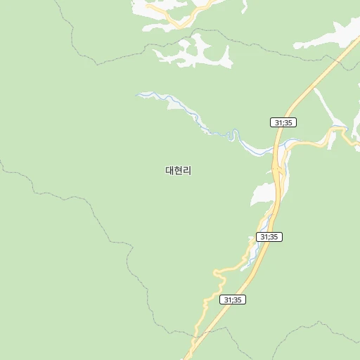
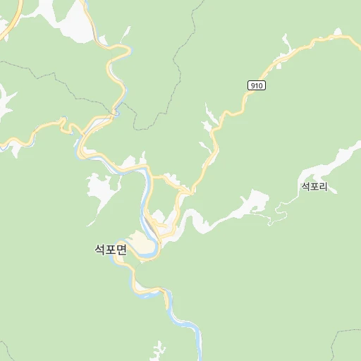
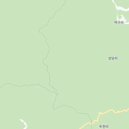
Roadmap (route) to go from Dongjeomyeok to Wŏnju detailed above, you can also see the course layout on the map.
While doing trip Dongjeomyeok - Wŏnju by car, the calculated route ends at a distance , or more straight.
Distance and duration of the route between Dongjeomyeok and Wŏnju
Calculation of distance and route from Wŏnju to Dongjeomyeok :
101.9135.2 km2h13mn
Continue onto 태백로 0h14mn 11.3 kmTurn left onto 태백산로 0h17mn 19.0 kmTurn left onto 태백산로 0h14mn 15.9 kmTurn left onto 태백산로 0h12mn 13.3 kmTurn left onto 영월로 0h0mn 397 mTurn right onto 28 0h0mn 140 mTurn left 0h4mn 4.4 kmKeep left onto 강원남로 0h25mn 29.2 kmKeep right onto 38 0h0mn 259 mTurn right 0h0mn 9 mTurn left 0h0mn 268 mTurn right 0h0mn 348 mTurn sharp left onto 송학로 0h0mn 335 mTurn right onto 도화로 0h2mn 1.7 kmTurn right 0h0mn 51 mTurn right onto 도화로 0h4mn 3.3 kmTurn right onto 의림대로 0h10mn 8.1 kmTurn sharp right 0h2mn 1.5 kmTurn slight left 0h4mn 1.9 kmTurn right onto 제원로14길 0h0mn 27 mTurn slight left onto 연봉정길 0h2mn 879 mTurn sharp right onto 제원로 0h4mn 4.4 kmAt roundabout, take exit 1 onto 치악로 0h11mn 11.7 kmKeep right onto 치악로 0h3mn 2.7 kmKeep right onto 88 0h0mn 167 mTurn slight right onto 치악로 0h3mn 2.6 kmTurn left onto 88 0h0mn 9 mKeep right onto 평원로 0h1mn 713 mTurn left onto 천사로 0h0mn 383 mTurn right onto 갈머리2길 0h0mn 100 mTurn left 0h0mn 14 mArrive at destination 0h0mn 0 m
Travel from Dongjeomyeok (Gangwon-do) to a selection of major cities.
Distances from Dongjeomyeok to biggest cities in Gangwon-do
Other major cities in country :
- Jeju City [01], 408,364 inhabitants. 459 km
- Cheonan [17], 365,114 inhabitants. 171 km
- Kwangmyong [13], 357,545 inhabitants. 198 km
- Kimhae [20], 356,242 inhabitants. 206 km
- Chinju [20], 307,242 inhabitants. 228 km
- Yeosu [16], 295,538 inhabitants. 287 km
- Gumi [14], 291,006 inhabitants. 125 km
- Iksan [03], 283,501 inhabitants. 226 km
- Mokpo [16], 268,402 inhabitants. 348 km
- Gunsan [03], 243,406 inhabitants. 242 km
- Suncheon [16], 230,796 inhabitants. 276 km
- Sejong [22], 230,327 inhabitants. 166 km
- Icheon-si [13], 196,230 inhabitants. 144 km
- Guri-si [13], 195,236 inhabitants. 178 km
- Yangju [13], 179,923 inhabitants. 194 km
- Osan [13], 158,978 inhabitants. 176 km
- Seogwipo [01], 155,691 inhabitants. 483 km
- Gyeongju [14], 155,237 inhabitants. 139 km
- Gimcheon [14], 150,000 inhabitants. 135 km
- Jeongeup [03], 139,876 inhabitants. 252 km
Route from Wŏnju to major cities (South Korea).
- Distance Wŏnju Seoul89 km
- Distance Wŏnju Busan269 km
- Distance Wŏnju Incheon110 km
- Distance Wŏnju Daegu175 km
- Distance Wŏnju Daejeon124 km
- Distance Wŏnju Gwangju261 km
- Distance Wŏnju Suwon83 km
- Distance Wŏnju Goyang-si104 km
- Distance Wŏnju Seongnam-si72 km
- Distance Wŏnju Ulsan236 km
- Distance Wŏnju Bucheon-si104 km
- Distance Wŏnju Jeonju185 km
- Distance Wŏnju Ansan-si99 km
- Distance Wŏnju Cheongju-si89 km
- Distance Wŏnju Anyang-si90 km
- Distance Wŏnju Changwon245 km
- Distance Wŏnju Pohang194 km
- Distance Wŏnju Uijeongbu-si90 km
- Distance Wŏnju Hwaseong-si101 km
- Distance Wŏnju Masan267 km
Nearest cities to Dongjeomyeok :
- Seoul, 10,349,312 inhabitants. 191 km
- Busan, 3,678,555 inhabitants. 221 km
- Incheon, 2,628,000 inhabitants. 211 km
- Daegu, 2,566,540 inhabitants. 141 km
- Daejeon, 1,475,221 inhabitants. 168 km
- Gwangju, 1,416,938 inhabitants. 288 km
- Suwon, 1,242,724 inhabitants. 182 km
- Goyang-si, 1,073,069 inhabitants. 206 km
- Seongnam-si, 1,031,935 inhabitants. 174 km
- Ulsan, 962,865 inhabitants. 174 km
- Bucheon-si, 850,731 inhabitants. 206 km
- Jeonju, 711,424 inhabitants. 220 km
- Ansan-si, 650,728 inhabitants. 199 km
- Cheongju-si, 634,596 inhabitants. 147 km
- Anyang-si, 634,367 inhabitants. 191 km
- Changwon, 550,000 inhabitants. 209 km
- Pohang, 500,000 inhabitants. 121 km
- Uijeongbu-si, 479,141 inhabitants. 191 km
- Hwaseong-si, 476,297 inhabitants. 198 km
- Masan, 434,371 inhabitants. 295 km
- Cheonan, 365,114 inhabitants. 171 km
- Kwangmyong, 357,545 inhabitants. 198 km
- Kimhae, 356,242 inhabitants. 206 km
- Chinju, 307,242 inhabitants. 228 km
- Yeosu, 295,538 inhabitants. 287 km
- Gumi, 291,006 inhabitants. 125 km
- Iksan, 283,501 inhabitants. 226 km
- Mokpo, 268,402 inhabitants. 348 km
- Gunsan, 243,406 inhabitants. 242 km
- Wonju, 243,387 inhabitants. 102 km
- Suncheon, 230,796 inhabitants. 276 km
- Sejong, 230,327 inhabitants. 166 km
- Chuncheon, 209,746 inhabitants. 146 km
- Icheon-si, 196,230 inhabitants. 144 km
- Guri-si, 195,236 inhabitants. 178 km
- Gangneung, 180,611 inhabitants. 76 km
- Yangju, 179,923 inhabitants. 194 km
- Osan, 158,978 inhabitants. 176 km
- Gyeongju, 155,237 inhabitants. 139 km
- Gimcheon, 150,000 inhabitants. 135 km
- Jeongeup, 139,876 inhabitants. 252 km
- Hanam, 134,902 inhabitants. 171 km
- Gyeongsan-si, 129,903 inhabitants. 143 km
- Andong, 129,319 inhabitants. 64 km
- Hwado, 106,358 inhabitants. 166 km
- Tonghae, 101,128 inhabitants. 52 km
- Asan, 97,749 inhabitants. 185 km
- Wabu, 96,775 inhabitants. 171 km
- Namyangju, 90,798 inhabitants. 173 km
- Kwangyang, 89,281 inhabitants. 269 km
Location Dongjeomyeok (Gangwon-do) :
| Country flag |  |
| Location | Dongjeomyeok |
| State | Gangwon-do |
| County | |
| Country | South Korea |
| Country code / ISO 2 | KR |
| Latitude | 37.0837700 |
| Longitude | 129.0461700 |
| Altitude | 0 meters |
| Time zone | Asia/Seoul |
Location Wŏnju (Gangwon-do) :
| Country flag | |
| Location | Wŏnju |
| State | Gangwon-do |
| County | |
| Country | South Korea |
| Country code / ISO 2 | KR |
| Latitude | 37.3513900 |
| Longitude | 127.9452800 |
| Altitude | 0 meters |
| Time zone | Asia/Seoul |


