

How to get from Station Baflo (Groningen) to Utrecht (Utrecht)
Calculate route from Station Baflo (Groningen, Netherlands) to Utrecht (Utrecht, Netherlands).
The flight distance (as the crow flies) between Station Baflo and Utrecht is 169.6 km.
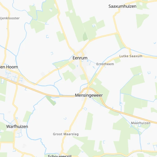
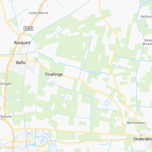
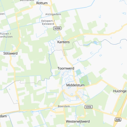
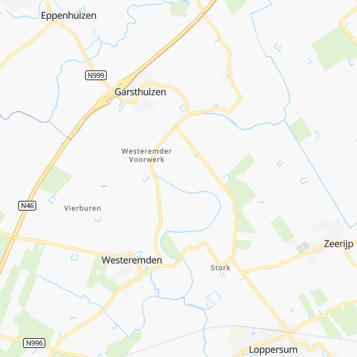
Roadmap (route) to go from Station Baflo to Utrecht detailed above, you can also see the course layout on the map.
While doing trip Station Baflo - Utrecht by car, the calculated route ends at a distance , or more straight.
Distance and duration of the route between Station Baflo and Utrecht
Calculation of distance and route from Utrecht to Station Baflo :
169.6199.2 km3h32mn
Continue 0h0mn 35 mContinue onto Kievit 0h0mn 117 mTurn left onto Tinallingerweg 0h0mn 167 mTurn left onto Willem de Zwijgerstraat 0h0mn 104 mTurn right onto Gebroeders Gootjesstraat 0h1mn 347 mTurn slight left onto Winsumerweg 0h0mn 126 mContinue onto Maarhuizerweg 0h0mn 8 mTurn left onto Winsumerweg 0h2mn 2.2 kmAt roundabout, take exit 3 onto Provincialeweg 0h1mn 1.0 kmAt roundabout, take exit 2 onto Wierdaweg 0h1mn 412 mTurn right onto Schilligeham 0h0mn 96 mTurn left onto Schilligeham 0h2mn 849 mTurn right onto Garnwerderweg 0h4mn 3.2 kmTurn left onto Hunzeweg 0h4mn 3.3 kmKeep right onto Oostumerweg 0h1mn 1.0 kmTurn right onto Oostumerweg 0h1mn 1.1 kmTurn right onto Evert Harm Woltersweg 0h2mn 1.4 kmTurn left onto Albert Harkemaweg 0h0mn 115 mTurn right onto Albert Harkemaweg 0h1mn 359 mTurn left onto Wibrandusstraat 0h1mn 285 mTurn left onto Bosweg 0h0mn 43 mTurn right onto Bosweg 0h1mn 237 mTurn left onto Burgemeester Seinenstraat 0h2mn 956 mTurn right onto Friesestraatweg and drive toward Leeuwarden, Zuidhorn 0h2mn 2.3 kmAt roundabout, take exit 2 onto Provincialeweg 0h4mn 3.7 kmTurn sharp left onto Fanerweg 0h2mn 2.2 kmTurn right onto Dorpsstraat 0h3mn 2.6 kmTurn slight right onto Noorderweg 0h1mn 641 mTurn left onto Oude Postweg 0h1mn 495 mAt roundabout, take exit 2 onto A7 0h2mn 2.9 kmKeep right onto A7 and drive toward Boerakker, Grijpskerk, Grootegast, Niebert 1h30mn 45.6 kmKeep left onto A6 and take A6 toward Amsterdam, Lelystad, Emmeloord 0h15mn 22.0 kmKeep right onto A6 and drive toward Bant 0h3mn 4.4 kmKeep right onto A6 and take N351, N331 toward De Munt, Emmeloord, Marknesse 0h2mn 3.7 kmKeep right onto A6 and drive toward Lelystad, Amsterdam 0h2mn 2.4 kmKeep right onto A6 and drive toward Emmeloord-West 1h30mn 45.4 kmKeep right onto A6 and take RING A6 toward Utrecht, Almere-Hout, Almere-Buiten 0h2mn 2.8 kmKeep left onto A6 and take A27 toward Utrecht, Hilversum, Almere-Hout 0h3mn 4.7 kmKeep right onto A27 and drive toward Almere-Hout 0h20mn 30.4 kmKeep right onto A27 and take N230 toward Utrecht-Noord, Maarssen 0h1mn 1.3 kmKeep left onto Robert Kochplein 0h0mn 62 mContinue onto Darwindreef 0h1mn 562 mContinue onto Eykmanlaan 0h2mn 1.2 kmAt roundabout, take exit 2 onto Blauwkapelseweg 0h1mn 784 mTurn left onto Wittevrouwensingel 0h1mn 336 mTurn right onto Wittevrouwenbrug 0h1mn 501 mTurn left onto Kleine Slachtstraat 0h0mn 44 mTurn right onto Jansveld 0h0mn 82 mTurn left onto Lange Jansstraat 0h0mn 136 mKeep right onto Janskerkhof 0h0mn 53 mTurn slight right onto Korte Jansstraat 0h0mn 189 mTurn right onto Domplein 0h0mn 24 mArrive at destination 0h0mn 0 m
Travel from Station Baflo (Utrecht) to a selection of major cities.
Distances from Station Baflo to biggest cities in Groningen
Other major cities in country :
- Zoetermeer [11], 115,845 inhabitants. 199 km
- Zwolle [15], 111,805 inhabitants. 99 km
- Deventer [15], 97,331 inhabitants. 125 km
- Delft [11], 95,060 inhabitants. 210 km
- Alkmaar [07], 94,853 inhabitants. 144 km
- Heerlen [05], 93,084 inhabitants. 278 km
- Venlo [05], 92,403 inhabitants. 223 km
- Leeuwarden [02], 91,424 inhabitants. 51 km
- Amsterdam-Zuidoost [07], 84,811 inhabitants. 157 km
- Hilversum [07], 83,640 inhabitants. 156 km
- Hengelo [15], 80,809 inhabitants. 123 km
- Amstelveen [07], 79,639 inhabitants. 162 km
- Roosendaal [06], 77,725 inhabitants. 247 km
- Purmerend [07], 76,745 inhabitants. 142 km
- Oss [06], 76,430 inhabitants. 190 km
- Schiedam [11], 75,438 inhabitants. 216 km
- Spijkenisse [11], 74,988 inhabitants. 224 km
- Helmond [06], 74,740 inhabitants. 217 km
- Vlaardingen [11], 73,798 inhabitants. 218 km
- Almelo [15], 72,725 inhabitants. 112 km
Route from Utrecht to major cities (Netherlands).
- Distance Utrecht Amsterdam35 km
- Distance Utrecht Rotterdam48 km
- Distance Utrecht The Hague56 km
- Distance Utrecht Eindhoven76 km
- Distance Utrecht Tilburg60 km
- Distance Utrecht Groningen159 km
- Distance Utrecht Almere Stad32 km
- Distance Utrecht Breda61 km
- Distance Utrecht Nijmegen57 km
- Distance Utrecht Enschede122 km
- Distance Utrecht Haarlem46 km
- Distance Utrecht Arnhem55 km
- Distance Utrecht Zaanstad45 km
- Distance Utrecht Apeldoorn59 km
- Distance Utrecht 's-Hertogenbosch45 km
- Distance Utrecht Hoofddorp38 km
- Distance Utrecht Maastricht144 km
- Distance Utrecht Leiden44 km
- Distance Utrecht Dordrecht44 km
- Distance Utrecht Zoetermeer43 km
Nearest cities to Station Baflo :
- Amsterdam, 741,636 inhabitants. 155 km
- Rotterdam, 598,199 inhabitants. 211 km
- The Hague, 474,292 inhabitants. 207 km
- Utrecht, 290,529 inhabitants. 170 km
- Eindhoven, 209,620 inhabitants. 225 km
- Tilburg, 199,613 inhabitants. 223 km
- Groningen, 181,194 inhabitants. 16 km
- Almere Stad, 176,432 inhabitants. 141 km
- Breda, 167,673 inhabitants. 230 km
- Nijmegen, 158,732 inhabitants. 175 km
- Enschede, 153,655 inhabitants. 130 km
- Haarlem, 147,590 inhabitants. 167 km
- Arnhem, 141,674 inhabitants. 159 km
- Zaanstad, 140,085 inhabitants. 153 km
- Amersfoort, 139,914 inhabitants. 154 km
- Apeldoorn, 136,670 inhabitants. 133 km
- 's-Hertogenbosch, 134,520 inhabitants. 202 km
- Hoofddorp, 132,734 inhabitants. 170 km
- Maastricht, 122,378 inhabitants. 285 km
- Leiden, 119,713 inhabitants. 191 km
- Dordrecht, 119,260 inhabitants. 213 km
- Zoetermeer, 115,845 inhabitants. 199 km
- Zwolle, 111,805 inhabitants. 99 km
- Deventer, 97,331 inhabitants. 125 km
- Delft, 95,060 inhabitants. 210 km
- Alkmaar, 94,853 inhabitants. 144 km
- Heerlen, 93,084 inhabitants. 278 km
- Venlo, 92,403 inhabitants. 223 km
- Leeuwarden, 91,424 inhabitants. 51 km
- Amsterdam-Zuidoost, 84,811 inhabitants. 157 km
- Hilversum, 83,640 inhabitants. 156 km
- Hengelo, 80,809 inhabitants. 123 km
- Amstelveen, 79,639 inhabitants. 162 km
- Roosendaal, 77,725 inhabitants. 247 km
- Purmerend, 76,745 inhabitants. 142 km
- Oss, 76,430 inhabitants. 190 km
- Schiedam, 75,438 inhabitants. 216 km
- Spijkenisse, 74,988 inhabitants. 224 km
- Helmond, 74,740 inhabitants. 217 km
- Vlaardingen, 73,798 inhabitants. 218 km
- Almelo, 72,725 inhabitants. 112 km
- Gouda, 71,952 inhabitants. 193 km
- Zaandam, 71,708 inhabitants. 153 km
- Lelystad, 70,741 inhabitants. 118 km
- Alphen aan den Rijn, 70,251 inhabitants. 186 km
- Hoorn, 68,852 inhabitants. 126 km
- Velsen-Zuid, 67,758 inhabitants. 161 km
- Ede, 67,670 inhabitants. 159 km
- Bergen op Zoom, 66,256 inhabitants. 257 km
- Capelle aan den IJssel, 65,255 inhabitants. 206 km
Location Station Baflo (Groningen) :
| Country flag |  |
| Location | Station Baflo |
| State | Groningen |
| County | Gemeente Winsum |
| Country | Netherlands |
| Country code / ISO 2 | NL |
| Latitude | 53.3612300 |
| Longitude | 6.5188000 |
| Altitude | 0 meters |
| Time zone | Europe/Amsterdam |
Location Utrecht (Utrecht) :
| Country flag | |
| Location | Utrecht |
| State | Utrecht |
| County | Gemeente Utrecht |
| Country | Netherlands |
| Country code / ISO 2 | NL |
| Latitude | 52.0908300 |
| Longitude | 5.1222200 |
| Altitude | 0 meters |
| Time zone | Europe/Amsterdam |


