


How to get from Kintaus (Central Finland) to Sipoo (Uusimaa)
Calculate route from Kintaus (Central Finland, Finland) to Sipoo (Uusimaa, Finland).
The flight distance (as the crow flies) between Kintaus and Sipoo is 209.9 km.
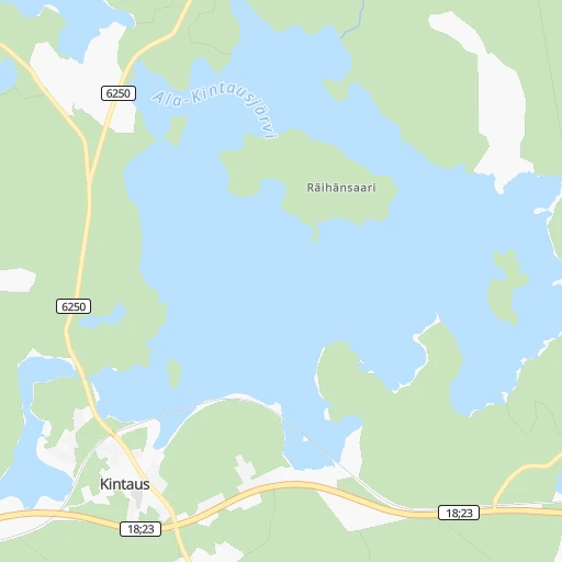
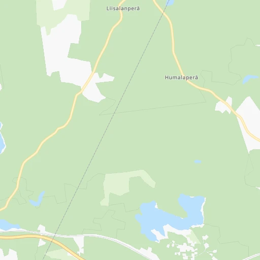
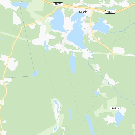
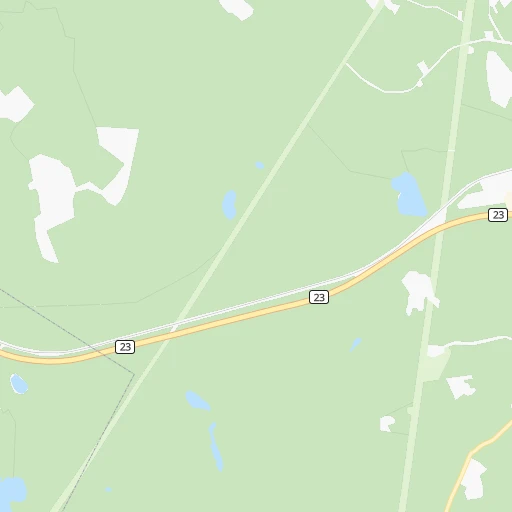
Roadmap (route) to go from Kintaus to Sipoo detailed above, you can also see the course layout on the map.
While doing trip Kintaus - Sipoo by car, the calculated route ends at a distance , or more straight.
Distance and duration of the route between Kintaus and Sipoo
Calculation of distance and route from Sipoo to Kintaus :
209.9256.3 km3h26mn
Continue 0h3mn 696 mTurn right onto Pajulantie 0h1mn 586 mTurn left onto Petäjävedentie 0h6mn 7.0 kmAt roundabout, take exit 2 onto Petäjävedentie 0h1mn 1.3 kmTurn left onto Kelantie and drive toward Jämsä, Jämsänkoski, Korpilahti 0h3mn 2.7 kmKeep right onto Kukkarontie 1h36mn 35.9 kmAt roundabout, take exit 2 onto Jämsäntie 0h8mn 6.4 kmAt roundabout, take exit 1 onto Siltakatu 0h1mn 545 mAt roundabout, take exit 3 onto Pääskysmäentie 0h0mn 330 mAt roundabout, take exit 2 onto Kauhkialantie 0h1mn 461 mAt roundabout, take exit 2 onto Kauhkialantie 0h1mn 888 mAt roundabout, take exit 2 onto Lahdentie 1h26mn 112.2 kmAt roundabout, take exit 2 onto Lahdenkatu 0h3mn 2.4 kmKeep left onto Lahdenkatu 0h0mn 108 mTurn slight left onto Vesijärvenkatu 0h8mn 6.4 kmContinue onto Uusi Orimattilantie and take 167 toward Helsinki, Jyväskylä, Mikkeli, Orimattila 0h0mn 419 mKeep right and take 4 toward Helsinki 1h38mn 68.2 kmKeep right and take 148 toward Tuusula, Kerava, Sipoo 0h1mn 556 mTurn left onto Keravantie and take 148 toward Sipoo 0h7mn 7.1 kmTurn sharp left 0h0mn 215 mTurn left onto Nikkiläntie 0h1mn 830 mAt roundabout, take exit 2 onto Nikkiläntie 0h2mn 1.1 kmAt roundabout, take exit 3 onto Iso Kylätie 0h0mn 91 mTurn slight right onto Iso Kylätie 0h0mn 46 mArrive at destination 0h0mn 0 m
Travel from Kintaus (Uusimaa) to a selection of major cities.
Distances from Kintaus to biggest cities in Central Finland
Other major cities in country :
Route from Sipoo to major cities (Finland).
- Distance Sipoo Tampere148 km
- Distance Sipoo Turku165 km
- Distance Sipoo Oulu516 km
- Distance Sipoo Lahti71 km
- Distance Sipoo Kuopio308 km
- Distance Sipoo Jyvaeskylae209 km
- Distance Sipoo Pori225 km
- Distance Sipoo Lappeenranta176 km
- Distance Sipoo Vaasa359 km
- Distance Sipoo Kotka93 km
- Distance Sipoo Joensuu344 km
Nearest cities to Kintaus :
- Helsinki, 558,457 inhabitants. 234 km
- Espoo, 256,760 inhabitants. 232 km
- Tampere, 202,687 inhabitants. 117 km
- Vantaa, 190,058 inhabitants. 220 km
- Oulu, 128,618 inhabitants. 306 km
- Lahti, 98,826 inhabitants. 144 km
- Kuopio, 89,104 inhabitants. 140 km
- Jyvaeskylae, 85,026 inhabitants. 21 km
- Lappeenranta, 59,276 inhabitants. 203 km
- Kotka, 54,616 inhabitants. 218 km
- Haemeenlinna, 47,261 inhabitants. 148 km
- Porvoo, 47,192 inhabitants. 209 km
- Mikkeli, 46,550 inhabitants. 121 km
- Hyvinge, 43,515 inhabitants. 183 km
- Jaervenpaeae, 38,148 inhabitants. 200 km
- Nurmijaervi, 37,073 inhabitants. 202 km
- Mellunkylae, 36,360 inhabitants. 227 km
- Lohja, 35,960 inhabitants. 234 km
- Vuosaari, 35,826 inhabitants. 229 km
- Kokkola, 35,586 inhabitants. 207 km
- Kajaani, 35,375 inhabitants. 249 km
- Tuusula, 34,725 inhabitants. 208 km
- Kirkkonummi, 32,920 inhabitants. 243 km
- Seinaejoki, 32,149 inhabitants. 141 km
- Kerava, 31,347 inhabitants. 208 km
- Kouvola, 31,133 inhabitants. 172 km
- Nokia, 28,676 inhabitants. 130 km
- Kallio, 27,051 inhabitants. 233 km
- Riihimaeki, 26,451 inhabitants. 173 km
- Kaarela, 26,414 inhabitants. 226 km
- Vihti, 26,280 inhabitants. 213 km
- Salo, 24,900 inhabitants. 240 km
- Kangasala, 24,291 inhabitants. 111 km
- Karhula, 22,867 inhabitants. 212 km
- Iisalmi, 22,588 inhabitants. 172 km
- Varkaus, 22,365 inhabitants. 132 km
- Raahe, 22,217 inhabitants. 272 km
- Yloejaervi, 22,140 inhabitants. 120 km
- Hamina, 21,712 inhabitants. 214 km
- Kaarina, 21,684 inhabitants. 260 km
- Heinola, 20,849 inhabitants. 124 km
- Hollola, 20,405 inhabitants. 136 km
- Valkeakoski, 20,376 inhabitants. 131 km
- Siilinjaervi, 20,209 inhabitants. 151 km
- Lauttasaari, 20,000 inhabitants. 236 km
- Sibbo, 19,430 inhabitants. 210 km
- Jakobstad, 19,238 inhabitants. 205 km
- Lempaeaelae, 18,096 inhabitants. 134 km
- Maentsaelae, 18,074 inhabitants. 182 km
- Forssa, 17,852 inhabitants. 185 km
Location Kintaus (Central Finland) :
| Country flag |  |
| Location | Kintaus |
| State | Central Finland |
| County | Jyväskylä |
| Country | Finland |
| Country code / ISO 2 | FI |
| Latitude | 62.2666700 |
| Longitude | 25.3166700 |
| Altitude | 0 meters |
| Time zone | Europe/Helsinki |
Location Sipoo (Uusimaa) :
| Country flag | |
| Location | Sipoo |
| State | Uusimaa |
| County | Helsinki |
| Country | Finland |
| Country code / ISO 2 | FI |
| Latitude | 60.3775200 |
| Longitude | 25.2690600 |
| Altitude | 0 meters |
| Time zone | Europe/Helsinki |