
How to get from Punkasalmi (Southern Savonia) to Eno (North Karelia)
Calculate route from Punkasalmi (Southern Savonia, Finland) to Eno (North Karelia, Finland).
The flight distance (as the crow flies) between Punkasalmi and Eno is 121.8 km.
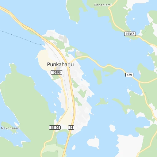
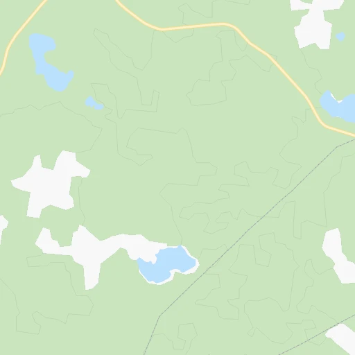
Roadmap (route) to go from Punkasalmi to Eno detailed above, you can also see the course layout on the map.
While doing trip Punkasalmi - Eno by car, the calculated route ends at a distance , or more straight.
Distance and duration of the route between Punkasalmi and Eno
Calculation of distance and route from Eno to Punkasalmi :
121.8156.1 km2h60mn
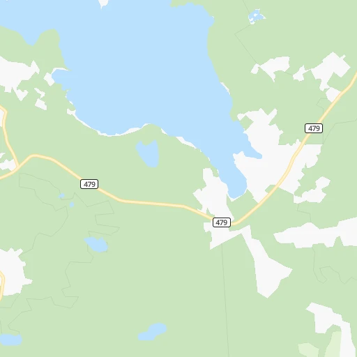
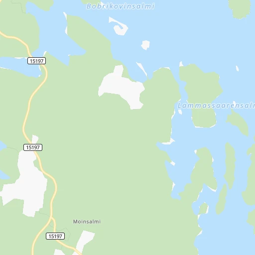
Continue onto Rantaraitti 0h0mn 109 mContinue onto Kouluniementie 0h1mn 292 mTurn sharp left onto Kirkkotie 0h1mn 823 mTurn left onto Kesälahdentie 0h20mn 22.2 kmTurn left onto Lappeenrannantie 1h12mn 100.5 kmKeep right onto 6 and drive toward Joensuu P, Kajaani, Lieksa, Käpykangas 0h0mn 310 mKeep right onto 6 0h9mn 12.0 kmKeep right 0h0mn 437 mTurn right onto Lieksantie 0h15mn 19.0 kmTurn right onto Enontie 0h1mn 389 mArrive at destination 0h0mn 0 m
Travel from Punkasalmi (North Karelia) to a selection of major cities.
Distances from Punkasalmi to biggest cities in Southern Savonia
Other major cities in country :
Route from Eno to major cities (Finland).
- Distance Eno Helsinki403 km
- Distance Eno Espoo411 km
- Distance Eno Tampere361 km
- Distance Eno Vantaa389 km
- Distance Eno Turku492 km
- Distance Eno Oulu336 km
- Distance Eno Lahti311 km
- Distance Eno Kuopio126 km
- Distance Eno Jyvaeskylae236 km
- Distance Eno Pori459 km
- Distance Eno Lappeenranta220 km
- Distance Eno Vaasa433 km
- Distance Eno Kotka311 km
Nearest cities to Punkasalmi :
- Kuopio, 89,104 inhabitants. 154 km
- Lappeenranta, 59,276 inhabitants. 102 km
- Kotka, 54,616 inhabitants. 196 km
- Joensuu, 53,388 inhabitants. 95 km
- Mikkeli, 46,550 inhabitants. 113 km
- Kajaani, 35,375 inhabitants. 287 km
- Kouvola, 31,133 inhabitants. 176 km
- Imatra, 29,615 inhabitants. 75 km
- Savonlinna, 27,353 inhabitants. 30 km
- Karhula, 22,867 inhabitants. 192 km
- Iisalmi, 22,588 inhabitants. 229 km
- Varkaus, 22,365 inhabitants. 100 km
- Hamina, 21,712 inhabitants. 178 km
- Siilinjaervi, 20,209 inhabitants. 172 km
- Anjala, 16,779 inhabitants. 183 km
- Lieksa, 13,703 inhabitants. 175 km
- Kontiolahti, 12,411 inhabitants. 113 km
- Pieksaemaeki, 12,167 inhabitants. 132 km
- Liperi, 11,386 inhabitants. 85 km
- Leppaevirta, 10,936 inhabitants. 116 km
- Joutseno, 10,603 inhabitants. 86 km
- Sotkamo, 10,368 inhabitants. 268 km
- Kuhmo, 10,214 inhabitants. 264 km
- Kitee, 9,777 inhabitants. 54 km
- Kiuruvesi, 9,730 inhabitants. 253 km
- Nurmes, 8,804 inhabitants. 198 km
- Elimaeki, 8,751 inhabitants. 196 km
- Outokumpu, 7,738 inhabitants. 109 km
- Suonenjoki, 7,568 inhabitants. 151 km
- Lapinlahti, 7,350 inhabitants. 206 km
- Pyhaeselkae, 7,210 inhabitants. 80 km
- Juva, 7,165 inhabitants. 83 km
- Eno, 6,891 inhabitants. 122 km
- Maentyharju, 6,871 inhabitants. 139 km
- Nilsiae, 6,474 inhabitants. 174 km
- Ilomantsi, 6,408 inhabitants. 128 km
- Kangasniemi, 6,211 inhabitants. 147 km
- Vuokatti, 6,183 inhabitants. 271 km
- Juuka, 6,035 inhabitants. 163 km
- Kerimaeki, 5,841 inhabitants. 17 km
- Ruokolahti, 5,780 inhabitants. 62 km
- Joroinen, 5,536 inhabitants. 94 km
- Pielavesi, 5,521 inhabitants. 213 km
- Juankoski, 5,514 inhabitants. 154 km
- Hankasalmi, 5,372 inhabitants. 169 km
- Luumaeki, 5,305 inhabitants. 135 km
- Ristiina, 5,171 inhabitants. 118 km
- Pyhtaeae, 4,964 inhabitants. 209 km
- Polvijaervi, 4,937 inhabitants. 121 km
- Tohmajaervi, 4,911 inhabitants. 69 km
Location Punkasalmi (Southern Savonia) :
| Country flag |  |
| Location | Punkasalmi |
| State | Southern Savonia |
| County | Savonlinna |
| Country | Finland |
| Country code / ISO 2 | FI |
| Latitude | 61.7666700 |
| Longitude | 29.4000000 |
| Altitude | 0 meters |
| Time zone | Europe/Helsinki |
Location Eno (North Karelia) :
| Country flag | |
| Location | Eno |
| State | North Karelia |
| County | Joensuu |
| Country | Finland |
| Country code / ISO 2 | FI |
| Latitude | 62.8051100 |
| Longitude | 30.1542200 |
| Altitude | 0 meters |
| Time zone | Europe/Helsinki |
