
How to get from Suolahti (Central Finland) to Sipoo (Uusimaa)
Calculate route from Suolahti (Central Finland, Finland) to Sipoo (Uusimaa, Finland).
The flight distance (as the crow flies) between Suolahti and Sipoo is 245.0 km.
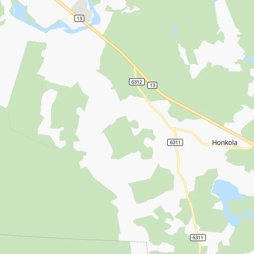
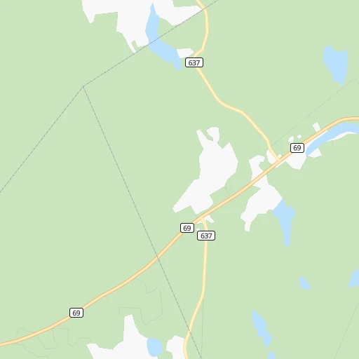
Roadmap (route) to go from Suolahti to Sipoo detailed above, you can also see the course layout on the map.
While doing trip Suolahti - Sipoo by car, the calculated route ends at a distance , or more straight.
Distance and duration of the route between Suolahti and Sipoo
Calculation of distance and route from Sipoo to Suolahti :
245.0283.3 km3h20mn
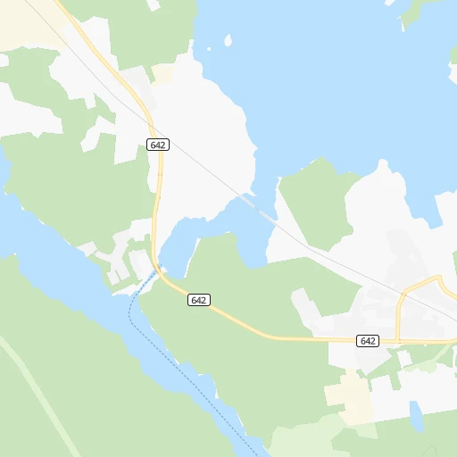
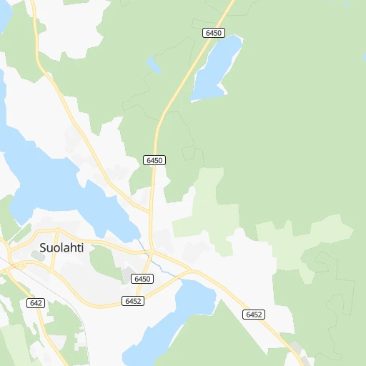
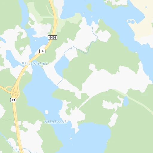
Continue 0h0mn 25 mTurn left onto Lastaajankatu 0h0mn 62 mTurn left onto Asemakatu 0h0mn 114 mAt roundabout, take exit 1 onto Äänekoskentie 0h1mn 591 mTurn left onto Suolahdentie 0h18mn 18.4 kmTurn right 0h0mn 58 mKeep right onto Rokkakankaantie 0h1mn 273 mTurn left onto Kankaanpääntie 0h1mn 835 mTurn left onto Kankaanpääntie 0h1mn 987 mTurn left onto Lemettilänmäentie 0h1mn 437 mTurn right onto Jyväskyläntie 0h8mn 9.2 kmTurn left onto Vaajakoskentie 0h10mn 10.1 kmAt roundabout, take exit 1 onto Leppävedentie 0h0mn 350 mAt roundabout, take exit 3 onto Vaajakoskentie 0h4mn 2.5 kmAt roundabout, take exit 1 onto Viisarinmäenväylä 1h19mn 112.1 kmKeep right onto 4 and take 4 toward Lahti, Heinola, Kouvola 1h5mn 117.4 kmKeep right and take 148 toward Tuusula, Kerava, Sipoo 0h1mn 556 mTurn left onto Keravantie and take 148 toward Sipoo 0h7mn 7.1 kmTurn sharp left 0h0mn 215 mTurn left onto Nikkiläntie 0h1mn 830 mAt roundabout, take exit 2 onto Nikkiläntie 0h2mn 1.1 kmAt roundabout, take exit 3 onto Iso Kylätie 0h0mn 91 mTurn slight right onto Iso Kylätie 0h0mn 46 mArrive at destination 0h0mn 0 m
Travel from Suolahti (Uusimaa) to a selection of major cities.
Distances from Suolahti to biggest cities in Central Finland
Other major cities in country :
Route from Sipoo to major cities (Finland).
- Distance Sipoo Tampere148 km
- Distance Sipoo Turku165 km
- Distance Sipoo Oulu516 km
- Distance Sipoo Lahti71 km
- Distance Sipoo Kuopio308 km
- Distance Sipoo Jyvaeskylae209 km
- Distance Sipoo Pori225 km
- Distance Sipoo Lappeenranta176 km
- Distance Sipoo Vaasa359 km
- Distance Sipoo Kotka93 km
- Distance Sipoo Joensuu344 km
Nearest cities to Suolahti :
- Helsinki, 558,457 inhabitants. 271 km
- Espoo, 256,760 inhabitants. 270 km
- Tampere, 202,687 inhabitants. 160 km
- Vantaa, 190,058 inhabitants. 256 km
- Oulu, 128,618 inhabitants. 273 km
- Lahti, 98,826 inhabitants. 176 km
- Kuopio, 89,104 inhabitants. 100 km
- Jyvaeskylae, 85,026 inhabitants. 37 km
- Lappeenranta, 59,276 inhabitants. 208 km
- Kotka, 54,616 inhabitants. 241 km
- Haemeenlinna, 47,261 inhabitants. 189 km
- Porvoo, 47,192 inhabitants. 242 km
- Mikkeli, 46,550 inhabitants. 122 km
- Hyvinge, 43,515 inhabitants. 221 km
- Jaervenpaeae, 38,148 inhabitants. 236 km
- Nurmijaervi, 37,073 inhabitants. 240 km
- Mellunkylae, 36,360 inhabitants. 263 km
- Lohja, 35,960 inhabitants. 275 km
- Vuosaari, 35,826 inhabitants. 265 km
- Kokkola, 35,586 inhabitants. 197 km
- Kajaani, 35,375 inhabitants. 207 km
- Tuusula, 34,725 inhabitants. 244 km
- Kirkkonummi, 32,920 inhabitants. 282 km
- Kerava, 31,347 inhabitants. 244 km
- Kouvola, 31,133 inhabitants. 194 km
- Imatra, 29,615 inhabitants. 217 km
- Nokia, 28,676 inhabitants. 173 km
- Kallio, 27,051 inhabitants. 269 km
- Riihimaeki, 26,451 inhabitants. 211 km
- Kaarela, 26,414 inhabitants. 263 km
- Vihti, 26,280 inhabitants. 253 km
- Salo, 24,900 inhabitants. 283 km
- Kangasala, 24,291 inhabitants. 154 km
- Karhula, 22,867 inhabitants. 234 km
- Iisalmi, 22,588 inhabitants. 130 km
- Varkaus, 22,365 inhabitants. 108 km
- Raahe, 22,217 inhabitants. 245 km
- Yloejaervi, 22,140 inhabitants. 163 km
- Hamina, 21,712 inhabitants. 233 km
- Heinola, 20,849 inhabitants. 152 km
- Hollola, 20,405 inhabitants. 170 km
- Valkeakoski, 20,376 inhabitants. 173 km
- Siilinjaervi, 20,209 inhabitants. 109 km
- Lauttasaari, 20,000 inhabitants. 273 km
- Sibbo, 19,430 inhabitants. 245 km
- Lempaeaelae, 18,096 inhabitants. 177 km
- Maentsaelae, 18,074 inhabitants. 217 km
- Forssa, 17,852 inhabitants. 228 km
- Munkkiniemi, 17,334 inhabitants. 268 km
- Haukipudas, 17,298 inhabitants. 292 km
Location Suolahti (Central Finland) :
| Country flag |  |
| Location | Suolahti |
| State | Central Finland |
| County | Äänekoski |
| Country | Finland |
| Country code / ISO 2 | FI |
| Latitude | 62.5642100 |
| Longitude | 25.8536300 |
| Altitude | 0 meters |
| Time zone | Europe/Helsinki |
Location Sipoo (Uusimaa) :
| Country flag | |
| Location | Sipoo |
| State | Uusimaa |
| County | Helsinki |
| Country | Finland |
| Country code / ISO 2 | FI |
| Latitude | 60.3775200 |
| Longitude | 25.2690600 |
| Altitude | 0 meters |
| Time zone | Europe/Helsinki |