

How to get from Oita station (Oita) to Hōfu (Yamaguchi)
Calculate route from Oita station (Oita, Japan) to Hōfu (Yamaguchi, Japan).
The flight distance (as the crow flies) between Oita station and Hōfu is 90.9 km.
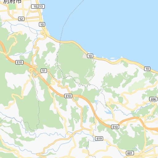
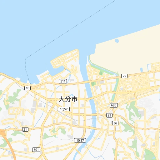
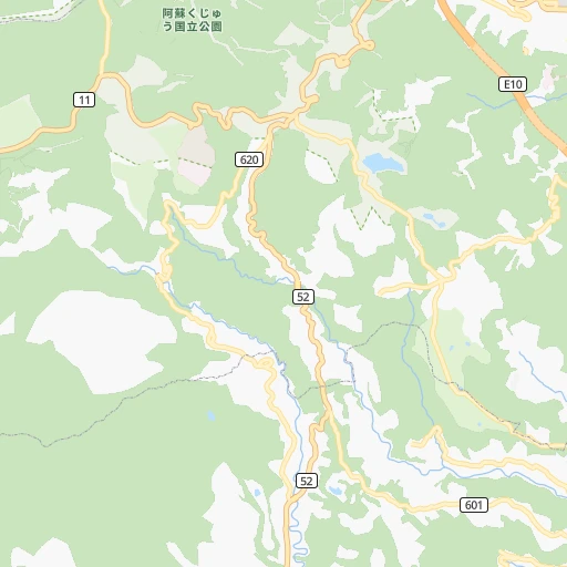
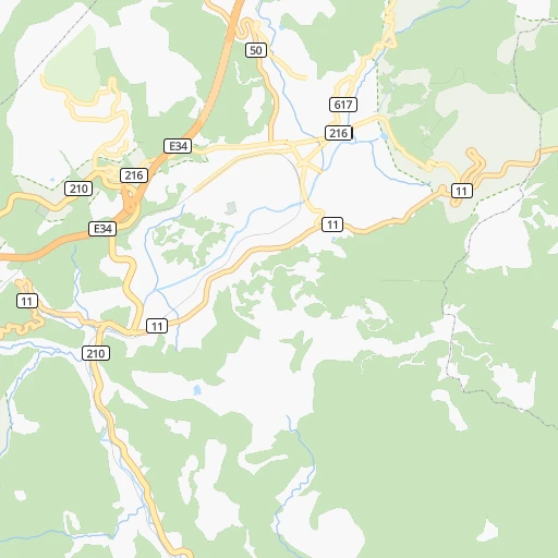
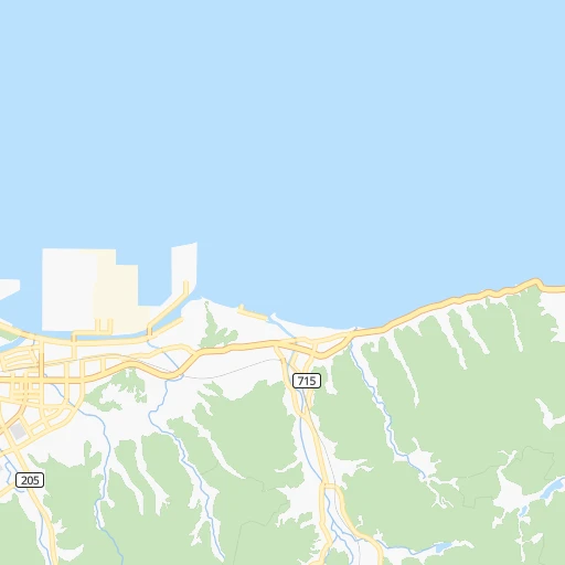
Roadmap (route) to go from Oita station to Hōfu detailed above, you can also see the course layout on the map.
While doing trip Oita station - Hōfu by car, the calculated route ends at a distance , or more straight.
Distance and duration of the route between Oita station and Hōfu
Calculation of distance and route from Hōfu to Oita station :
90.9147.2 km4h15mn
Continue 0h0mn 17 mTurn right 0h0mn 118 mTurn left onto 産業通り 0h26mn 24.2 kmKeep left onto 国道10号 0h9mn 9.6 kmTurn right 0h0mn 191 mTurn slight right onto 山香国見線 0h6mn 6.8 kmTurn left onto 山香国見線 0h3mn 3.2 kmKeep right 0h2mn 1.4 kmTurn right onto 山香国見線 0h15mn 16.3 kmTurn left onto 山香国見線 0h7mn 7.9 kmTurn left onto オレンジロード 0h1mn 839 mTurn right 0h0mn 11 mTurn left onto 国道213号 0h1mn 1.7 kmTurn right onto 竹田津港線 3h38mn 48.0 kmTurn slight left 0h0mn 69 mTurn left 0h0mn 192 mTurn right 0h0mn 128 mTurn left onto 徳山新南陽線 0h1mn 1.0 kmTurn left onto 徳山新南陽線 0h5mn 5.4 kmTurn right 0h0mn 76 mTurn left onto 下松新南陽線 0h2mn 1.8 kmKeep right onto 下松新南陽線 0h0mn 31 mTurn left onto 国道2号 0h8mn 9.7 kmKeep left onto 防府環状線 0h4mn 4.5 kmContinue onto 戒町今宿線 0h3mn 2.4 kmTurn left onto 国分寺鐘紡線 0h0mn 224 mTurn right 0h0mn 375 mContinue onto 三田尻港徳地線 0h0mn 148 mTurn left 0h0mn 321 mTurn right 0h1mn 427 mTurn left 0h0mn 206 mTurn right 0h0mn 90 mArrive at destination 0h0mn 0 m
Travel from Oita station (Yamaguchi) to a selection of major cities.
Distances from Oita station to biggest cities in Oita
Other major cities in country :
- Hachioji [40], 579,399 inhabitants. 758 km
- Honcho [04], 560,743 inhabitants. 816 km
- Kagoshima [18], 555,352 inhabitants. 210 km
- Niigata [29], 505,272 inhabitants. 846 km
- Himeji [13], 481,493 inhabitants. 335 km
- Matsudo [04], 470,277 inhabitants. 812 km
- Nishinomiya-hama [13], 468,925 inhabitants. 381 km
- Kawaguchi [34], 468,565 inhabitants. 796 km
- Kanazawa [15], 458,937 inhabitants. 591 km
- Utsunomiya [38], 449,865 inhabitants. 841 km
- Matsuyama [05], 443,322 inhabitants. 127 km
- Amagasaki [13], 442,173 inhabitants. 389 km
- Kurashiki [31], 437,581 inhabitants. 250 km
- Yokosuka [19], 428,992 inhabitants. 776 km
- Nagasaki [27], 410,204 inhabitants. 170 km
- Hirakata [32], 406,331 inhabitants. 412 km
- Machida [40], 399,969 inhabitants. 765 km
- Gifu-shi [09], 397,714 inhabitants. 533 km
- Fujisawa [19], 394,624 inhabitants. 761 km
- Toyonaka [32], 384,459 inhabitants. 396 km
Route from Hōfu to major cities (Japan).
- Distance Hōfu Tokyo764 km
- Distance Hōfu Yokohama755 km
- Distance Hōfu Osaka369 km
- Distance Hōfu Nagoya505 km
- Distance Hōfu Sapporo1,314 km
- Distance Hōfu Kobe340 km
- Distance Hōfu Kyoto399 km
- Distance Hōfu Fukuoka118 km
- Distance Hōfu Kawasaki763 km
- Distance Hōfu Saitama766 km
- Distance Hōfu Hiroshima90 km
- Distance Hōfu Yono763 km
- Distance Hōfu Sendai958 km
- Distance Hōfu Kitakyushu70 km
- Distance Hōfu Chiba800 km
- Distance Hōfu Sakai363 km
- Distance Hōfu Shizuoka634 km
- Distance Hōfu Kumamoto161 km
- Distance Hōfu Okayama228 km
- Distance Hōfu Hamamatsu571 km
Nearest cities to Oita station :
- Fukuoka, 1,392,289 inhabitants. 118 km
- Hiroshima, 1,143,841 inhabitants. 152 km
- Kitakyushu, 997,536 inhabitants. 98 km
- Kumamoto, 680,423 inhabitants. 98 km
- Okayama, 639,652 inhabitants. 267 km
- Kagoshima, 555,352 inhabitants. 210 km
- Oita, 448,907 inhabitants. 1 km
- Matsuyama, 443,322 inhabitants. 127 km
- Kurashiki, 437,581 inhabitants. 250 km
- Nagasaki, 410,204 inhabitants. 170 km
- Fukuyama, 383,298 inhabitants. 214 km
- Kochi, 335,570 inhabitants. 183 km
- Takamatsu, 334,223 inhabitants. 257 km
- Miyazaki, 311,203 inhabitants. 148 km
- Tokushima, 267,345 inhabitants. 290 km
- Shimonoseki, 245,786 inhabitants. 100 km
- Kurume, 238,197 inhabitants. 102 km
- Sasebo, 237,444 inhabitants. 175 km
- Kure, 196,624 inhabitants. 142 km
- Ube, 173,733 inhabitants. 86 km
- Saga, 165,236 inhabitants. 122 km
- Matsue, 156,811 inhabitants. 283 km
- Tottori, 154,098 inhabitants. 349 km
- Yamaguchi, 145,515 inhabitants. 107 km
- Yonago, 141,368 inhabitants. 292 km
- Omuta, 131,974 inhabitants. 110 km
- Miyakonojo, 130,994 inhabitants. 174 km
- Beppu, 125,065 inhabitants. 11 km
- Niihama, 123,059 inhabitants. 177 km
- Nobeoka, 121,949 inhabitants. 73 km
- Hofu, 116,925 inhabitants. 91 km
- Honmachi, 104,341 inhabitants. 124 km
- Iwakuni, 104,004 inhabitants. 118 km
- Tokuyama, 101,133 inhabitants. 93 km
- Chikushino-shi, 100,353 inhabitants. 106 km
- Isahaya, 97,371 inhabitants. 152 km
- Onojo, 94,957 inhabitants. 110 km
- Onomichi, 90,936 inhabitants. 198 km
- Omura, 89,918 inhabitants. 158 km
- Tsuyama, 89,717 inhabitants. 299 km
- Izumo, 89,286 inhabitants. 260 km
- Kanoya, 82,335 inhabitants. 218 km
- Marugame, 82,090 inhabitants. 233 km
- Mihara, 80,387 inhabitants. 189 km
- Karatsu, 78,330 inhabitants. 154 km
- Iizuka, 78,206 inhabitants. 97 km
- Hatsukaichi, 77,341 inhabitants. 141 km
- Tsurusaki, 76,968 inhabitants. 8 km
- Satsumasendai, 73,132 inhabitants. 200 km
- Yukuhashi, 71,277 inhabitants. 80 km
Location Oita station (Oita) :
| Country flag |  |
| Location | Oita station |
| State | Oita |
| County | Ōita-shi |
| Country | Japan |
| Country code / ISO 2 | JP |
| Latitude | 33.2329100 |
| Longitude | 131.6064300 |
| Altitude | 0 meters |
| Time zone | Asia/Tokyo |
Location Hōfu (Yamaguchi) :
| Country flag | |
| Location | Hōfu |
| State | Yamaguchi |
| County | Hofu Shi |
| Country | Japan |
| Country code / ISO 2 | JP |
| Latitude | 34.0500000 |
| Longitude | 131.5666700 |
| Altitude | 0 meters |
| Time zone | Asia/Tokyo |

