
Home
››
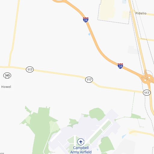
Fort Campbell U. S. Army Airfield
››
Roadmap from Fort Campbell U. S. Army Airfield to Georgetown
How to get from Fort Campbell U. S. Army Airfield (Kentucky) to Georgetown (Kentucky)
Calculate route from Fort Campbell U. S. Army Airfield (Kentucky, United States) to Georgetown (Kentucky, United States).
The flight distance (as the crow flies) between Fort Campbell U. S. Army Airfield and Georgetown is 310.6 km.
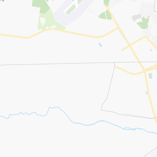
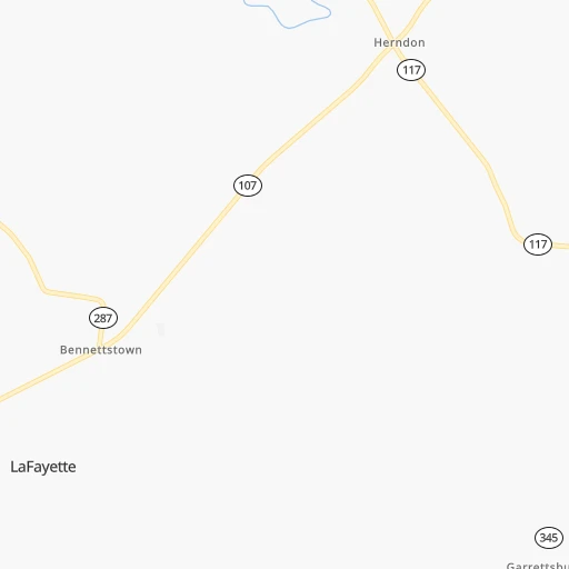
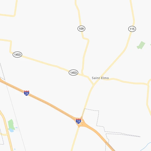
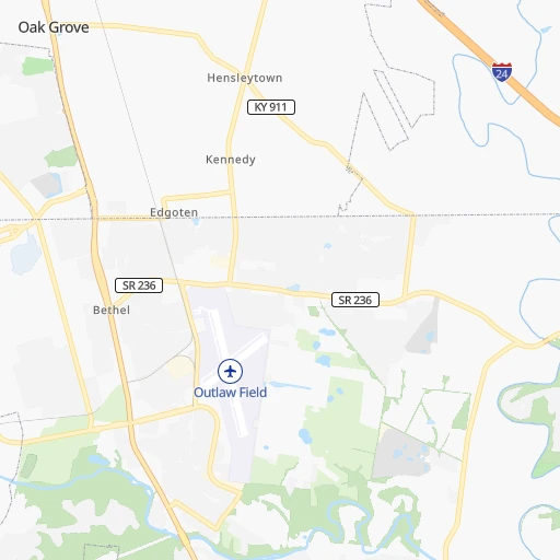
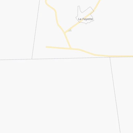
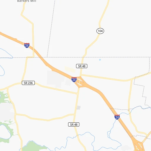
Roadmap (route) to go from Fort Campbell U. S. Army Airfield to Georgetown detailed above, you can also see the course layout on the map.
While doing trip Fort Campbell U. S. Army Airfield - Georgetown by car, the calculated route ends at a distance , or more straight.
Distance and duration of the route between Fort Campbell U. S. Army Airfield and Georgetown
Calculation of distance and route from Georgetown to Fort Campbell U. S. Army Airfield :
310.6372.6 km4h4mn
Continue 0h1mn 273 mTurn left onto Blacksheep Run 0h0mn 261 mTurn right onto B Avenue 0h0mn 178 mTurn left onto 5th Street 0h0mn 122 mTurn right onto C Avenue 0h1mn 683 mTurn sharp right onto Market Garden Road 0h0mn 14 mKeep left onto Wickham Avenue 0h0mn 219 mTurn left onto Glider Road 0h1mn 756 mKeep right onto Morgan Road 0h4mn 1.8 kmTurn left onto Morgan Road 0h3mn 1.3 kmTurn left onto Fort Campbell Boulevard 0h17mn 19.1 kmKeep right 0h26mn 44.1 kmKeep right and drive toward Elizabethtown 2h35mn 158.6 kmKeep right and take I 65 North toward Lexington, Louisville 0h1mn 596 mKeep left and take I 65 North toward Lexington, Louisville 0h2mn 3.1 kmKeep right and drive toward Lexington, Bardstown 1h5mn 109.6 kmKeep right and take KY 33 toward Versailles 0h0mn 472 mKeep left 0h0mn 51 mTurn left onto Troy Pike 0h4mn 4.8 kmTurn left onto Frankfort Road 0h0mn 458 mKeep right onto US 62 0h0mn 136 mContinue onto Midway Road 0h10mn 11.3 kmTurn right onto East Leestown Road 0h0mn 349 mTurn left onto Georgetown Road 0h0mn 84 mKeep right 0h3mn 5.4 kmKeep right and take US 62 East toward Georgetown 0h0mn 561 mKeep left and take US 62 East toward Georgetown 0h0mn 32 mTurn left onto Paynes Depot Road 0h5mn 6.6 kmTurn right onto Frankfort Road 0h2mn 1.8 kmTurn right onto South Court Street 0h0mn 11 mArrive at destination 0h0mn 0 m
Travel from Fort Campbell U. S. Army Airfield (Kentucky) to a selection of major cities.
Distances from Fort Campbell U. S. Army Airfield to biggest cities in Kentucky
- Valley Station,22,756 inhabitants.216 km
- Radcliff,22,387 inhabitants.189 km
- Ashland,21,108 inhabitants.474 km
Other major cities in country :
- Charlotte [NC], 827,097 inhabitants. 621 km
- Seattle [WA], 684,451 inhabitants. 3,090 km
- Denver [CO], 682,545 inhabitants. 1,565 km
- El Paso [TX], 681,124 inhabitants. 1,828 km
- Detroit [MI], 677,116 inhabitants. 737 km
- Boston [MA], 667,137 inhabitants. 1,544 km
- Memphis [TN], 655,770 inhabitants. 286 km
- New South Memphis [TN], 641,608 inhabitants. 290 km
- Portland [OR], 632,309 inhabitants. 3,083 km
- Oklahoma City [OK], 631,346 inhabitants. 911 km
- Las Vegas [NV], 623,747 inhabitants. 2,468 km
- Baltimore [MD], 621,849 inhabitants. 998 km
- Washington, D.C. [DC], 601,723 inhabitants. 952 km
- Milwaukee [WI], 600,155 inhabitants. 710 km
- South Boston [MA], 571,281 inhabitants. 1,544 km
- Albuquerque [NM], 559,121 inhabitants. 1,734 km
- Tucson [AZ], 531,641 inhabitants. 2,201 km
- Nashville [TN], 530,852 inhabitants. 85 km
- Fresno [CA], 520,052 inhabitants. 2,867 km
- Sacramento [CA], 490,712 inhabitants. 2,988 km
Route from Georgetown to major cities (United States).
- Distance Georgetown New York City948 km
- Distance Georgetown Los Angeles3,047 km
- Distance Georgetown Chicago483 km
- Distance Georgetown Brooklyn951 km
- Distance Georgetown Houston1,369 km
- Distance Georgetown Queens961 km
- Distance Georgetown Philadelphia834 km
- Distance Georgetown Phoenix2,529 km
- Distance Georgetown Manhattan953 km
- Distance Georgetown San Antonio1,615 km
- Distance Georgetown San Diego3,003 km
- Distance Georgetown The Bronx963 km
- Distance Georgetown Dallas1,262 km
- Distance Georgetown San Jose3,264 km
- Distance Georgetown Austin1,499 km
- Distance Georgetown Jacksonville917 km
- Distance Georgetown San Francisco3,298 km
- Distance Georgetown Columbus237 km
- Distance Georgetown Fort Worth1,307 km
- Distance Georgetown Indianapolis222 km
Nearest cities to Fort Campbell U. S. Army Airfield :
- Memphis, 655,770 inhabitants. 286 km
- New South Memphis, 641,608 inhabitants. 290 km
- Nashville, 530,852 inhabitants. 85 km
- St. Louis, 315,685 inhabitants. 323 km
- Cincinnati, 296,943 inhabitants. 379 km
- Louisville, 243,639 inhabitants. 234 km
- Huntsville, 190,582 inhabitants. 231 km
- Chattanooga, 176,588 inhabitants. 267 km
- East Chattanooga, 154,024 inhabitants. 270 km
- Clarksville, 149,176 inhabitants. 20 km
- Murfreesboro, 126,118 inhabitants. 135 km
- Evansville, 119,943 inhabitants. 146 km
- Bloomington, 84,067 inhabitants. 291 km
- Franklin, 72,639 inhabitants. 100 km
- Jackson, 66,975 inhabitants. 167 km
- Saint Charles, 65,794 inhabitants. 353 km
- Bowling Green, 63,616 inhabitants. 100 km
- Hamilton, 62,407 inhabitants. 398 km
- Terre Haute, 60,825 inhabitants. 312 km
- Marietta, 59,067 inhabitants. 404 km
- Owensboro, 59,042 inhabitants. 128 km
- Bartlett, 58,579 inhabitants. 269 km
- Smyrna, 56,146 inhabitants. 412 km
- Hendersonville, 56,018 inhabitants. 88 km
- Greenwood, 55,586 inhabitants. 350 km
- Decatur, 55,437 inhabitants. 234 km
- Southaven, 52,589 inhabitants. 294 km
- Florissant, 52,268 inhabitants. 343 km
- Collierville, 48,863 inhabitants. 267 km
- Madison, 46,962 inhabitants. 229 km
- Jeffersonville, 46,960 inhabitants. 237 km
- Columbus, 46,690 inhabitants. 314 km
- Smyrna, 46,607 inhabitants. 116 km
- Cleveland, 43,898 inhabitants. 290 km
- Fairfield, 42,767 inhabitants. 394 km
- Belleville, 42,034 inhabitants. 301 km
- Brentwood, 41,763 inhabitants. 95 km
- Covington, 40,997 inhabitants. 376 km
- Florence, 40,026 inhabitants. 209 km
- Cape Girardeau, 39,462 inhabitants. 193 km
- Germantown, 39,240 inhabitants. 273 km
- Mableton, 37,115 inhabitants. 413 km
- Columbia, 36,800 inhabitants. 124 km
- New Albany, 36,732 inhabitants. 233 km
- Rome, 36,323 inhabitants. 342 km
- Oakville, 36,143 inhabitants. 319 km
- Gadsden, 36,084 inhabitants. 325 km
- Spring Hill, 36,055 inhabitants. 114 km
- Olive Branch, 36,010 inhabitants. 284 km
- East Florence, 35,733 inhabitants. 207 km
Location Fort Campbell U. S. Army Airfield (Kentucky) :
| Country flag |  |
| Location | Fort Campbell U. S. Army Airfield |
| State | Kentucky |
| County | |
| Country | United States |
| Country code / ISO 2 | US |
| Latitude | 36.6685700 |
| Longitude | -87.4961800 |
| Altitude | 174 meters |
| Time zone | America/Chicago |
Location Georgetown (Kentucky) :
| Country flag | |
| Location | Georgetown |
| State | Kentucky |
| County | Scott County |
| Country | United States |
| Country code / ISO 2 | US |
| Latitude | 38.2098000 |
| Longitude | -84.5588300 |
| Altitude | 258 meters |
| Time zone | America/New_York |


