


How to get from Aktobe International (airport) (Aqtöbe) to Oral (Batys Qazaqstan)
Calculate route from Aktobe International (airport) (Aqtöbe, Kazakhstan) to Oral (Batys Qazaqstan, Kazakhstan).
The flight distance (as the crow flies) between Aktobe International (airport) and Oral is 425.0 km.
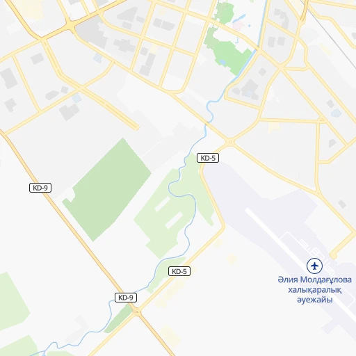
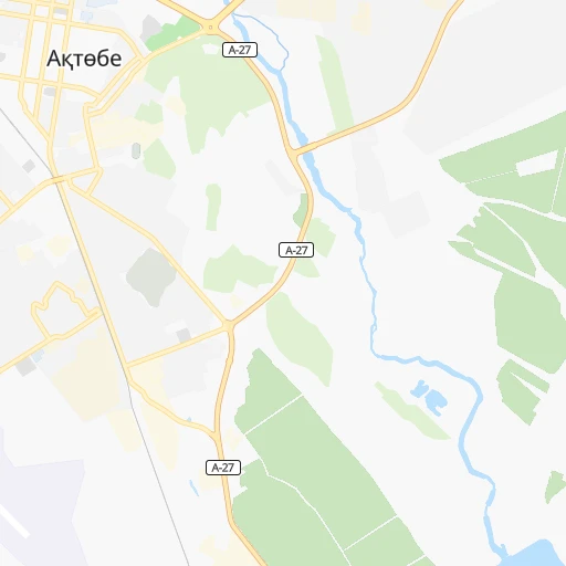
Roadmap (route) to go from Aktobe International Airport to Oral detailed above, you can also see the course layout on the map.
While doing trip Aktobe International (airport) - Oral by car, the calculated route ends at a distance , or more straight.
Distance and duration of the route between Aktobe International (airport) and Oral
Calculation of distance and route from Oral to Aktobe International (airport) :
425.0480.8 km6h53mn
Continue 0h1mn 434 mKeep right 0h0mn 260 mTurn left 0h0mn 40 mTurn slight left onto улица Бокенбай Батыра 0h3mn 2.7 kmAt roundabout, take exit 2 0h3mn 2.6 kmTurn left 0h3mn 2.3 kmTurn right onto Южный обход 0h5mn 5.4 kmAt roundabout, take exit 3 onto M-32 1h2mn 102.6 kmTurn left onto Курманова улица 0h0mn 300 mTurn right onto M-32 4h28mn 358.0 kmTurn sharp left 0h1mn 756 mTurn left onto улица Юрия Гагарина 0h1mn 1.1 kmKeep right 0h0mn 132 mTurn left onto улица Алексея Черекаева 0h1mn 1.3 kmTurn left onto улица Ивана Куличева 0h0mn 254 mTurn right onto Әлия Молдағұлова көшесі 0h1mn 269 mTurn right onto Герольд Бельгер көшесі 0h1mn 720 mTurn left onto улица Дмитрия Карбышева 0h2mn 1.5 kmTurn right onto улица Шалкыма 0h0mn 101 mTurn left onto улица Георгия Наумова 0h0mn 45 mArrive at destination 0h0mn 0 m
Travel from Aktobe International (airport) (Batys Qazaqstan) to a selection of major cities.
Distances from Aktobe International Airport to biggest cities in Aqtöbe
Other major cities in country :
- Zhezqazghan [12], 104,357 inhabitants. 817 km
- Zhanaozen [09], 103,598 inhabitants. 837 km
- Turkestan [10], 97,360 inhabitants. 1,141 km
- Balqash [12], 81,364 inhabitants. 1,361 km
- Sarkand [01], 76,919 inhabitants. 1,772 km
- Baikonur [08], 70,000 inhabitants. 687 km
- Kentau [10], 57,408 inhabitants. 1,138 km
- Ridder [15], 52,664 inhabitants. 1,861 km
- Qulsary [06], 51,216 inhabitants. 435 km
Route from Oral to major cities (Kazakhstan).
- Distance Oral Almaty2,112 km
- Distance Oral Karagandy1,541 km
- Distance Oral Shymkent1,702 km
- Distance Oral Taraz1,769 km
- Distance Oral Astana1,396 km
- Distance Oral Pavlodar1,759 km
- Distance Oral Ust-Kamenogorsk2,195 km
- Distance Oral Kyzyl-Orda1,266 km
- Distance Oral Kyzylorda1,266 km
- Distance Oral Semey2,021 km
- Distance Oral Aktobe425 km
- Distance Oral Kostanay863 km
- Distance Oral Petropavl1,253 km
- Distance Oral Atyrau460 km
- Distance Oral Temirtau1,525 km
- Distance Oral Aktau844 km
- Distance Oral Kokshetau1,246 km
- Distance Oral Rudnyy825 km
- Distance Oral Ekibastuz1,654 km
- Distance Oral Taldykorgan2,109 km
Nearest cities to Aktobe International (airport) :
- Aktobe, 262,457 inhabitants. 4 km
- Kandyagash, 28,196 inhabitants. 88 km
- Shalqar, 27,399 inhabitants. 320 km
- Khromtau, 23,715 inhabitants. 88 km
- Embi, 18,760 inhabitants. 172 km
- Shubarkuduk, 11,733 inhabitants. 133 km
- Shubarshi, 8,651 inhabitants. 185 km
- Martuk, 7,756 inhabitants. 75 km
- Bayganin, 7,657 inhabitants. 198 km
- Batamshinskiy, 5,668 inhabitants. 84 km
Location Aktobe International (airport) (Aqtöbe) :
| Country flag |  |
| Location | Aktobe International (airport) |
| State | Aqtöbe |
| County | Aqtöbe Qalasy |
| Country | Kazakhstan |
| Country code / ISO 2 | KZ |
| Latitude | 50.2458300 |
| Longitude | 57.2066700 |
| Altitude | 224 meters |
| Time zone | Asia/Aqtobe |
Location Oral (Batys Qazaqstan) :
| Country flag | |
| Location | Oral |
| State | Batys Qazaqstan |
| County | |
| Country | Kazakhstan |
| Country code / ISO 2 | KZ |
| Latitude | 51.2333300 |
| Longitude | 51.3666700 |
| Altitude | 0 meters |
| Time zone | Asia/Oral |


