

Home
››
Jacksonville, New River, Marine Corps Air Station
››
Roadmap from Jacksonville, New River, Marine Corps Air Station to Asheboro
How to get from Jacksonville, New River, Marine Corps Air Station (North Carolina) to Asheboro (North Carolina)
Calculate route from Jacksonville, New River, Marine Corps Air Station (North Carolina, United States) to Asheboro (North Carolina, United States).
The flight distance (as the crow flies) between Jacksonville, New River, Marine Corps Air Station and Asheboro is 242.5 km.
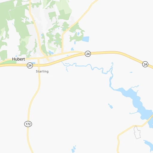
Roadmap (route) to go from Jacksonville, New River, Marine Corps Air Station to Asheboro detailed above, you can also see the course layout on the map.
While doing trip Jacksonville, New River, Marine Corps Air Station - Asheboro by car, the calculated route ends at a distance , or more straight.
Distance and duration of the route between Jacksonville, New River, Marine Corps Air Station and Asheboro
Calculation of distance and route from Asheboro to Jacksonville, New River, Marine Corps Air Station :
242.5280.1 km4h43mn
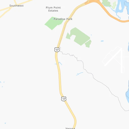
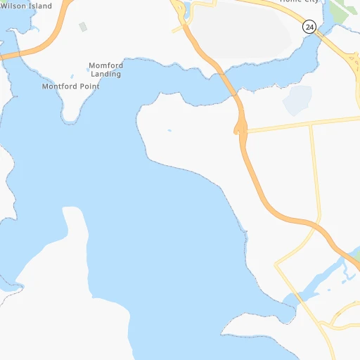
Continue 0h1mn 546 mTurn right onto Perimeter Street 0h4mn 2.2 kmTurn left onto Schmidt Street 0h0mn 211 mContinue onto Douglas Road 0h4mn 1.9 kmKeep right 0h3mn 3.7 kmTurn left 0h2mn 1.9 kmTurn slight right onto Richlands Highway 0h13mn 16.8 kmTurn left onto Koonce Fork Road 0h4mn 5.1 kmTurn left onto Beulaville Highway 0h26mn 33.2 kmContinue onto NC 24 Business 0h2mn 1.7 kmTurn left onto North Main Street 0h1mn 963 mKeep right onto NC 24 Business, NC 50 0h0mn 89 mContinue onto Mallard Street 0h9mn 11.3 kmKeep left onto East College Street 0h6mn 4.8 kmTurn right 0h22mn 37.3 kmKeep right and take NC 50, NC 55 toward Newton Grove 0h0mn 409 mKeep left toward NC 50, NC 55 0h0mn 35 mTurn left onto Harnett-Dunn Highway 0h16mn 21.6 kmTurn right 0h1mn 576 mTurn right 0h21mn 24.4 kmTurn left onto North Main Street 0h2mn 1.9 kmTurn right onto South 10th Street 0h1mn 820 mTurn right onto West Front Street 0h21mn 27.8 kmTurn right onto US 421 0h28mn 41.5 kmKeep right 0h0mn 379 mTurn left onto Sam Fields Road 0h4mn 4.2 kmKeep left onto South Chatham Avenue 0h1mn 1.1 kmTurn left onto West 3rd Street 0h5mn 5.5 kmTurn left onto US 64 0h18mn 22.2 kmKeep left onto Richard K. Pugh Highway and take US 64 Business West, NC 49 South toward Asheboro 0h2mn 2.9 kmTurn right onto East Salisbury Street 0h4mn 3.2 kmTurn right onto North Fayetteville Street 0h0mn 16 mArrive at destination 0h0mn 0 m
Travel from Jacksonville, New River, Marine Corps Air Station (North Carolina) to a selection of major cities.
Distances from Jacksonville, New River, Marine Corps Air Station to biggest cities in North Carolina
- Kannapolis,46,144 inhabitants.302 km
- Apex,45,585 inhabitants.172 km
- Hickory,40,374 inhabitants.373 km
- Wake Forest,38,199 inhabitants.172 km
- Indian Trail,37,073 inhabitants.298 km
- Mooresville,36,009 inhabitants.322 km
- Goldsboro,35,826 inhabitants.91 km
- Monroe,34,623 inhabitants.286 km
- Salisbury,34,017 inhabitants.296 km
- Holly Springs,31,377 inhabitants.165 km
- Matthews,30,678 inhabitants.303 km
- New Bern,30,070 inhabitants.57 km
- Fort Bragg,29,183 inhabitants.151 km
- Sanford,29,144 inhabitants.180 km
- Cornelius,28,092 inhabitants.323 km
- Garner,28,053 inhabitants.155 km
- Thomasville,27,061 inhabitants.273 km
- Statesville,26,221 inhabitants.335 km
- Asheboro,26,103 inhabitants.243 km
- Mint Hill,25,627 inhabitants.297 km
Other major cities in country :
- Seattle [WA], 684,451 inhabitants. 3,962 km
- Denver [CO], 682,545 inhabitants. 2,494 km
- El Paso [TX], 681,124 inhabitants. 2,715 km
- Detroit [MI], 677,116 inhabitants. 978 km
- Boston [MA], 667,137 inhabitants. 1,016 km
- Memphis [TN], 655,770 inhabitants. 1,151 km
- New South Memphis [TN], 641,608 inhabitants. 1,152 km
- Portland [OR], 632,309 inhabitants. 3,977 km
- Oklahoma City [OK], 631,346 inhabitants. 1,828 km
- Las Vegas [NV], 623,747 inhabitants. 3,401 km
- Baltimore [MD], 621,849 inhabitants. 515 km
- Washington, D.C. [DC], 601,723 inhabitants. 467 km
- Milwaukee [WI], 600,155 inhabitants. 1,295 km
- South Boston [MA], 571,281 inhabitants. 1,014 km
- Albuquerque [NM], 559,121 inhabitants. 2,658 km
- Tucson [AZ], 531,641 inhabitants. 3,108 km
- Nashville [TN], 530,852 inhabitants. 863 km
- Fresno [CA], 520,052 inhabitants. 3,801 km
- Sacramento [CA], 490,712 inhabitants. 3,921 km
- Kansas City [MO], 475,378 inhabitants. 1,599 km
Route from Asheboro to major cities (United States).
- Distance Asheboro New York City754 km
- Distance Asheboro Los Angeles3,492 km
- Distance Asheboro Chicago964 km
- Distance Asheboro Brooklyn752 km
- Distance Asheboro Houston1,597 km
- Distance Asheboro Queens761 km
- Distance Asheboro Philadelphia625 km
- Distance Asheboro Phoenix2,954 km
- Distance Asheboro Manhattan762 km
- Distance Asheboro San Antonio1,883 km
- Distance Asheboro San Diego3,434 km
- Distance Asheboro The Bronx773 km
- Distance Asheboro Dallas1,595 km
- Distance Asheboro San Jose3,738 km
- Distance Asheboro Austin1,777 km
- Distance Asheboro Jacksonville623 km
- Distance Asheboro San Francisco3,775 km
- Distance Asheboro Columbus550 km
- Distance Asheboro Fort Worth1,643 km
- Distance Asheboro Indianapolis718 km
Nearest cities to Jacksonville, New River, Marine Corps Air Station :
- Virginia Beach, 452,745 inhabitants. 273 km
- Raleigh, 451,066 inhabitants. 161 km
- West Raleigh, 338,759 inhabitants. 164 km
- Greensboro, 285,342 inhabitants. 262 km
- Durham, 257,636 inhabitants. 195 km
- Norfolk, 246,393 inhabitants. 260 km
- Winston-Salem, 241,218 inhabitants. 298 km
- Chesapeake, 235,429 inhabitants. 257 km
- Richmond, 220,289 inhabitants. 317 km
- Fayetteville, 201,963 inhabitants. 137 km
- Newport News, 182,385 inhabitants. 278 km
- Cary, 159,769 inhabitants. 171 km
- East Hampton, 147,993 inhabitants. 278 km
- Hampton, 136,454 inhabitants. 277 km
- Charleston, 132,609 inhabitants. 315 km
- Wilmington, 115,933 inhabitants. 71 km
- High Point, 110,268 inhabitants. 271 km
- North Charleston, 108,304 inhabitants. 312 km
- Roanoke, 99,897 inhabitants. 363 km
- Portsmouth Heights, 99,049 inhabitants. 254 km
- Portsmouth, 96,201 inhabitants. 258 km
- Greenville, 90,597 inhabitants. 101 km
- Suffolk, 88,161 inhabitants. 238 km
- Mount Pleasant, 81,317 inhabitants. 309 km
- South Suffolk, 80,690 inhabitants. 236 km
- Lynchburg, 79,812 inhabitants. 338 km
- Jacksonville, 67,357 inhabitants. 5 km
- West Lynchburg, 65,517 inhabitants. 338 km
- Chapel Hill, 59,568 inhabitants. 199 km
- Rocky Mount, 55,806 inhabitants. 141 km
- Burlington, 52,472 inhabitants. 238 km
- Wilson, 49,643 inhabitants. 121 km
- Summerville, 48,848 inhabitants. 315 km
- Apex, 45,585 inhabitants. 172 km
- Tuckahoe, 44,990 inhabitants. 321 km
- Blacksburg, 44,215 inhabitants. 388 km
- Danville, 42,082 inhabitants. 274 km
- Sumter, 40,816 inhabitants. 281 km
- Goose Creek, 40,633 inhabitants. 307 km
- Florence, 38,228 inhabitants. 221 km
- Wake Forest, 38,199 inhabitants. 172 km
- Mechanicsville, 36,348 inhabitants. 323 km
- Goldsboro, 35,826 inhabitants. 91 km
- Petersburg, 32,477 inhabitants. 280 km
- Holly Springs, 31,377 inhabitants. 165 km
- Myrtle Beach, 31,035 inhabitants. 175 km
- New Bern, 30,070 inhabitants. 57 km
- Fort Bragg, 29,183 inhabitants. 151 km
- Sanford, 29,144 inhabitants. 180 km
- Garner, 28,053 inhabitants. 155 km
Location Jacksonville, New River, Marine Corps Air Station (North Carolina) :
| Country flag |  |
| Location | Jacksonville, New River, Marine Corps Air Station |
| State | North Carolina |
| County | Onslow County |
| Country | United States |
| Country code / ISO 2 | US |
| Latitude | 34.7084200 |
| Longitude | -77.4396700 |
| Altitude | 7 meters |
| Time zone | America/New_York |
Location Asheboro (North Carolina) :
| Country flag | |
| Location | Asheboro |
| State | North Carolina |
| County | Randolph County |
| Country | United States |
| Country code / ISO 2 | US |
| Latitude | 35.7079100 |
| Longitude | -79.8136400 |
| Altitude | 256 meters |
| Time zone | America/New_York |


