


How to get from Sandspit (airport) (British Columbia) to Anmore (British Columbia)
Calculate route from Sandspit (airport) (British Columbia, Canada) to Anmore (British Columbia, Canada).
The flight distance (as the crow flies) between Sandspit (airport) and Anmore is 760.3 km.
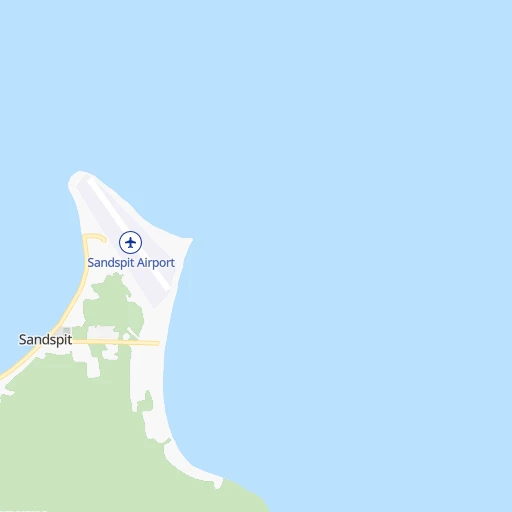
Roadmap (route) to go from Sandspit Airport to Anmore detailed above, you can also see the course layout on the map.
While doing trip Sandspit (airport) - Anmore by car, the calculated route ends at a distance , or more straight.
Distance and duration of the route between Sandspit (airport) and Anmore
Calculation of distance and route from Anmore to Sandspit (airport) :
760.31,200.2 km41h52mn
Continue 0h0mn 69 mTurn right onto Sandspit Airport 0h0mn 110 mTurn right onto Airport Road 0h0mn 36 mTurn left onto Airport Road 0h0mn 235 mTurn left onto Beach Road 1h44mn 18.7 kmKeep left onto Moresby Island (Alliford Bay) ↔ Graham Island (Skidegate) 0h1mn 169 mTurn sharp left onto Yellowhead Highway 9h20mn 186.8 kmTurn sharp right onto Prince Rupert ↔ Klemtu (Inside Passage) 12h29mn 249.5 kmTurn sharp left onto Klemtu ↔ Port Hardy (Inside Passage) 11h36mn 254.4 kmContinue onto Bear Cove Ferry Terminal 0h4mn 4.8 kmTurn left onto Island Highway 3h44mn 228.5 kmContinue onto Inland Island Highway 1h29mn 140.2 kmTurn left and take 19A South, 1 toward Departure Bay Ferry Terminal, Nanaimo, Horseshoe Bay 0h9mn 9.4 kmTurn left onto Departure Bay Road 0h0mn 43 mKeep right 0h0mn 39 mTurn slight right onto Estevan Road 0h0mn 88 mKeep left onto Brechin Road 0h1mn 938 mTurn left onto Stewart Avenue 0h0mn 22 mKeep right 0h1mn 252 mKeep right onto 18-36 0h0mn 10 mKeep right onto 18-36 0h0mn 8 mContinue onto 18-36 0h0mn 9 mContinue onto 18-36 0h0mn 7 mKeep left 0h1mn 209 mTurn right onto Berth 3 0h0mn 88 mContinue onto Berth 3 approach 2h25mn 56.4 kmKeep right onto Berth 1 approach 0h3mn 505 mKeep left onto Berth 1 0h20mn 24.5 kmKeep right 0h0mn 337 mKeep left toward 7A 0h1mn 520 mKeep left toward 7A 0h0mn 162 mKeep left 0h0mn 181 mTurn left onto East Hastings Street 0h5mn 5.3 kmContinue onto Inlet Drive 0h8mn 8.6 kmTurn left 0h1mn 1.1 kmTurn right onto Grant Street 0h0mn 116 mTurn left onto Saint Johns Street 0h2mn 1.9 kmTurn left onto Ioco Road 0h1mn 766 mContinue onto Heritage Mountain Boulevard 0h2mn 1.3 kmKeep right 0h1mn 599 mTurn sharp left onto David Avenue 0h0mn 44 mKeep right and drive toward Forest Park Way 0h0mn 237 mTurn left onto Aspenwood Drive 0h3mn 2.7 kmTurn right onto Sunnyside Road 0h0mn 108 mTurn right onto Leggett Drive 0h0mn 222 mArrive at destination 0h0mn 0 m
Travel from Sandspit (airport) (British Columbia) to a selection of major cities.
Distances from Sandspit Airport to biggest cities in British Columbia
- Vernon,47,274 inhabitants.924 km
- West End,44,560 inhabitants.748 km
- West Vancouver,42,694 inhabitants.740 km
- Penticton,37,721 inhabitants.946 km
- Campbell River,33,430 inhabitants.579 km
- Courtenay,32,793 inhabitants.617 km
- North Cowichan,32,272 inhabitants.751 km
- West Kelowna,28,793 inhabitants.925 km
- Port Moody,27,512 inhabitants.764 km
- Walnut Grove,25,683 inhabitants.784 km
- Langley,23,606 inhabitants.788 km
- Langford,22,459 inhabitants.791 km
- Duncan,22,199 inhabitants.754 km
- Port Alberni,21,282 inhabitants.661 km
Other major cities in country :
- Vaughan [08], 238,866 inhabitants. 3,900 km
- Kitchener [08], 233,700 inhabitants. 3,859 km
- Longueuil [10], 229,330 inhabitants. 4,188 km
- Saskatoon [11], 198,958 inhabitants. 1,692 km
- Richmond Hill [08], 185,541 inhabitants. 3,902 km
- Barrie [08], 182,041 inhabitants. 3,854 km
- Nepean [08], 180,000 inhabitants. 4,054 km
- Regina [11], 176,183 inhabitants. 1,884 km
- Oakville [08], 165,697 inhabitants. 3,912 km
- Burlington [08], 164,415 inhabitants. 3,906 km
- Greater Sudbury [08], 157,857 inhabitants. 3,642 km
- Saguenay [10], 143,692 inhabitants. 4,174 km
- St. Catharines [08], 131,989 inhabitants. 3,959 km
- Sherbrooke [10], 129,447 inhabitants. 4,301 km
- Levis [10], 126,396 inhabitants. 4,262 km
- Cambridge [08], 120,372 inhabitants. 3,876 km
- Trois-Rivieres [10], 119,693 inhabitants. 4,201 km
- Guelph [08], 115,760 inhabitants. 3,868 km
- East York [08], 115,365 inhabitants. 3,921 km
- Kingston [08], 114,195 inhabitants. 4,075 km
Route from Anmore to major cities (Canada).
- Distance Anmore Toronto3,338 km
- Distance Anmore Montreal3,669 km
- Distance Anmore Calgary654 km
- Distance Anmore Ottawa3,524 km
- Distance Anmore Edmonton803 km
- Distance Anmore Mississauga3,327 km
- Distance Anmore North York3,335 km
- Distance Anmore Winnipeg1,847 km
- Distance Anmore Scarborough3,346 km
- Distance Anmore Quebec3,776 km
- Distance Anmore Hamilton3,329 km
- Distance Anmore Brampton3,314 km
- Distance Anmore Laval3,659 km
- Distance Anmore Halifax4,415 km
- Distance Anmore Etobicoke3,330 km
- Distance Anmore London3,243 km
- Distance Anmore Windsor3,149 km
- Distance Anmore Markham3,341 km
- Distance Anmore Oshawa3,369 km
- Distance Anmore Gatineau3,520 km
Nearest cities to Sandspit (airport) :
- Prince Rupert, 14,708 inhabitants. 154 km
Location Sandspit (airport) (British Columbia) :
| Country flag |  |
| Location | Sandspit (airport) |
| State | British Columbia |
| County | Skeena-Queen Charlotte Regional District |
| Country | Canada |
| Country code / ISO 2 | CA |
| Latitude | 53.2539800 |
| Longitude | -131.8137300 |
| Altitude | 6 meters |
| Time zone | America/Vancouver |
Location Anmore (British Columbia) :
| Country flag | |
| Location | Anmore |
| State | British Columbia |
| County | Metro Vancouver Regional District |
| Country | Canada |
| Country code / ISO 2 | CA |
| Latitude | 49.3163700 |
| Longitude | -122.8526300 |
| Altitude | 0 meters |
| Time zone | America/Vancouver |


