
How to get from Staţia de Cale Ferată Ţira (Şoldăneşti) to Pervomaisc (Stînga Nistrului)
Calculate route from Staţia de Cale Ferată Ţira (Şoldăneşti, Moldova) to Pervomaisc (Stînga Nistrului, Moldova).
The flight distance (as the crow flies) between Staţia de Cale Ferată Ţira and Pervomaisc is 170.1 km.
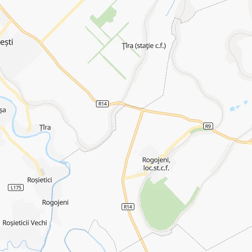
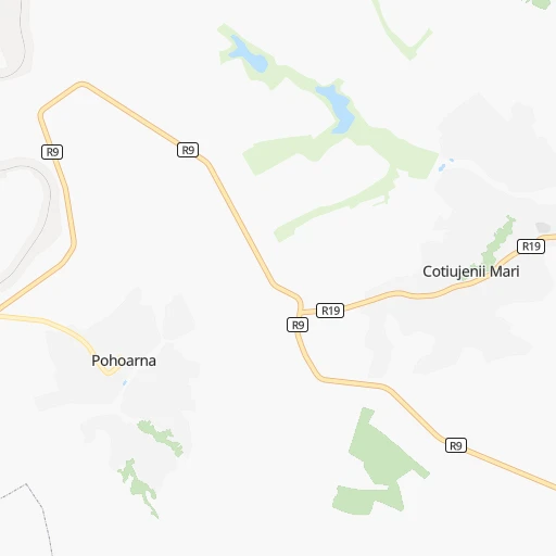
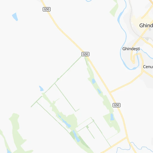
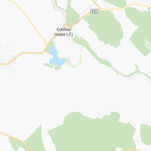
Roadmap (route) to go from Staţia de Cale Ferată Ţira to Pervomaisc detailed above, you can also see the course layout on the map.
While doing trip Staţia de Cale Ferată Ţira - Pervomaisc by car, the calculated route ends at a distance , or more straight.
Distance and duration of the route between Staţia de Cale Ferată Ţira and Pervomaisc
Calculation of distance and route from Pervomaisc to Staţia de Cale Ferată Ţira :
170.1212.0 km3h12mn
Continue 0h13mn 3.4 kmTurn left onto R14-Unchitești 0h4mn 3.6 kmTurn left onto Codrul Nou-Soroca 0h3mn 3.4 kmAt roundabout, take exit 2 onto R14-Șoldănești 0h3mn 2.9 kmKeep right onto R9-drumul de acces spre satul Pohoarna 0h2mn 1.3 kmKeep left 0h1mn 670 mKeep left 0h0mn 135 mKeep right 0h1mn 721 mKeep left 0h2mn 1.2 kmTurn sharp right onto R14-Șoldănești 0h20mn 22.5 kmAt roundabout, take exit 2 onto Strada 31 August 1989 0h9mn 12.4 kmKeep left onto Șoldănești-R20 0h0mn 40 mTurn left onto Orhei-Rezina 0h4mn 5.1 kmAt roundabout, take exit 2 onto Strada Orhei 0h2mn 1.4 kmContinue onto Strada Mihail Lomonosov 0h1mn 899 mTurn left onto Rezina-Rîbnița 0h1mn 1.2 kmKeep right onto улица Горького 0h0mn 142 mTurn right onto M4 0h1mn 714 mContinue onto улица Пушкина 1h44mn 56.2 kmAt roundabout, take exit 2 onto улица Дзержинского 0h1mn 841 mAt roundabout, take exit 3 onto улица Котовского 0h3mn 3.5 kmAt roundabout, take exit 2 onto улица Свердлова 0h11mn 11.8 kmKeep right onto улица Карла Маркса 1h33mn 36.5 kmTurn sharp left 0h0mn 366 mTurn sharp left onto M5 1h31mn 40.5 kmTurn sharp right onto улица Ленина 0h1mn 578 mTurn right 0h0mn 127 mArrive at destination 0h0mn 0 m
Travel from Staţia de Cale Ferată Ţira (Stînga Nistrului) to a selection of major cities.
Distances from Staţia de Cale Ferată Ţira to biggest cities in Şoldăneşti
Other major cities in country :
Route from Pervomaisc to major cities (Moldova).
Nearest cities to Staţia de Cale Ferată Ţira :
- Chisinau, 635,994 inhabitants. 100 km
- Tiraspol, 157,000 inhabitants. 145 km
- Balti, 125,000 inhabitants. 40 km
- Bender, 110,175 inhabitants. 139 km
- Ribnita, 55,455 inhabitants. 44 km
- Cahul, 34,492 inhabitants. 219 km
- Ungheni, 34,422 inhabitants. 87 km
- Soroca, 27,423 inhabitants. 35 km
- Orhei, 24,918 inhabitants. 61 km
- Dubasari, 23,254 inhabitants. 86 km
- Comrat, 22,911 inhabitants. 175 km
- Edinet, 22,872 inhabitants. 91 km
- Ceadir-Lunga, 22,700 inhabitants. 203 km
- Causeni, 21,690 inhabitants. 155 km
- Straseni, 19,225 inhabitants. 81 km
- Hincesti, 16,900 inhabitants. 115 km
- Floresti, 16,759 inhabitants. 11 km
- Drochia, 16,080 inhabitants. 51 km
- Bilicenii Vechi, 15,479 inhabitants. 37 km
- Slobozia, 15,356 inhabitants. 158 km
- Ialoveni, 14,915 inhabitants. 106 km
- Singerei, 14,600 inhabitants. 34 km
- Falesti, 14,377 inhabitants. 63 km
- Vulcanesti, 14,352 inhabitants. 242 km
- Leova, 14,301 inhabitants. 154 km
- Briceni, 14,132 inhabitants. 78 km
- Calarasi, 14,066 inhabitants. 68 km
- Taraclia, 13,512 inhabitants. 219 km
- Riscani, 12,893 inhabitants. 66 km
- Cimislia, 12,464 inhabitants. 151 km
- Nisporeni, 11,718 inhabitants. 89 km
- Camenca, 11,072 inhabitants. 27 km
- Basarabeasca, 10,809 inhabitants. 175 km
- Dnestrovsc, 10,426 inhabitants. 178 km
- Glodeni, 10,146 inhabitants. 70 km
- Dancu, 10,000 inhabitants. 124 km
- Briceni, 9,900 inhabitants. 115 km
- Rezina, 9,806 inhabitants. 41 km
- Hryhoriopol, 9,456 inhabitants. 102 km
- Donduseni, 9,435 inhabitants. 75 km
- Ocnita, 9,325 inhabitants. 94 km
- Mindresti, 9,280 inhabitants. 42 km
- Chitcani, 9,000 inhabitants. 149 km
- Otaci, 8,400 inhabitants. 79 km
- Anenii Noi, 8,250 inhabitants. 125 km
- Stefan Voda, 7,700 inhabitants. 176 km
- Cricova, 7,400 inhabitants. 87 km
- Pervomaisc, 7,300 inhabitants. 170 km
- Singera, 7,200 inhabitants. 113 km
- Criuleni, 6,932 inhabitants. 90 km
Location Staţia de Cale Ferată Ţira (Şoldăneşti) :
| Country flag |  |
| Location | Staţia de Cale Ferată Ţira |
| State | Şoldăneşti |
| County | |
| Country | Moldova |
| Country code / ISO 2 | MD |
| Latitude | 47.8629200 |
| Longitude | 28.4395300 |
| Altitude | 0 meters |
| Time zone | Europe/Chisinau |
Location Pervomaisc (Stînga Nistrului) :
| Country flag | |
| Location | Pervomaisc |
| State | Stînga Nistrului |
| County | |
| Country | Moldova |
| Country code / ISO 2 | MD |
| Latitude | 46.7325300 |
| Longitude | 29.9617000 |
| Altitude | 0 meters |
| Time zone | Europe/Chisinau |