

How to get from Port Moody (British Columbia) to Bowen Island (British Columbia)
Calculate route from Port Moody (British Columbia, Canada) to Bowen Island (British Columbia, Canada).
The flight distance (as the crow flies) between Port Moody and Bowen Island is 36.8 km.
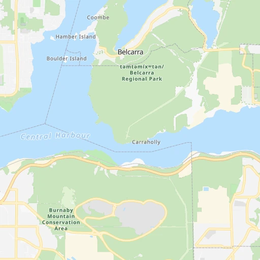
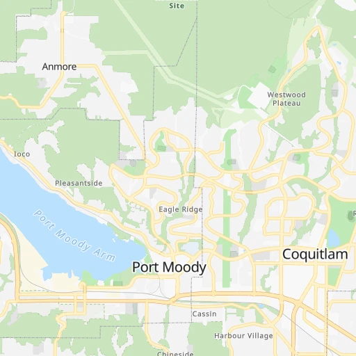
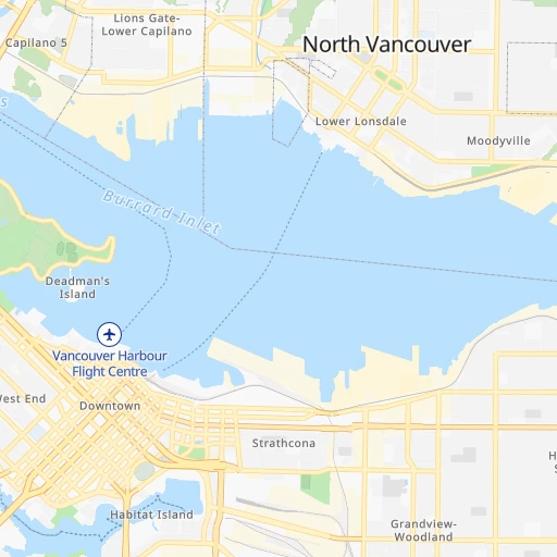
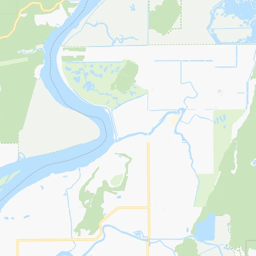
Roadmap (route) to go from Port Moody to Bowen Island detailed above, you can also see the course layout on the map.
While doing trip Port Moody - Bowen Island by car, the calculated route ends at a distance , or more straight.
Distance and duration of the route between Port Moody and Bowen Island
Calculation of distance and route from Bowen Island to Port Moody :
36.848.5 km1h16mn
Continue 0h0mn 45 mKeep right 0h0mn 65 mTurn right 0h0mn 98 mTurn right onto Esplanade Avenue 0h0mn 247 mTurn left onto Murray Street 0h0mn 71 mTurn left onto Moody Street 0h1mn 324 mTurn right onto Clarke Street 0h2mn 1.2 kmTurn right 0h0mn 69 mContinue onto Barnet Highway 0h0mn 226 mKeep left onto Barnet Highway 0h12mn 13.6 kmKeep right 0h18mn 23.1 kmContinue onto Trans-Canada Highway and take 1 West, 101 North toward Horseshoe Bay Village, Nanaimo, Gibsons 0h1mn 555 mKeep right onto Horseshoe Bay Terminal 0h1mn 673 mKeep left onto Trans-Canada Highway 0h0mn 20 mKeep left onto Trans-Canada Highway 0h0mn 26 mKeep right 0h0mn 18 mKeep left 0h0mn 125 mTurn right onto Horseshoe Bay Terminal 0h1mn 185 mKeep left onto 1 0h2mn 779 mKeep right onto 1 0h0mn 84 mKeep left onto 1 0h0mn 47 mTurn slight right onto Berth 1 0h0mn 50 mContinue onto Berth 1 approach 0h3mn 505 mKeep right onto Bowen Island ↔ Horseshoe Bay 1h30mn 5.3 kmTurn right onto Miller Road 0h1mn 682 mTurn right onto Melmore Road 0h0mn 108 mTurn right onto Melmore Road 0h0mn 204 mTurn left onto Lenora Road 0h0mn 117 mArrive at destination 0h0mn 0 m
Travel from Port Moody (British Columbia) to a selection of major cities.
Distances from Port Moody to biggest cities in British Columbia
- Vernon,47,274 inhabitants.280 km
- West End,44,560 inhabitants.20 km
- West Vancouver,42,694 inhabitants.25 km
- Penticton,37,721 inhabitants.238 km
- Campbell River,33,430 inhabitants.191 km
- Courtenay,32,793 inhabitants.161 km
- North Cowichan,32,272 inhabitants.78 km
- West Kelowna,28,793 inhabitants.245 km
- Walnut Grove,25,683 inhabitants.20 km
- Langley,23,606 inhabitants.25 km
- Langford,22,459 inhabitants.104 km
- Duncan,22,199 inhabitants.83 km
- Port Alberni,21,282 inhabitants.142 km
Other major cities in country :
- Vaughan [08], 238,866 inhabitants. 3,326 km
- Kitchener [08], 233,700 inhabitants. 3,273 km
- Longueuil [10], 229,330 inhabitants. 3,674 km
- Saskatoon [11], 198,958 inhabitants. 1,181 km
- Richmond Hill [08], 185,541 inhabitants. 3,329 km
- Barrie [08], 182,041 inhabitants. 3,287 km
- Nepean [08], 180,000 inhabitants. 3,524 km
- Regina [11], 176,183 inhabitants. 1,312 km
- Oakville [08], 165,697 inhabitants. 3,332 km
- Burlington [08], 164,415 inhabitants. 3,324 km
- Greater Sudbury [08], 157,857 inhabitants. 3,100 km
- Saguenay [10], 143,692 inhabitants. 3,719 km
- St. Catharines [08], 131,989 inhabitants. 3,378 km
- Sherbrooke [10], 129,447 inhabitants. 3,794 km
- Levis [10], 126,396 inhabitants. 3,780 km
- Cambridge [08], 120,372 inhabitants. 3,291 km
- Trois-Rivieres [10], 119,693 inhabitants. 3,705 km
- Guelph [08], 115,760 inhabitants. 3,286 km
- East York [08], 115,365 inhabitants. 3,345 km
- Kingston [08], 114,195 inhabitants. 3,524 km
Route from Bowen Island to major cities (Canada).
- Distance Bowen Island Toronto3,372 km
- Distance Bowen Island Montreal3,701 km
- Distance Bowen Island Calgary684 km
- Distance Bowen Island Ottawa3,556 km
- Distance Bowen Island Edmonton825 km
- Distance Bowen Island Mississauga3,361 km
- Distance Bowen Island North York3,369 km
- Distance Bowen Island Winnipeg1,879 km
- Distance Bowen Island Scarborough3,380 km
- Distance Bowen Island Quebec3,808 km
- Distance Bowen Island Hamilton3,364 km
- Distance Bowen Island Brampton3,348 km
- Distance Bowen Island Laval3,691 km
- Distance Bowen Island Halifax4,447 km
- Distance Bowen Island Etobicoke3,364 km
- Distance Bowen Island London3,277 km
- Distance Bowen Island Windsor3,184 km
- Distance Bowen Island Markham3,375 km
- Distance Bowen Island Oshawa3,403 km
- Distance Bowen Island Gatineau3,553 km
Nearest cities to Port Moody :
- Vancouver, 600,000 inhabitants. 20 km
- Surrey, 394,976 inhabitants. 20 km
- Victoria, 289,625 inhabitants. 102 km
- Burnaby, 202,799 inhabitants. 7 km
- Ladner, 200,000 inhabitants. 27 km
- Richmond, 182,000 inhabitants. 24 km
- Abbotsford, 151,683 inhabitants. 50 km
- Anmore, 126,456 inhabitants. 4 km
- Coquitlam, 114,565 inhabitants. 7 km
- Delta, 101,668 inhabitants. 16 km
- Nanaimo, 84,905 inhabitants. 80 km
- Chilliwack, 77,000 inhabitants. 67 km
- Maple Ridge, 70,000 inhabitants. 20 km
- Kamloops, 68,714 inhabitants. 238 km
- White Rock, 66,450 inhabitants. 30 km
- New Westminster, 58,549 inhabitants. 9 km
- North Vancouver, 48,000 inhabitants. 16 km
- West End, 44,560 inhabitants. 20 km
- West Vancouver, 42,694 inhabitants. 25 km
- Campbell River, 33,430 inhabitants. 191 km
- Courtenay, 32,793 inhabitants. 161 km
- North Cowichan, 32,272 inhabitants. 78 km
- Port Moody, 27,512 inhabitants. 0 km
- Walnut Grove, 25,683 inhabitants. 20 km
- Langley, 23,606 inhabitants. 25 km
- Langford, 22,459 inhabitants. 104 km
- Duncan, 22,199 inhabitants. 83 km
- Port Alberni, 21,282 inhabitants. 142 km
- Oak Bay, 18,015 inhabitants. 98 km
- Pitt Meadows, 17,410 inhabitants. 14 km
- Colwood, 14,687 inhabitants. 105 km
- Williams Lake, 14,168 inhabitants. 322 km
- Powell River, 12,779 inhabitants. 135 km
- Aldergrove, 12,363 inhabitants. 37 km
- Parksville, 12,000 inhabitants. 106 km
- North Saanich, 11,089 inhabitants. 80 km
- Whistler, 10,600 inhabitants. 93 km
- Hanceville, 10,000 inhabitants. 294 km
- Ladysmith, 8,740 inhabitants. 77 km
- Merritt, 7,179 inhabitants. 175 km
- Gibsons, 6,821 inhabitants. 49 km
- Sooke, 6,145 inhabitants. 120 km
- Sechelt, 5,977 inhabitants. 69 km
- Metchosin, 4,803 inhabitants. 112 km
- Agassiz, 4,738 inhabitants. 79 km
- Hope, 4,598 inhabitants. 103 km
- Bowen Island, 3,551 inhabitants. 37 km
Location Port Moody (British Columbia) :
| Country flag |  |
| Location | Port Moody |
| State | British Columbia |
| County | |
| Country | Canada |
| Country code / ISO 2 | CA |
| Latitude | 49.2829700 |
| Longitude | -122.8526300 |
| Altitude | 0 meters |
| Time zone | America/Vancouver |
Location Bowen Island (British Columbia) :
| Country flag | |
| Location | Bowen Island |
| State | British Columbia |
| County | Metro Vancouver Regional District |
| Country | Canada |
| Country code / ISO 2 | CA |
| Latitude | 49.3847000 |
| Longitude | -123.3362200 |
| Altitude | 0 meters |
| Time zone | America/Vancouver |
