

How to get from Etobicoke (Ontario) to St. Thomas (Ontario)
Calculate route from Etobicoke (Ontario, Canada) to St. Thomas (Ontario, Canada).
The flight distance (as the crow flies) between Etobicoke and St. Thomas is 163.2 km.
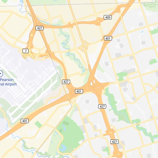
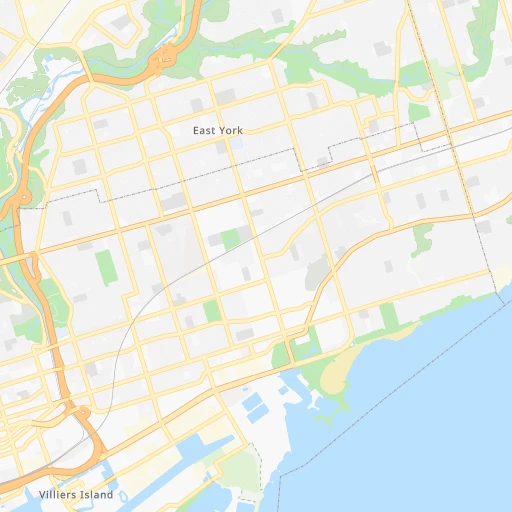
Roadmap (route) to go from Etobicoke to St. Thomas detailed above, you can also see the course layout on the map.
While doing trip Etobicoke - St. Thomas by car, the calculated route ends at a distance , or more straight.
Distance and duration of the route between Etobicoke and St. Thomas
Calculation of distance and route from St. Thomas to Etobicoke :
163.2185.6 km2h12mn
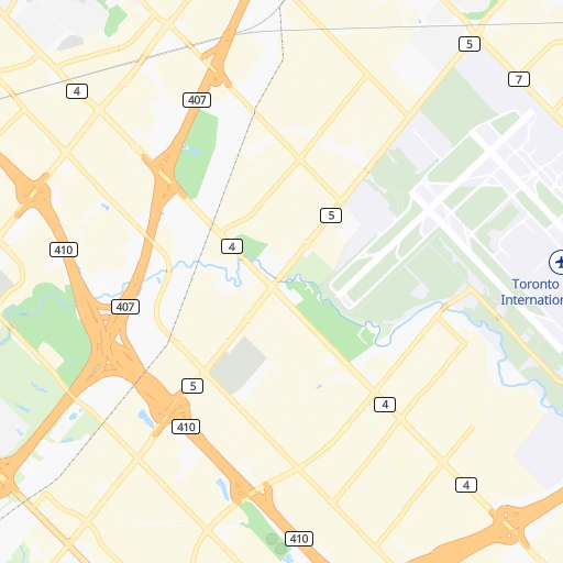
Continue onto Rathburn Road 0h0mn 247 mMake a U-turn onto Rathburn Road 0h1mn 716 mTurn right onto The West Mall 0h0mn 237 mTurn left onto Wellesworth Drive 0h2mn 1.2 kmTurn left onto Erinview Terrace 0h0mn 187 mTurn right onto Renforth Drive 0h2mn 1.2 kmTurn left toward 401 West 2h46mn 160.3 kmKeep right and drive toward Saint Thomas 0h0mn 510 mKeep left and drive toward Satint Thomas 0h0mn 113 mTurn left onto Highbury Avenue South 0h13mn 14.6 kmTurn right onto Ron McNeil Line 0h1mn 666 mTurn left onto Burwell Road 0h4mn 3.8 kmTurn right onto Talbot Street 0h1mn 779 mTurn left onto First Avenue 0h1mn 430 mTurn right onto Wellington Street 0h0mn 172 mTurn left onto Second Avenue 0h0mn 95 mTurn right onto Erie Street 0h0mn 189 mTurn left onto Third Avenue 0h0mn 60 mArrive at destination 0h0mn 0 m
Travel from Etobicoke (Ontario) to a selection of major cities.
Distances from Etobicoke to biggest cities in Ontario
- Cambridge,120,372 inhabitants.69 km
- Guelph,115,760 inhabitants.57 km
- East York,115,365 inhabitants.20 km
- Kingston,114,195 inhabitants.256 km
- Thunder Bay,99,334 inhabitants.914 km
- Waterloo,97,475 inhabitants.79 km
- Ajax,90,167 inhabitants.48 km
- Pickering,87,838 inhabitants.44 km
- Brantford,87,759 inhabitants.81 km
- Milton,84,362 inhabitants.30 km
- Sarnia,82,998 inhabitants.242 km
- Niagara Falls,82,000 inhabitants.74 km
- Willowdale,79,440 inhabitants.18 km
- Peterborough,75,877 inhabitants.123 km
- Sault Ste. Marie,74,948 inhabitants.492 km
- Newmarket,74,295 inhabitants.45 km
- Norfolk County,60,847 inhabitants.113 km
- Welland,50,331 inhabitants.79 km
- North Bay,50,170 inhabitants.297 km
- Belleville,49,454 inhabitants.184 km
Other major cities in country :
- Sherbrooke [10], 129,447 inhabitants. 639 km
- Anmore [02], 126,456 inhabitants. 3,330 km
- Levis [10], 126,396 inhabitants. 745 km
- Kelowna [02], 125,109 inhabitants. 3,083 km
- Trois-Rivieres [10], 119,693 inhabitants. 628 km
- Coquitlam [02], 114,565 inhabitants. 3,323 km
- Sydney [07], 105,968 inhabitants. 1,549 km
- Delta [02], 101,668 inhabitants. 3,336 km
- Dartmouth [07], 101,343 inhabitants. 1,280 km
- St. John's [05], 99,182 inhabitants. 2,125 km
- Terrebonne [10], 94,703 inhabitants. 521 km
- Saint John [04], 87,857 inhabitants. 1,086 km
- Moncton [04], 87,467 inhabitants. 1,195 km
- Nanaimo [02], 84,905 inhabitants. 3,410 km
- Saint-Laurent [10], 77,391 inhabitants. 511 km
- Chilliwack [02], 77,000 inhabitants. 3,266 km
- Repentigny [10], 76,237 inhabitants. 537 km
- Fort McMurray [01], 76,000 inhabitants. 2,657 km
- La Haute-Saint-Charles [10], 74,070 inhabitants. 736 km
- Red Deer [01], 73,593 inhabitants. 2,696 km
Route from St. Thomas to major cities (Canada).
- Distance St. Thomas Montreal678 km
- Distance St. Thomas Calgary2,640 km
- Distance St. Thomas Edmonton2,650 km
- Distance St. Thomas Winnipeg1,456 km
- Distance St. Thomas Vancouver3,277 km
- Distance St. Thomas Quebec906 km
- Distance St. Thomas Surrey3,257 km
- Distance St. Thomas Laval674 km
- Distance St. Thomas Halifax1,429 km
- Distance St. Thomas Okanagan3,004 km
- Distance St. Thomas Victoria3,302 km
- Distance St. Thomas Gatineau531 km
- Distance St. Thomas Longueuil684 km
- Distance St. Thomas Burnaby3,265 km
- Distance St. Thomas Ladner3,275 km
- Distance St. Thomas Saskatoon2,167 km
- Distance St. Thomas Richmond3,279 km
- Distance St. Thomas Regina1,974 km
- Distance St. Thomas Abbotsford3,215 km
- Distance St. Thomas Saguenay1,006 km
Nearest cities to Etobicoke :
- Toronto, 2,600,000 inhabitants. 13 km
- Mississauga, 668,549 inhabitants. 11 km
- North York, 636,000 inhabitants. 17 km
- Scarborough, 600,000 inhabitants. 28 km
- Hamilton, 519,949 inhabitants. 50 km
- Brampton, 433,806 inhabitants. 16 km
- Etobicoke, 347,948 inhabitants. 0 km
- London, 346,765 inhabitants. 154 km
- Markham, 261,573 inhabitants. 34 km
- Oshawa, 247,989 inhabitants. 64 km
- Vaughan, 238,866 inhabitants. 21 km
- Kitchener, 233,700 inhabitants. 80 km
- Richmond Hill, 185,541 inhabitants. 26 km
- Barrie, 182,041 inhabitants. 83 km
- Oakville, 165,697 inhabitants. 25 km
- Burlington, 164,415 inhabitants. 37 km
- Greater Sudbury, 157,857 inhabitants. 335 km
- St. Catharines, 131,989 inhabitants. 60 km
- Cambridge, 120,372 inhabitants. 69 km
- Guelph, 115,760 inhabitants. 57 km
- East York, 115,365 inhabitants. 20 km
- Waterloo, 97,475 inhabitants. 79 km
- Ajax, 90,167 inhabitants. 48 km
- Pickering, 87,838 inhabitants. 44 km
- Brantford, 87,759 inhabitants. 81 km
- Milton, 84,362 inhabitants. 30 km
- Sarnia, 82,998 inhabitants. 242 km
- Niagara Falls, 82,000 inhabitants. 74 km
- Willowdale, 79,440 inhabitants. 18 km
- Peterborough, 75,877 inhabitants. 123 km
- Newmarket, 74,295 inhabitants. 45 km
- Norfolk County, 60,847 inhabitants. 113 km
- Welland, 50,331 inhabitants. 79 km
- North Bay, 50,170 inhabitants. 297 km
- Belleville, 49,454 inhabitants. 184 km
- Chatham, 43,550 inhabitants. 254 km
- Quinte West, 42,697 inhabitants. 171 km
- St. Thomas, 36,110 inhabitants. 164 km
- Brant, 34,415 inhabitants. 86 km
- Woodstock, 33,892 inhabitants. 112 km
- Ancaster, 33,232 inhabitants. 59 km
- Orangeville, 32,640 inhabitants. 52 km
- Midland, 31,502 inhabitants. 125 km
- Stratford, 30,233 inhabitants. 116 km
- Orillia, 30,178 inhabitants. 107 km
- Prince Edward, 25,496 inhabitants. 190 km
- Owen Sound, 22,625 inhabitants. 150 km
- Keswick, 21,000 inhabitants. 67 km
- Lindsay, 20,354 inhabitants. 102 km
- Huntsville, 19,579 inhabitants. 189 km
Location Etobicoke (Ontario) :
| Country flag |  |
| Location | Etobicoke |
| State | Ontario |
| County | |
| Country | Canada |
| Country code / ISO 2 | CA |
| Latitude | 43.6542100 |
| Longitude | -79.5671100 |
| Altitude | 0 meters |
| Time zone | America/Toronto |
Location St. Thomas (Ontario) :
| Country flag | |
| Location | St. Thomas |
| State | Ontario |
| County | |
| Country | Canada |
| Country code / ISO 2 | CA |
| Latitude | 42.7736100 |
| Longitude | -81.1803800 |
| Altitude | 0 meters |
| Time zone | America/Toronto |

