


How to get from Kodiak Municipal (airport) (Alaska) to Soldotna (Alaska)
Calculate route from Kodiak Municipal (airport) (Alaska, United States) to Soldotna (Alaska, United States).
The flight distance (as the crow flies) between Kodiak Municipal (airport) and Soldotna is 307.1 km.
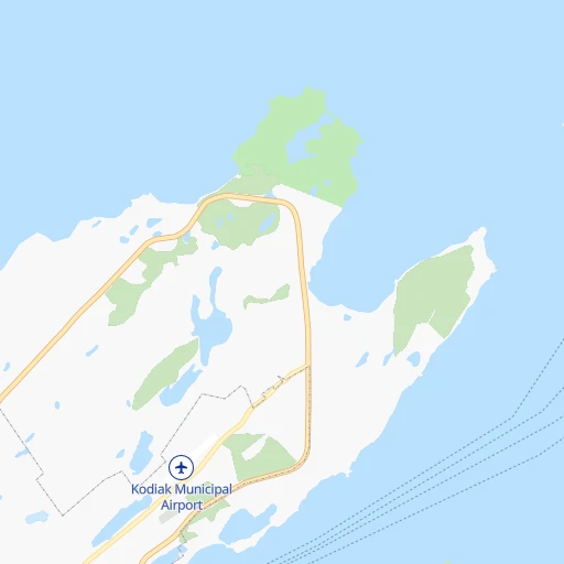
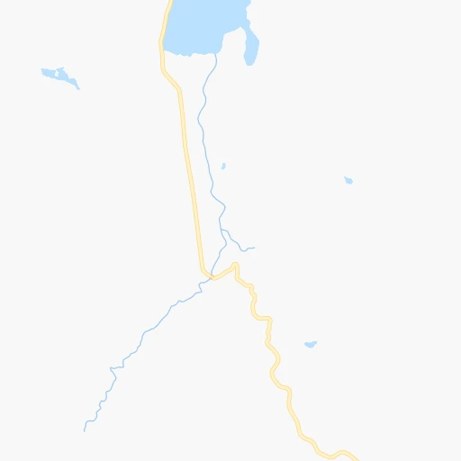
Roadmap (route) to go from Kodiak Municipal Airport to Soldotna detailed above, you can also see the course layout on the map.
While doing trip Kodiak Municipal (airport) - Soldotna by car, the calculated route ends at a distance , or more straight.
Distance and duration of the route between Kodiak Municipal (airport) and Soldotna
Calculation of distance and route from Soldotna to Kodiak Municipal (airport) :
307.1377.1 km14h60mn
Continue 0h1mn 185 mTurn right onto Von Scheele Way 0h0mn 103 mTurn right onto Mill Bay Road 0h3mn 3.2 kmKeep left onto Center Street 0h1mn 368 mTurn left onto Marine Way East 0h0mn 27 mTurn right 0h0mn 57 mKeep left onto Alaska Marine Highway - Homer - Kodiak Ferry 12h9mn 242.9 kmTurn right onto Ferry Access 0h1mn 251 mTurn right onto Homer Spit Road 2h45mn 129.9 kmTurn left onto Kenai Spur Highway 0h0mn 138 mArrive at destination 0h0mn 0 m
Travel from Kodiak Municipal (airport) (Alaska) to a selection of major cities.
Distances from Kodiak Municipal Airport to biggest cities in Alaska
Other major cities in country :
- Charlotte [NC], 827,097 inhabitants. 5,704 km
- Seattle [WA], 684,451 inhabitants. 2,295 km
- Denver [CO], 682,545 inhabitants. 3,905 km
- El Paso [TX], 681,124 inhabitants. 4,505 km
- Detroit [MI], 677,116 inhabitants. 4,993 km
- Boston [MA], 667,137 inhabitants. 5,675 km
- Memphis [TN], 655,770 inhabitants. 5,166 km
- New South Memphis [TN], 641,608 inhabitants. 5,171 km
- Portland [OR], 632,309 inhabitants. 2,434 km
- Oklahoma City [OK], 631,346 inhabitants. 4,698 km
- Las Vegas [NV], 623,747 inhabitants. 3,635 km
- Baltimore [MD], 621,849 inhabitants. 5,611 km
- Washington, D.C. [DC], 601,723 inhabitants. 5,619 km
- Milwaukee [WI], 600,155 inhabitants. 4,654 km
- South Boston [MA], 571,281 inhabitants. 5,677 km
- Albuquerque [NM], 559,121 inhabitants. 4,201 km
- Tucson [AZ], 531,641 inhabitants. 4,219 km
- Nashville [TN], 530,852 inhabitants. 5,274 km
- Fresno [CA], 520,052 inhabitants. 3,340 km
- Sacramento [CA], 490,712 inhabitants. 3,086 km
Route from Soldotna to major cities (United States).
- Distance Soldotna New York City5,495 km
- Distance Soldotna Los Angeles3,770 km
- Distance Soldotna Chicago4,659 km
- Distance Soldotna Brooklyn5,503 km
- Distance Soldotna Houston5,310 km
- Distance Soldotna Queens5,507 km
- Distance Soldotna Philadelphia5,498 km
- Distance Soldotna Phoenix4,113 km
- Distance Soldotna Manhattan5,491 km
- Distance Soldotna San Antonio5,176 km
- Distance Soldotna San Diego3,949 km
- Distance Soldotna The Bronx5,490 km
- Distance Soldotna Dallas4,955 km
- Distance Soldotna San Jose3,291 km
- Distance Soldotna Austin5,137 km
- Distance Soldotna Jacksonville6,001 km
- Distance Soldotna San Francisco3,226 km
- Distance Soldotna Columbus5,073 km
- Distance Soldotna Fort Worth4,932 km
- Distance Soldotna Indianapolis4,917 km
Nearest cities to Kodiak Municipal (airport) :
Location Kodiak Municipal (airport) (Alaska) :
| Country flag |  |
| Location | Kodiak Municipal (airport) |
| State | Alaska |
| County | Kodiak Island Borough |
| Country | United States |
| Country code / ISO 2 | US |
| Latitude | 57.8076800 |
| Longitude | -152.3708300 |
| Altitude | 49 meters |
| Time zone | America/Anchorage |
Location Soldotna (Alaska) :
| Country flag | |
| Location | Soldotna |
| State | Alaska |
| County | Kenai Peninsula Borough |
| Country | United States |
| Country code / ISO 2 | US |
| Latitude | 60.4877800 |
| Longitude | -151.0583300 |
| Altitude | 33 meters |
| Time zone | America/Anchorage |


