

How to get from Hope (airport) (Alaska) to Gateway (Alaska)
Calculate route from Hope (airport) (Alaska, United States) to Gateway (Alaska, United States).
The flight distance (as the crow flies) between Hope (airport) and Gateway is 76.7 km.
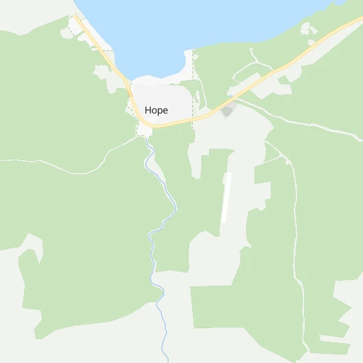
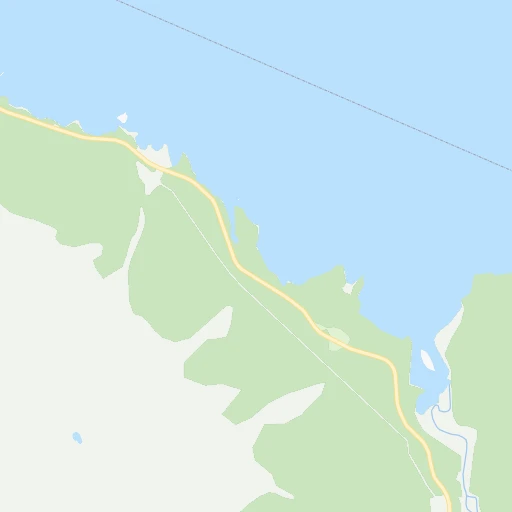
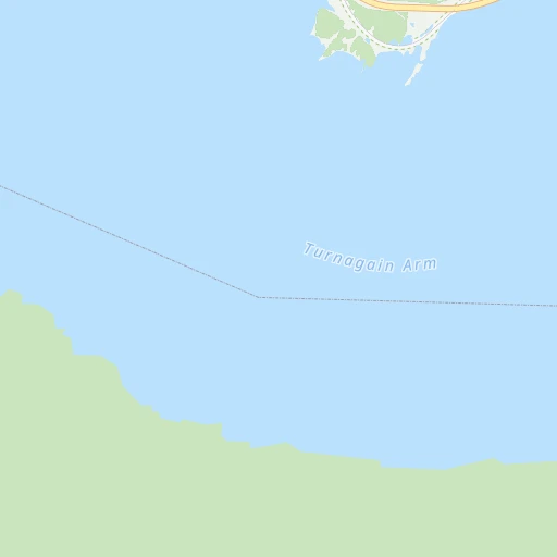
Roadmap (route) to go from Hope Airport to Gateway detailed above, you can also see the course layout on the map.
While doing trip Hope (airport) - Gateway by car, the calculated route ends at a distance , or more straight.
Distance and duration of the route between Hope (airport) and Gateway
Calculation of distance and route from Gateway to Hope (airport) :
76.7201.0 km2h24mn
Continue onto Resurrection Creek Road 0h3mn 1.7 kmTurn right onto Hope Highway 0h22mn 26.0 kmTurn left onto Seward Highway 1h12mn 108.4 kmKeep right and drive toward Tudor Road 0h0mn 417 mTurn right onto East Tudor Road 0h1mn 1.1 kmTurn left onto Lake Otis Parkway 0h3mn 3.0 kmTurn right onto DeBarr Road 0h1mn 873 mTurn left onto Airport Heights Drive 0h1mn 781 mKeep right and take AK 1 toward Glenn Highway North, Eagle River 1h34mn 53.1 kmKeep left onto East Parks Highway and drive toward Wasilla, Fairbanks 0h2mn 2.6 kmKeep right and drive toward Trunk Road 0h0mn 428 mKeep right and drive toward Trunk Road north 0h0mn 399 mAt roundabout, take exit 2 onto South Trunk Road 0h1mn 813 mTurn right onto East Duchess Drive 0h0mn 104 mTurn right onto East Cottrell-Campus Drive 0h0mn 28 mTurn left onto East Duchess Drive 0h2mn 943 mTurn right onto Joanne Drive 0h0mn 239 mArrive at destination 0h0mn 0 m
Travel from Hope (airport) (Alaska) to a selection of major cities.
Distances from Hope Airport to biggest cities in Alaska
Other major cities in country :
- Charlotte [NC], 827,097 inhabitants. 5,524 km
- Seattle [WA], 684,451 inhabitants. 2,282 km
- Denver [CO], 682,545 inhabitants. 3,834 km
- El Paso [TX], 681,124 inhabitants. 4,496 km
- Detroit [MI], 677,116 inhabitants. 4,787 km
- Boston [MA], 667,137 inhabitants. 5,421 km
- Memphis [TN], 655,770 inhabitants. 5,034 km
- New South Memphis [TN], 641,608 inhabitants. 5,039 km
- Portland [OR], 632,309 inhabitants. 2,449 km
- Oklahoma City [OK], 631,346 inhabitants. 4,607 km
- Las Vegas [NV], 623,747 inhabitants. 3,666 km
- Baltimore [MD], 621,849 inhabitants. 5,393 km
- Washington, D.C. [DC], 601,723 inhabitants. 5,405 km
- Milwaukee [WI], 600,155 inhabitants. 4,465 km
- South Boston [MA], 571,281 inhabitants. 5,424 km
- Albuquerque [NM], 559,121 inhabitants. 4,174 km
- Tucson [AZ], 531,641 inhabitants. 4,241 km
- Nashville [TN], 530,852 inhabitants. 5,119 km
- Fresno [CA], 520,052 inhabitants. 3,407 km
- Sacramento [CA], 490,712 inhabitants. 3,155 km
Route from Gateway to major cities (United States).
- Distance Gateway New York City5,374 km
- Distance Gateway Los Angeles3,768 km
- Distance Gateway Chicago4,557 km
- Distance Gateway Brooklyn5,382 km
- Distance Gateway Houston5,248 km
- Distance Gateway Queens5,385 km
- Distance Gateway Philadelphia5,380 km
- Distance Gateway Phoenix4,091 km
- Distance Gateway Manhattan5,370 km
- Distance Gateway San Antonio5,123 km
- Distance Gateway San Diego3,946 km
- Distance Gateway The Bronx5,369 km
- Distance Gateway Dallas4,890 km
- Distance Gateway San Jose3,294 km
- Distance Gateway Austin5,080 km
- Distance Gateway Jacksonville5,908 km
- Distance Gateway San Francisco3,230 km
- Distance Gateway Columbus4,967 km
- Distance Gateway Fort Worth4,870 km
- Distance Gateway Indianapolis4,816 km
Nearest cities to Hope (airport) :
- Anchorage, 298,695 inhabitants. 38 km
- Eagle River, 24,793 inhabitants. 46 km
- Knik-Fairview, 14,923 inhabitants. 67 km
- Wasilla, 9,284 inhabitants. 76 km
- Lakes, 8,364 inhabitants. 80 km
- Tanaina, 8,197 inhabitants. 81 km
- Kalifornsky, 7,850 inhabitants. 106 km
- Kenai, 7,661 inhabitants. 97 km
- Meadow Lakes, 7,570 inhabitants. 80 km
- Palmer, 6,788 inhabitants. 82 km
- Elmendorf Air Force Base, 6,621 inhabitants. 39 km
- Sterling, 5,617 inhabitants. 75 km
- Gateway, 5,552 inhabitants. 77 km
- Homer, 5,515 inhabitants. 176 km
- Fishhook, 4,679 inhabitants. 95 km
- Soldotna, 4,544 inhabitants. 91 km
- Nikiski, 4,493 inhabitants. 94 km
- Big Lake, 3,350 inhabitants. 71 km
- Butte, 3,246 inhabitants. 77 km
Location Hope (airport) (Alaska) :
| Country flag |  |
| Location | Hope (airport) |
| State | Alaska |
| County | Kenai Peninsula Borough |
| Country | United States |
| Country code / ISO 2 | US |
| Latitude | 60.9069700 |
| Longitude | -149.6223600 |
| Altitude | 44 meters |
| Time zone | America/Anchorage |
Location Gateway (Alaska) :
| Country flag | |
| Location | Gateway |
| State | Alaska |
| County | Matanuska-Susitna Borough |
| Country | United States |
| Country code / ISO 2 | US |
| Latitude | 61.5727800 |
| Longitude | -149.2408300 |
| Altitude | 63 meters |
| Time zone | America/Anchorage |
