
How to get from Watson (airport) (Washington) to South Hill (Washington)
Calculate route from Watson (airport) (Washington, United States) to South Hill (Washington, United States).
The flight distance (as the crow flies) between Watson (airport) and South Hill is 281.3 km.
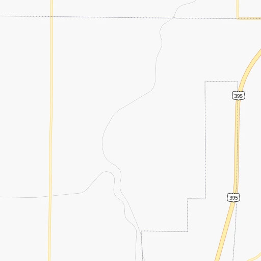
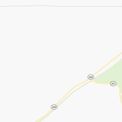
Roadmap (route) to go from Watson Airport to South Hill detailed above, you can also see the course layout on the map.
While doing trip Watson (airport) - South Hill by car, the calculated route ends at a distance , or more straight.
Distance and duration of the route between Watson (airport) and South Hill
Calculation of distance and route from South Hill to Watson (airport) :
281.3360.0 km4h22mn
Continue onto Wadsworth Road 0h10mn 4.9 kmTurn left onto Hatton Road 0h4mn 3.2 kmTurn right onto Foulkes Road 0h4mn 3.2 kmTurn left onto WA 26 3h16mn 286.9 kmKeep right and take WA 18 West toward Auburn 0h0mn 504 mTurn left onto Snoqualmie Parkway 0h28mn 39.5 kmKeep right and take WA 167 toward Renton, Puyallup 0h0mn 337 mKeep left and take WA 167 South toward Puyallup, West Valley Highway 0h0mn 463 mKeep right and take WA 167 South toward Puyallup 0h8mn 12.1 kmKeep right and take WA 410 East toward Sumner, Yakima 0h1mn 1.2 kmKeep right and drive toward East Main Traffic Avenue 0h0mn 408 mTurn sharp right onto East Main 0h1mn 818 mKeep left onto East Main 0h0mn 71 mTurn slight left onto Shaw Road 0h6mn 5.3 kmTurn right onto 122nd Street East 0h1mn 749 mTurn left onto 120th Avenue Court East 0h1mn 434 mArrive at destination 0h0mn 0 m
Travel from Watson (airport) (Washington) to a selection of major cities.
Distances from Watson Airport to biggest cities in Washington
- Richland,54,248 inhabitants.71 km
- South Hill,52,431 inhabitants.282 km
- Sammamish,52,253 inhabitants.282 km
- Burien,50,467 inhabitants.295 km
- Olympia,50,302 inhabitants.328 km
- Lacey,46,409 inhabitants.322 km
- City of Sammamish,45,780 inhabitants.277 km
- Bothell,42,939 inhabitants.295 km
- Edmonds,41,375 inhabitants.309 km
- Puyallup,39,659 inhabitants.284 km
- Bremerton,39,520 inhabitants.319 km
- Lynnwood,36,997 inhabitants.305 km
- Longview,36,848 inhabitants.338 km
- Issaquah,36,081 inhabitants.274 km
- Parkland,35,803 inhabitants.294 km
- Mount Vernon,34,053 inhabitants.337 km
- West Lake Sammamish,33,929 inhabitants.281 km
- Wenatchee,33,636 inhabitants.151 km
- University Place,32,842 inhabitants.304 km
- Pullman,32,816 inhabitants.109 km
Other major cities in country :
- Charlotte [NC], 827,097 inhabitants. 3,383 km
- Denver [CO], 682,545 inhabitants. 1,348 km
- El Paso [TX], 681,124 inhabitants. 1,961 km
- Detroit [MI], 677,116 inhabitants. 2,840 km
- Boston [MA], 667,137 inhabitants. 3,746 km
- Memphis [TN], 655,770 inhabitants. 2,704 km
- New South Memphis [TN], 641,608 inhabitants. 2,708 km
- Portland [OR], 632,309 inhabitants. 341 km
- Oklahoma City [OK], 631,346 inhabitants. 2,157 km
- Las Vegas [NV], 623,747 inhabitants. 1,209 km
- Baltimore [MD], 621,849 inhabitants. 3,474 km
- Washington, D.C. [DC], 601,723 inhabitants. 3,462 km
- Milwaukee [WI], 600,155 inhabitants. 2,441 km
- South Boston [MA], 571,281 inhabitants. 3,748 km
- Albuquerque [NM], 559,121 inhabitants. 1,636 km
- Tucson [AZ], 531,641 inhabitants. 1,742 km
- Nashville [TN], 530,852 inhabitants. 2,879 km
- Fresno [CA], 520,052 inhabitants. 1,114 km
- Sacramento [CA], 490,712 inhabitants. 936 km
- Kansas City [MO], 475,378 inhabitants. 2,124 km
Route from South Hill to major cities (United States).
- Distance South Hill New York City3,872 km
- Distance South Hill Los Angeles1,496 km
- Distance South Hill Chicago2,787 km
- Distance South Hill Brooklyn3,879 km
- Distance South Hill Houston3,014 km
- Distance South Hill Queens3,886 km
- Distance South Hill Philadelphia3,824 km
- Distance South Hill Phoenix1,750 km
- Distance South Hill Manhattan3,871 km
- Distance South Hill San Antonio2,843 km
- Distance South Hill San Diego1,663 km
- Distance South Hill The Bronx3,875 km
- Distance South Hill Dallas2,677 km
- Distance South Hill San Jose1,092 km
- Distance South Hill Austin2,819 km
- Distance South Hill Jacksonville3,933 km
- Distance South Hill San Francisco1,043 km
- Distance South Hill Columbus3,231 km
- Distance South Hill Fort Worth2,647 km
- Distance South Hill Indianapolis3,002 km
Nearest cities to Watson (airport) :
- Spokane, 213,272 inhabitants. 138 km
- Spokane Valley, 94,919 inhabitants. 148 km
- Yakima, 93,701 inhabitants. 145 km
- Bend, 87,014 inhabitants. 364 km
- Kennewick, 78,896 inhabitants. 70 km
- Pasco, 69,451 inhabitants. 65 km
- Richland, 54,248 inhabitants. 71 km
- Coeur d'Alene, 49,122 inhabitants. 175 km
- Wenatchee, 33,636 inhabitants. 151 km
- Pullman, 32,816 inhabitants. 109 km
- Lewiston, 32,544 inhabitants. 127 km
- Walla Walla, 32,237 inhabitants. 76 km
- Lewiston Orchards, 31,422 inhabitants. 131 km
- Post Falls, 30,453 inhabitants. 168 km
- Redmond, 28,654 inhabitants. 338 km
- Opportunity, 25,877 inhabitants. 147 km
- Moscow, 25,060 inhabitants. 123 km
- Moses Lake, 22,082 inhabitants. 68 km
- Ellensburg, 19,001 inhabitants. 150 km
- Hermiston, 17,201 inhabitants. 111 km
- Pendleton, 16,881 inhabitants. 118 km
- Sunnyside, 16,325 inhabitants. 116 km
- The Dalles, 15,340 inhabitants. 234 km
- Hayden, 14,133 inhabitants. 181 km
- West Richland, 13,746 inhabitants. 74 km
- East Wenatchee, 13,659 inhabitants. 149 km
- La Grande, 13,074 inhabitants. 161 km
- West Valley, 12,655 inhabitants. 153 km
- Cheney, 11,534 inhabitants. 116 km
- Grandview, 11,176 inhabitants. 112 km
- Ontario, 10,999 inhabitants. 327 km
- Veradale, 9,991 inhabitants. 148 km
- Dishman, 9,978 inhabitants. 145 km
- Baker City, 9,752 inhabitants. 225 km
- Prineville, 9,530 inhabitants. 320 km
- College Place, 9,062 inhabitants. 77 km
- Toppenish, 8,995 inhabitants. 135 km
- Liberty Lake, 8,906 inhabitants. 155 km
- East Wenatchee Bench, 8,856 inhabitants. 149 km
- Ephrata, 8,047 inhabitants. 97 km
- Fairwood, 7,905 inhabitants. 147 km
- Sandpoint, 7,835 inhabitants. 232 km
- Othello, 7,809 inhabitants. 44 km
- Selah, 7,682 inhabitants. 147 km
- Hood River, 7,624 inhabitants. 251 km
- Rathdrum, 7,538 inhabitants. 178 km
- Payette, 7,380 inhabitants. 322 km
- Quincy, 7,365 inhabitants. 110 km
- Clarkston, 7,317 inhabitants. 125 km
- Mead, 7,275 inhabitants. 150 km
Location Watson (airport) (Washington) :
| Country flag |  |
| Location | Watson (airport) |
| State | Washington |
| County | Franklin County |
| Country | United States |
| Country code / ISO 2 | US |
| Latitude | 46.7210900 |
| Longitude | -118.6136000 |
| Altitude | 416 meters |
| Time zone | America/Los_Angeles |
Location South Hill (Washington) :
| Country flag | |
| Location | South Hill |
| State | Washington |
| County | Pierce County |
| Country | United States |
| Country code / ISO 2 | US |
| Latitude | 47.1412100 |
| Longitude | -122.2701200 |
| Altitude | 163 meters |
| Time zone | America/Los_Angeles |


