

How to get from Trentwood (Washington) to Baker City (Oregon)
Calculate route from Trentwood (Washington, United States) to Baker City (Oregon, United States).
The flight distance (as the crow flies) between Trentwood and Baker City is 328.2 km.
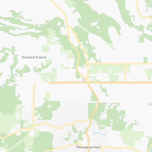
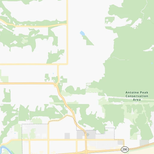
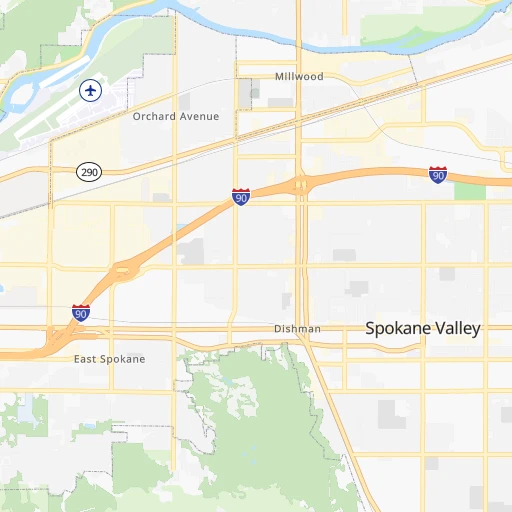
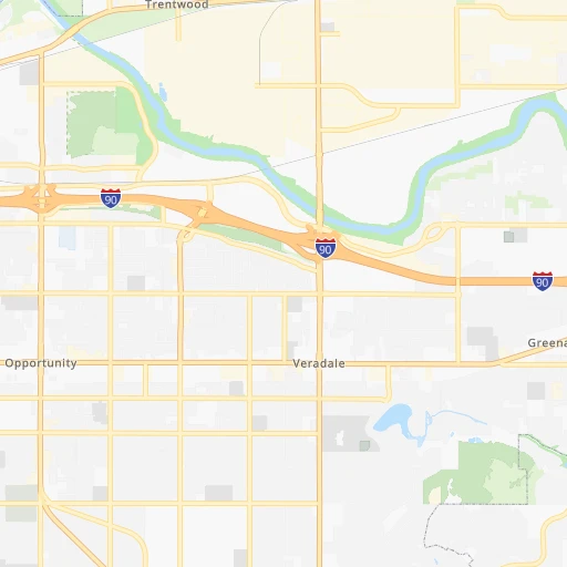
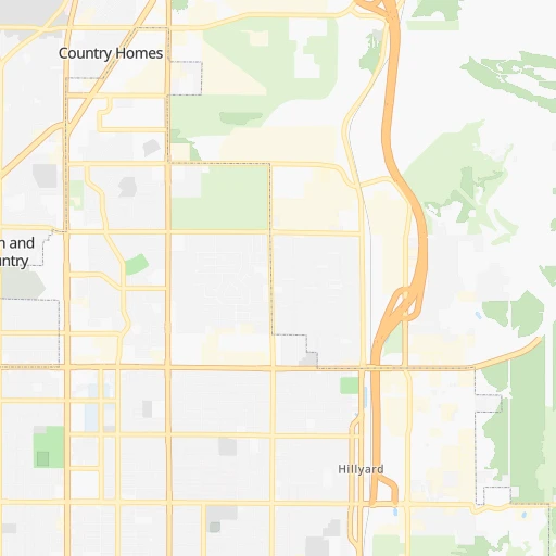
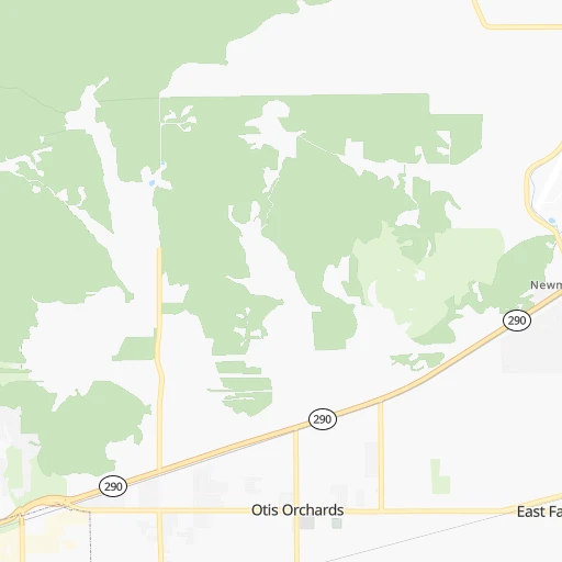
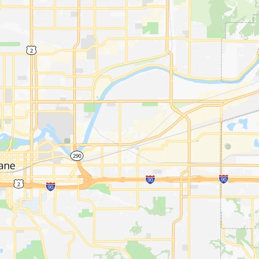
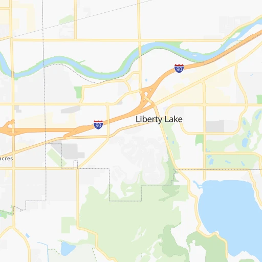
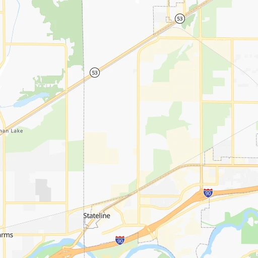
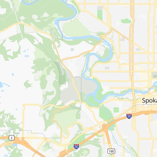
Roadmap (route) to go from Trentwood to Baker City detailed above, you can also see the course layout on the map.
While doing trip Trentwood - Baker City by car, the calculated route ends at a distance , or more straight.
Distance and duration of the route between Trentwood and Baker City
Calculation of distance and route from Baker City to Trentwood :
328.2443.5 km6h16mn
Continue onto North Ellen Road 0h0mn 188 mTurn right onto East Trent Avenue 0h5mn 5.7 kmTurn left onto North Argonne Road 0h1mn 752 mTurn right and drive toward Spokane 0h4mn 5.7 kmKeep right 0h1mn 960 mTurn left onto South Thor Street 0h2mn 1.7 kmTurn slight right onto South Ray Street 0h3mn 2.1 kmTurn right onto East 37th Avenue 0h2mn 2.0 kmTurn left onto South Perry Street 0h3mn 2.1 kmTurn right onto East 57th Avenue 0h0mn 208 mTurn slight left onto South Hatch Road 0h3mn 2.4 kmTurn left onto US 195 1h59mn 83.2 kmKeep right onto WA 26 and drive toward Washtucna 0h0mn 90 mContinue onto West Walla Walla Highway 0h20mn 26.6 kmTurn left onto State Route 127 1h32mn 43.5 kmKeep left onto US 12 0h26mn 36.7 kmTurn right onto East Dayton Avenue 0h1mn 591 mTurn left onto North 3rd Street 0h1mn 511 mTurn right onto East Main Street 0h13mn 15.6 kmTurn left onto Coppei Avenue 0h23mn 31.1 kmKeep left 0h0mn 487 mTurn right onto East Melrose Street 0h1mn 808 mTurn left onto North Rose Street 0h0mn 206 mTurn right onto East Rose Street 0h1mn 1.6 kmTurn left onto North 9th Avenue 0h2mn 1.5 kmAt roundabout, take exit 2 onto WA 125 0h2mn 1.7 kmContinue onto WA 125 0h11mn 13.1 kmTurn sharp left onto South Main Street 0h1mn 1.3 kmTurn left onto South Main Street 0h7mn 5.9 kmKeep right onto Lincton Mountain Road 1h38mn 18.9 kmTurn slight left onto Weston-Elgin Highway 1h35mn 35.2 kmTurn right onto Summerville Road 0h16mn 15.8 kmTurn right onto Brooks Road 0h0mn 69 mTurn right onto Ruckman Avenue 0h12mn 12.9 kmTurn left onto Pierce Road 0h12mn 12.2 kmTurn right onto Foothill Road 0h0mn 420 mTurn sharp left 1h33mn 55.0 kmKeep right and take OR 86 East toward North Baker City, Richland 0h0mn 423 mTurn right onto Cedar Street 0h3mn 2.7 kmTurn right onto Campbell Street 0h1mn 588 mTurn left onto Main Street 0h0mn 393 mTurn right onto Broadway Street 0h0mn 368 mTurn left onto 4th Street 0h0mn 361 mArrive at destination 0h0mn 0 m
Travel from Trentwood (Oregon) to a selection of major cities.
Distances from Trentwood to biggest cities in Washington
- Richland,54,248 inhabitants.222 km
- South Hill,52,431 inhabitants.386 km
- Sammamish,52,253 inhabitants.365 km
- Burien,50,467 inhabitants.386 km
- Olympia,50,302 inhabitants.435 km
- Lacey,46,409 inhabitants.429 km
- City of Sammamish,45,780 inhabitants.362 km
- Bothell,42,939 inhabitants.374 km
- Edmonds,41,375 inhabitants.387 km
- Puyallup,39,659 inhabitants.387 km
- Bremerton,39,520 inhabitants.407 km
- Lynnwood,36,997 inhabitants.382 km
- Longview,36,848 inhabitants.469 km
- Issaquah,36,081 inhabitants.362 km
- Parkland,35,803 inhabitants.398 km
- Mount Vernon,34,053 inhabitants.390 km
- West Lake Sammamish,33,929 inhabitants.367 km
- Wenatchee,33,636 inhabitants.235 km
- University Place,32,842 inhabitants.405 km
- Pullman,32,816 inhabitants.107 km
Other major cities in country :
- Charlotte [NC], 827,097 inhabitants. 3,297 km
- Denver [CO], 682,545 inhabitants. 1,321 km
- El Paso [TX], 681,124 inhabitants. 1,993 km
- Detroit [MI], 677,116 inhabitants. 2,731 km
- Boston [MA], 667,137 inhabitants. 3,624 km
- Memphis [TN], 655,770 inhabitants. 2,642 km
- New South Memphis [TN], 641,608 inhabitants. 2,646 km
- Portland [OR], 632,309 inhabitants. 483 km
- Oklahoma City [OK], 631,346 inhabitants. 2,120 km
- Las Vegas [NV], 623,747 inhabitants. 1,294 km
- Baltimore [MD], 621,849 inhabitants. 3,367 km
- Washington, D.C. [DC], 601,723 inhabitants. 3,357 km
- Milwaukee [WI], 600,155 inhabitants. 2,335 km
- South Boston [MA], 571,281 inhabitants. 3,626 km
- Albuquerque [NM], 559,121 inhabitants. 1,655 km
- Tucson [AZ], 531,641 inhabitants. 1,803 km
- Nashville [TN], 530,852 inhabitants. 2,803 km
- Fresno [CA], 520,052 inhabitants. 1,237 km
- Sacramento [CA], 490,712 inhabitants. 1,072 km
- Kansas City [MO], 475,378 inhabitants. 2,055 km
Route from Baker City to major cities (United States).
- Distance Baker City New York City3,568 km
- Distance Baker City Los Angeles1,194 km
- Distance Baker City Chicago2,452 km
- Distance Baker City Brooklyn3,575 km
- Distance Baker City Houston2,583 km
- Distance Baker City Queens3,582 km
- Distance Baker City Philadelphia3,510 km
- Distance Baker City Phoenix1,355 km
- Distance Baker City Manhattan3,568 km
- Distance Baker City San Antonio2,411 km
- Distance Baker City San Diego1,344 km
- Distance Baker City The Bronx3,573 km
- Distance Baker City Dallas2,250 km
- Distance Baker City San Jose895 km
- Distance Baker City Austin2,387 km
- Distance Baker City Jacksonville3,536 km
- Distance Baker City San Francisco868 km
- Distance Baker City Columbus2,892 km
- Distance Baker City Fort Worth2,219 km
- Distance Baker City Indianapolis2,650 km
Nearest cities to Trentwood :
- Spokane, 213,272 inhabitants. 17 km
- Spokane Valley, 94,919 inhabitants. 3 km
- Kennewick, 78,896 inhabitants. 221 km
- Pasco, 69,451 inhabitants. 217 km
- Richland, 54,248 inhabitants. 222 km
- Coeur d'Alene, 49,122 inhabitants. 32 km
- Pullman, 32,816 inhabitants. 107 km
- Lewiston, 32,544 inhabitants. 143 km
- Walla Walla, 32,237 inhabitants. 201 km
- Lewiston Orchards, 31,422 inhabitants. 148 km
- Post Falls, 30,453 inhabitants. 20 km
- Opportunity, 25,877 inhabitants. 6 km
- Moscow, 25,060 inhabitants. 109 km
- Moses Lake, 22,082 inhabitants. 168 km
- Kalispell, 22,052 inhabitants. 223 km
- Hermiston, 17,201 inhabitants. 260 km
- Pendleton, 16,881 inhabitants. 256 km
- Sunnyside, 16,325 inhabitants. 262 km
- Hayden, 14,133 inhabitants. 33 km
- West Richland, 13,746 inhabitants. 225 km
- La Grande, 13,074 inhabitants. 272 km
- Cheney, 11,534 inhabitants. 36 km
- Grandview, 11,176 inhabitants. 260 km
- Veradale, 9,991 inhabitants. 5 km
- Dishman, 9,978 inhabitants. 6 km
- Baker City, 9,752 inhabitants. 329 km
- College Place, 9,062 inhabitants. 204 km
- Liberty Lake, 8,906 inhabitants. 7 km
- Ephrata, 8,047 inhabitants. 181 km
- Fairwood, 7,905 inhabitants. 17 km
- Sandpoint, 7,835 inhabitants. 81 km
- Othello, 7,809 inhabitants. 177 km
- Evergreen, 7,616 inhabitants. 227 km
- Rathdrum, 7,538 inhabitants. 27 km
- Quincy, 7,365 inhabitants. 205 km
- Clarkston, 7,317 inhabitants. 143 km
- Mead, 7,275 inhabitants. 13 km
- Whitefish, 7,073 inhabitants. 228 km
- Milton-Freewater, 7,035 inhabitants. 216 km
- Umatilla, 7,009 inhabitants. 256 km
- Airway Heights, 6,639 inhabitants. 29 km
- Clarkston Heights-Vineland, 6,326 inhabitants. 146 km
- Otis Orchards-East Farms, 6,220 inhabitants. 10 km
- Finley, 6,012 inhabitants. 221 km
- Prosser, 5,869 inhabitants. 255 km
- Country Homes, 5,841 inhabitants. 16 km
- Connell, 5,446 inhabitants. 170 km
- West Clarkston-Highland, 5,261 inhabitants. 144 km
- Medical Lake, 4,942 inhabitants. 38 km
- Town and Country, 4,857 inhabitants. 16 km
Location Trentwood (Washington) :
| Country flag |  |
| Location | Trentwood |
| State | Washington |
| County | Spokane County |
| Country | United States |
| Country code / ISO 2 | US |
| Latitude | 47.6965600 |
| Longitude | -117.2107600 |
| Altitude | 618 meters |
| Time zone | America/Los_Angeles |
Location Baker City (Oregon) :
| Country flag | |
| Location | Baker City |
| State | Oregon |
| County | Baker County |
| Country | United States |
| Country code / ISO 2 | US |
| Latitude | 44.7748700 |
| Longitude | -117.8343800 |
| Altitude | 1051 meters |
| Time zone | America/Los_Angeles |


