
How to get from Sand Canyon (airport) (Washington) to Rathdrum (Idaho)
Calculate route from Sand Canyon (airport) (Washington, United States) to Rathdrum (Idaho, United States).
The flight distance (as the crow flies) between Sand Canyon (airport) and Rathdrum is 84.1 km.
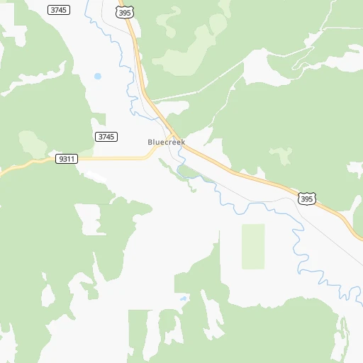
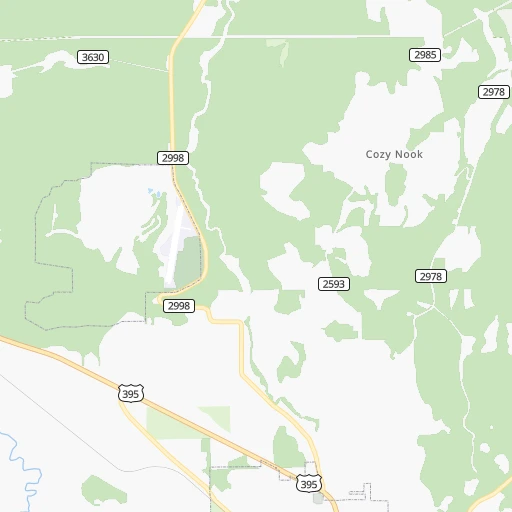
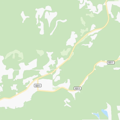
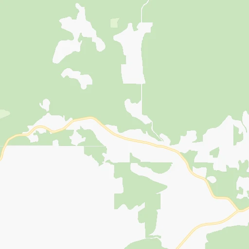
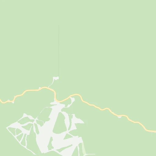
Roadmap (route) to go from Sand Canyon Airport to Rathdrum detailed above, you can also see the course layout on the map.
While doing trip Sand Canyon (airport) - Rathdrum by car, the calculated route ends at a distance , or more straight.
Distance and duration of the route between Sand Canyon (airport) and Rathdrum
Calculation of distance and route from Rathdrum to Sand Canyon (airport) :
84.1119.3 km2h38mn
Continue 0h1mn 575 mTurn right onto Sand Canyon Road 0h6mn 4.6 kmTurn left onto US 395 0h21mn 27.7 kmAt roundabout, take exit 2 0h14mn 16.3 kmAt roundabout, take exit 2 onto US 395 0h1mn 1.5 kmAt roundabout, take exit 2 onto US 395 0h15mn 21.1 kmKeep right toward US 2 0h1mn 697 mTurn right onto North Shady Slope Road 0h0mn 322 mContinue onto North Shady Slope Road 0h0mn 52 mTurn left onto East Farwell Road and take US 2 toward Spokane 0h1mn 1.4 kmTurn right onto North Market Street 0h1mn 716 mTurn left onto East Peone Foothills Road 0h4mn 3.9 kmTurn right onto North Bruce Road 0h5mn 5.4 kmTurn left onto East Bigelow Gulch Road 0h7mn 7.6 kmContinue onto North Sullivan Road 0h1mn 921 mTurn left toward WA-290 East 0h0mn 334 mContinue onto East Trent Avenue 0h2mn 2.9 kmAt roundabout, take exit 2 onto East Trent Avenue 0h18mn 23.3 kmArrive at destination 0h0mn 0 m
Travel from Sand Canyon (airport) (Idaho) to a selection of major cities.
Distances from Sand Canyon Airport to biggest cities in Washington
- Richland,54,248 inhabitants.254 km
- South Hill,52,431 inhabitants.363 km
- Sammamish,52,253 inhabitants.332 km
- Burien,50,467 inhabitants.356 km
- Olympia,50,302 inhabitants.412 km
- Lacey,46,409 inhabitants.407 km
- City of Sammamish,45,780 inhabitants.330 km
- Bothell,42,939 inhabitants.338 km
- Edmonds,41,375 inhabitants.349 km
- Puyallup,39,659 inhabitants.363 km
- Bremerton,39,520 inhabitants.374 km
- Lynnwood,36,997 inhabitants.345 km
- Longview,36,848 inhabitants.461 km
- Issaquah,36,081 inhabitants.332 km
- Parkland,35,803 inhabitants.374 km
- Mount Vernon,34,053 inhabitants.340 km
- West Lake Sammamish,33,929 inhabitants.335 km
- Wenatchee,33,636 inhabitants.216 km
- University Place,32,842 inhabitants.379 km
- Pullman,32,816 inhabitants.181 km
Other major cities in country :
- Charlotte [NC], 827,097 inhabitants. 3,350 km
- Denver [CO], 682,545 inhabitants. 1,394 km
- El Paso [TX], 681,124 inhabitants. 2,073 km
- Detroit [MI], 677,116 inhabitants. 2,771 km
- Boston [MA], 667,137 inhabitants. 3,654 km
- Memphis [TN], 655,770 inhabitants. 2,705 km
- New South Memphis [TN], 641,608 inhabitants. 2,709 km
- Portland [OR], 632,309 inhabitants. 487 km
- Oklahoma City [OK], 631,346 inhabitants. 2,191 km
- Las Vegas [NV], 623,747 inhabitants. 1,368 km
- Baltimore [MD], 621,849 inhabitants. 3,408 km
- Washington, D.C. [DC], 601,723 inhabitants. 3,399 km
- Milwaukee [WI], 600,155 inhabitants. 2,377 km
- South Boston [MA], 571,281 inhabitants. 3,656 km
- Albuquerque [NM], 559,121 inhabitants. 1,734 km
- Tucson [AZ], 531,641 inhabitants. 1,881 km
- Nashville [TN], 530,852 inhabitants. 2,860 km
- Fresno [CA], 520,052 inhabitants. 1,298 km
- Sacramento [CA], 490,712 inhabitants. 1,125 km
- Kansas City [MO], 475,378 inhabitants. 2,116 km
Route from Rathdrum to major cities (United States).
- Distance Rathdrum New York City3,462 km
- Distance Rathdrum Los Angeles1,536 km
- Distance Rathdrum Chicago2,386 km
- Distance Rathdrum Brooklyn3,470 km
- Distance Rathdrum Houston2,725 km
- Distance Rathdrum Queens3,477 km
- Distance Rathdrum Philadelphia3,416 km
- Distance Rathdrum Phoenix1,649 km
- Distance Rathdrum Manhattan3,462 km
- Distance Rathdrum San Antonio2,584 km
- Distance Rathdrum San Diego1,681 km
- Distance Rathdrum The Bronx3,466 km
- Distance Rathdrum Dallas2,376 km
- Distance Rathdrum San Jose1,235 km
- Distance Rathdrum Austin2,546 km
- Distance Rathdrum Jacksonville3,568 km
- Distance Rathdrum San Francisco1,204 km
- Distance Rathdrum Columbus2,830 km
- Distance Rathdrum Fort Worth2,350 km
- Distance Rathdrum Indianapolis2,607 km
Nearest cities to Sand Canyon (airport) :
- Spokane, 213,272 inhabitants. 77 km
- Spokane Valley, 94,919 inhabitants. 81 km
- Yakima, 93,701 inhabitants. 282 km
- Kennewick, 78,896 inhabitants. 257 km
- Pasco, 69,451 inhabitants. 253 km
- Richland, 54,248 inhabitants. 254 km
- Coeur d'Alene, 49,122 inhabitants. 101 km
- Wenatchee, 33,636 inhabitants. 216 km
- Pullman, 32,816 inhabitants. 181 km
- Lewiston, 32,544 inhabitants. 218 km
- Walla Walla, 32,237 inhabitants. 255 km
- Lewiston Orchards, 31,422 inhabitants. 223 km
- Post Falls, 30,453 inhabitants. 89 km
- Opportunity, 25,877 inhabitants. 83 km
- Moscow, 25,060 inhabitants. 185 km
- Moses Lake, 22,082 inhabitants. 175 km
- Ellensburg, 19,001 inhabitants. 257 km
- Hermiston, 17,201 inhabitants. 299 km
- Pendleton, 16,881 inhabitants. 305 km
- Sunnyside, 16,325 inhabitants. 280 km
- Hayden, 14,133 inhabitants. 94 km
- West Richland, 13,746 inhabitants. 255 km
- East Wenatchee, 13,659 inhabitants. 215 km
- La Grande, 13,074 inhabitants. 334 km
- West Valley, 12,655 inhabitants. 289 km
- Cheney, 11,534 inhabitants. 93 km
- Grandview, 11,176 inhabitants. 282 km
- Veradale, 9,991 inhabitants. 84 km
- Dishman, 9,978 inhabitants. 81 km
- College Place, 9,062 inhabitants. 257 km
- Toppenish, 8,995 inhabitants. 290 km
- Liberty Lake, 8,906 inhabitants. 85 km
- East Wenatchee Bench, 8,856 inhabitants. 214 km
- Ephrata, 8,047 inhabitants. 175 km
- Fairwood, 7,905 inhabitants. 66 km
- Sandpoint, 7,835 inhabitants. 88 km
- Othello, 7,809 inhabitants. 198 km
- Selah, 7,682 inhabitants. 280 km
- Rathdrum, 7,538 inhabitants. 84 km
- Quincy, 7,365 inhabitants. 199 km
- Clarkston, 7,317 inhabitants. 218 km
- Mead, 7,275 inhabitants. 67 km
- Milton-Freewater, 7,035 inhabitants. 270 km
- Umatilla, 7,009 inhabitants. 293 km
- Terrace Heights, 6,937 inhabitants. 278 km
- Airway Heights, 6,639 inhabitants. 76 km
- Clarkston Heights-Vineland, 6,326 inhabitants. 220 km
- Otis Orchards-East Farms, 6,220 inhabitants. 84 km
- Union Gap, 6,037 inhabitants. 284 km
- Finley, 6,012 inhabitants. 260 km
Location Sand Canyon (airport) (Washington) :
| Country flag |  |
| Location | Sand Canyon (airport) |
| State | Washington |
| County | Stevens County |
| Country | United States |
| Country code / ISO 2 | US |
| Latitude | 48.3156600 |
| Longitude | -117.7417500 |
| Altitude | 635 meters |
| Time zone | America/Los_Angeles |
Location Rathdrum (Idaho) :
| Country flag | |
| Location | Rathdrum |
| State | Idaho |
| County | Kootenai County |
| Country | United States |
| Country code / ISO 2 | US |
| Latitude | 47.8124000 |
| Longitude | -116.8965900 |
| Altitude | 674 meters |
| Time zone | America/Los_Angeles |