
How to get from Kennewick (Washington) to Lewiston (Idaho)
Calculate route from Kennewick (Washington, United States) to Lewiston (Idaho, United States).
The flight distance (as the crow flies) between Kennewick and Lewiston is 164.3 km.
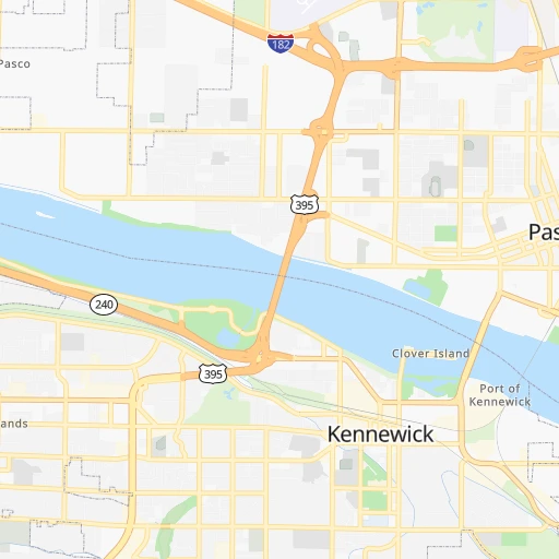
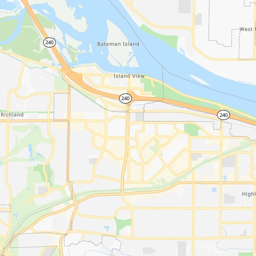
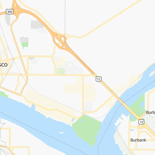
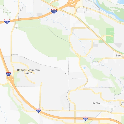
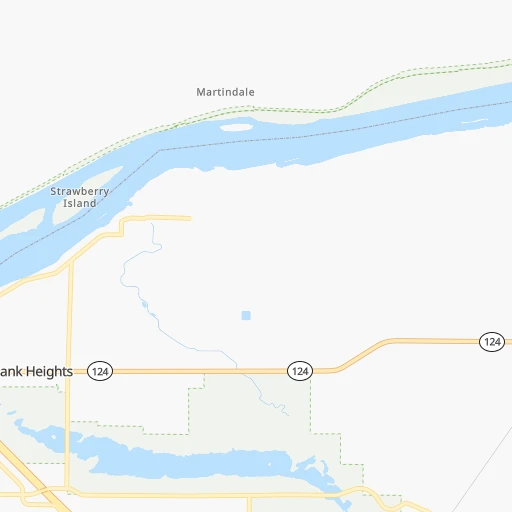
Roadmap (route) to go from Kennewick to Lewiston detailed above, you can also see the course layout on the map.
While doing trip Kennewick - Lewiston by car, the calculated route ends at a distance , or more straight.
Distance and duration of the route between Kennewick and Lewiston
Calculation of distance and route from Lewiston to Kennewick :
164.3209.7 km3h53mn
Continue onto North Newport Street 0h0mn 215 mTurn left onto West Kennewick Avenue 0h2mn 1.6 kmTurn left onto North Washington Street 0h1mn 377 mTurn right onto East Columbia Drive 0h1mn 751 mTurn left onto North Gum Street 0h2mn 1.7 kmTurn right onto West A Street 0h5mn 4.8 kmKeep right 0h3mn 3.0 kmKeep right and take WA 124 toward Burbank, Waitsburg 0h0mn 306 mKeep right and take WA 124 toward Waitsburg, Hood Park 0h0mn 161 mTurn slight right onto State Route 124 0h0mn 281 mAt roundabout, take exit 1 onto State Route 124 1h5mn 71.6 kmTurn right onto Main Street 0h0mn 45 mTurn left onto Preston Avenue 0h13mn 15.8 kmTurn left onto North 3rd Street 0h1mn 511 mTurn right onto East Dayton Avenue 0h1mn 591 mTurn left onto US 12 0h25mn 36.5 kmKeep right onto US 12 1h52mn 70.0 kmKeep left onto Main Street 0h2mn 929 mTurn right onto 9th Street 0h0mn 166 mTurn left onto Idaho Street 0h1mn 418 mArrive at destination 0h0mn 0 m
Travel from Kennewick (Idaho) to a selection of major cities.
Distances from Kennewick to biggest cities in Washington
- South Hill,52,431 inhabitants.261 km
- Sammamish,52,253 inhabitants.275 km
- Burien,50,467 inhabitants.282 km
- Olympia,50,302 inhabitants.302 km
- Lacey,46,409 inhabitants.296 km
- City of Sammamish,45,780 inhabitants.270 km
- Bothell,42,939 inhabitants.290 km
- Edmonds,41,375 inhabitants.304 km
- Puyallup,39,659 inhabitants.264 km
- Bremerton,39,520 inhabitants.306 km
- Lynnwood,36,997 inhabitants.300 km
- Longview,36,848 inhabitants.293 km
- Issaquah,36,081 inhabitants.265 km
- Parkland,35,803 inhabitants.273 km
- Mount Vernon,34,053 inhabitants.345 km
- West Lake Sammamish,33,929 inhabitants.272 km
- Wenatchee,33,636 inhabitants.162 km
- University Place,32,842 inhabitants.284 km
- Pullman,32,816 inhabitants.161 km
- Walla Walla,32,237 inhabitants.63 km
Other major cities in country :
- Charlotte [NC], 827,097 inhabitants. 3,415 km
- Denver [CO], 682,545 inhabitants. 1,356 km
- El Paso [TX], 681,124 inhabitants. 1,941 km
- Detroit [MI], 677,116 inhabitants. 2,884 km
- Boston [MA], 667,137 inhabitants. 3,796 km
- Memphis [TN], 655,770 inhabitants. 2,726 km
- New South Memphis [TN], 641,608 inhabitants. 2,729 km
- Portland [OR], 632,309 inhabitants. 285 km
- Oklahoma City [OK], 631,346 inhabitants. 2,167 km
- Las Vegas [NV], 623,747 inhabitants. 1,166 km
- Baltimore [MD], 621,849 inhabitants. 3,516 km
- Washington, D.C. [DC], 601,723 inhabitants. 3,504 km
- Milwaukee [WI], 600,155 inhabitants. 2,483 km
- South Boston [MA], 571,281 inhabitants. 3,798 km
- Albuquerque [NM], 559,121 inhabitants. 1,623 km
- Tucson [AZ], 531,641 inhabitants. 1,708 km
- Nashville [TN], 530,852 inhabitants. 2,907 km
- Fresno [CA], 520,052 inhabitants. 1,055 km
- Sacramento [CA], 490,712 inhabitants. 871 km
- Kansas City [MO], 475,378 inhabitants. 2,150 km
Route from Lewiston to major cities (United States).
- Distance Lewiston New York City3,483 km
- Distance Lewiston Los Angeles1,380 km
- Distance Lewiston Chicago2,386 km
- Distance Lewiston Brooklyn3,490 km
- Distance Lewiston Houston2,636 km
- Distance Lewiston Queens3,497 km
- Distance Lewiston Philadelphia3,431 km
- Distance Lewiston Phoenix1,503 km
- Distance Lewiston Manhattan3,482 km
- Distance Lewiston San Antonio2,482 km
- Distance Lewiston San Diego1,525 km
- Distance Lewiston The Bronx3,487 km
- Distance Lewiston Dallas2,292 km
- Distance Lewiston San Jose1,088 km
- Distance Lewiston Austin2,449 km
- Distance Lewiston Jacksonville3,526 km
- Distance Lewiston San Francisco1,060 km
- Distance Lewiston Columbus2,829 km
- Distance Lewiston Fort Worth2,264 km
- Distance Lewiston Indianapolis2,597 km
Nearest cities to Kennewick :
- Spokane, 213,272 inhabitants. 207 km
- Boise, 145,987 inhabitants. 370 km
- Spokane Valley, 94,919 inhabitants. 217 km
- Yakima, 93,701 inhabitants. 114 km
- Meridian, 90,739 inhabitants. 361 km
- Nampa, 89,839 inhabitants. 360 km
- Bend, 87,014 inhabitants. 294 km
- Kennewick, 78,896 inhabitants. 0 km
- Pasco, 69,451 inhabitants. 4 km
- Redmond, 60,598 inhabitants. 279 km
- Richland, 54,248 inhabitants. 14 km
- Sammamish, 52,253 inhabitants. 275 km
- Caldwell, 51,686 inhabitants. 343 km
- Coeur d'Alene, 49,122 inhabitants. 242 km
- City of Sammamish, 45,780 inhabitants. 270 km
- Issaquah, 36,081 inhabitants. 265 km
- West Lake Sammamish, 33,929 inhabitants. 272 km
- Wenatchee, 33,636 inhabitants. 162 km
- Pullman, 32,816 inhabitants. 161 km
- Lewiston, 32,544 inhabitants. 165 km
- Walla Walla, 32,237 inhabitants. 63 km
- Lewiston Orchards, 31,422 inhabitants. 167 km
- Lake Stevens, 30,886 inhabitants. 299 km
- Post Falls, 30,453 inhabitants. 236 km
- Redmond, 28,654 inhabitants. 268 km
- Opportunity, 25,877 inhabitants. 216 km
- Maple Valley, 25,686 inhabitants. 258 km
- Moscow, 25,060 inhabitants. 174 km
- Eagle, 23,612 inhabitants. 356 km
- Cottage Lake, 22,494 inhabitants. 281 km
- Moses Lake, 22,082 inhabitants. 103 km
- West Lake Stevens, 21,047 inhabitants. 300 km
- Covington, 19,197 inhabitants. 261 km
- Ellensburg, 19,001 inhabitants. 139 km
- Arlington, 18,949 inhabitants. 316 km
- Union Hill-Novelty Hill, 18,805 inhabitants. 274 km
- Monroe, 18,090 inhabitants. 282 km
- Kuna, 17,226 inhabitants. 371 km
- Hermiston, 17,201 inhabitants. 43 km
- Pendleton, 16,881 inhabitants. 66 km
- Sunnyside, 16,325 inhabitants. 68 km
- The Dalles, 15,340 inhabitants. 172 km
- Hayden, 14,133 inhabitants. 249 km
- West Richland, 13,746 inhabitants. 20 km
- East Wenatchee, 13,659 inhabitants. 160 km
- Snoqualmie, 13,169 inhabitants. 252 km
- La Grande, 13,074 inhabitants. 128 km
- West Valley, 12,655 inhabitants. 120 km
- Enumclaw, 11,609 inhabitants. 244 km
- Garden City, 11,550 inhabitants. 368 km
Location Kennewick (Washington) :
| Country flag |  |
| Location | Kennewick |
| State | Washington |
| County | Benton County |
| Country | United States |
| Country code / ISO 2 | US |
| Latitude | 46.2112500 |
| Longitude | -119.1372300 |
| Altitude | 124 meters |
| Time zone | America/Los_Angeles |
Location Lewiston (Idaho) :
| Country flag | |
| Location | Lewiston |
| State | Idaho |
| County | Nez Perce County |
| Country | United States |
| Country code / ISO 2 | US |
| Latitude | 46.4165500 |
| Longitude | -117.0176600 |
| Altitude | 227 meters |
| Time zone | America/Los_Angeles |


