


How to get from Dye Seed Ranch Inc. (airport) (Washington) to Lewiston (Idaho)
Calculate route from Dye Seed Ranch Inc. (airport) (Washington, United States) to Lewiston (Idaho, United States).
The flight distance (as the crow flies) between Dye Seed Ranch Inc. (airport) and Lewiston is 34.7 km.
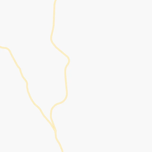
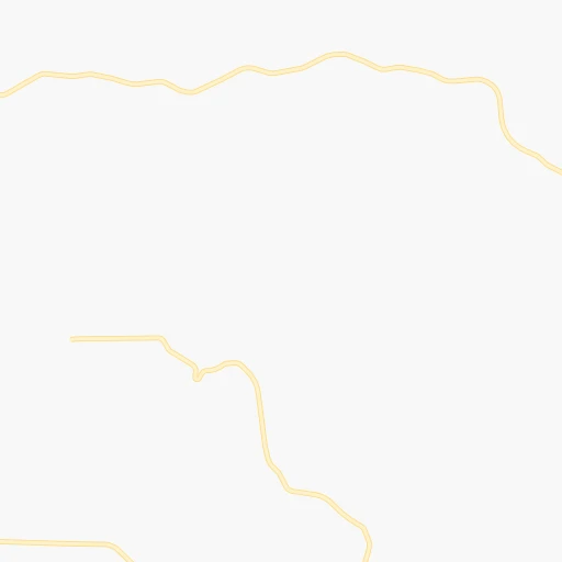
Roadmap (route) to go from Dye Seed Ranch Inc. Airport to Lewiston detailed above, you can also see the course layout on the map.
While doing trip Dye Seed Ranch Inc. (airport) - Lewiston by car, the calculated route ends at a distance , or more straight.
Distance and duration of the route between Dye Seed Ranch Inc. (airport) and Lewiston
Calculation of distance and route from Lewiston to Dye Seed Ranch Inc. (airport) :
34.751.4 km1h54mn
Continue 0h3mn 1.1 kmTurn right onto Connell Hill Road 0h0mn 171 mKeep left onto Connell Hill Road 0h14mn 6.8 kmTurn right onto Kirby Mayview Road 0h5mn 3.9 kmKeep left 0h4mn 3.7 kmTurn left onto US Highway 12 0h26mn 34.2 kmKeep left onto Main Street 0h2mn 929 mTurn right onto 9th Street 0h0mn 166 mTurn left onto Idaho Street 0h1mn 418 mArrive at destination 0h0mn 0 m
Travel from Dye Seed Ranch Inc. (airport) (Idaho) to a selection of major cities.
Distances from Dye Seed Ranch Inc. Airport to biggest cities in Washington
- Richland,54,248 inhabitants.143 km
- South Hill,52,431 inhabitants.374 km
- Sammamish,52,253 inhabitants.373 km
- Burien,50,467 inhabitants.387 km
- Olympia,50,302 inhabitants.420 km
- Lacey,46,409 inhabitants.414 km
- City of Sammamish,45,780 inhabitants.369 km
- Bothell,42,939 inhabitants.386 km
- Edmonds,41,375 inhabitants.400 km
- Puyallup,39,659 inhabitants.376 km
- Bremerton,39,520 inhabitants.410 km
- Lynnwood,36,997 inhabitants.396 km
- Longview,36,848 inhabitants.424 km
- Issaquah,36,081 inhabitants.366 km
- Parkland,35,803 inhabitants.386 km
- Mount Vernon,34,053 inhabitants.425 km
- West Lake Sammamish,33,929 inhabitants.372 km
- Wenatchee,33,636 inhabitants.240 km
- University Place,32,842 inhabitants.396 km
- Pullman,32,816 inhabitants.33 km
Other major cities in country :
- Charlotte [NC], 827,097 inhabitants. 3,291 km
- Denver [CO], 682,545 inhabitants. 1,260 km
- El Paso [TX], 681,124 inhabitants. 1,891 km
- Detroit [MI], 677,116 inhabitants. 2,752 km
- Boston [MA], 667,137 inhabitants. 3,663 km
- Memphis [TN], 655,770 inhabitants. 2,613 km
- New South Memphis [TN], 641,608 inhabitants. 2,616 km
- Portland [OR], 632,309 inhabitants. 418 km
- Oklahoma City [OK], 631,346 inhabitants. 2,068 km
- Las Vegas [NV], 623,747 inhabitants. 1,166 km
- Baltimore [MD], 621,849 inhabitants. 3,386 km
- Washington, D.C. [DC], 601,723 inhabitants. 3,373 km
- Milwaukee [WI], 600,155 inhabitants. 2,352 km
- South Boston [MA], 571,281 inhabitants. 3,665 km
- Albuquerque [NM], 559,121 inhabitants. 1,560 km
- Tucson [AZ], 531,641 inhabitants. 1,685 km
- Nashville [TN], 530,852 inhabitants. 2,787 km
- Fresno [CA], 520,052 inhabitants. 1,103 km
- Sacramento [CA], 490,712 inhabitants. 942 km
- Kansas City [MO], 475,378 inhabitants. 2,032 km
Route from Lewiston to major cities (United States).
- Distance Lewiston New York City3,483 km
- Distance Lewiston Los Angeles1,380 km
- Distance Lewiston Chicago2,386 km
- Distance Lewiston Brooklyn3,490 km
- Distance Lewiston Houston2,636 km
- Distance Lewiston Queens3,497 km
- Distance Lewiston Philadelphia3,431 km
- Distance Lewiston Phoenix1,503 km
- Distance Lewiston Manhattan3,482 km
- Distance Lewiston San Antonio2,482 km
- Distance Lewiston San Diego1,525 km
- Distance Lewiston The Bronx3,487 km
- Distance Lewiston Dallas2,292 km
- Distance Lewiston San Jose1,088 km
- Distance Lewiston Austin2,449 km
- Distance Lewiston Jacksonville3,526 km
- Distance Lewiston San Francisco1,060 km
- Distance Lewiston Columbus2,829 km
- Distance Lewiston Fort Worth2,264 km
- Distance Lewiston Indianapolis2,597 km
Nearest cities to Dye Seed Ranch Inc. (airport) :
- Spokane, 213,272 inhabitants. 128 km
- Boise, 145,987 inhabitants. 337 km
- Spokane Valley, 94,919 inhabitants. 131 km
- Meridian, 90,739 inhabitants. 333 km
- Nampa, 89,839 inhabitants. 337 km
- Kennewick, 78,896 inhabitants. 134 km
- Pasco, 69,451 inhabitants. 130 km
- Richland, 54,248 inhabitants. 143 km
- Caldwell, 51,686 inhabitants. 322 km
- Coeur d'Alene, 49,122 inhabitants. 140 km
- Wenatchee, 33,636 inhabitants. 240 km
- Pullman, 32,816 inhabitants. 33 km
- Lewiston, 32,544 inhabitants. 35 km
- Walla Walla, 32,237 inhabitants. 84 km
- Lewiston Orchards, 31,422 inhabitants. 39 km
- Post Falls, 30,453 inhabitants. 140 km
- Opportunity, 25,877 inhabitants. 128 km
- Moscow, 25,060 inhabitants. 43 km
- Eagle, 23,612 inhabitants. 324 km
- Moses Lake, 22,082 inhabitants. 156 km
- Hermiston, 17,201 inhabitants. 160 km
- Pendleton, 16,881 inhabitants. 139 km
- Sunnyside, 16,325 inhabitants. 197 km
- Hayden, 14,133 inhabitants. 149 km
- West Richland, 13,746 inhabitants. 148 km
- East Wenatchee, 13,659 inhabitants. 238 km
- La Grande, 13,074 inhabitants. 140 km
- Garden City, 11,550 inhabitants. 335 km
- Cheney, 11,534 inhabitants. 110 km
- Grandview, 11,176 inhabitants. 190 km
- Ontario, 10,999 inhabitants. 279 km
- Veradale, 9,991 inhabitants. 129 km
- Dishman, 9,978 inhabitants. 129 km
- Baker City, 9,752 inhabitants. 195 km
- College Place, 9,062 inhabitants. 88 km
- Toppenish, 8,995 inhabitants. 220 km
- Liberty Lake, 8,906 inhabitants. 133 km
- East Wenatchee Bench, 8,856 inhabitants. 238 km
- Ephrata, 8,047 inhabitants. 184 km
- Fairwood, 7,905 inhabitants. 140 km
- Sandpoint, 7,835 inhabitants. 208 km
- Othello, 7,809 inhabitants. 136 km
- Star, 7,797 inhabitants. 322 km
- Rathdrum, 7,538 inhabitants. 151 km
- Payette, 7,380 inhabitants. 273 km
- Quincy, 7,365 inhabitants. 200 km
- Clarkston, 7,317 inhabitants. 33 km
- Mead, 7,275 inhabitants. 141 km
- Milton-Freewater, 7,035 inhabitants. 96 km
- Umatilla, 7,009 inhabitants. 160 km
Location Dye Seed Ranch Inc. (airport) (Washington) :
| Country flag |  |
| Location | Dye Seed Ranch Inc. (airport) |
| State | Washington |
| County | Garfield County |
| Country | United States |
| Country code / ISO 2 | US |
| Latitude | 46.5055500 |
| Longitude | -117.4520200 |
| Altitude | 769 meters |
| Time zone | America/Los_Angeles |
Location Lewiston (Idaho) :
| Country flag | |
| Location | Lewiston |
| State | Idaho |
| County | Nez Perce County |
| Country | United States |
| Country code / ISO 2 | US |
| Latitude | 46.4165500 |
| Longitude | -117.0176600 |
| Altitude | 227 meters |
| Time zone | America/Los_Angeles |


