


How to get from Bandera State (airport) (Washington) to Edmonds (Washington)
Calculate route from Bandera State (airport) (Washington, United States) to Edmonds (Washington, United States).
The flight distance (as the crow flies) between Bandera State (airport) and Edmonds is 78.1 km.
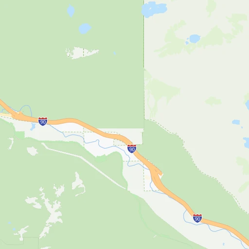
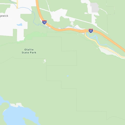
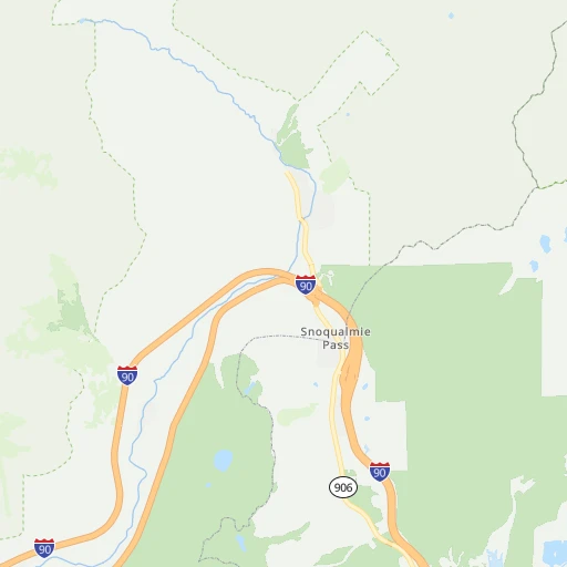
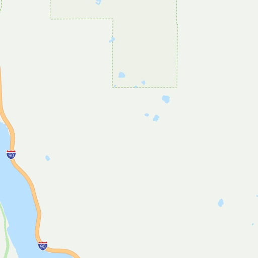
Roadmap (route) to go from Bandera State Airport to Edmonds detailed above, you can also see the course layout on the map.
While doing trip Bandera State (airport) - Edmonds by car, the calculated route ends at a distance , or more straight.
Distance and duration of the route between Bandera State (airport) and Edmonds
Calculation of distance and route from Edmonds to Bandera State (airport) :
78.197.2 km1h9mn
Continue onto I 90 0h0mn 309 mKeep right and drive toward USFS Road 9030 0h0mn 477 mTurn left onto Forest Road 9030 0h0mn 128 mTurn left and take I 90 West toward Seattle 1h35mn 56.9 kmKeep right and take I 405 toward Renton, Everett 0h0mn 464 mKeep right and take I 405 North toward Everett, Bellevue 0h4mn 5.0 kmKeep right and take WA 520 toward Seattle, Redmond 0h1mn 838 mKeep left and take WA 520 West toward Seattle 0h8mn 11.1 kmKeep right and take I 5 North toward Vancouver British Columbia, Roanoke Street 0h0mn 124 mKeep left and take I 5 North toward Vancouver British Columbia 0h9mn 12.8 kmKeep right and drive toward Northeast 175th Street, Shoreline 0h0mn 301 mTurn left onto Northeast 175th Street 0h1mn 445 mTurn right onto Meridian Avenue North 0h3mn 2.4 kmTurn left onto North 205th Street - Lake Ballinger Way 0h0mn 215 mKeep right onto Edmonds Way 0h4mn 4.0 kmContinue onto Edmonds Way 0h3mn 1.7 kmTurn right onto Main Street 0h0mn 12 mTurn left onto Main Street 0h0mn 8 mTurn right onto 5th Avenue North 0h0mn 8 mArrive at destination 0h0mn 0 m
Travel from Bandera State (airport) (Washington) to a selection of major cities.
Distances from Bandera State Airport to biggest cities in Washington
- Richland,54,248 inhabitants.211 km
- South Hill,52,431 inhabitants.62 km
- Sammamish,52,253 inhabitants.49 km
- Burien,50,467 inhabitants.62 km
- Olympia,50,302 inhabitants.111 km
- Lacey,46,409 inhabitants.105 km
- City of Sammamish,45,780 inhabitants.44 km
- Bothell,42,939 inhabitants.65 km
- Edmonds,41,375 inhabitants.78 km
- Puyallup,39,659 inhabitants.62 km
- Bremerton,39,520 inhabitants.85 km
- Lynnwood,36,997 inhabitants.75 km
- Longview,36,848 inhabitants.176 km
- Issaquah,36,081 inhabitants.40 km
- Parkland,35,803 inhabitants.73 km
- Mount Vernon,34,053 inhabitants.129 km
- West Lake Sammamish,33,929 inhabitants.47 km
- Wenatchee,33,636 inhabitants.92 km
- University Place,32,842 inhabitants.79 km
- Pullman,32,816 inhabitants.339 km
Other major cities in country :
- Charlotte [NC], 827,097 inhabitants. 3,613 km
- Denver [CO], 682,545 inhabitants. 1,579 km
- El Paso [TX], 681,124 inhabitants. 2,159 km
- Detroit [MI], 677,116 inhabitants. 3,057 km
- Boston [MA], 667,137 inhabitants. 3,950 km
- Memphis [TN], 655,770 inhabitants. 2,938 km
- New South Memphis [TN], 641,608 inhabitants. 2,942 km
- Portland [OR], 632,309 inhabitants. 226 km
- Oklahoma City [OK], 631,346 inhabitants. 2,389 km
- Las Vegas [NV], 623,747 inhabitants. 1,356 km
- Baltimore [MD], 621,849 inhabitants. 3,692 km
- Washington, D.C. [DC], 601,723 inhabitants. 3,682 km
- Milwaukee [WI], 600,155 inhabitants. 2,660 km
- South Boston [MA], 571,281 inhabitants. 3,952 km
- Albuquerque [NM], 559,121 inhabitants. 1,846 km
- Tucson [AZ], 531,641 inhabitants. 1,913 km
- Nashville [TN], 530,852 inhabitants. 3,111 km
- Fresno [CA], 520,052 inhabitants. 1,194 km
- Sacramento [CA], 490,712 inhabitants. 981 km
- Kansas City [MO], 475,378 inhabitants. 2,358 km
Route from Edmonds to major cities (United States).
- Distance Edmonds New York City3,871 km
- Distance Edmonds Los Angeles1,570 km
- Distance Edmonds Chicago2,795 km
- Distance Edmonds Brooklyn3,878 km
- Distance Edmonds Houston3,059 km
- Distance Edmonds Queens3,885 km
- Distance Edmonds Philadelphia3,825 km
- Distance Edmonds Phoenix1,817 km
- Distance Edmonds Manhattan3,870 km
- Distance Edmonds San Antonio2,893 km
- Distance Edmonds San Diego1,737 km
- Distance Edmonds The Bronx3,874 km
- Distance Edmonds Dallas2,719 km
- Distance Edmonds San Jose1,166 km
- Distance Edmonds Austin2,866 km
- Distance Edmonds Jacksonville3,959 km
- Distance Edmonds San Francisco1,117 km
- Distance Edmonds Columbus3,239 km
- Distance Edmonds Fort Worth2,690 km
- Distance Edmonds Indianapolis3,014 km
Nearest cities to Bandera State (airport) :
- Seattle, 684,451 inhabitants. 64 km
- Portland, 632,309 inhabitants. 226 km
- Tacoma, 207,948 inhabitants. 70 km
- Vancouver, 172,860 inhabitants. 214 km
- Salem, 164,549 inhabitants. 296 km
- Bellevue, 139,820 inhabitants. 55 km
- Kent, 126,952 inhabitants. 53 km
- Gresham, 110,553 inhabitants. 222 km
- Everett, 108,010 inhabitants. 82 km
- Hillsboro, 102,347 inhabitants. 236 km
- Renton, 100,242 inhabitants. 52 km
- Beaverton, 96,577 inhabitants. 234 km
- Federal Way, 95,171 inhabitants. 59 km
- Yakima, 93,701 inhabitants. 118 km
- Kirkland, 87,281 inhabitants. 60 km
- Bellingham, 85,146 inhabitants. 168 km
- Kennewick, 78,896 inhabitants. 225 km
- Auburn, 77,006 inhabitants. 53 km
- Pasco, 69,451 inhabitants. 226 km
- Marysville, 66,773 inhabitants. 87 km
- Redmond, 60,598 inhabitants. 54 km
- Lakewood, 59,829 inhabitants. 78 km
- Corvallis, 55,780 inhabitants. 342 km
- Shoreline, 55,439 inhabitants. 73 km
- Richland, 54,248 inhabitants. 211 km
- South Hill, 52,431 inhabitants. 62 km
- Sammamish, 52,253 inhabitants. 49 km
- Albany, 52,175 inhabitants. 330 km
- Tigard, 51,253 inhabitants. 238 km
- Burien, 50,467 inhabitants. 62 km
- Olympia, 50,302 inhabitants. 111 km
- Aloha, 49,425 inhabitants. 235 km
- Lacey, 46,409 inhabitants. 105 km
- City of Sammamish, 45,780 inhabitants. 44 km
- Bothell, 42,939 inhabitants. 65 km
- Edmonds, 41,375 inhabitants. 78 km
- Puyallup, 39,659 inhabitants. 62 km
- Bremerton, 39,520 inhabitants. 85 km
- Lake Oswego, 38,496 inhabitants. 236 km
- Keizer, 37,895 inhabitants. 291 km
- Lynnwood, 36,997 inhabitants. 75 km
- Longview, 36,848 inhabitants. 176 km
- Issaquah, 36,081 inhabitants. 40 km
- Oregon City, 35,831 inhabitants. 241 km
- Parkland, 35,803 inhabitants. 73 km
- Mount Vernon, 34,053 inhabitants. 129 km
- West Lake Sammamish, 33,929 inhabitants. 47 km
- McMinnville, 33,892 inhabitants. 275 km
- Wenatchee, 33,636 inhabitants. 92 km
- University Place, 32,842 inhabitants. 79 km
Location Bandera State (airport) (Washington) :
| Country flag |  |
| Location | Bandera State (airport) |
| State | Washington |
| County | King County |
| Country | United States |
| Country code / ISO 2 | US |
| Latitude | 47.3956700 |
| Longitude | -121.5367600 |
| Altitude | 494 meters |
| Time zone | America/Los_Angeles |
Location Edmonds (Washington) :
| Country flag | |
| Location | Edmonds |
| State | Washington |
| County | Snohomish County |
| Country | United States |
| Country code / ISO 2 | US |
| Latitude | 47.8106500 |
| Longitude | -122.3773600 |
| Altitude | 20 meters |
| Time zone | America/Los_Angeles |


