

How to get from Toledo State (airport) (Oregon) to Longview (Washington)
Calculate route from Toledo State (airport) (Oregon, United States) to Longview (Washington, United States).
The flight distance (as the crow flies) between Toledo State (airport) and Longview is 187.8 km.
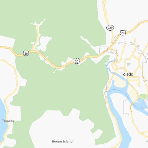
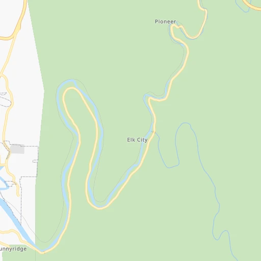
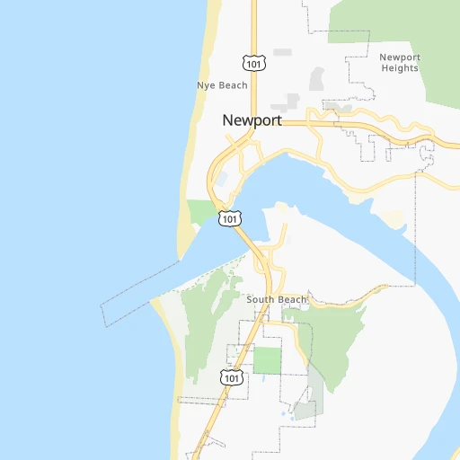
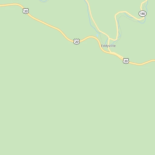
Roadmap (route) to go from Toledo State Airport to Longview detailed above, you can also see the course layout on the map.
While doing trip Toledo State (airport) - Longview by car, the calculated route ends at a distance , or more straight.
Distance and duration of the route between Toledo State (airport) and Longview
Calculation of distance and route from Longview to Toledo State (airport) :
187.8274.4 km3h28mn
Continue 0h0mn 112 mTurn left 0h0mn 92 mTurn slight left 0h0mn 8 mTurn left onto South Bay Road 0h3mn 2.4 kmTurn right onto Southeast 2nd Street 0h0mn 20 mTurn left onto South Main Street 0h0mn 243 mTurn right onto Northeast 1st Street 0h0mn 112 mTurn left onto Northeast Alder Street 0h0mn 20 mTurn right onto Old US Highway 20 0h3mn 3.2 kmKeep right onto US 20 Business 0h0mn 192 mTurn slight right onto Corvallis Newport Highway 1h35mn 47.2 kmTurn left onto Priest Road 0h2mn 1.5 kmTurn left onto Kings Valley Highway 0h11mn 11.4 kmTurn right onto Maxfield Creek Road 0h12mn 11.9 kmTurn right onto Airlie Road 0h7mn 9.4 kmTurn left onto South Pacific Highway West 0h9mn 11.7 kmTurn right onto Main Street East and drive toward Independence 0h3mn 3.8 kmTurn left onto South Main Street 0h9mn 10.2 kmKeep right onto Salem Dallas Highway Northwest and take OR 22 East toward Salem 0h6mn 7.9 kmKeep right onto Center Street Bridge and take OR 99E Business South toward City Center, Albany 0h1mn 900 mKeep left and take OR 99E Business North toward Keizer, Portland 0h0mn 215 mTurn right onto Front Street Northeast 0h0mn 177 mKeep left 0h0mn 48 mTurn slight left onto Front Street Northeast 0h2mn 1.8 kmTurn right onto Pine Street Northeast 0h0mn 209 mTurn left onto Liberty Street Northeast 0h1mn 446 mTurn right onto Doctor Martin Luther King Junior Parkway 0h4mn 4.9 kmKeep left onto I 5 and take I 5 North toward Portland 1h43mn 63.9 kmKeep right onto I 5 and drive toward Seattle 0h9mn 10.9 kmKeep right and drive toward Victory Boulevard, Expo Center 1h39mn 61.9 kmKeep right and take WA 432 West toward Talley Way, Kelso Drive 0h0mn 312 mKeep left and take WA 432 West toward Talley Way, Longview 0h4mn 5.2 kmKeep right 0h0mn 36 mTurn slight right onto 7th Avenue 0h1mn 463 mTurn left onto Delaware Street 0h1mn 521 mTurn right onto 12th Avenue 0h1mn 607 mTurn left onto Hemlock Street 0h0mn 316 mTurn right onto 15th Avenue 0h0mn 119 mKeep left onto Olympia Way 0h0mn 151 mArrive at destination 0h0mn 0 m
Travel from Toledo State (airport) (Washington) to a selection of major cities.
Distances from Toledo State Airport to biggest cities in Oregon
- West Linn,26,593 inhabitants.135 km
- Woodburn,25,173 inhabitants.105 km
- Forest Grove,23,897 inhabitants.121 km
- Newberg,22,780 inhabitants.109 km
- Wilsonville,22,729 inhabitants.120 km
- Roseburg,22,114 inhabitants.161 km
- Klamath Falls,21,399 inhabitants.317 km
- Ashland,20,861 inhabitants.286 km
- Milwaukie,20,830 inhabitants.139 km
- Bethany,20,646 inhabitants.136 km
- Lents,20,156 inhabitants.146 km
Other major cities in country :
- Charlotte [NC], 827,097 inhabitants. 3,777 km
- Seattle [WA], 684,451 inhabitants. 357 km
- Denver [CO], 682,545 inhabitants. 1,650 km
- El Paso [TX], 681,124 inhabitants. 2,084 km
- Detroit [MI], 677,116 inhabitants. 3,279 km
- Boston [MA], 667,137 inhabitants. 4,203 km
- Memphis [TN], 655,770 inhabitants. 3,054 km
- New South Memphis [TN], 641,608 inhabitants. 3,057 km
- Oklahoma City [OK], 631,346 inhabitants. 2,457 km
- Las Vegas [NV], 623,747 inhabitants. 1,197 km
- Baltimore [MD], 621,849 inhabitants. 3,907 km
- Washington, D.C. [DC], 601,723 inhabitants. 3,892 km
- Milwaukee [WI], 600,155 inhabitants. 2,876 km
- South Boston [MA], 571,281 inhabitants. 4,205 km
- Albuquerque [NM], 559,121 inhabitants. 1,812 km
- Tucson [AZ], 531,641 inhabitants. 1,781 km
- Nashville [TN], 530,852 inhabitants. 3,256 km
- Fresno [CA], 520,052 inhabitants. 942 km
- Sacramento [CA], 490,712 inhabitants. 700 km
- Kansas City [MO], 475,378 inhabitants. 2,496 km
Route from Longview to major cities (United States).
- Distance Longview New York City3,938 km
- Distance Longview Los Angeles1,403 km
- Distance Longview Chicago2,842 km
- Distance Longview Brooklyn3,946 km
- Distance Longview Houston3,004 km
- Distance Longview Queens3,953 km
- Distance Longview Philadelphia3,887 km
- Distance Longview Phoenix1,687 km
- Distance Longview Manhattan3,938 km
- Distance Longview San Antonio2,823 km
- Distance Longview San Diego1,573 km
- Distance Longview The Bronx3,942 km
- Distance Longview Dallas2,674 km
- Distance Longview San Jose983 km
- Distance Longview Austin2,804 km
- Distance Longview Jacksonville3,958 km
- Distance Longview San Francisco932 km
- Distance Longview Columbus3,285 km
- Distance Longview Fort Worth2,642 km
- Distance Longview Indianapolis3,050 km
Nearest cities to Toledo State (airport) :
- Portland, 632,309 inhabitants. 143 km
- Tacoma, 207,948 inhabitants. 317 km
- Vancouver, 172,860 inhabitants. 153 km
- Salem, 164,549 inhabitants. 81 km
- Eugene, 163,460 inhabitants. 91 km
- Kent, 126,952 inhabitants. 336 km
- Gresham, 110,553 inhabitants. 155 km
- Hillsboro, 102,347 inhabitants. 127 km
- Renton, 100,242 inhabitants. 347 km
- Beaverton, 96,577 inhabitants. 133 km
- Federal Way, 95,171 inhabitants. 328 km
- Bend, 87,014 inhabitants. 217 km
- Medford, 79,805 inhabitants. 267 km
- Auburn, 77,006 inhabitants. 329 km
- Springfield, 60,870 inhabitants. 96 km
- Lakewood, 59,829 inhabitants. 307 km
- Corvallis, 55,780 inhabitants. 54 km
- South Hill, 52,431 inhabitants. 311 km
- Albany, 52,175 inhabitants. 66 km
- Tigard, 51,253 inhabitants. 130 km
- Burien, 50,467 inhabitants. 342 km
- Olympia, 50,302 inhabitants. 283 km
- Aloha, 49,425 inhabitants. 130 km
- Lacey, 46,409 inhabitants. 284 km
- Puyallup, 39,659 inhabitants. 315 km
- Bremerton, 39,520 inhabitants. 345 km
- Lake Oswego, 38,496 inhabitants. 135 km
- Keizer, 37,895 inhabitants. 84 km
- Grants Pass, 37,088 inhabitants. 246 km
- Longview, 36,848 inhabitants. 188 km
- Issaquah, 36,081 inhabitants. 358 km
- Oregon City, 35,831 inhabitants. 135 km
- Parkland, 35,803 inhabitants. 307 km
- West Lake Sammamish, 33,929 inhabitants. 360 km
- McMinnville, 33,892 inhabitants. 89 km
- University Place, 32,842 inhabitants. 312 km
- Des Moines, 31,221 inhabitants. 336 km
- East Hill-Meridian, 29,878 inhabitants. 341 km
- Redmond, 28,654 inhabitants. 223 km
- SeaTac, 28,215 inhabitants. 342 km
- Spanaway, 27,227 inhabitants. 302 km
- Tualatin, 27,154 inhabitants. 127 km
- West Linn, 26,593 inhabitants. 135 km
- Maple Valley, 25,686 inhabitants. 343 km
- Woodburn, 25,173 inhabitants. 105 km
- Mercer Island, 25,042 inhabitants. 356 km
- Forest Grove, 23,897 inhabitants. 121 km
- Graham, 23,491 inhabitants. 301 km
- Newberg, 22,780 inhabitants. 109 km
- Wilsonville, 22,729 inhabitants. 120 km
Location Toledo State (airport) (Oregon) :
| Country flag |  |
| Location | Toledo State (airport) |
| State | Oregon |
| County | Lincoln County |
| Country | United States |
| Country code / ISO 2 | US |
| Latitude | 44.6009700 |
| Longitude | -123.9388500 |
| Altitude | 3 meters |
| Time zone | America/Los_Angeles |
Location Longview (Washington) :
| Country flag | |
| Location | Longview |
| State | Washington |
| County | Cowlitz County |
| Country | United States |
| Country code / ISO 2 | US |
| Latitude | 46.1381700 |
| Longitude | -122.9381700 |
| Altitude | 6 meters |
| Time zone | America/Los_Angeles |


