
How to get from Crow-Mag (airport) (Oregon) to Graham (Washington)
Calculate route from Crow-Mag (airport) (Oregon, United States) to Graham (Washington, United States).
The flight distance (as the crow flies) between Crow-Mag (airport) and Graham is 343.0 km.
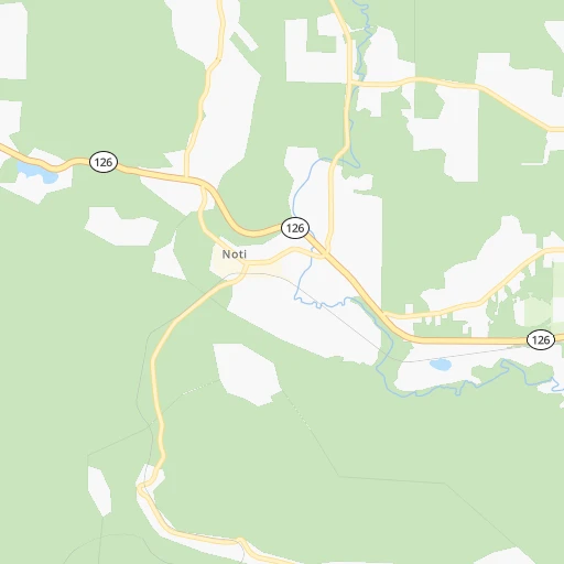
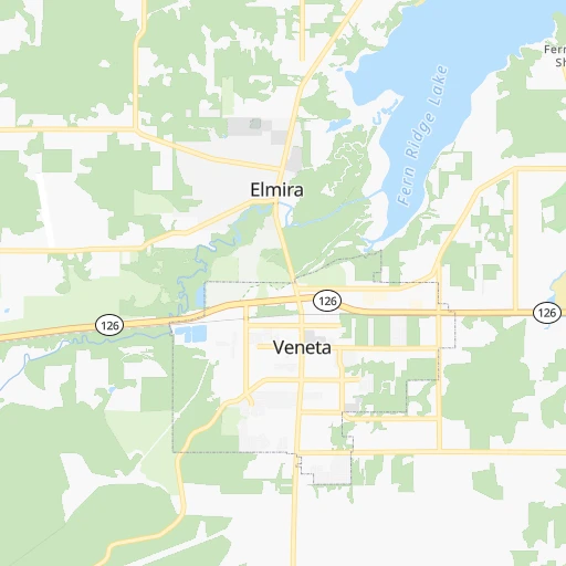
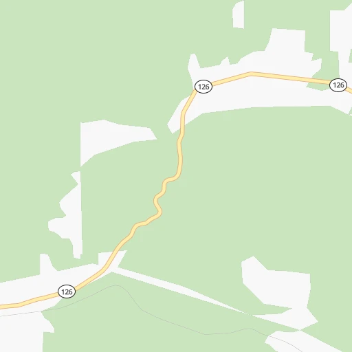
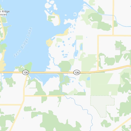
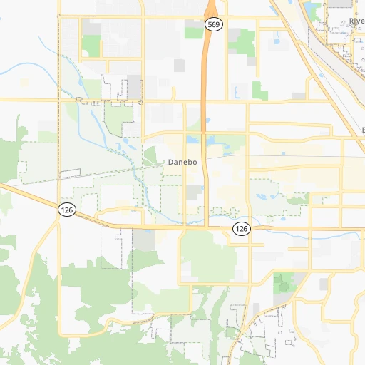
Roadmap (route) to go from Crow-Mag Airport to Graham detailed above, you can also see the course layout on the map.
While doing trip Crow-Mag (airport) - Graham by car, the calculated route ends at a distance , or more straight.
Distance and duration of the route between Crow-Mag (airport) and Graham
Calculation of distance and route from Graham to Crow-Mag (airport) :
343.0416.8 km5h59mn
Continue onto Evers Road 0h1mn 411 mTurn left onto Suttle Road 0h3mn 2.7 kmTurn left onto Territorial Highway 0h11mn 11.4 kmTurn right onto Applegate Trail 0h5mn 4.2 kmTurn right onto Highway 36 0h5mn 6.3 kmTurn left onto Highway 99S 0h21mn 25.0 kmTurn right onto Halsey-Sweet Home Highway 0h4mn 4.0 kmTurn left 1h29mn 133.7 kmKeep right onto I 5 and drive toward Seattle 0h9mn 10.9 kmKeep right and drive toward Victory Boulevard, Expo Center 1h29mn 145.0 kmKeep right and take US 12 West toward Aberdeen, Tenino 0h0mn 456 mTurn right onto Old Highway 99 Southwest 1h32mn 35.7 kmTurn right onto East Yelm Avenue 0h5mn 4.6 kmTurn right onto State Route 702 South 0h12mn 14.9 kmTurn left onto Mountain Highway East 0h4mn 4.8 kmTurn right onto 304th Street East 0h4mn 4.6 kmTurn left onto Meridian East 0h6mn 8.1 kmTurn right onto 224th Street East 0h0mn 39 mArrive at destination 0h0mn 0 m
Travel from Crow-Mag (airport) (Washington) to a selection of major cities.
Distances from Crow-Mag Airport to biggest cities in Oregon
- West Linn,26,593 inhabitants.158 km
- Woodburn,25,173 inhabitants.128 km
- Forest Grove,23,897 inhabitants.164 km
- Newberg,22,780 inhabitants.142 km
- Wilsonville,22,729 inhabitants.146 km
- Roseburg,22,114 inhabitants.94 km
- Klamath Falls,21,399 inhabitants.243 km
- Ashland,20,861 inhabitants.215 km
- Milwaukie,20,830 inhabitants.165 km
- Bethany,20,646 inhabitants.171 km
- Lents,20,156 inhabitants.171 km
Other major cities in country :
- Charlotte [NC], 827,097 inhabitants. 3,733 km
- Seattle [WA], 684,451 inhabitants. 403 km
- Denver [CO], 682,545 inhabitants. 1,595 km
- El Paso [TX], 681,124 inhabitants. 2,013 km
- Detroit [MI], 677,116 inhabitants. 3,247 km
- Boston [MA], 667,137 inhabitants. 4,178 km
- Memphis [TN], 655,770 inhabitants. 3,003 km
- New South Memphis [TN], 641,608 inhabitants. 3,006 km
- Oklahoma City [OK], 631,346 inhabitants. 2,399 km
- Las Vegas [NV], 623,747 inhabitants. 1,123 km
- Baltimore [MD], 621,849 inhabitants. 3,873 km
- Washington, D.C. [DC], 601,723 inhabitants. 3,857 km
- Milwaukee [WI], 600,155 inhabitants. 2,843 km
- South Boston [MA], 571,281 inhabitants. 4,179 km
- Albuquerque [NM], 559,121 inhabitants. 1,745 km
- Tucson [AZ], 531,641 inhabitants. 1,707 km
- Nashville [TN], 530,852 inhabitants. 3,209 km
- Fresno [CA], 520,052 inhabitants. 870 km
- Sacramento [CA], 490,712 inhabitants. 630 km
- Kansas City [MO], 475,378 inhabitants. 2,449 km
Route from Graham to major cities (United States).
- Distance Graham New York City3,875 km
- Distance Graham Los Angeles1,487 km
- Distance Graham Chicago2,789 km
- Distance Graham Brooklyn3,882 km
- Distance Graham Houston3,010 km
- Distance Graham Queens3,889 km
- Distance Graham Philadelphia3,826 km
- Distance Graham Phoenix1,742 km
- Distance Graham Manhattan3,874 km
- Distance Graham San Antonio2,839 km
- Distance Graham San Diego1,654 km
- Distance Graham The Bronx3,878 km
- Distance Graham Dallas2,674 km
- Distance Graham San Jose1,082 km
- Distance Graham Austin2,815 km
- Distance Graham Jacksonville3,932 km
- Distance Graham San Francisco1,033 km
- Distance Graham Columbus3,233 km
- Distance Graham Fort Worth2,644 km
- Distance Graham Indianapolis3,003 km
Nearest cities to Crow-Mag (airport) :
- Portland, 632,309 inhabitants. 172 km
- Vancouver, 172,860 inhabitants. 185 km
- Salem, 164,549 inhabitants. 102 km
- Eugene, 163,460 inhabitants. 24 km
- Gresham, 110,553 inhabitants. 177 km
- Hillsboro, 102,347 inhabitants. 166 km
- Beaverton, 96,577 inhabitants. 165 km
- Yakima, 93,701 inhabitants. 362 km
- Bend, 87,014 inhabitants. 166 km
- Medford, 79,805 inhabitants. 198 km
- Springfield, 60,870 inhabitants. 30 km
- Corvallis, 55,780 inhabitants. 57 km
- Albany, 52,175 inhabitants. 68 km
- Tigard, 51,253 inhabitants. 160 km
- Olympia, 50,302 inhabitants. 333 km
- Aloha, 49,425 inhabitants. 165 km
- Lacey, 46,409 inhabitants. 334 km
- Lake Oswego, 38,496 inhabitants. 162 km
- Keizer, 37,895 inhabitants. 107 km
- Grants Pass, 37,088 inhabitants. 181 km
- Longview, 36,848 inhabitants. 234 km
- Oregon City, 35,831 inhabitants. 157 km
- McMinnville, 33,892 inhabitants. 129 km
- Redmond, 28,654 inhabitants. 179 km
- Tualatin, 27,154 inhabitants. 155 km
- West Linn, 26,593 inhabitants. 158 km
- Woodburn, 25,173 inhabitants. 128 km
- Forest Grove, 23,897 inhabitants. 164 km
- Graham, 23,491 inhabitants. 344 km
- Newberg, 22,780 inhabitants. 142 km
- Wilsonville, 22,729 inhabitants. 146 km
- Roseburg, 22,114 inhabitants. 94 km
- Camas, 21,846 inhabitants. 187 km
- Klamath Falls, 21,399 inhabitants. 243 km
- Ashland, 20,861 inhabitants. 215 km
- Milwaukie, 20,830 inhabitants. 165 km
- Bethany, 20,646 inhabitants. 171 km
- Lents, 20,156 inhabitants. 171 km
- Hayesville, 19,936 inhabitants. 108 km
- Salmon Creek, 19,686 inhabitants. 193 km
- Orchards, 19,556 inhabitants. 190 km
- Hazel Dell, 19,435 inhabitants. 188 km
- Battle Ground, 19,407 inhabitants. 203 km
- Sherwood, 19,283 inhabitants. 150 km
- Altamont, 19,257 inhabitants. 247 km
- Tumwater, 19,190 inhabitants. 330 km
- Ellensburg, 19,001 inhabitants. 395 km
- Happy Valley, 18,493 inhabitants. 168 km
- Five Corners, 18,159 inhabitants. 192 km
- Central Point, 17,995 inhabitants. 192 km
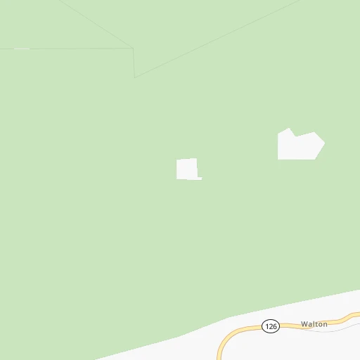
Location Crow-Mag (airport) (Oregon) :
| Country flag |  |
| Location | Crow-Mag (airport) |
| State | Oregon |
| County | Lane County |
| Country | United States |
| Country code / ISO 2 | US |
| Latitude | 44.0632300 |
| Longitude | -123.3921300 |
| Altitude | 129 meters |
| Time zone | America/Los_Angeles |
Location Graham (Washington) :
| Country flag | |
| Location | Graham |
| State | Washington |
| County | Pierce County |
| Country | United States |
| Country code / ISO 2 | US |
| Latitude | 47.0528800 |
| Longitude | -122.2942800 |
| Altitude | 186 meters |
| Time zone | America/Los_Angeles |