

How to get from Chandler Airstrip (Oregon) to Grandview (Washington)
Calculate route from Chandler Airstrip (Oregon, United States) to Grandview (Washington, United States).
The flight distance (as the crow flies) between Chandler Airstrip and Grandview is 171.2 km.
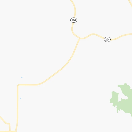
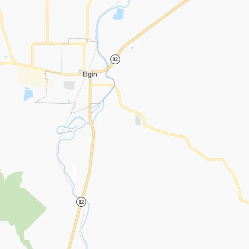
Roadmap (route) to go from Chandler Airstrip to Grandview detailed above, you can also see the course layout on the map.
While doing trip Chandler Airstrip - Grandview by car, the calculated route ends at a distance , or more straight.
Distance and duration of the route between Chandler Airstrip and Grandview
Calculation of distance and route from Grandview to Chandler Airstrip :
171.2218.0 km3h13mn
Continue onto Baltimore Street 0h0mn 145 mTurn left onto North 10th Avenue 0h0mn 160 mTurn right onto Division Street 1h40mn 40.4 kmKeep right onto Co 603 Road 1h38mn 18.9 kmTurn slight left onto Walla Walla River Road 0h7mn 5.9 kmTurn right onto South Main Street 0h1mn 1.2 kmKeep right onto South Columbia Street 0h7mn 7.6 kmTurn left onto Stateline Road 0h1mn 1.3 kmTurn right onto Old Milton Highway 0h1mn 1.3 kmTurn left onto Springdale Road 0h1mn 876 mTurn right onto Beet Road 0h2mn 1.5 kmTurn right onto Frog Hollow Road 0h0mn 448 mTurn left onto Mission Road 0h3mn 2.4 kmTurn right onto Last Chance Road 0h2mn 2.2 kmTurn left onto Old Highway 12 0h0mn 450 mTurn right onto Spalding Road 0h0mn 309 mTurn left onto US 12 0h13mn 20.8 kmContinue onto US 12 0h11mn 15.5 kmKeep right 0h24mn 30.7 kmKeep left onto I 182, US 12 toward I 182, US 12 0h11mn 18.9 kmKeep right onto US 12 and take I 82 West, US 12 West toward Prosser, Yakima 0h26mn 43.9 kmKeep right and drive toward County Line Road, Grandview 0h0mn 499 mTurn sharp left onto McCreadie Road 0h0mn 368 mAt roundabout, take exit 1 onto East Wine Country Road 0h1mn 1.1 kmTurn left onto South Elm Street 0h0mn 135 mTurn right onto East 2nd Street 0h1mn 572 mTurn left onto Division Street 0h1mn 411 mTurn left onto East Old Prosser Road 0h0mn 26 mArrive at destination 0h0mn 0 m
Travel from Chandler Airstrip (Washington) to a selection of major cities.
Distances from Chandler Airstrip to biggest cities in Oregon
- West Linn,26,593 inhabitants.367 km
- Woodburn,25,173 inhabitants.389 km
- Forest Grove,23,897 inhabitants.405 km
- Newberg,22,780 inhabitants.396 km
- Wilsonville,22,729 inhabitants.380 km
- Roseburg,22,114 inhabitants.504 km
- Klamath Falls,21,399 inhabitants.484 km
- Ashland,20,861 inhabitants.537 km
- Milwaukie,20,830 inhabitants.369 km
- Bethany,20,646 inhabitants.386 km
- Lents,20,156 inhabitants.363 km
Other major cities in country :
- Charlotte [NC], 827,097 inhabitants. 3,312 km
- Seattle [WA], 684,451 inhabitants. 407 km
- Denver [CO], 682,545 inhabitants. 1,240 km
- El Paso [TX], 681,124 inhabitants. 1,826 km
- Detroit [MI], 677,116 inhabitants. 2,796 km
- Boston [MA], 667,137 inhabitants. 3,718 km
- Memphis [TN], 655,770 inhabitants. 2,615 km
- New South Memphis [TN], 641,608 inhabitants. 2,618 km
- Oklahoma City [OK], 631,346 inhabitants. 2,051 km
- Las Vegas [NV], 623,747 inhabitants. 1,071 km
- Baltimore [MD], 621,849 inhabitants. 3,426 km
- Washington, D.C. [DC], 601,723 inhabitants. 3,412 km
- Milwaukee [WI], 600,155 inhabitants. 2,393 km
- South Boston [MA], 571,281 inhabitants. 3,720 km
- Albuquerque [NM], 559,121 inhabitants. 1,505 km
- Tucson [AZ], 531,641 inhabitants. 1,603 km
- Nashville [TN], 530,852 inhabitants. 2,800 km
- Fresno [CA], 520,052 inhabitants. 994 km
- Sacramento [CA], 490,712 inhabitants. 832 km
- Kansas City [MO], 475,378 inhabitants. 2,042 km
Route from Grandview to major cities (United States).
- Distance Grandview New York City3,705 km
- Distance Grandview Los Angeles1,365 km
- Distance Grandview Chicago2,608 km
- Distance Grandview Brooklyn3,712 km
- Distance Grandview Houston2,808 km
- Distance Grandview Queens3,719 km
- Distance Grandview Philadelphia3,653 km
- Distance Grandview Phoenix1,572 km
- Distance Grandview Manhattan3,705 km
- Distance Grandview San Antonio2,639 km
- Distance Grandview San Diego1,525 km
- Distance Grandview The Bronx3,709 km
- Distance Grandview Dallas2,471 km
- Distance Grandview San Jose1,006 km
- Distance Grandview Austin2,613 km
- Distance Grandview Jacksonville3,733 km
- Distance Grandview San Francisco966 km
- Distance Grandview Columbus3,050 km
- Distance Grandview Fort Worth2,441 km
- Distance Grandview Indianapolis2,817 km
Nearest cities to Chandler Airstrip :
- Spokane, 213,272 inhabitants. 236 km
- Boise, 145,987 inhabitants. 256 km
- Spokane Valley, 94,919 inhabitants. 240 km
- Yakima, 93,701 inhabitants. 231 km
- Meridian, 90,739 inhabitants. 249 km
- Nampa, 89,839 inhabitants. 250 km
- Kennewick, 78,896 inhabitants. 119 km
- Pasco, 69,451 inhabitants. 118 km
- Richland, 54,248 inhabitants. 133 km
- Caldwell, 51,686 inhabitants. 233 km
- Coeur d'Alene, 49,122 inhabitants. 251 km
- Wenatchee, 33,636 inhabitants. 276 km
- Pullman, 32,816 inhabitants. 142 km
- Lewiston, 32,544 inhabitants. 117 km
- Walla Walla, 32,237 inhabitants. 65 km
- Lewiston Orchards, 31,422 inhabitants. 116 km
- Post Falls, 30,453 inhabitants. 251 km
- Opportunity, 25,877 inhabitants. 238 km
- Moscow, 25,060 inhabitants. 148 km
- Eagle, 23,612 inhabitants. 242 km
- Moses Lake, 22,082 inhabitants. 203 km
- Ellensburg, 19,001 inhabitants. 257 km
- Kuna, 17,226 inhabitants. 260 km
- Hermiston, 17,201 inhabitants. 111 km
- Pendleton, 16,881 inhabitants. 69 km
- Sunnyside, 16,325 inhabitants. 182 km
- Hayden, 14,133 inhabitants. 260 km
- West Richland, 13,746 inhabitants. 139 km
- Mountain Home, 13,730 inhabitants. 324 km
- East Wenatchee, 13,659 inhabitants. 275 km
- La Grande, 13,074 inhabitants. 30 km
- West Valley, 12,655 inhabitants. 237 km
- Garden City, 11,550 inhabitants. 254 km
- Cheney, 11,534 inhabitants. 215 km
- Grandview, 11,176 inhabitants. 172 km
- Ontario, 10,999 inhabitants. 187 km
- Veradale, 9,991 inhabitants. 238 km
- Dishman, 9,978 inhabitants. 238 km
- Baker City, 9,752 inhabitants. 88 km
- Prineville, 9,530 inhabitants. 270 km
- College Place, 9,062 inhabitants. 65 km
- Toppenish, 8,995 inhabitants. 206 km
- Liberty Lake, 8,906 inhabitants. 243 km
- East Wenatchee Bench, 8,856 inhabitants. 275 km
- Ephrata, 8,047 inhabitants. 232 km
- Fairwood, 7,905 inhabitants. 248 km
- Sandpoint, 7,835 inhabitants. 319 km
- Othello, 7,809 inhabitants. 170 km
- Star, 7,797 inhabitants. 237 km
- Selah, 7,682 inhabitants. 235 km
Location Chandler Airstrip (Oregon) :
| Country flag |  |
| Location | Chandler Airstrip |
| State | Oregon |
| County | Union County |
| Country | United States |
| Country code / ISO 2 | US |
| Latitude | 45.5665300 |
| Longitude | -117.9177100 |
| Altitude | 815 meters |
| Time zone | America/Los_Angeles |
Location Grandview (Washington) :
| Country flag | |
| Location | Grandview |
| State | Washington |
| County | Yakima County |
| Country | United States |
| Country code / ISO 2 | US |
| Latitude | 46.2509700 |
| Longitude | -119.9017000 |
| Altitude | 245 meters |
| Time zone | America/Los_Angeles |
