
How to get from Calvert Peak (airport) (Oregon) to Lebanon (Oregon)
Calculate route from Calvert Peak (airport) (Oregon, United States) to Lebanon (Oregon, United States).
The flight distance (as the crow flies) between Calvert Peak (airport) and Lebanon is 206.2 km.
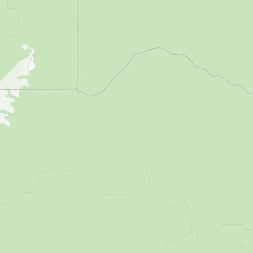
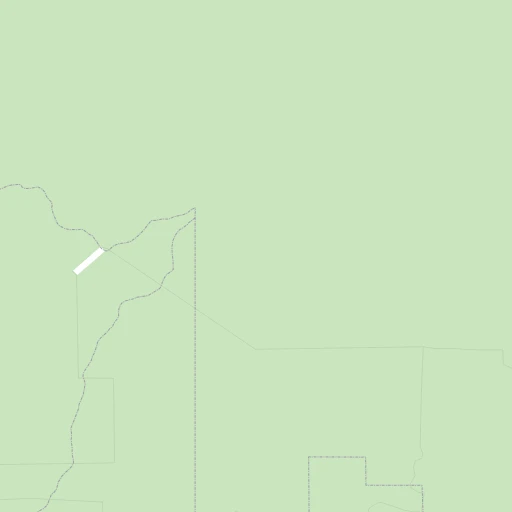
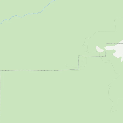
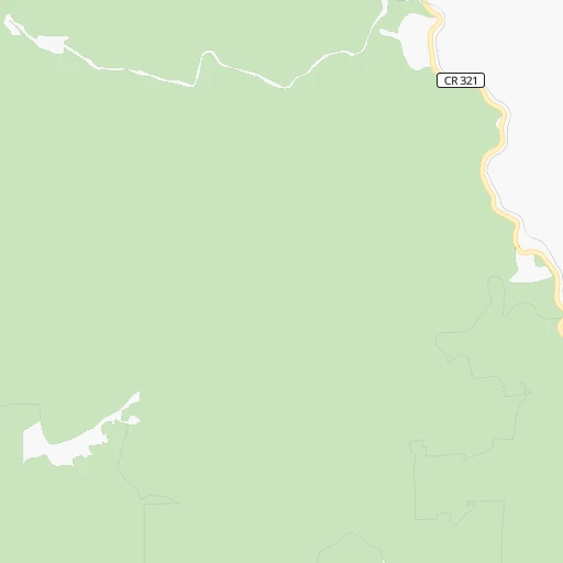
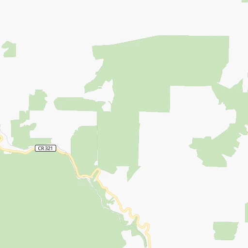
Roadmap (route) to go from Calvert Peak Airport to Lebanon detailed above, you can also see the course layout on the map.
While doing trip Calvert Peak (airport) - Lebanon by car, the calculated route ends at a distance , or more straight.
Distance and duration of the route between Calvert Peak (airport) and Lebanon
Calculation of distance and route from Lebanon to Calvert Peak (airport) :
206.2268.3 km4h16mn
Continue onto Calvert Airstrip 0h5mn 1.2 kmTurn right onto Kelsey Mule Road 0h1mn 431 mKeep left onto Bobby Creek Access Road 0h20mn 10.1 kmTurn sharp right onto West Fork Cow Creek Road 0h13mn 6.3 kmTurn left onto Cow Creek Road 1h2mn 31.0 kmContinue onto Riddle Bypass Road 0h9mn 8.5 kmContinue onto Pruner Road 0h1mn 1.2 kmTurn left 2h56mn 180.7 kmKeep right and take OR 228 toward Halsey, Brownsville 0h0mn 376 mTurn right onto Halsey-Sweet Home Highway 0h5mn 6.0 kmTurn left onto Main Street 0h1mn 879 mTurn left onto Main Street 0h10mn 10.1 kmTurn right onto Rockhill Drive 0h6mn 5.6 kmTurn left onto Rock Hill Road 0h4mn 3.7 kmTurn right onto South Airport Road 0h1mn 773 mTurn left onto South 2nd Street 0h1mn 1.1 kmTurn right onto West Oak Street 0h0mn 60 mTurn left 0h0mn 20 mTurn right 0h0mn 60 mTurn right onto South Main Street 0h0mn 13 mArrive at destination 0h0mn 0 m
Travel from Calvert Peak (airport) (Oregon) to a selection of major cities.
Distances from Calvert Peak Airport to biggest cities in Oregon
- West Linn,26,593 inhabitants.302 km
- Woodburn,25,173 inhabitants.272 km
- Forest Grove,23,897 inhabitants.309 km
- Newberg,22,780 inhabitants.287 km
- Wilsonville,22,729 inhabitants.291 km
- Roseburg,22,114 inhabitants.58 km
- Klamath Falls,21,399 inhabitants.172 km
- Ashland,20,861 inhabitants.106 km
- Milwaukie,20,830 inhabitants.309 km
- Bethany,20,646 inhabitants.317 km
- Lents,20,156 inhabitants.315 km
Other major cities in country :
- Charlotte [NC], 827,097 inhabitants. 3,762 km
- Seattle [WA], 684,451 inhabitants. 548 km
- Denver [CO], 682,545 inhabitants. 1,601 km
- El Paso [TX], 681,124 inhabitants. 1,953 km
- Detroit [MI], 677,116 inhabitants. 3,304 km
- Boston [MA], 667,137 inhabitants. 4,246 km
- Memphis [TN], 655,770 inhabitants. 3,014 km
- New South Memphis [TN], 641,608 inhabitants. 3,017 km
- Oklahoma City [OK], 631,346 inhabitants. 2,394 km
- Las Vegas [NV], 623,747 inhabitants. 1,041 km
- Baltimore [MD], 621,849 inhabitants. 3,924 km
- Washington, D.C. [DC], 601,723 inhabitants. 3,906 km
- Milwaukee [WI], 600,155 inhabitants. 2,899 km
- South Boston [MA], 571,281 inhabitants. 4,248 km
- Albuquerque [NM], 559,121 inhabitants. 1,705 km
- Tucson [AZ], 531,641 inhabitants. 1,627 km
- Nashville [TN], 530,852 inhabitants. 3,232 km
- Fresno [CA], 520,052 inhabitants. 752 km
- Sacramento [CA], 490,712 inhabitants. 504 km
- Kansas City [MO], 475,378 inhabitants. 2,473 km
Route from Lebanon to major cities (United States).
- Distance Lebanon New York City3,968 km
- Distance Lebanon Los Angeles1,234 km
- Distance Lebanon Chicago2,855 km
- Distance Lebanon Brooklyn3,975 km
- Distance Lebanon Houston2,923 km
- Distance Lebanon Queens3,982 km
- Distance Lebanon Philadelphia3,911 km
- Distance Lebanon Phoenix1,547 km
- Distance Lebanon Manhattan3,968 km
- Distance Lebanon San Antonio2,728 km
- Distance Lebanon San Diego1,407 km
- Distance Lebanon The Bronx3,973 km
- Distance Lebanon Dallas2,602 km
- Distance Lebanon San Jose806 km
- Distance Lebanon Austin2,716 km
- Distance Lebanon Jacksonville3,923 km
- Distance Lebanon San Francisco754 km
- Distance Lebanon Columbus3,294 km
- Distance Lebanon Fort Worth2,568 km
- Distance Lebanon Indianapolis3,052 km
Nearest cities to Calvert Peak (airport) :
- Portland, 632,309 inhabitants. 317 km
- Vancouver, 172,860 inhabitants. 330 km
- Salem, 164,549 inhabitants. 247 km
- Eugene, 163,460 inhabitants. 151 km
- Gresham, 110,553 inhabitants. 320 km
- Hillsboro, 102,347 inhabitants. 311 km
- Beaverton, 96,577 inhabitants. 310 km
- Redding, 91,582 inhabitants. 268 km
- Bend, 87,014 inhabitants. 242 km
- Medford, 79,805 inhabitants. 87 km
- Springfield, 60,870 inhabitants. 152 km
- Corvallis, 55,780 inhabitants. 202 km
- Albany, 52,175 inhabitants. 213 km
- Tigard, 51,253 inhabitants. 305 km
- Aloha, 49,425 inhabitants. 310 km
- Lake Oswego, 38,496 inhabitants. 306 km
- Keizer, 37,895 inhabitants. 253 km
- Grants Pass, 37,088 inhabitants. 50 km
- Oregon City, 35,831 inhabitants. 301 km
- McMinnville, 33,892 inhabitants. 274 km
- Redmond, 28,654 inhabitants. 265 km
- Tualatin, 27,154 inhabitants. 300 km
- Eureka, 27,017 inhabitants. 223 km
- West Linn, 26,593 inhabitants. 302 km
- Woodburn, 25,173 inhabitants. 272 km
- Forest Grove, 23,897 inhabitants. 309 km
- Newberg, 22,780 inhabitants. 287 km
- Wilsonville, 22,729 inhabitants. 291 km
- Roseburg, 22,114 inhabitants. 58 km
- Camas, 21,846 inhabitants. 330 km
- Klamath Falls, 21,399 inhabitants. 172 km
- Ashland, 20,861 inhabitants. 106 km
- Milwaukie, 20,830 inhabitants. 309 km
- Bethany, 20,646 inhabitants. 317 km
- Lents, 20,156 inhabitants. 315 km
- Hayesville, 19,936 inhabitants. 253 km
- Salmon Creek, 19,686 inhabitants. 338 km
- Orchards, 19,556 inhabitants. 335 km
- Hazel Dell, 19,435 inhabitants. 333 km
- Sherwood, 19,283 inhabitants. 296 km
- Altamont, 19,257 inhabitants. 176 km
- Happy Valley, 18,493 inhabitants. 312 km
- Five Corners, 18,159 inhabitants. 336 km
- Central Point, 17,995 inhabitants. 81 km
- Arcata, 17,843 inhabitants. 215 km
- Canby, 17,271 inhabitants. 289 km
- Bayside, 17,132 inhabitants. 217 km
- Troutdale, 16,631 inhabitants. 325 km
- Oak Grove, 16,629 inhabitants. 306 km
- Lebanon, 16,324 inhabitants. 207 km
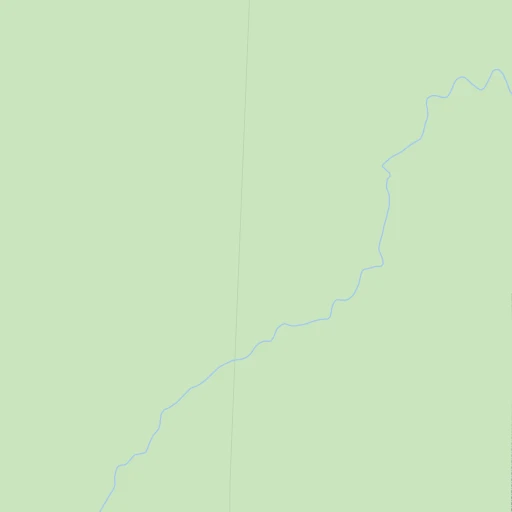
Location Calvert Peak (airport) (Oregon) :
| Country flag |  |
| Location | Calvert Peak (airport) |
| State | Oregon |
| County | Curry County |
| Country | United States |
| Country code / ISO 2 | US |
| Latitude | 42.7794800 |
| Longitude | -123.7334500 |
| Altitude | 1158 meters |
| Time zone | America/Los_Angeles |
Location Lebanon (Oregon) :
| Country flag | |
| Location | Lebanon |
| State | Oregon |
| County | Linn County |
| Country | United States |
| Country code / ISO 2 | US |
| Latitude | 44.5365100 |
| Longitude | -122.9070300 |
| Altitude | 108 meters |
| Time zone | America/Los_Angeles |
