

How to get from Aeroacres (airport) (Oregon) to Albany (Oregon)
Calculate route from Aeroacres (airport) (Oregon, United States) to Albany (Oregon, United States).
The flight distance (as the crow flies) between Aeroacres (airport) and Albany is 85.3 km.
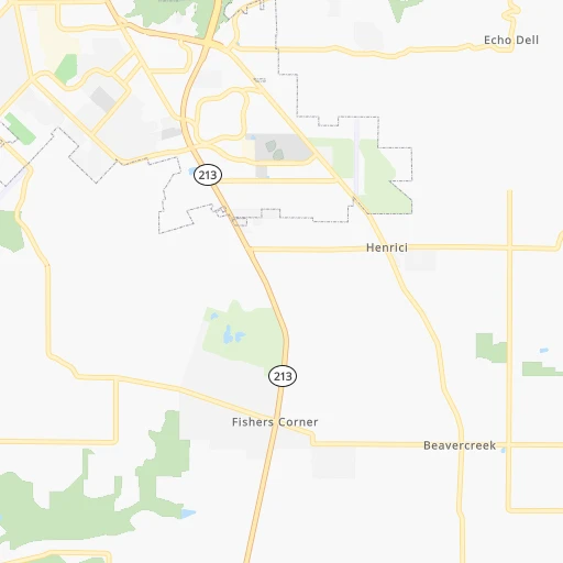
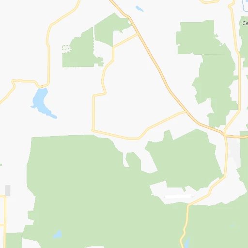
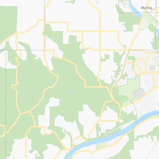
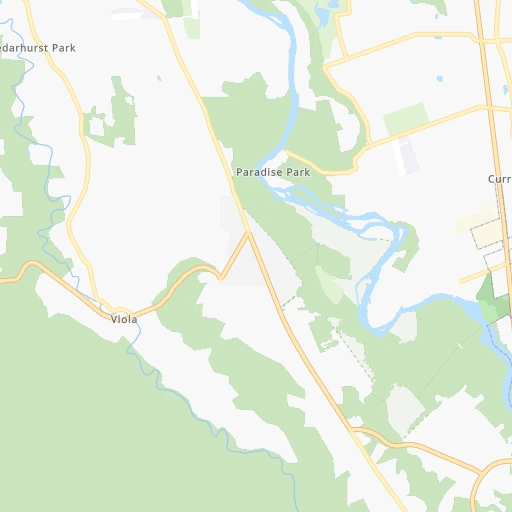
Roadmap (route) to go from Aeroacres Airport to Albany detailed above, you can also see the course layout on the map.
While doing trip Aeroacres (airport) - Albany by car, the calculated route ends at a distance , or more straight.
Distance and duration of the route between Aeroacres (airport) and Albany
Calculation of distance and route from Albany to Aeroacres (airport) :
85.397.7 km1h14mn
Continue 0h0mn 13 mTurn sharp right onto South Leland Road 0h2mn 1.5 kmTurn right onto South Criteser Road 0h4mn 2.0 kmTurn left onto South Central Point Road 0h1mn 911 mTurn right onto South New Era Road 0h3mn 3.2 kmTurn sharp right onto South Haines Road 0h0mn 50 mTurn left onto South Highway 99E 0h5mn 5.7 kmTurn slight right onto Southwest Pacific Highway East 0h4mn 4.5 kmTurn right onto Ehlen Road Northeast and take I 5 toward Donald 0h4mn 4.4 kmTurn left onto I 5 and take I 5 South toward Salem 1h46mn 71.3 kmKeep right onto OR 99E and take OR 99E toward Albany 0h1mn 607 mTurn slight right onto Pacific Boulevard Southeast 0h0mn 13 mKeep right 0h0mn 65 mTurn slight right onto Albany Avenue 0h0mn 89 mTurn left onto Salem Avenue Southeast 0h3mn 2.1 kmAt roundabout, take exit 1 onto Main Street Southeast 0h0mn 154 mTurn left onto 1st Avenue East 0h1mn 1.1 kmTurn left onto Ellsworth Street Southwest, Albany-Corvallis Highway 0h0mn 86 mTurn left onto 2nd Avenue Southwest 0h0mn 7 mArrive at destination 0h0mn 0 m
Travel from Aeroacres (airport) (Oregon) to a selection of major cities.
Distances from Aeroacres Airport to biggest cities in Oregon
- West Linn,26,593 inhabitants.5 km
- Woodburn,25,173 inhabitants.28 km
- Forest Grove,23,897 inhabitants.46 km
- Newberg,22,780 inhabitants.29 km
- Wilsonville,22,729 inhabitants.13 km
- Roseburg,22,114 inhabitants.241 km
- Klamath Falls,21,399 inhabitants.350 km
- Ashland,20,861 inhabitants.348 km
- Milwaukie,20,830 inhabitants.15 km
- Bethany,20,646 inhabitants.34 km
- Lents,20,156 inhabitants.18 km
Other major cities in country :
- Charlotte [NC], 827,097 inhabitants. 3,674 km
- Seattle [WA], 684,451 inhabitants. 256 km
- Denver [CO], 682,545 inhabitants. 1,569 km
- El Paso [TX], 681,124 inhabitants. 2,053 km
- Detroit [MI], 677,116 inhabitants. 3,162 km
- Boston [MA], 667,137 inhabitants. 4,081 km
- Memphis [TN], 655,770 inhabitants. 2,964 km
- New South Memphis [TN], 641,608 inhabitants. 2,967 km
- Oklahoma City [OK], 631,346 inhabitants. 2,379 km
- Las Vegas [NV], 623,747 inhabitants. 1,196 km
- Baltimore [MD], 621,849 inhabitants. 3,793 km
- Washington, D.C. [DC], 601,723 inhabitants. 3,779 km
- Milwaukee [WI], 600,155 inhabitants. 2,760 km
- South Boston [MA], 571,281 inhabitants. 4,083 km
- Albuquerque [NM], 559,121 inhabitants. 1,765 km
- Tucson [AZ], 531,641 inhabitants. 1,771 km
- Nashville [TN], 530,852 inhabitants. 3,158 km
- Fresno [CA], 520,052 inhabitants. 983 km
- Sacramento [CA], 490,712 inhabitants. 755 km
- Kansas City [MO], 475,378 inhabitants. 2,398 km
Route from Albany to major cities (United States).
- Distance Albany New York City3,981 km
- Distance Albany Los Angeles1,250 km
- Distance Albany Chicago2,869 km
- Distance Albany Brooklyn3,988 km
- Distance Albany Houston2,942 km
- Distance Albany Queens3,996 km
- Distance Albany Philadelphia3,925 km
- Distance Albany Phoenix1,566 km
- Distance Albany Manhattan3,981 km
- Distance Albany San Antonio2,747 km
- Distance Albany San Diego1,423 km
- Distance Albany The Bronx3,986 km
- Distance Albany Dallas2,621 km
- Distance Albany San Jose819 km
- Distance Albany Austin2,735 km
- Distance Albany Jacksonville3,940 km
- Distance Albany San Francisco766 km
- Distance Albany Columbus3,309 km
- Distance Albany Fort Worth2,587 km
- Distance Albany Indianapolis3,068 km
Nearest cities to Aeroacres (airport) :
- Seattle, 684,451 inhabitants. 256 km
- Portland, 632,309 inhabitants. 24 km
- Tacoma, 207,948 inhabitants. 216 km
- Vancouver, 172,860 inhabitants. 36 km
- Salem, 164,549 inhabitants. 54 km
- Eugene, 163,460 inhabitants. 146 km
- Bellevue, 139,820 inhabitants. 257 km
- Kent, 126,952 inhabitants. 232 km
- Gresham, 110,553 inhabitants. 24 km
- Everett, 108,010 inhabitants. 298 km
- Hillsboro, 102,347 inhabitants. 38 km
- Renton, 100,242 inhabitants. 243 km
- Beaverton, 96,577 inhabitants. 25 km
- Federal Way, 95,171 inhabitants. 224 km
- Yakima, 93,701 inhabitants. 216 km
- Kirkland, 87,281 inhabitants. 265 km
- Bend, 87,014 inhabitants. 173 km
- Medford, 79,805 inhabitants. 334 km
- Auburn, 77,006 inhabitants. 223 km
- Marysville, 66,773 inhabitants. 306 km
- Springfield, 60,870 inhabitants. 145 km
- Redmond, 60,598 inhabitants. 265 km
- Lakewood, 59,829 inhabitants. 207 km
- Corvallis, 55,780 inhabitants. 99 km
- Shoreline, 55,439 inhabitants. 272 km
- South Hill, 52,431 inhabitants. 205 km
- Sammamish, 52,253 inhabitants. 262 km
- Albany, 52,175 inhabitants. 85 km
- Tigard, 51,253 inhabitants. 18 km
- Burien, 50,467 inhabitants. 241 km
- Olympia, 50,302 inhabitants. 193 km
- Aloha, 49,425 inhabitants. 29 km
- Lacey, 46,409 inhabitants. 192 km
- City of Sammamish, 45,780 inhabitants. 258 km
- Bothell, 42,939 inhabitants. 274 km
- Edmonds, 41,375 inhabitants. 278 km
- Puyallup, 39,659 inhabitants. 209 km
- Bremerton, 39,520 inhabitants. 251 km
- Lake Oswego, 38,496 inhabitants. 13 km
- Keizer, 37,895 inhabitants. 49 km
- Grants Pass, 37,088 inhabitants. 326 km
- Lynnwood, 36,997 inhabitants. 280 km
- Longview, 36,848 inhabitants. 95 km
- Issaquah, 36,081 inhabitants. 250 km
- Oregon City, 35,831 inhabitants. 5 km
- Parkland, 35,803 inhabitants. 205 km
- West Lake Sammamish, 33,929 inhabitants. 255 km
- McMinnville, 33,892 inhabitants. 48 km
- Wenatchee, 33,636 inhabitants. 293 km
- University Place, 32,842 inhabitants. 214 km
Location Aeroacres (airport) (Oregon) :
| Country flag |  |
| Location | Aeroacres (airport) |
| State | Oregon |
| County | Clackamas County |
| Country | United States |
| Country code / ISO 2 | US |
| Latitude | 45.3169500 |
| Longitude | -122.6037500 |
| Altitude | 127 meters |
| Time zone | America/Los_Angeles |
Location Albany (Oregon) :
| Country flag | |
| Location | Albany |
| State | Oregon |
| County | Linn County |
| Country | United States |
| Country code / ISO 2 | US |
| Latitude | 44.6365100 |
| Longitude | -123.1059300 |
| Altitude | 65 meters |
| Time zone | America/Los_Angeles |


