


How to get from Pilot Creek Ranches (airport) (Nevada) to Bountiful (Utah)
Calculate route from Pilot Creek Ranches (airport) (Nevada, United States) to Bountiful (Utah, United States).
The flight distance (as the crow flies) between Pilot Creek Ranches (airport) and Bountiful is 188.5 km.
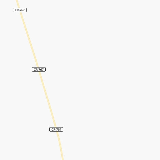
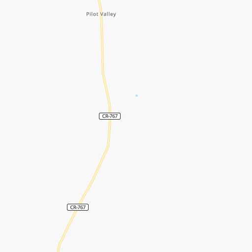
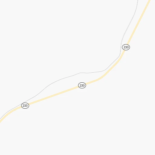
Roadmap (route) to go from Pilot Creek Ranches Airport to Bountiful detailed above, you can also see the course layout on the map.
While doing trip Pilot Creek Ranches (airport) - Bountiful by car, the calculated route ends at a distance , or more straight.
Distance and duration of the route between Pilot Creek Ranches (airport) and Bountiful
Calculation of distance and route from Bountiful to Pilot Creek Ranches (airport) :
188.5260.3 km3h9mn
Continue onto K Street 0h1mn 740 mTurn right onto 3rd Street 0h3mn 1.6 kmTurn left 0h3mn 1.3 kmTurn right onto 9th Street 0h0mn 232 mTurn left onto Pilot Road 1h1mn 30.5 kmTurn left and take I 80 East toward Salt Lake City 2h48mn 207.0 kmKeep right and take I 215 toward Ogden, Provo, Belt Route 0h1mn 698 mKeep left and take I 215 North toward Ogden 0h5mn 7.5 kmKeep right onto Belt Route 0h5mn 8.5 kmKeep right and take UT 68 toward 500 South 0h0mn 493 mKeep right and drive toward Bountiful 0h1mn 1.3 kmTurn left onto South Main Street 0h1mn 563 mTurn left onto Center Street 0h0mn 7 mArrive at destination 0h0mn 0 m
Travel from Pilot Creek Ranches (airport) (Utah) to a selection of major cities.
Distances from Pilot Creek Ranches Airport to biggest cities in Nevada
Other major cities in country :
- Charlotte [NC], 827,097 inhabitants. 2,965 km
- Seattle [WA], 684,451 inhabitants. 974 km
- Denver [CO], 682,545 inhabitants. 788 km
- El Paso [TX], 681,124 inhabitants. 1,244 km
- Detroit [MI], 677,116 inhabitants. 2,570 km
- Boston [MA], 667,137 inhabitants. 3,540 km
- Memphis [TN], 655,770 inhabitants. 2,201 km
- New South Memphis [TN], 641,608 inhabitants. 2,203 km
- Portland [OR], 632,309 inhabitants. 849 km
- Oklahoma City [OK], 631,346 inhabitants. 1,577 km
- Baltimore [MD], 621,849 inhabitants. 3,170 km
- Washington, D.C. [DC], 601,723 inhabitants. 3,147 km
- Milwaukee [WI], 600,155 inhabitants. 2,167 km
- South Boston [MA], 571,281 inhabitants. 3,542 km
- Albuquerque [NM], 559,121 inhabitants. 936 km
- Tucson [AZ], 531,641 inhabitants. 1,030 km
- Nashville [TN], 530,852 inhabitants. 2,428 km
- Fresno [CA], 520,052 inhabitants. 690 km
- Sacramento [CA], 490,712 inhabitants. 691 km
- Kansas City [MO], 475,378 inhabitants. 1,674 km
Route from Bountiful to major cities (United States).
- Distance Bountiful New York City3,166 km
- Distance Bountiful Los Angeles946 km
- Distance Bountiful Chicago2,020 km
- Distance Bountiful Brooklyn3,172 km
- Distance Bountiful Houston1,939 km
- Distance Bountiful Queens3,181 km
- Distance Bountiful Philadelphia3,090 km
- Distance Bountiful Phoenix829 km
- Distance Bountiful Manhattan3,168 km
- Distance Bountiful San Antonio1,760 km
- Distance Bountiful San Diego1,024 km
- Distance Bountiful The Bronx3,174 km
- Distance Bountiful Dallas1,614 km
- Distance Bountiful San Jose950 km
- Distance Bountiful Austin1,738 km
- Distance Bountiful Jacksonville2,958 km
- Distance Bountiful San Francisco971 km
- Distance Bountiful Columbus2,439 km
- Distance Bountiful Fort Worth1,581 km
- Distance Bountiful Indianapolis2,179 km
Nearest cities to Pilot Creek Ranches (airport) :
- Salt Lake City, 192,672 inhabitants. 191 km
- Boise, 145,987 inhabitants. 327 km
- West Valley City, 136,208 inhabitants. 183 km
- Provo, 115,264 inhabitants. 229 km
- West Jordan, 111,946 inhabitants. 191 km
- Orem, 94,457 inhabitants. 223 km
- Meridian, 90,739 inhabitants. 335 km
- Nampa, 89,839 inhabitants. 337 km
- Sandy Hills, 89,575 inhabitants. 199 km
- Sandy, 87,461 inhabitants. 196 km
- Ogden, 85,444 inhabitants. 179 km
- Layton, 74,143 inhabitants. 179 km
- South Jordan, 66,648 inhabitants. 194 km
- Millcreek, 62,139 inhabitants. 194 km
- Taylorsville, 60,514 inhabitants. 189 km
- Idaho Falls, 59,184 inhabitants. 313 km
- Lehi, 58,486 inhabitants. 207 km
- Pocatello, 54,441 inhabitants. 239 km
- Caldwell, 51,686 inhabitants. 354 km
- Logan, 50,371 inhabitants. 202 km
- Murray, 49,250 inhabitants. 193 km
- Twin Falls, 47,468 inhabitants. 164 km
- Draper, 46,774 inhabitants. 200 km
- Bountiful, 43,784 inhabitants. 189 km
- Riverton, 41,900 inhabitants. 194 km
- Pleasant Grove, 38,052 inhabitants. 217 km
- Roy, 37,964 inhabitants. 175 km
- Spanish Fork, 37,935 inhabitants. 235 km
- South Jordan Heights, 37,141 inhabitants. 192 km
- Kearns, 35,731 inhabitants. 185 km
- Cottonwood Heights, 34,343 inhabitants. 201 km
- Tooele, 33,157 inhabitants. 166 km
- Midvale, 32,613 inhabitants. 194 km
- Springville, 32,286 inhabitants. 236 km
- Holladay, 30,864 inhabitants. 199 km
- Herriman, 30,835 inhabitants. 187 km
- Clearfield, 30,653 inhabitants. 175 km
- Kaysville, 30,472 inhabitants. 182 km
- American Fork, 28,326 inhabitants. 212 km
- Rexburg, 27,663 inhabitants. 357 km
- Syracuse, 27,395 inhabitants. 171 km
- Eagle Mountain, 27,332 inhabitants. 199 km
- Magna, 26,505 inhabitants. 175 km
- Saratoga Springs, 25,407 inhabitants. 205 km
- South Salt Lake, 24,788 inhabitants. 192 km
- Eagle, 23,612 inhabitants. 341 km
- Farmington, 22,566 inhabitants. 187 km
- Clinton, 21,399 inhabitants. 173 km
- East Millcreek, 20,816 inhabitants. 199 km
- Elko, 20,279 inhabitants. 143 km
Location Pilot Creek Ranches (airport) (Nevada) :
| Country flag |  |
| Location | Pilot Creek Ranches (airport) |
| State | Nevada |
| County | Elko County |
| Country | United States |
| Country code / ISO 2 | US |
| Latitude | 41.1153200 |
| Longitude | -114.1087700 |
| Altitude | 1519 meters |
| Time zone | America/Los_Angeles |
Location Bountiful (Utah) :
| Country flag | |
| Location | Bountiful |
| State | Utah |
| County | Davis County |
| Country | United States |
| Country code / ISO 2 | US |
| Latitude | 40.8893900 |
| Longitude | -111.8807700 |
| Altitude | 1333 meters |
| Time zone | America/Denver |


