
How to get from Gerlach Landing Strip (Nevada) to Tracy (California)
Calculate route from Gerlach Landing Strip (Nevada, United States) to Tracy (California, United States).
The flight distance (as the crow flies) between Gerlach Landing Strip and Tracy is 369.8 km.
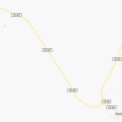
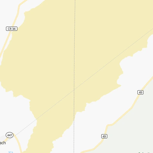
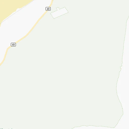
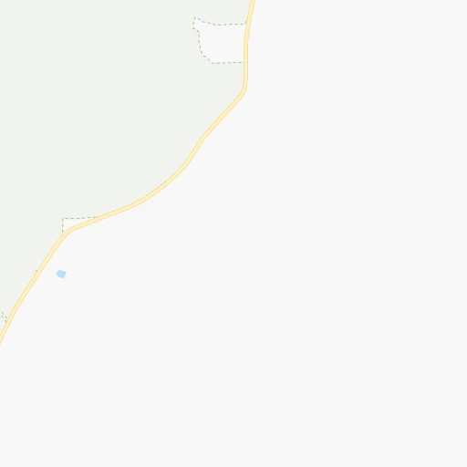
Roadmap (route) to go from Gerlach Landing Strip to Tracy detailed above, you can also see the course layout on the map.
While doing trip Gerlach Landing Strip - Tracy by car, the calculated route ends at a distance , or more straight.
Distance and duration of the route between Gerlach Landing Strip and Tracy
Calculation of distance and route from Tracy to Gerlach Landing Strip :
369.8488.6 km5h15mn
Continue 0h0mn 87 mTurn left onto Diablo Drive 0h1mn 308 mTurn left onto NV 447 1h18mn 120.2 kmTurn right onto Main Street 0h2mn 2.0 kmKeep right onto I 80 Business and take I 80 West toward Reno 3h36mn 246.0 kmKeep right onto Capital City Freeway and take I 80 Business West toward Sacramento 0h5mn 7.8 kmKeep left onto Elvas Freeway 0h4mn 6.0 kmKeep left onto Capital City Freeway toward CA 99 South 0h1mn 2.1 kmKeep right and drive toward 12th Avenue 0h0mn 396 mKeep right and drive toward 12th Avenue, Sutterville Road 0h0mn 99 mTurn slight right onto 12th Avenue 0h2mn 1.6 kmTurn left onto Freeport Boulevard 0h8mn 8.3 kmTurn left onto Cosumnes River Boulevard 0h0mn 356 mTurn right and take I 5 South toward Los Angeles 1h50mn 83.3 kmKeep left onto West Side Freeway 0h1mn 1.4 kmKeep right onto I 205 Bus 0h1mn 1.5 kmAt roundabout, take exit 2 onto East 11th Street 0h6mn 7.1 kmArrive at destination 0h0mn 0 m
Travel from Gerlach Landing Strip (California) to a selection of major cities.
Distances from Gerlach Landing Strip to biggest cities in Nevada
Other major cities in country :
- Charlotte [NC], 827,097 inhabitants. 3,407 km
- Seattle [WA], 684,451 inhabitants. 809 km
- Denver [CO], 682,545 inhabitants. 1,225 km
- El Paso [TX], 681,124 inhabitants. 1,519 km
- Detroit [MI], 677,116 inhabitants. 3,010 km
- Boston [MA], 667,137 inhabitants. 3,976 km
- Memphis [TN], 655,770 inhabitants. 2,633 km
- New South Memphis [TN], 641,608 inhabitants. 2,635 km
- Portland [OR], 632,309 inhabitants. 605 km
- Oklahoma City [OK], 631,346 inhabitants. 1,993 km
- Baltimore [MD], 621,849 inhabitants. 3,613 km
- Washington, D.C. [DC], 601,723 inhabitants. 3,591 km
- Milwaukee [WI], 600,155 inhabitants. 2,606 km
- South Boston [MA], 571,281 inhabitants. 3,977 km
- Albuquerque [NM], 559,121 inhabitants. 1,275 km
- Tucson [AZ], 531,641 inhabitants. 1,203 km
- Nashville [TN], 530,852 inhabitants. 2,868 km
- Fresno [CA], 520,052 inhabitants. 437 km
- Sacramento [CA], 490,712 inhabitants. 295 km
- Kansas City [MO], 475,378 inhabitants. 2,117 km
Route from Tracy to major cities (United States).
- Distance Tracy New York City4,053 km
- Distance Tracy Chicago2,906 km
- Distance Tracy Brooklyn4,059 km
- Distance Tracy Houston2,560 km
- Distance Tracy Queens4,068 km
- Distance Tracy Philadelphia3,973 km
- Distance Tracy Phoenix971 km
- Distance Tracy Manhattan4,055 km
- Distance Tracy San Antonio2,311 km
- Distance Tracy The Bronx4,062 km
- Distance Tracy Dallas2,297 km
- Distance Tracy Austin2,330 km
- Distance Tracy Jacksonville3,731 km
- Distance Tracy Columbus3,315 km
- Distance Tracy Fort Worth2,255 km
- Distance Tracy Indianapolis3,050 km
- Distance Tracy Charlotte3,615 km
- Distance Tracy Seattle1,101 km
- Distance Tracy Denver1,443 km
- Distance Tracy El Paso1,518 km
Nearest cities to Gerlach Landing Strip :
- Sacramento, 490,712 inhabitants. 295 km
- Oakland, 419,267 inhabitants. 405 km
- Stockton, 305,658 inhabitants. 343 km
- Reno, 241,445 inhabitants. 131 km
- Elk Grove, 166,913 inhabitants. 304 km
- Hayward, 158,289 inhabitants. 407 km
- Roseville, 130,269 inhabitants. 269 km
- Concord, 128,667 inhabitants. 377 km
- Vallejo, 121,253 inhabitants. 378 km
- Berkeley, 120,972 inhabitants. 399 km
- Fairfield, 112,970 inhabitants. 354 km
- Antioch, 110,542 inhabitants. 363 km
- Richmond, 109,708 inhabitants. 398 km
- Vacaville, 96,803 inhabitants. 342 km
- Sparks, 96,094 inhabitants. 129 km
- Arden-Arcade, 92,186 inhabitants. 287 km
- Meridian, 90,739 inhabitants. 410 km
- San Leandro, 90,712 inhabitants. 406 km
- Chico, 90,316 inhabitants. 235 km
- Nampa, 89,839 inhabitants. 395 km
- Livermore, 88,126 inhabitants. 391 km
- Tracy, 87,075 inhabitants. 370 km
- Citrus Heights, 87,056 inhabitants. 273 km
- Napa, 80,434 inhabitants. 364 km
- Pleasanton, 79,510 inhabitants. 398 km
- Alameda, 78,630 inhabitants. 407 km
- Folsom, 76,375 inhabitants. 270 km
- San Ramon, 76,134 inhabitants. 392 km
- Manteca, 75,448 inhabitants. 356 km
- Rancho Cordova, 71,017 inhabitants. 284 km
- Pittsburg, 69,424 inhabitants. 365 km
- Walnut Creek, 68,910 inhabitants. 385 km
- Davis, 67,666 inhabitants. 312 km
- Yuba City, 66,941 inhabitants. 256 km
- Lodi, 64,596 inhabitants. 326 km
- Carmichael, 61,762 inhabitants. 283 km
- Castro Valley, 61,388 inhabitants. 405 km
- Rocklin, 61,213 inhabitants. 263 km
- Brentwood, 58,968 inhabitants. 364 km
- Woodland, 58,567 inhabitants. 302 km
- Dublin, 57,721 inhabitants. 397 km
- Carson City, 54,521 inhabitants. 170 km
- West Sacramento, 52,721 inhabitants. 297 km
- Florin, 47,513 inhabitants. 298 km
- Laguna, 46,621 inhabitants. 306 km
- Lincoln, 46,474 inhabitants. 257 km
- Antelope, 45,770 inhabitants. 275 km
- Danville, 44,400 inhabitants. 389 km
- North Highlands, 42,694 inhabitants. 279 km
- El Dorado Hills, 42,108 inhabitants. 265 km
Location Gerlach Landing Strip (Nevada) :
| Country flag |  |
| Location | Gerlach Landing Strip |
| State | Nevada |
| County | Washoe County |
| Country | United States |
| Country code / ISO 2 | US |
| Latitude | 40.6554600 |
| Longitude | -119.3543500 |
| Altitude | 1203 meters |
| Time zone | America/Los_Angeles |
Location Tracy (California) :
| Country flag | |
| Location | Tracy |
| State | California |
| County | San Joaquin County |
| Country | United States |
| Country code / ISO 2 | US |
| Latitude | 37.7398700 |
| Longitude | -121.4261800 |
| Altitude | 16 meters |
| Time zone | America/Los_Angeles |


