

Home
››
Western Nebraska Community College Airport
››
Roadmap from Western Nebraska Community College Airport to Windsor
How to get from Western Nebraska Community College (airport) (Nebraska) to Windsor (Colorado)
Calculate route from Western Nebraska Community College (airport) (Nebraska, United States) to Windsor (Colorado, United States).
The flight distance (as the crow flies) between Western Nebraska Community College (airport) and Windsor is 172.4 km.
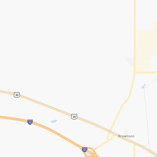
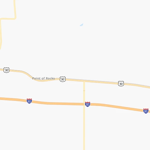
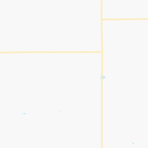
Roadmap (route) to go from Western Nebraska Community College Airport to Windsor detailed above, you can also see the course layout on the map.
While doing trip Western Nebraska Community College (airport) - Windsor by car, the calculated route ends at a distance , or more straight.
Distance and duration of the route between Western Nebraska Community College (airport) and Windsor
Calculation of distance and route from Windsor to Western Nebraska Community College (airport) :
172.4235.9 km2h18mn
Continue 0h0mn 151 mTurn right 0h0mn 19 mContinue onto Industrial Avenue 0h3mn 1.4 kmTurn right onto Road 32S 0h0mn 362 mTurn left onto 17A Road 0h3mn 3.5 kmTurn right onto NE 17C Link 0h1mn 812 mTurn right toward I 80 west 1h22mn 147.9 kmKeep right and take I 25 South, US 87 South toward Fort Collins 1h41mn 73.0 kmKeep right and take CO 392 toward Windsor, Fort Collins 0h0mn 554 mKeep left and take CO 392 toward Windsor, Fort Collins 0h0mn 54 mTurn left onto Carpenter Road 0h0mn 331 mTurn slight right onto State Highway 392 0h6mn 7.3 kmTurn right onto 4th Street 0h1mn 301 mTurn left onto Elm Street 0h0mn 96 mArrive at destination 0h0mn 0 m
Travel from Western Nebraska Community College (airport) (Colorado) to a selection of major cities.
Distances from Western Nebraska Community College Airport to biggest cities in Nebraska
Other major cities in country :
- Charlotte [NC], 827,097 inhabitants. 2,051 km
- Seattle [WA], 684,451 inhabitants. 1,680 km
- Denver [CO], 682,545 inhabitants. 230 km
- El Paso [TX], 681,124 inhabitants. 1,096 km
- Detroit [MI], 677,116 inhabitants. 1,666 km
- Boston [MA], 667,137 inhabitants. 2,647 km
- Memphis [TN], 655,770 inhabitants. 1,326 km
- New South Memphis [TN], 641,608 inhabitants. 1,329 km
- Portland [OR], 632,309 inhabitants. 1,649 km
- Oklahoma City [OK], 631,346 inhabitants. 805 km
- Las Vegas [NV], 623,747 inhabitants. 1,185 km
- Baltimore [MD], 621,849 inhabitants. 2,252 km
- Washington, D.C. [DC], 601,723 inhabitants. 2,228 km
- Milwaukee [WI], 600,155 inhabitants. 1,269 km
- South Boston [MA], 571,281 inhabitants. 2,648 km
- Albuquerque [NM], 559,121 inhabitants. 751 km
- Tucson [AZ], 531,641 inhabitants. 1,220 km
- Nashville [TN], 530,852 inhabitants. 1,523 km
- Fresno [CA], 520,052 inhabitants. 1,523 km
- Sacramento [CA], 490,712 inhabitants. 1,595 km
Route from Windsor to major cities (United States).
- Distance Windsor New York City2,598 km
- Distance Windsor Los Angeles1,379 km
- Distance Windsor Chicago1,451 km
- Distance Windsor Brooklyn2,604 km
- Distance Windsor Houston1,473 km
- Distance Windsor Queens2,613 km
- Distance Windsor Philadelphia2,517 km
- Distance Windsor Phoenix1,009 km
- Distance Windsor Manhattan2,600 km
- Distance Windsor San Antonio1,361 km
- Distance Windsor San Diego1,393 km
- Distance Windsor The Bronx2,607 km
- Distance Windsor Dallas1,120 km
- Distance Windsor San Jose1,510 km
- Distance Windsor Austin1,308 km
- Distance Windsor Jacksonville2,382 km
- Distance Windsor San Francisco1,540 km
- Distance Windsor Columbus1,858 km
- Distance Windsor Fort Worth1,096 km
- Distance Windsor Indianapolis1,594 km
Nearest cities to Western Nebraska Community College (airport) :
- Denver, 682,545 inhabitants. 230 km
- Colorado Springs, 456,568 inhabitants. 304 km
- Aurora, 359,407 inhabitants. 222 km
- Fort Collins, 161,175 inhabitants. 181 km
- Lakewood, 152,597 inhabitants. 238 km
- Thornton, 133,451 inhabitants. 219 km
- Arvada, 115,368 inhabitants. 231 km
- Westminster, 113,130 inhabitants. 225 km
- Centennial, 109,741 inhabitants. 237 km
- Pueblo, 109,412 inhabitants. 355 km
- Boulder, 107,349 inhabitants. 227 km
- Greeley, 100,883 inhabitants. 162 km
- Highlands Ranch, 96,713 inhabitants. 244 km
- Longmont, 92,088 inhabitants. 206 km
- Loveland, 75,182 inhabitants. 190 km
- Rapid City, 73,569 inhabitants. 318 km
- Broomfield, 65,065 inhabitants. 222 km
- Cheyenne, 63,335 inhabitants. 144 km
- Castle Rock, 55,591 inhabitants. 254 km
- Commerce City, 53,696 inhabitants. 221 km
- Parker, 49,550 inhabitants. 236 km
- Littleton, 46,368 inhabitants. 242 km
- Southglenn, 42,268 inhabitants. 241 km
- Northglenn, 39,197 inhabitants. 218 km
- Brighton, 37,585 inhabitants. 200 km
- Englewood, 33,082 inhabitants. 237 km
- Security-Widefield, 32,882 inhabitants. 308 km
- Ken Caryl, 32,438 inhabitants. 250 km
- Laramie, 32,158 inhabitants. 208 km
- Wheat Ridge, 31,192 inhabitants. 233 km
- Pueblo West, 29,637 inhabitants. 349 km
- Fountain, 27,767 inhabitants. 314 km
- Lafayette, 27,729 inhabitants. 217 km
- Castlewood, 25,271 inhabitants. 238 km
- Columbine, 24,280 inhabitants. 247 km
- North Platte, 24,194 inhabitants. 196 km
- Windsor, 21,751 inhabitants. 173 km
- Erie, 21,420 inhabitants. 210 km
- Evans, 21,383 inhabitants. 164 km
- Louisville, 20,396 inhabitants. 221 km
- Golden, 20,330 inhabitants. 243 km
- Sherrelwood, 18,287 inhabitants. 223 km
- Canon City, 16,400 inhabitants. 360 km
- Cimarron Hills, 16,161 inhabitants. 297 km
- Greenwood Village, 15,663 inhabitants. 238 km
- Johnstown, 14,896 inhabitants. 182 km
- Welby, 14,846 inhabitants. 220 km
- Scottsbluff, 14,802 inhabitants. 85 km
- Sterling, 14,104 inhabitants. 68 km
- Fort Carson, 13,813 inhabitants. 312 km
Location Western Nebraska Community College (airport) (Nebraska) :
| Country flag |  |
| Location | Western Nebraska Community College (airport) |
| State | Nebraska |
| County | Cheyenne County |
| Country | United States |
| Country code / ISO 2 | US |
| Latitude | 41.2277600 |
| Longitude | -103.1057600 |
| Altitude | 1339 meters |
| Time zone | America/Denver |
Location Windsor (Colorado) :
| Country flag | |
| Location | Windsor |
| State | Colorado |
| County | Weld County |
| Country | United States |
| Country code / ISO 2 | US |
| Latitude | 40.4774800 |
| Longitude | -104.9013600 |
| Altitude | 1462 meters |
| Time zone | America/Denver |


