

How to get from George (airport) (Nebraska) to McCook (Nebraska)
Calculate route from George (airport) (Nebraska, United States) to McCook (Nebraska, United States).
The flight distance (as the crow flies) between George (airport) and McCook is 112.1 km.
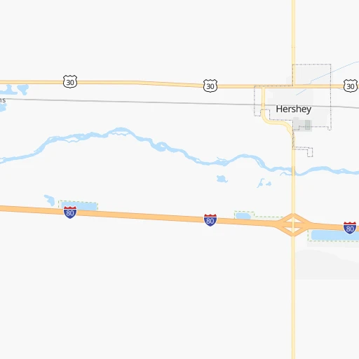
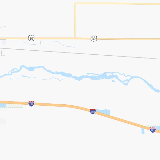
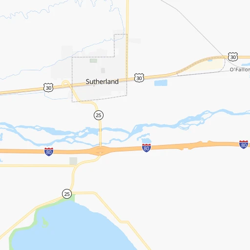
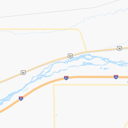
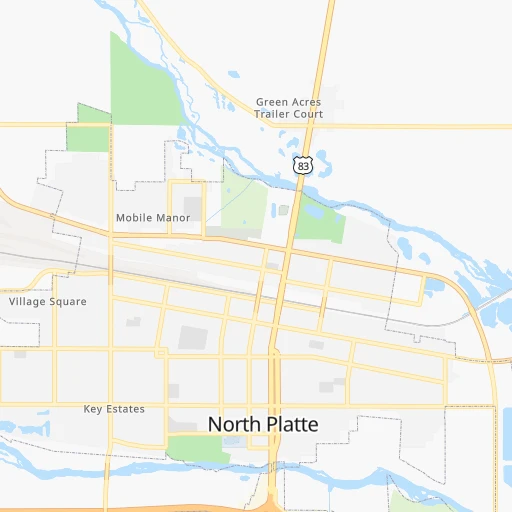
Roadmap (route) to go from George Airport to McCook detailed above, you can also see the course layout on the map.
While doing trip George (airport) - McCook by car, the calculated route ends at a distance , or more straight.
Distance and duration of the route between George (airport) and McCook
Calculation of distance and route from McCook to George (airport) :
112.1132.0 km1h26mn
Continue onto North Hershey Road 0h1mn 809 mTurn right onto US 30, I 80 Alt 0h1mn 615 mTurn left onto NE 56C Link, I 80 Alt 0h1mn 1.2 kmAt roundabout, take exit 1 onto NE 56C Link, I 80 Alt 0h2mn 2.2 kmTurn left toward I 80 east 0h11mn 19.2 kmKeep right and take US 83 toward North Platte, McCook 0h1mn 691 mKeep right and take US 83 South toward McCook 1h8mn 104.7 kmTurn left onto West J Street 0h2mn 1.9 kmTurn right onto Norris Avenue 0h1mn 536 mArrive at destination 0h0mn 0 m
Travel from George (airport) (Nebraska) to a selection of major cities.
Distances from George Airport to biggest cities in Nebraska
Other major cities in country :
- Charlotte [NC], 827,097 inhabitants. 1,878 km
- Seattle [WA], 684,451 inhabitants. 1,834 km
- Denver [CO], 682,545 inhabitants. 373 km
- El Paso [TX], 681,124 inhabitants. 1,156 km
- Detroit [MI], 677,116 inhabitants. 1,494 km
- Boston [MA], 667,137 inhabitants. 2,477 km
- Memphis [TN], 655,770 inhabitants. 1,168 km
- New South Memphis [TN], 641,608 inhabitants. 1,172 km
- Portland [OR], 632,309 inhabitants. 1,814 km
- Oklahoma City [OK], 631,346 inhabitants. 704 km
- Las Vegas [NV], 623,747 inhabitants. 1,346 km
- Baltimore [MD], 621,849 inhabitants. 2,076 km
- Washington, D.C. [DC], 601,723 inhabitants. 2,052 km
- Milwaukee [WI], 600,155 inhabitants. 1,100 km
- South Boston [MA], 571,281 inhabitants. 2,478 km
- Albuquerque [NM], 559,121 inhabitants. 838 km
- Tucson [AZ], 531,641 inhabitants. 1,331 km
- Nashville [TN], 530,852 inhabitants. 1,353 km
- Fresno [CA], 520,052 inhabitants. 1,694 km
- Sacramento [CA], 490,712 inhabitants. 1,770 km
Route from McCook to major cities (United States).
- Distance McCook New York City2,247 km
- Distance McCook Los Angeles1,703 km
- Distance McCook Chicago1,104 km
- Distance McCook Brooklyn2,252 km
- Distance McCook Houston1,257 km
- Distance McCook Queens2,261 km
- Distance McCook Philadelphia2,162 km
- Distance McCook Phoenix1,265 km
- Distance McCook Manhattan2,249 km
- Distance McCook San Antonio1,215 km
- Distance McCook San Diego1,695 km
- Distance McCook The Bronx2,257 km
- Distance McCook Dallas894 km
- Distance McCook San Jose1,869 km
- Distance McCook Austin1,136 km
- Distance McCook Jacksonville2,038 km
- Distance McCook San Francisco1,900 km
- Distance McCook Columbus1,499 km
- Distance McCook Fort Worth883 km
- Distance McCook Indianapolis1,234 km
Nearest cities to George (airport) :
- Rapid City, 73,569 inhabitants. 372 km
- Grand Island, 51,440 inhabitants. 225 km
- Kearney, 33,021 inhabitants. 170 km
- Hastings, 24,924 inhabitants. 229 km
- North Platte, 24,194 inhabitants. 20 km
- Hays, 21,092 inhabitants. 292 km
- Great Bend, 15,717 inhabitants. 366 km
- Mitchell, 15,669 inhabitants. 373 km
- Scottsbluff, 14,802 inhabitants. 235 km
- Sterling, 14,104 inhabitants. 195 km
- Fort Morgan, 11,319 inhabitants. 257 km
- Lexington, 10,075 inhabitants. 114 km
- Box Elder, 9,289 inhabitants. 369 km
- Alliance, 8,522 inhabitants. 187 km
- Gering, 8,334 inhabitants. 233 km
- Rapid Valley, 8,260 inhabitants. 367 km
- McCook, 7,580 inhabitants. 112 km
- Sidney, 6,942 inhabitants. 166 km
- Chadron, 5,775 inhabitants. 248 km
- Holdrege, 5,561 inhabitants. 160 km
- Brush, 5,459 inhabitants. 243 km
- Colby, 5,417 inhabitants. 198 km
- Ogallala, 4,570 inhabitants. 60 km
- Russell, 4,534 inhabitants. 312 km
- Aurora, 4,496 inhabitants. 254 km
- Goodland, 4,457 inhabitants. 211 km
- Larned, 3,967 inhabitants. 371 km
- Cozad, 3,863 inhabitants. 92 km
- Scott City, 3,838 inhabitants. 299 km
- Beloit, 3,790 inhabitants. 311 km
- Lyons, 3,725 inhabitants. 395 km
- Burlington, 3,720 inhabitants. 234 km
- O'Neill, 3,653 inhabitants. 242 km
- Yuma, 3,596 inhabitants. 187 km
- Broken Bow, 3,551 inhabitants. 117 km
- Hot Springs, 3,532 inhabitants. 324 km
- Gothenburg, 3,514 inhabitants. 75 km
- Pine Ridge, 3,308 inhabitants. 243 km
- Ellsworth, 3,057 inhabitants. 360 km
- Minden, 3,006 inhabitants. 188 km
Location George (airport) (Nebraska) :
| Country flag |  |
| Location | George (airport) |
| State | Nebraska |
| County | Lincoln County |
| Country | United States |
| Country code / ISO 2 | US |
| Latitude | 41.1700000 |
| Longitude | -101.0015400 |
| Altitude | 884 meters |
| Time zone | America/Chicago |
Location McCook (Nebraska) :
| Country flag | |
| Location | McCook |
| State | Nebraska |
| County | Red Willow County |
| Country | United States |
| Country code / ISO 2 | US |
| Latitude | 40.2019500 |
| Longitude | -100.6257100 |
| Altitude | 784 meters |
| Time zone | America/Chicago |

