


How to get from Peterson Ranch (airport) (Montana) to Livingston (Montana)
Calculate route from Peterson Ranch (airport) (Montana, United States) to Livingston (Montana, United States).
The flight distance (as the crow flies) between Peterson Ranch (airport) and Livingston is 217.8 km.
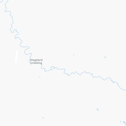
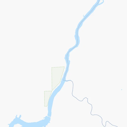
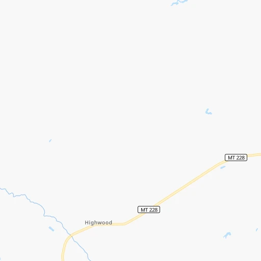
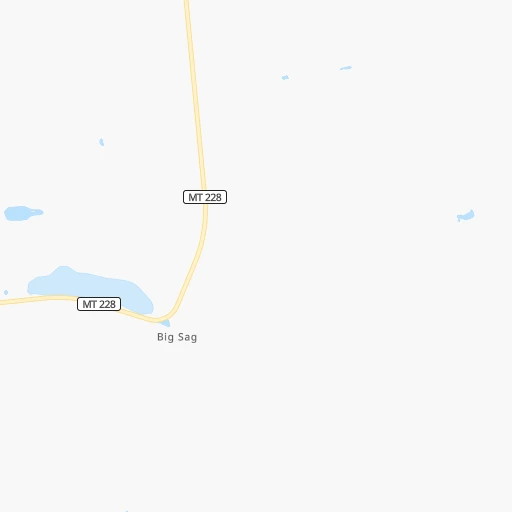
Roadmap (route) to go from Peterson Ranch Airport to Livingston detailed above, you can also see the course layout on the map.
While doing trip Peterson Ranch (airport) - Livingston by car, the calculated route ends at a distance , or more straight.
Distance and duration of the route between Peterson Ranch (airport) and Livingston
Calculation of distance and route from Livingston to Peterson Ranch (airport) :
217.8269.7 km4h22mn
Continue 0h1mn 309 mTurn right onto Shepherd Crossing 0h8mn 4.2 kmTurn left onto Whiskey Flat Road 0h6mn 2.8 kmKeep right onto Waltham Road 0h3mn 1.4 kmTurn right onto Highwood Road 0h7mn 6.8 kmContinue onto Belt Creek Road 0h15mn 14.7 kmTurn left onto Anaconda Street 0h3mn 1.7 kmKeep right onto Anaconda Street 0h0mn 131 mTurn slight left onto US 87, US 89, MT 3, MT 200 0h2mn 3.2 kmAt roundabout, take exit 1 0h0mn 70 mTurn slight right onto US 89 2h55mn 114.6 kmTurn right onto US 12, US 89 0h3mn 4.7 kmTurn left onto 3rd Avenue Southwest 0h9mn 14.3 kmTurn left onto US 89 1h23mn 91.1 kmTurn right onto US 89 0h2mn 4.1 kmKeep right onto I 90 Business and take I 90 Business toward Livingston 0h0mn 310 mTurn left onto I 90 Business 0h5mn 5.3 kmArrive at destination 0h0mn 0 m
Travel from Peterson Ranch (airport) (Montana) to a selection of major cities.
Distances from Peterson Ranch Airport to biggest cities in Montana
Other major cities in country :
- Charlotte [NC], 827,097 inhabitants. 2,838 km
- Seattle [WA], 684,451 inhabitants. 857 km
- Denver [CO], 682,545 inhabitants. 997 km
- El Paso [TX], 681,124 inhabitants. 1,804 km
- Detroit [MI], 677,116 inhabitants. 2,258 km
- Boston [MA], 667,137 inhabitants. 3,155 km
- Memphis [TN], 655,770 inhabitants. 2,215 km
- New South Memphis [TN], 641,608 inhabitants. 2,219 km
- Portland [OR], 632,309 inhabitants. 929 km
- Oklahoma City [OK], 631,346 inhabitants. 1,747 km
- Las Vegas [NV], 623,747 inhabitants. 1,320 km
- Baltimore [MD], 621,849 inhabitants. 2,895 km
- Washington, D.C. [DC], 601,723 inhabitants. 2,885 km
- Milwaukee [WI], 600,155 inhabitants. 1,863 km
- South Boston [MA], 571,281 inhabitants. 3,157 km
- Albuquerque [NM], 559,121 inhabitants. 1,438 km
- Tucson [AZ], 531,641 inhabitants. 1,713 km
- Nashville [TN], 530,852 inhabitants. 2,355 km
- Fresno [CA], 520,052 inhabitants. 1,411 km
- Sacramento [CA], 490,712 inhabitants. 1,321 km
Route from Livingston to major cities (United States).
- Distance Livingston New York City2,991 km
- Distance Livingston Los Angeles1,448 km
- Distance Livingston Chicago1,883 km
- Distance Livingston Brooklyn2,998 km
- Distance Livingston Houston2,211 km
- Distance Livingston Queens3,005 km
- Distance Livingston Philadelphia2,935 km
- Distance Livingston Phoenix1,366 km
- Distance Livingston Manhattan2,991 km
- Distance Livingston San Antonio2,093 km
- Distance Livingston San Diego1,548 km
- Distance Livingston The Bronx2,996 km
- Distance Livingston Dallas1,855 km
- Distance Livingston San Jose1,321 km
- Distance Livingston Austin2,044 km
- Distance Livingston Jacksonville3,030 km
- Distance Livingston San Francisco1,317 km
- Distance Livingston Columbus2,326 km
- Distance Livingston Fort Worth1,833 km
- Distance Livingston Indianapolis2,091 km
Nearest cities to Peterson Ranch (airport) :
- Billings, 110,263 inhabitants. 274 km
- Great Falls, 59,638 inhabitants. 32 km
- Bozeman, 43,405 inhabitants. 215 km
- Butte, 34,190 inhabitants. 217 km
- Butte-Silver Bow (Balance), 33,525 inhabitants. 232 km
- Helena, 30,581 inhabitants. 142 km
- Havre, 9,834 inhabitants. 139 km
- Anaconda, 9,417 inhabitants. 226 km
- Helena Valley Southeast, 8,227 inhabitants. 135 km
- Belgrade, 8,029 inhabitants. 205 km
- Helena Valley West Central, 7,883 inhabitants. 137 km
- Livingston, 7,302 inhabitants. 218 km
- Laurel, 6,943 inhabitants. 271 km
- Lockwood, 6,797 inhabitants. 275 km
- Powell, 6,462 inhabitants. 358 km
- Lewistown, 5,874 inhabitants. 127 km
- Dillon, 4,210 inhabitants. 298 km
- Helena Valley Northwest, 3,482 inhabitants. 131 km
- Malmstrom Air Force Base, 3,472 inhabitants. 24 km
- Shelby, 3,268 inhabitants. 122 km
- Four Corners, 3,146 inhabitants. 221 km
- Salmon, 3,036 inhabitants. 355 km
- Cut Bank, 3,002 inhabitants. 155 km
Location Peterson Ranch (airport) (Montana) :
| Country flag |  |
| Location | Peterson Ranch (airport) |
| State | Montana |
| County | Chouteau County |
| Country | United States |
| Country code / ISO 2 | US |
| Latitude | 47.6079400 |
| Longitude | -110.9067200 |
| Altitude | 1015 meters |
| Time zone | America/Denver |
Location Livingston (Montana) :
| Country flag | |
| Location | Livingston |
| State | Montana |
| County | Park County |
| Country | United States |
| Country code / ISO 2 | US |
| Latitude | 45.6624400 |
| Longitude | -110.5610400 |
| Altitude | 1372 meters |
| Time zone | America/Denver |
