


How to get from Bert Mooney (airport) (Montana) to Columbia Falls (Montana)
Calculate route from Bert Mooney (airport) (Montana, United States) to Columbia Falls (Montana, United States).
The flight distance (as the crow flies) between Bert Mooney (airport) and Columbia Falls is 297.2 km.
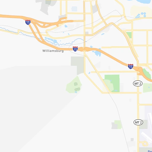
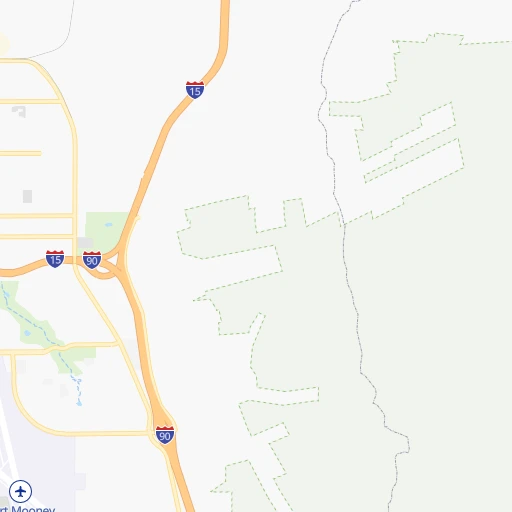
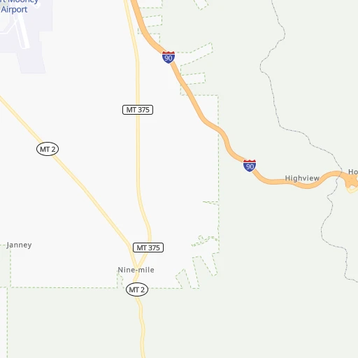
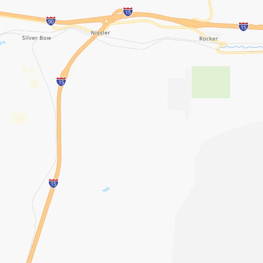
Roadmap (route) to go from Bert Mooney Airport to Columbia Falls detailed above, you can also see the course layout on the map.
While doing trip Bert Mooney (airport) - Columbia Falls by car, the calculated route ends at a distance , or more straight.
Distance and duration of the route between Bert Mooney (airport) and Columbia Falls
Calculation of distance and route from Columbia Falls to Bert Mooney (airport) :
297.2371.5 km4h2mn
Continue 0h0mn 142 mTurn right onto Airport Way 0h0mn 94 mTurn right onto Airport Road 0h1mn 550 mTurn right onto Harrison Avenue 0h4mn 3.5 kmMake a U-turn onto Harrison Avenue 0h0mn 152 mKeep right 0h6mn 10.2 kmKeep left onto I 90 and take I 90 West toward Missoula 1h32mn 62.6 kmKeep right 0h1mn 640 mTurn right onto Beck Hill Road 0h8mn 5.8 kmTurn right onto US 12 0h8mn 14.0 kmTurn left 0h0mn 127 mTurn slight right onto Old Highway Road 0h0mn 156 mTurn left onto Tough Creek Road 0h0mn 173 mTurn left onto Old Highway Road 0h1mn 591 mTurn slight left onto State Highway 141 1h30mn 51.1 kmTurn left onto MT 200 1h33mn 38.3 kmTurn sharp right onto MT 83 2h32mn 146.5 kmTurn right onto MT 35 0h11mn 18.4 kmTurn right onto MT 206 0h11mn 15.7 kmTurn left onto US 2 0h2mn 2.6 kmTurn right onto Nucleus Avenue 0h0mn 239 mTurn left onto 7th Street West 0h0mn 31 mArrive at destination 0h0mn 0 m
Travel from Bert Mooney (airport) (Montana) to a selection of major cities.
Distances from Bert Mooney Airport to biggest cities in Montana
Other major cities in country :
- Charlotte [NC], 827,097 inhabitants. 2,905 km
- Seattle [WA], 684,451 inhabitants. 771 km
- Denver [CO], 682,545 inhabitants. 924 km
- El Paso [TX], 681,124 inhabitants. 1,663 km
- Detroit [MI], 677,116 inhabitants. 2,373 km
- Boston [MA], 667,137 inhabitants. 3,296 km
- Memphis [TN], 655,770 inhabitants. 2,236 km
- New South Memphis [TN], 641,608 inhabitants. 2,240 km
- Portland [OR], 632,309 inhabitants. 792 km
- Oklahoma City [OK], 631,346 inhabitants. 1,715 km
- Las Vegas [NV], 623,747 inhabitants. 1,111 km
- Baltimore [MD], 621,849 inhabitants. 3,004 km
- Washington, D.C. [DC], 601,723 inhabitants. 2,991 km
- Milwaukee [WI], 600,155 inhabitants. 1,971 km
- South Boston [MA], 571,281 inhabitants. 3,298 km
- Albuquerque [NM], 559,121 inhabitants. 1,306 km
- Tucson [AZ], 531,641 inhabitants. 1,535 km
- Nashville [TN], 530,852 inhabitants. 2,403 km
- Fresno [CA], 520,052 inhabitants. 1,190 km
- Sacramento [CA], 490,712 inhabitants. 1,104 km
Route from Columbia Falls to major cities (United States).
- Distance Columbia Falls New York City3,259 km
- Distance Columbia Falls Los Angeles1,629 km
- Distance Columbia Falls Chicago2,194 km
- Distance Columbia Falls Brooklyn3,266 km
- Distance Columbia Falls Houston2,619 km
- Distance Columbia Falls Queens3,273 km
- Distance Columbia Falls Philadelphia3,215 km
- Distance Columbia Falls Phoenix1,671 km
- Distance Columbia Falls Manhattan3,258 km
- Distance Columbia Falls San Antonio2,498 km
- Distance Columbia Falls San Diego1,761 km
- Distance Columbia Falls The Bronx3,262 km
- Distance Columbia Falls Dallas2,263 km
- Distance Columbia Falls San Jose1,378 km
- Distance Columbia Falls Austin2,452 km
- Distance Columbia Falls Jacksonville3,404 km
- Distance Columbia Falls San Francisco1,355 km
- Distance Columbia Falls Columbus2,638 km
- Distance Columbia Falls Fort Worth2,241 km
- Distance Columbia Falls Indianapolis2,420 km
Nearest cities to Bert Mooney (airport) :
- Missoula, 71,022 inhabitants. 154 km
- Great Falls, 59,638 inhabitants. 195 km
- Idaho Falls, 59,184 inhabitants. 279 km
- Bozeman, 43,405 inhabitants. 117 km
- Butte, 34,190 inhabitants. 6 km
- Butte-Silver Bow (Balance), 33,525 inhabitants. 14 km
- Helena, 30,581 inhabitants. 79 km
- Rexburg, 27,663 inhabitants. 243 km
- Kalispell, 22,052 inhabitants. 285 km
- Ammon, 14,960 inhabitants. 280 km
- Blackfoot, 11,740 inhabitants. 308 km
- Jackson, 10,523 inhabitants. 308 km
- Havre, 9,834 inhabitants. 359 km
- Anaconda, 9,417 inhabitants. 39 km
- Helena Valley Southeast, 8,227 inhabitants. 86 km
- Hailey, 8,134 inhabitants. 307 km
- Belgrade, 8,029 inhabitants. 104 km
- Helena Valley West Central, 7,883 inhabitants. 86 km
- Evergreen, 7,616 inhabitants. 286 km
- Livingston, 7,302 inhabitants. 154 km
- Whitefish, 7,073 inhabitants. 307 km
- Orchard Homes, 5,197 inhabitants. 156 km
- Columbia Falls, 5,093 inhabitants. 298 km
- Polson, 4,707 inhabitants. 231 km
- Hamilton, 4,602 inhabitants. 132 km
- Shelley, 4,339 inhabitants. 288 km
- Bigfork, 4,270 inhabitants. 263 km
- Dillon, 4,210 inhabitants. 83 km
- Rigby, 4,029 inhabitants. 258 km
- Lolo, 3,892 inhabitants. 151 km
- Lincoln, 3,647 inhabitants. 275 km
- Saint Anthony, 3,542 inhabitants. 230 km
- Helena Valley Northwest, 3,482 inhabitants. 92 km
- Malmstrom Air Force Base, 3,472 inhabitants. 200 km
- Shelby, 3,268 inhabitants. 288 km
- Fort Hall, 3,201 inhabitants. 325 km
- Four Corners, 3,146 inhabitants. 108 km
- Salmon, 3,036 inhabitants. 139 km
- Cut Bank, 3,002 inhabitants. 298 km
Location Bert Mooney (airport) (Montana) :
| Country flag |  |
| Location | Bert Mooney (airport) |
| State | Montana |
| County | Silver Bow County |
| Country | United States |
| Country code / ISO 2 | US |
| Latitude | 45.9546500 |
| Longitude | -112.4980800 |
| Altitude | 1685 meters |
| Time zone | America/Denver |
Location Columbia Falls (Montana) :
| Country flag | |
| Location | Columbia Falls |
| State | Montana |
| County | Flathead County |
| Country | United States |
| Country code / ISO 2 | US |
| Latitude | 48.3724600 |
| Longitude | -114.1815200 |
| Altitude | 941 meters |
| Time zone | America/Denver |

