
How to get from Mountain Home Municipal (airport) (Idaho) to Nyssa (Oregon)
Calculate route from Mountain Home Municipal (airport) (Idaho, United States) to Nyssa (Oregon, United States).
The flight distance (as the crow flies) between Mountain Home Municipal (airport) and Nyssa is 131.4 km.
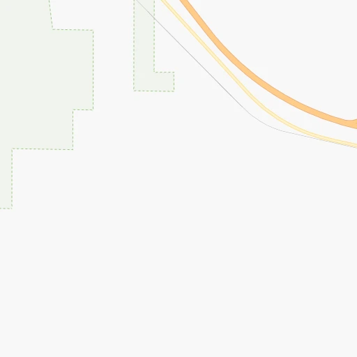
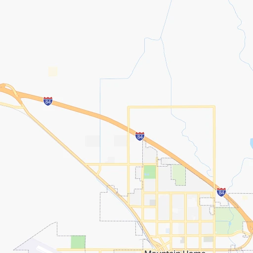
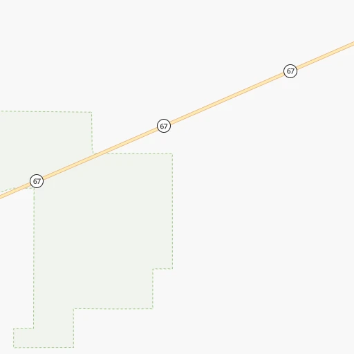
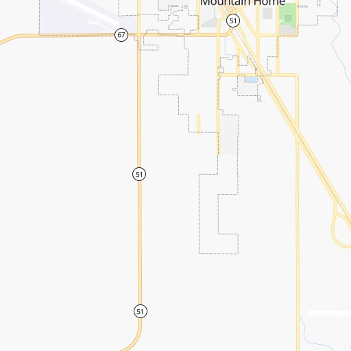
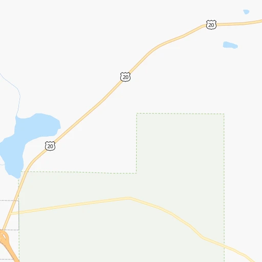
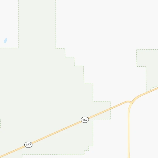
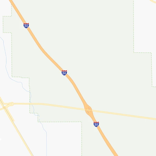
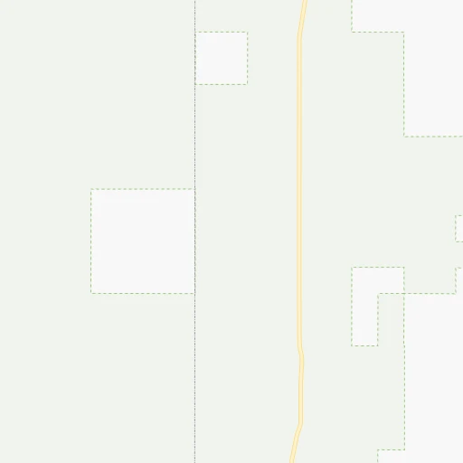
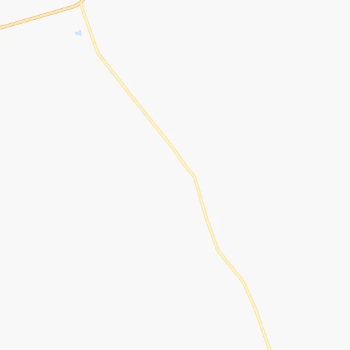
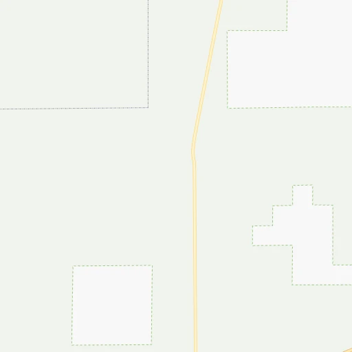
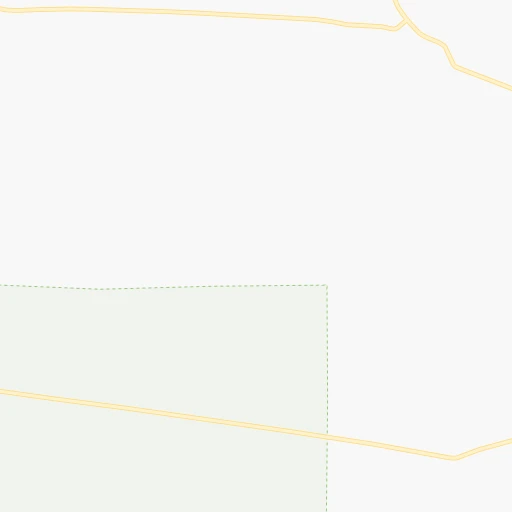
Roadmap (route) to go from Mountain Home Municipal Airport to Nyssa detailed above, you can also see the course layout on the map.
While doing trip Mountain Home Municipal (airport) - Nyssa by car, the calculated route ends at a distance , or more straight.
Distance and duration of the route between Mountain Home Municipal (airport) and Nyssa
Calculation of distance and route from Nyssa to Mountain Home Municipal (airport) :
131.4148.7 km2h41mn
Continue onto Northwest Marathon Way 0h3mn 2.6 kmTurn left onto West 5th North Street 0h0mn 231 mTurn left onto North 2nd East Street 0h0mn 439 mTurn slight right onto Old Oregon Trail Highway 1h4mn 108.7 kmKeep right onto US 20, US 26 and take US 20, US 26 toward Notus, Parma 0h0mn 329 mTurn left onto US 20, US 26 0h18mn 20.1 kmContinue onto US 95, US 20, US 26 0h11mn 13.0 kmTurn left onto US 20, US 26 0h3mn 3.4 kmArrive at destination 0h0mn 0 m
Travel from Mountain Home Municipal (airport) (Oregon) to a selection of major cities.
Distances from Mountain Home Municipal Airport to biggest cities in Idaho
Other major cities in country :
- Charlotte [NC], 827,097 inhabitants. 3,111 km
- Seattle [WA], 684,451 inhabitants. 717 km
- Denver [CO], 682,545 inhabitants. 972 km
- El Paso [TX], 681,124 inhabitants. 1,504 km
- Detroit [MI], 677,116 inhabitants. 2,657 km
- Boston [MA], 667,137 inhabitants. 3,609 km
- Memphis [TN], 655,770 inhabitants. 2,377 km
- New South Memphis [TN], 641,608 inhabitants. 2,380 km
- Portland [OR], 632,309 inhabitants. 614 km
- Oklahoma City [OK], 631,346 inhabitants. 1,780 km
- Las Vegas [NV], 623,747 inhabitants. 776 km
- Baltimore [MD], 621,849 inhabitants. 3,274 km
- Washington, D.C. [DC], 601,723 inhabitants. 3,255 km
- Milwaukee [WI], 600,155 inhabitants. 2,252 km
- South Boston [MA], 571,281 inhabitants. 3,611 km
- Albuquerque [NM], 559,121 inhabitants. 1,189 km
- Tucson [AZ], 531,641 inhabitants. 1,285 km
- Nashville [TN], 530,852 inhabitants. 2,584 km
- Fresno [CA], 520,052 inhabitants. 790 km
- Sacramento [CA], 490,712 inhabitants. 701 km
Route from Nyssa to major cities (United States).
- Distance Nyssa New York City3,517 km
- Distance Nyssa Los Angeles1,099 km
- Distance Nyssa Chicago2,392 km
- Distance Nyssa Brooklyn3,524 km
- Distance Nyssa Houston2,473 km
- Distance Nyssa Queens3,532 km
- Distance Nyssa Philadelphia3,455 km
- Distance Nyssa Phoenix1,237 km
- Distance Nyssa Manhattan3,518 km
- Distance Nyssa San Antonio2,296 km
- Distance Nyssa San Diego1,243 km
- Distance Nyssa The Bronx3,523 km
- Distance Nyssa Dallas2,143 km
- Distance Nyssa San Jose837 km
- Distance Nyssa Austin2,274 km
- Distance Nyssa Jacksonville3,446 km
- Distance Nyssa San Francisco818 km
- Distance Nyssa Columbus2,829 km
- Distance Nyssa Fort Worth2,111 km
- Distance Nyssa Indianapolis2,583 km
Nearest cities to Mountain Home Municipal (airport) :
- Boise, 145,987 inhabitants. 66 km
- Meridian, 90,739 inhabitants. 76 km
- Nampa, 89,839 inhabitants. 81 km
- Caldwell, 51,686 inhabitants. 97 km
- Twin Falls, 47,468 inhabitants. 121 km
- Walla Walla, 32,237 inhabitants. 387 km
- Eagle, 23,612 inhabitants. 81 km
- Elko, 20,279 inhabitants. 256 km
- Kuna, 17,226 inhabitants. 69 km
- Mountain Home, 13,730 inhabitants. 3 km
- La Grande, 13,074 inhabitants. 308 km
- Spring Creek, 12,361 inhabitants. 268 km
- Garden City, 11,550 inhabitants. 68 km
- Jerome, 11,184 inhabitants. 109 km
- Ontario, 10,999 inhabitants. 141 km
- Burley, 10,436 inhabitants. 171 km
- Baker City, 9,752 inhabitants. 249 km
- Anaconda, 9,417 inhabitants. 400 km
- College Place, 9,062 inhabitants. 387 km
- Hailey, 8,134 inhabitants. 122 km
- Winnemucca, 7,887 inhabitants. 292 km
- Star, 7,797 inhabitants. 88 km
- Payette, 7,380 inhabitants. 143 km
- Milton-Freewater, 7,035 inhabitants. 376 km
- Middleton, 6,828 inhabitants. 96 km
- Emmett, 6,604 inhabitants. 103 km
- Rupert, 5,705 inhabitants. 177 km
- Weiser, 5,317 inhabitants. 160 km
- Fruitland, 5,087 inhabitants. 137 km
- American Falls, 4,321 inhabitants. 237 km
- West Wendover, 4,294 inhabitants. 300 km
- Buhl, 4,275 inhabitants. 99 km
- Battle Mountain, 3,635 inhabitants. 295 km
- Kimberly, 3,610 inhabitants. 130 km
- Gooding, 3,509 inhabitants. 85 km
- Heyburn, 3,223 inhabitants. 173 km
- Nyssa, 3,175 inhabitants. 132 km
- Grangeville, 3,155 inhabitants. 313 km
- McCall, 3,106 inhabitants. 200 km
- Salmon, 3,036 inhabitants. 271 km
Location Mountain Home Municipal (airport) (Idaho) :
| Country flag |  |
| Location | Mountain Home Municipal (airport) |
| State | Idaho |
| County | Elmore County |
| Country | United States |
| Country code / ISO 2 | US |
| Latitude | 43.1312800 |
| Longitude | -115.7300900 |
| Altitude | 964 meters |
| Time zone | America/Boise |
Location Nyssa (Oregon) :
| Country flag | |
| Location | Nyssa |
| State | Oregon |
| County | Malheur County |
| Country | United States |
| Country code / ISO 2 | US |
| Latitude | 43.8768300 |
| Longitude | -116.9948800 |
| Altitude | 664 meters |
| Time zone | America/Boise |