
How to get from Kamensk-Shakhtinskiy (Rostov) to Morozovsk (Rostov)
Calculate route from Kamensk-Shakhtinskiy (Rostov, Russia) to Morozovsk (Rostov, Russia).
The flight distance (as the crow flies) between Kamensk-Shakhtinskiy and Morozovsk is 115.8 km.
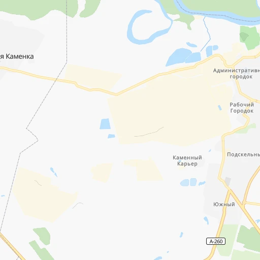
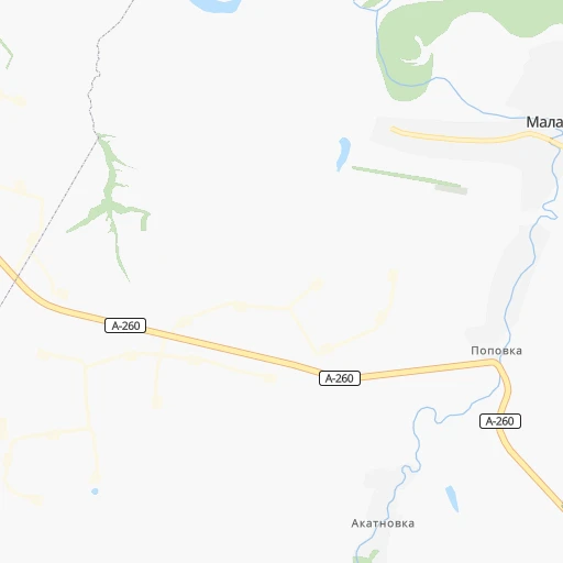
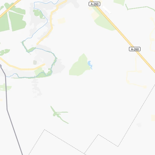
Roadmap (route) to go from Kamensk-Shakhtinskiy to Morozovsk detailed above, you can also see the course layout on the map.
While doing trip Kamensk-Shakhtinskiy - Morozovsk by car, the calculated route ends at a distance , or more straight.
Distance and duration of the route between Kamensk-Shakhtinskiy and Morozovsk
Calculation of distance and route from Morozovsk to Kamensk-Shakhtinskiy :
115.8137.5 km2h50mn
Continue onto Коммунистический переулок 0h1mn 861 mKeep right onto улица Героев Пионеров 0h3mn 2.7 kmKeep left and drive toward Москва 0h2mn 1.5 kmKeep right 0h0mn 30 mTurn slight right onto Каменск-Шахтинский — Репная — Верхнеясиновский — А260 0h10mn 11.3 kmTurn right onto Каменск-Шахтинский — Репная — Верхнеясиновский — А260 0h10mn 8.5 kmTurn sharp right 0h2mn 1.4 kmTurn left onto А-260 0h14mn 19.1 kmAt roundabout, take exit 2 onto А-260 0h3mn 3.6 kmAt roundabout, take exit 2 onto А-260 1h33mn 45.4 kmAt roundabout, take exit 2 onto А-260 0h29mn 39.1 kmKeep right onto улица Халтурина 0h1mn 967 mTurn right 0h3mn 2.8 kmTurn left onto улица Подтёлкова 0h0mn 210 mArrive at destination 0h0mn 0 m
Travel from Kamensk-Shakhtinskiy (Rostov) to a selection of major cities.
Distances from Kamensk-Shakhtinskiy to biggest cities in Rostov
Other major cities in country :
- Barnaul [04], 599,579 inhabitants. 3,060 km
- Vladivostok [59], 587,022 inhabitants. 6,704 km
- Irkutsk [20], 586,695 inhabitants. 4,424 km
- Khabarovsk [30], 579,000 inhabitants. 6,515 km
- Khabarovsk Vtoroy [30], 578,303 inhabitants. 6,521 km
- Orenburg [55], 550,204 inhabitants. 1,126 km
- Novokuznetsk [29], 539,616 inhabitants. 3,273 km
- Ryazan' [62], 520,173 inhabitants. 703 km
- Tyumen [78], 519,119 inhabitants. 1,950 km
- Lipetsk [43], 515,655 inhabitants. 480 km
- Penza [57], 512,602 inhabitants. 638 km
- Naberezhnyye Chelny [73], 509,870 inhabitants. 1,169 km
- Kalininskiy [42], 504,641 inhabitants. 1,447 km
- Astrakhan [07], 502,533 inhabitants. 626 km
- Makhachkala [17], 497,959 inhabitants. 819 km
- Tomsk [75], 485,519 inhabitants. 3,108 km
- Kemerovo [29], 477,090 inhabitants. 3,185 km
- Tula [76], 468,825 inhabitants. 680 km
- Kirov [33], 457,383 inhabitants. 1,300 km
- Cheboksary [16], 446,781 inhabitants. 991 km
Route from Morozovsk to major cities (Russia).
- Distance Morozovsk Moscow872 km
- Distance Morozovsk Saint Petersburg1,487 km
- Distance Morozovsk Novosibirsk2,887 km
- Distance Morozovsk Yekaterinburg1,575 km
- Distance Morozovsk Nizhniy Novgorod900 km
- Distance Morozovsk Samara795 km
- Distance Morozovsk Omsk2,277 km
- Distance Morozovsk Kazan965 km
- Distance Morozovsk Chelyabinsk1,541 km
- Distance Morozovsk Ufa1,206 km
- Distance Morozovsk Volgograd201 km
- Distance Morozovsk Perm1,437 km
- Distance Morozovsk Krasnoyarsk3,500 km
- Distance Morozovsk Saratov464 km
- Distance Morozovsk Voronezh415 km
- Distance Morozovsk Tol'yatti780 km
- Distance Morozovsk Krasnodar428 km
- Distance Morozovsk Ulyanovsk806 km
- Distance Morozovsk Izhevsk1,216 km
- Distance Morozovsk Yaroslavl1,041 km
Nearest cities to Kamensk-Shakhtinskiy :
- Rostov-na-Donu, 1,074,482 inhabitants. 127 km
- Taganrog, 279,056 inhabitants. 158 km
- Staryy Oskol, 226,977 inhabitants. 374 km
- Shakhty, 221,312 inhabitants. 68 km
- Volgodonsk, 167,731 inhabitants. 167 km
- Novocherkassk, 166,974 inhabitants. 101 km
- Bataysk, 109,962 inhabitants. 137 km
- Novoshakhtinsk, 99,478 inhabitants. 67 km
- Yeysk, 87,814 inhabitants. 233 km
- Gubkin, 87,000 inhabitants. 383 km
- Azov, 82,133 inhabitants. 149 km
- Kropotkin, 79,599 inhabitants. 322 km
- Kamensk-Shakhtinskiy, 75,814 inhabitants. 0 km
- Gukovo, 66,079 inhabitants. 37 km
- Tikhoretsk, 64,387 inhabitants. 274 km
- Rossosh', 64,323 inhabitants. 336 km
- Rossosh', 62,000 inhabitants. 215 km
- Sal'sk, 61,000 inhabitants. 227 km
- Mikhaylovka, 58,898 inhabitants. 291 km
- Liski, 55,939 inhabitants. 302 km
- Timashevsk, 53,940 inhabitants. 317 km
- Donetsk, 50,850 inhabitants. 22 km
- Belaya Kalitva, 47,521 inhabitants. 41 km
- Kanevskaya, 45,334 inhabitants. 267 km
- Krasnyy Sulin, 44,133 inhabitants. 49 km
- Korenovsk, 41,665 inhabitants. 323 km
- Uryupinsk, 41,644 inhabitants. 304 km
- Alekseyevka, 39,848 inhabitants. 281 km
- Svetlograd, 39,727 inhabitants. 386 km
- Izobil'nyy, 39,022 inhabitants. 346 km
- Aksay, 38,871 inhabitants. 122 km
- Leningradskaya, 38,712 inhabitants. 232 km
- Millerovo, 38,527 inhabitants. 68 km
- Novovoronezh, 37,392 inhabitants. 341 km
- Valuyki, 35,887 inhabitants. 262 km
- Gul'kevichi, 34,953 inhabitants. 332 km
- Ostrogozhsk, 34,403 inhabitants. 296 km
- Primorsko-Akhtarsk, 33,102 inhabitants. 298 km
- Pavlovskaya, 31,133 inhabitants. 245 km
- Starominskaya, 30,461 inhabitants. 219 km
- Kushchevskaya, 29,915 inhabitants. 201 km
- Morozovsk, 29,289 inhabitants. 116 km
- Zernograd, 29,268 inhabitants. 164 km
- Ipatovo, 29,073 inhabitants. 352 km
- Krasnoarmeyskaya, 29,009 inhabitants. 364 km
- Buturlinovka, 28,581 inhabitants. 280 km
- Novoaleksandrovsk, 27,610 inhabitants. 323 km
- Pavlovsk, 26,565 inhabitants. 238 km
- Zverevo, 24,978 inhabitants. 35 km
- Tbilisskaya, 24,446 inhabitants. 329 km
Location Kamensk-Shakhtinskiy (Rostov) :
| Country flag |  |
| Location | Kamensk-Shakhtinskiy |
| State | Rostov |
| County | |
| Country | Russia |
| Country code / ISO 2 | RU |
| Latitude | 48.3177900 |
| Longitude | 40.2594800 |
| Altitude | 0 meters |
| Time zone | Europe/Moscow |
Location Morozovsk (Rostov) :
| Country flag | |
| Location | Morozovsk |
| State | Rostov |
| County | |
| Country | Russia |
| Country code / ISO 2 | RU |
| Latitude | 48.3550200 |
| Longitude | 41.8262700 |
| Altitude | 0 meters |
| Time zone | Europe/Moscow |