

How to get from Upton County (airport) (Texas) to Uvalde (Texas)
Calculate route from Upton County (airport) (Texas, United States) to Uvalde (Texas, United States).
The flight distance (as the crow flies) between Upton County (airport) and Uvalde is 316.7 km.
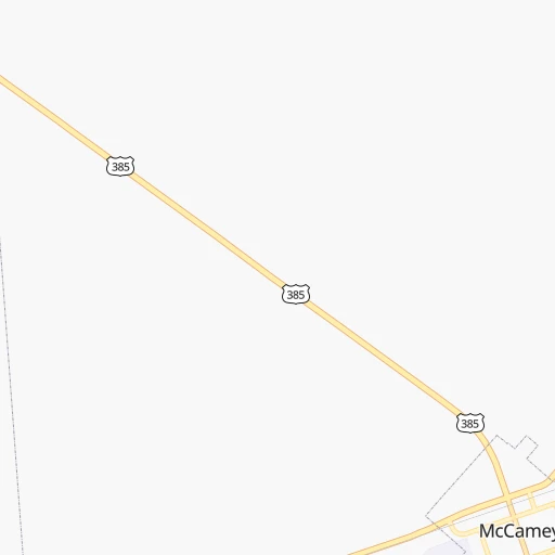
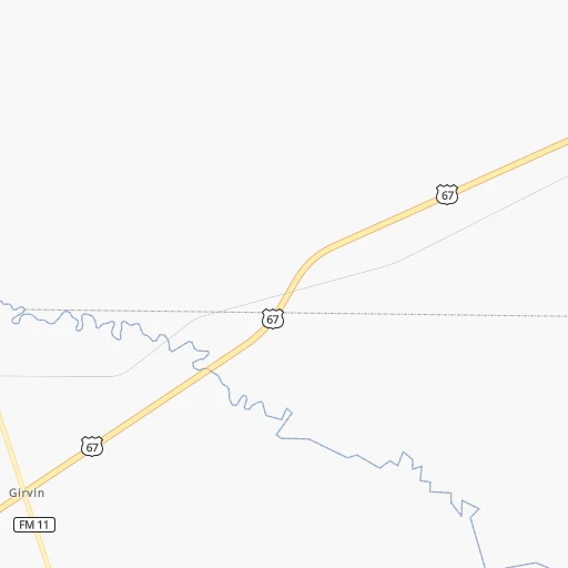
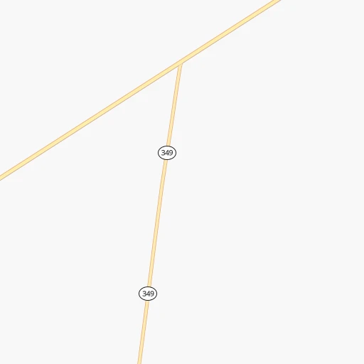
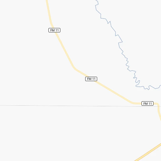
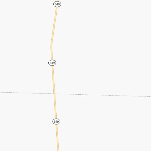
Roadmap (route) to go from Upton County Airport to Uvalde detailed above, you can also see the course layout on the map.
While doing trip Upton County (airport) - Uvalde by car, the calculated route ends at a distance , or more straight.
Distance and duration of the route between Upton County (airport) and Uvalde
Calculation of distance and route from Uvalde to Upton County (airport) :
316.7387.6 km5h44mn
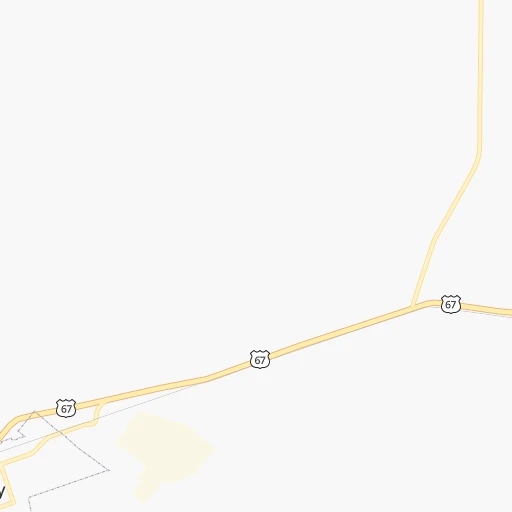
Continue 0h0mn 111 mTurn right onto West 11th Street 0h1mn 572 mTurn right onto South Burleson Avenue 0h28mn 30.5 kmTurn right onto US 190 0h6mn 6.7 kmTurn sharp left onto I 10 Service Road 0h0mn 126 mContinue and take I 10 East toward San Antonio 1h17mn 148.3 kmKeep right and take Loop 467 toward Sonora 0h0mn 236 mTurn left onto South Service Road 0h0mn 170 mContinue onto North Crockett Avenue 0h3mn 2.2 kmTurn right onto US 277 0h30mn 34.9 kmKeep left onto TX 55 1h46mn 53.6 kmTurn right onto TX 55 2h30mn 106.8 kmTurn right onto Bowie Street 0h0mn 371 mTurn left onto West Front Street 0h0mn 162 mTurn right onto North Getty Street 0h1mn 522 mKeep right 0h0mn 220 mContinue onto North Getty Street 0h2mn 2.1 kmArrive at destination 0h0mn 0 m
Travel from Upton County (airport) (Texas) to a selection of major cities.
Distances from Upton County Airport to biggest cities in Texas
- Killeen,140,806 inhabitants.429 km
- McAllen,140,269 inhabitants.673 km
- Carrollton,133,168 inhabitants.543 km
- Midland,132,950 inhabitants.98 km
- Waco,132,356 inhabitants.485 km
- Denton,131,044 inhabitants.533 km
- Abilene,121,721 inhabitants.278 km
- Odessa,118,968 inhabitants.81 km
- Beaumont,118,129 inhabitants.787 km
- Round Rock,115,997 inhabitants.440 km
- Richardson,110,815 inhabitants.557 km
- Pearland,108,821 inhabitants.689 km
- College Station,107,889 inhabitants.566 km
- Wichita Falls,104,710 inhabitants.468 km
- Lewisville,104,039 inhabitants.538 km
- Tyler,103,700 inhabitants.670 km
- San Angelo,100,450 inhabitants.174 km
- Alief,98,725 inhabitants.656 km
- League City,98,312 inhabitants.708 km
- Allen,98,143 inhabitants.568 km
Other major cities in country :
- Memphis [TN], 655,770 inhabitants. 1,219 km
- New South Memphis [TN], 641,608 inhabitants. 1,216 km
- Portland [OR], 632,309 inhabitants. 2,387 km
- Oklahoma City [OK], 631,346 inhabitants. 652 km
- Las Vegas [NV], 623,747 inhabitants. 1,320 km
- Baltimore [MD], 621,849 inhabitants. 2,490 km
- Washington, D.C. [DC], 601,723 inhabitants. 2,444 km
- Milwaukee [WI], 600,155 inhabitants. 1,832 km
- South Boston [MA], 571,281 inhabitants. 3,026 km
- Albuquerque [NM], 559,121 inhabitants. 604 km
- Tucson [AZ], 531,641 inhabitants. 833 km
- Nashville [TN], 530,852 inhabitants. 1,535 km
- Fresno [CA], 520,052 inhabitants. 1,734 km
- Sacramento [CA], 490,712 inhabitants. 1,941 km
- Kansas City [MO], 475,378 inhabitants. 1,127 km
- Long Beach [CA], 474,140 inhabitants. 1,526 km
- Mesa [AZ], 471,825 inhabitants. 938 km
- Staten Island [NY], 468,730 inhabitants. 2,729 km
- Atlanta [GA], 463,878 inhabitants. 1,699 km
- Colorado Springs [CO], 456,568 inhabitants. 890 km
Route from Uvalde to major cities (United States).
- Distance Uvalde New York City2,664 km
- Distance Uvalde Los Angeles1,828 km
- Distance Uvalde Chicago1,782 km
- Distance Uvalde Brooklyn2,666 km
- Distance Uvalde Queens2,676 km
- Distance Uvalde Philadelphia2,542 km
- Distance Uvalde Phoenix1,259 km
- Distance Uvalde Manhattan2,669 km
- Distance Uvalde San Diego1,702 km
- Distance Uvalde The Bronx2,680 km
- Distance Uvalde San Jose2,241 km
- Distance Uvalde Jacksonville1,754 km
- Distance Uvalde San Francisco2,299 km
- Distance Uvalde Columbus1,943 km
- Distance Uvalde Indianapolis1,712 km
- Distance Uvalde Charlotte1,902 km
- Distance Uvalde Seattle2,819 km
- Distance Uvalde Denver1,265 km
- Distance Uvalde Detroit2,095 km
- Distance Uvalde Boston2,958 km
Nearest cities to Upton County (airport) :
- Lubbock, 249,042 inhabitants. 275 km
- Midland, 132,950 inhabitants. 98 km
- Abilene, 121,721 inhabitants. 278 km
- Odessa, 118,968 inhabitants. 81 km
- San Angelo, 100,450 inhabitants. 174 km
- Roswell, 48,544 inhabitants. 333 km
- Hobbs, 38,416 inhabitants. 195 km
- Del Rio, 36,153 inhabitants. 234 km
- Carlsbad, 28,957 inhabitants. 238 km
- Big Spring, 28,862 inhabitants. 144 km
- Eagle Pass, 28,765 inhabitants. 316 km
- West Odessa, 22,707 inhabitants. 84 km
- Uvalde, 16,476 inhabitants. 317 km
- Levelland, 13,914 inhabitants. 274 km
- Andrews, 13,816 inhabitants. 136 km
- Artesia, 12,036 inhabitants. 281 km
- Lovington, 11,800 inhabitants. 228 km
- Snyder, 11,768 inhabitants. 216 km
- Sweetwater, 10,809 inhabitants. 228 km
- Brownfield, 9,736 inhabitants. 229 km
- Pecos, 9,517 inhabitants. 125 km
- Lamesa, 9,427 inhabitants. 181 km
- Eidson Road, 8,960 inhabitants. 320 km
- Fort Stockton, 8,649 inhabitants. 67 km
- Cleveland, 7,936 inhabitants. 289 km
- Monahans, 7,690 inhabitants. 82 km
- Crystal City, 7,496 inhabitants. 358 km
- Seminole, 7,448 inhabitants. 182 km
- Kermit, 6,434 inhabitants. 116 km
- Littlefield, 6,090 inhabitants. 311 km
- Slaton, 6,072 inhabitants. 263 km
- Alpine, 5,952 inhabitants. 162 km
- Carrizo Springs, 5,898 inhabitants. 369 km
- Brady, 5,549 inhabitants. 276 km
- Post, 5,349 inhabitants. 243 km
- Denver City, 4,864 inhabitants. 212 km
- Coleman, 4,393 inhabitants. 277 km
- Wolfforth, 4,249 inhabitants. 266 km
- Cotulla, 4,216 inhabitants. 416 km
- Colorado City, 4,117 inhabitants. 191 km
- Presidio, 3,904 inhabitants. 270 km
- Crane, 3,895 inhabitants. 32 km
- Rosita North, 3,818 inhabitants. 325 km
- Clyde, 3,771 inhabitants. 295 km
- Ballinger, 3,767 inhabitants. 227 km
- Cienegas Terrace, 3,424 inhabitants. 231 km
- Big Lake, 3,315 inhabitants. 73 km
- Las Quintas Fronterizas Colonia, 3,290 inhabitants. 320 km
- Las Quintas Fronterizas, 3,290 inhabitants. 320 km
- Medina, 3,247 inhabitants. 322 km
Location Upton County (airport) (Texas) :
| Country flag |  |
| Location | Upton County (airport) |
| State | Texas |
| County | Upton County |
| Country | United States |
| Country code / ISO 2 | US |
| Latitude | 31.1254400 |
| Longitude | -102.2271300 |
| Altitude | 742 meters |
| Time zone | America/Chicago |
Location Uvalde (Texas) :
| Country flag | |
| Location | Uvalde |
| State | Texas |
| County | Uvalde County |
| Country | United States |
| Country code / ISO 2 | US |
| Latitude | 29.2096800 |
| Longitude | -99.7861700 |
| Altitude | 277 meters |
| Time zone | America/Chicago |