
How to get from Two Leggs (airport) (Texas) to West Odessa (Texas)
Calculate route from Two Leggs (airport) (Texas, United States) to West Odessa (Texas, United States).
The flight distance (as the crow flies) between Two Leggs (airport) and West Odessa is 131.2 km.
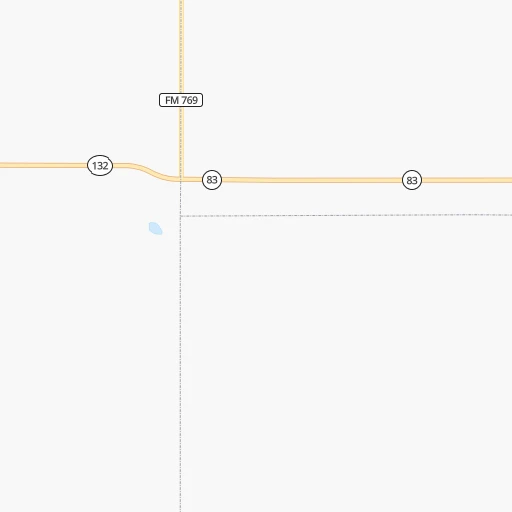
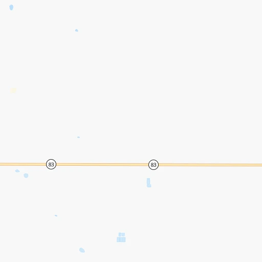
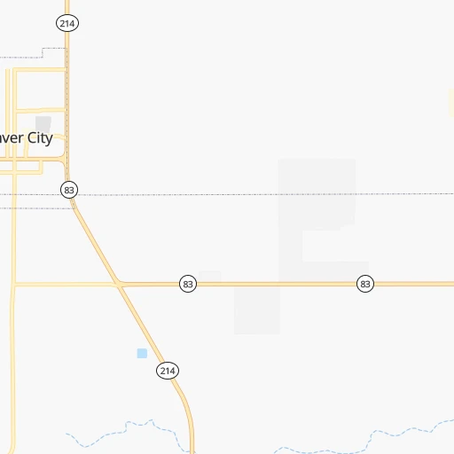
Roadmap (route) to go from Two Leggs Airport to West Odessa detailed above, you can also see the course layout on the map.
While doing trip Two Leggs (airport) - West Odessa by car, the calculated route ends at a distance , or more straight.
Distance and duration of the route between Two Leggs (airport) and West Odessa
Calculation of distance and route from West Odessa to Two Leggs (airport) :
131.2160.4 km2h10mn
Continue onto County Road 230 0h0mn 82 mTurn left onto County Road 233 0h4mn 2.2 kmTurn right onto TX 83 0h15mn 16.5 kmKeep right 0h0mn 208 mTurn slight right onto TX 83, TX 214 0h30mn 32.5 kmTurn slight left onto West Avenue A 0h0mn 424 mTurn right onto South Main Street 1h3mn 87.6 kmKeep right 0h10mn 12.3 kmKeep right toward FM 2020 0h0mn 349 mKeep right 0h0mn 42 mTurn right onto West University Boulevard 0h7mn 8.2 kmTurn right 0h0mn 24 mTurn right 0h0mn 30 mArrive at destination 0h0mn 0 m
Travel from Two Leggs (airport) (Texas) to a selection of major cities.
Distances from Two Leggs Airport to biggest cities in Texas
- Killeen,140,806 inhabitants.537 km
- McAllen,140,269 inhabitants.881 km
- Carrollton,133,168 inhabitants.570 km
- Midland,132,950 inhabitants.136 km
- Waco,132,356 inhabitants.572 km
- Denton,131,044 inhabitants.548 km
- Abilene,121,721 inhabitants.311 km
- Odessa,118,968 inhabitants.136 km
- Beaumont,118,129 inhabitants.902 km
- Round Rock,115,997 inhabitants.572 km
- Richardson,110,815 inhabitants.585 km
- Pearland,108,821 inhabitants.824 km
- College Station,107,889 inhabitants.681 km
- Wichita Falls,104,710 inhabitants.432 km
- Lewisville,104,039 inhabitants.561 km
- Tyler,103,700 inhabitants.724 km
- San Angelo,100,450 inhabitants.292 km
- Alief,98,725 inhabitants.790 km
- League City,98,312 inhabitants.844 km
- Allen,98,143 inhabitants.591 km
Other major cities in country :
- Memphis [TN], 655,770 inhabitants. 1,218 km
- New South Memphis [TN], 641,608 inhabitants. 1,217 km
- Portland [OR], 632,309 inhabitants. 2,189 km
- Oklahoma City [OK], 631,346 inhabitants. 577 km
- Las Vegas [NV], 623,747 inhabitants. 1,169 km
- Baltimore [MD], 621,849 inhabitants. 2,466 km
- Washington, D.C. [DC], 601,723 inhabitants. 2,423 km
- Milwaukee [WI], 600,155 inhabitants. 1,732 km
- South Boston [MA], 571,281 inhabitants. 2,983 km
- Albuquerque [NM], 559,121 inhabitants. 413 km
- Tucson [AZ], 531,641 inhabitants. 748 km
- Nashville [TN], 530,852 inhabitants. 1,527 km
- Fresno [CA], 520,052 inhabitants. 1,587 km
- Sacramento [CA], 490,712 inhabitants. 1,781 km
- Kansas City [MO], 475,378 inhabitants. 1,021 km
- Long Beach [CA], 474,140 inhabitants. 1,414 km
- Mesa [AZ], 471,825 inhabitants. 824 km
- Staten Island [NY], 468,730 inhabitants. 2,696 km
- Atlanta [GA], 463,878 inhabitants. 1,731 km
- Colorado Springs [CO], 456,568 inhabitants. 676 km
Route from West Odessa to major cities (United States).
- Distance West Odessa New York City2,726 km
- Distance West Odessa Los Angeles1,490 km
- Distance West Odessa Chicago1,725 km
- Distance West Odessa Brooklyn2,729 km
- Distance West Odessa Queens2,739 km
- Distance West Odessa Philadelphia2,612 km
- Distance West Odessa Phoenix915 km
- Distance West Odessa Manhattan2,731 km
- Distance West Odessa San Diego1,383 km
- Distance West Odessa The Bronx2,741 km
- Distance West Odessa San Jose1,876 km
- Distance West Odessa Jacksonville1,991 km
- Distance West Odessa San Francisco1,932 km
- Distance West Odessa Columbus1,971 km
- Distance West Odessa Indianapolis1,715 km
- Distance West Odessa Charlotte2,040 km
- Distance West Odessa Seattle2,428 km
- Distance West Odessa Denver907 km
- Distance West Odessa Detroit2,077 km
- Distance West Odessa Boston3,005 km
Nearest cities to Two Leggs (airport) :
- Lubbock, 249,042 inhabitants. 128 km
- Amarillo, 198,645 inhabitants. 275 km
- Midland, 132,950 inhabitants. 136 km
- Odessa, 118,968 inhabitants. 136 km
- San Angelo, 100,450 inhabitants. 292 km
- Santa Fe, 84,099 inhabitants. 408 km
- Roswell, 48,544 inhabitants. 151 km
- Clovis, 39,480 inhabitants. 164 km
- Hobbs, 38,416 inhabitants. 30 km
- Alamogordo, 30,753 inhabitants. 277 km
- Carlsbad, 28,957 inhabitants. 129 km
- Big Spring, 28,862 inhabitants. 162 km
- West Odessa, 22,707 inhabitants. 131 km
- Plainview, 20,919 inhabitants. 183 km
- Pampa, 18,177 inhabitants. 344 km
- Hereford, 15,021 inhabitants. 215 km
- Dumas, 15,001 inhabitants. 338 km
- Canyon, 14,887 inhabitants. 247 km
- Levelland, 13,914 inhabitants. 92 km
- Andrews, 13,816 inhabitants. 82 km
- Las Vegas, 13,386 inhabitants. 359 km
- Borger, 12,964 inhabitants. 337 km
- Artesia, 12,036 inhabitants. 132 km
- Portales, 11,995 inhabitants. 142 km
- Lovington, 11,800 inhabitants. 33 km
- Snyder, 11,768 inhabitants. 196 km
- Sweetwater, 10,809 inhabitants. 248 km
- Brownfield, 9,736 inhabitants. 72 km
- Pecos, 9,517 inhabitants. 176 km
- Lamesa, 9,427 inhabitants. 101 km
- Fort Stockton, 8,649 inhabitants. 229 km
- Ruidoso, 7,739 inhabitants. 253 km
- Monahans, 7,690 inhabitants. 151 km
- Seminole, 7,448 inhabitants. 42 km
- Kermit, 6,434 inhabitants. 121 km
- Eldorado at Santa Fe, 6,130 inhabitants. 394 km
- Childress, 6,101 inhabitants. 307 km
- Littlefield, 6,090 inhabitants. 125 km
- Slaton, 6,072 inhabitants. 138 km
- Alpine, 5,952 inhabitants. 295 km
- Post, 5,349 inhabitants. 153 km
- Muleshoe, 5,185 inhabitants. 145 km
- Tucumcari, 5,025 inhabitants. 257 km
- Denver City, 4,864 inhabitants. 16 km
- Tulia, 4,760 inhabitants. 211 km
- Wolfforth, 4,249 inhabitants. 111 km
- Dimmitt, 4,195 inhabitants. 190 km
- Colorado City, 4,117 inhabitants. 209 km
- Crane, 3,895 inhabitants. 183 km
- Friona, 3,894 inhabitants. 191 km
Location Two Leggs (airport) (Texas) :
| Country flag |  |
| Location | Two Leggs (airport) |
| State | Texas |
| County | Gaines County |
| Country | United States |
| Country code / ISO 2 | US |
| Latitude | 32.9451500 |
| Longitude | -102.9977300 |
| Altitude | 1121 meters |
| Time zone | America/Chicago |
Location West Odessa (Texas) :
| Country flag | |
| Location | West Odessa |
| State | Texas |
| County | Ector County |
| Country | United States |
| Country code / ISO 2 | US |
| Latitude | 31.8423500 |
| Longitude | -102.4987600 |
| Altitude | 903 meters |
| Time zone | America/Chicago |