
How to get from T-Bar (airport) (Texas) to Seminole (Texas)
Calculate route from T-Bar (airport) (Texas, United States) to Seminole (Texas, United States).
The flight distance (as the crow flies) between T-Bar (airport) and Seminole is 91.9 km.
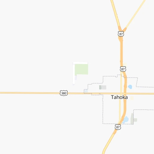
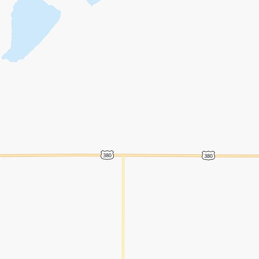
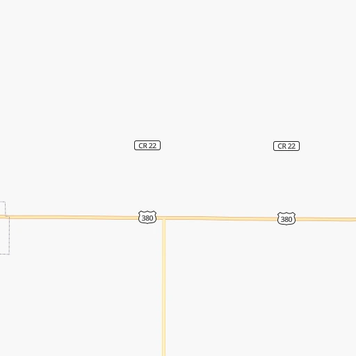
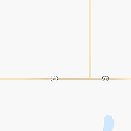
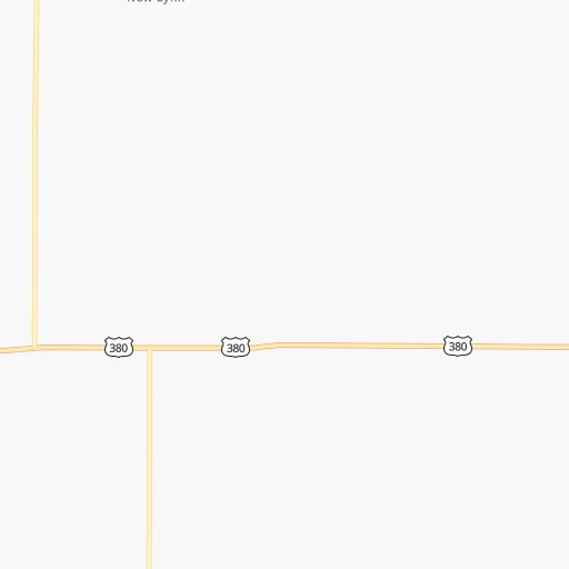
Roadmap (route) to go from T-Bar Airport to Seminole detailed above, you can also see the course layout on the map.
While doing trip T-Bar (airport) - Seminole by car, the calculated route ends at a distance , or more straight.
Distance and duration of the route between T-Bar (airport) and Seminole
Calculation of distance and route from Seminole to T-Bar (airport) :
91.9109.2 km2h37mn
Continue 0h1mn 503 mTurn left onto County Road P 0h1mn 428 mTurn right onto US 380 1h39mn 42.4 kmTurn left onto North 1st Street 1h56mn 65.9 kmTurn left onto East Avenue A 0h0mn 14 mArrive at destination 0h0mn 0 m
Travel from T-Bar (airport) (Texas) to a selection of major cities.
Distances from T-Bar Airport to biggest cities in Texas
- Killeen,140,806 inhabitants.449 km
- McAllen,140,269 inhabitants.850 km
- Carrollton,133,168 inhabitants.461 km
- Midland,132,950 inhabitants.133 km
- Waco,132,356 inhabitants.475 km
- Denton,131,044 inhabitants.437 km
- Abilene,121,721 inhabitants.211 km
- Odessa,118,968 inhabitants.156 km
- Beaumont,118,129 inhabitants.808 km
- Round Rock,115,997 inhabitants.491 km
- Richardson,110,815 inhabitants.476 km
- Pearland,108,821 inhabitants.740 km
- College Station,107,889 inhabitants.591 km
- Wichita Falls,104,710 inhabitants.320 km
- Lewisville,104,039 inhabitants.450 km
- Tyler,103,700 inhabitants.617 km
- San Angelo,100,450 inhabitants.231 km
- Alief,98,725 inhabitants.706 km
- League City,98,312 inhabitants.758 km
- Allen,98,143 inhabitants.480 km
Other major cities in country :
- Memphis [TN], 655,770 inhabitants. 1,106 km
- New South Memphis [TN], 641,608 inhabitants. 1,104 km
- Portland [OR], 632,309 inhabitants. 2,250 km
- Oklahoma City [OK], 631,346 inhabitants. 471 km
- Las Vegas [NV], 623,747 inhabitants. 1,263 km
- Baltimore [MD], 621,849 inhabitants. 2,355 km
- Washington, D.C. [DC], 601,723 inhabitants. 2,312 km
- Milwaukee [WI], 600,155 inhabitants. 1,637 km
- South Boston [MA], 571,281 inhabitants. 2,875 km
- Albuquerque [NM], 559,121 inhabitants. 493 km
- Tucson [AZ], 531,641 inhabitants. 859 km
- Nashville [TN], 530,852 inhabitants. 1,415 km
- Fresno [CA], 520,052 inhabitants. 1,682 km
- Sacramento [CA], 490,712 inhabitants. 1,869 km
- Kansas City [MO], 475,378 inhabitants. 926 km
- Long Beach [CA], 474,140 inhabitants. 1,520 km
- Mesa [AZ], 471,825 inhabitants. 931 km
- Staten Island [NY], 468,730 inhabitants. 2,586 km
- Atlanta [GA], 463,878 inhabitants. 1,618 km
- Colorado Springs [CO], 456,568 inhabitants. 685 km
Route from Seminole to major cities (United States).
- Distance Seminole New York City2,692 km
- Distance Seminole Los Angeles1,456 km
- Distance Seminole Chicago1,668 km
- Distance Seminole Brooklyn2,695 km
- Distance Seminole Queens2,705 km
- Distance Seminole Philadelphia2,580 km
- Distance Seminole Phoenix883 km
- Distance Seminole Manhattan2,696 km
- Distance Seminole San Diego1,359 km
- Distance Seminole The Bronx2,706 km
- Distance Seminole San Jose1,825 km
- Distance Seminole Jacksonville2,006 km
- Distance Seminole San Francisco1,880 km
- Distance Seminole Columbus1,932 km
- Distance Seminole Indianapolis1,672 km
- Distance Seminole Charlotte2,028 km
- Distance Seminole Seattle2,343 km
- Distance Seminole Denver809 km
- Distance Seminole Detroit2,027 km
- Distance Seminole Boston2,966 km
Nearest cities to T-Bar (airport) :
- Lubbock, 249,042 inhabitants. 45 km
- Amarillo, 198,645 inhabitants. 228 km
- Midland, 132,950 inhabitants. 133 km
- Abilene, 121,721 inhabitants. 211 km
- Odessa, 118,968 inhabitants. 156 km
- San Angelo, 100,450 inhabitants. 231 km
- Roswell, 48,544 inhabitants. 253 km
- Clovis, 39,480 inhabitants. 187 km
- Hobbs, 38,416 inhabitants. 133 km
- Carlsbad, 28,957 inhabitants. 240 km
- Big Spring, 28,862 inhabitants. 108 km
- West Odessa, 22,707 inhabitants. 161 km
- Plainview, 20,919 inhabitants. 113 km
- Altus, 19,214 inhabitants. 282 km
- Brownwood, 19,031 inhabitants. 312 km
- Pampa, 18,177 inhabitants. 275 km
- Hereford, 15,021 inhabitants. 190 km
- Dumas, 15,001 inhabitants. 300 km
- Canyon, 14,887 inhabitants. 201 km
- Levelland, 13,914 inhabitants. 69 km
- Andrews, 13,816 inhabitants. 117 km
- Borger, 12,964 inhabitants. 280 km
- Elk City, 12,717 inhabitants. 334 km
- Artesia, 12,036 inhabitants. 244 km
- Portales, 11,995 inhabitants. 180 km
- Lovington, 11,800 inhabitants. 145 km
- Snyder, 11,768 inhabitants. 99 km
- Fredericksburg, 11,094 inhabitants. 427 km
- Sweetwater, 10,809 inhabitants. 154 km
- Vernon, 10,573 inhabitants. 261 km
- Brownfield, 9,736 inhabitants. 42 km
- Clinton, 9,565 inhabitants. 370 km
- Pecos, 9,517 inhabitants. 250 km
- Lamesa, 9,427 inhabitants. 50 km
- Fort Stockton, 8,649 inhabitants. 273 km
- Dalhart, 8,370 inhabitants. 327 km
- Cleveland, 7,936 inhabitants. 293 km
- Monahans, 7,690 inhabitants. 203 km
- Seminole, 7,448 inhabitants. 92 km
- Kermit, 6,434 inhabitants. 189 km
- Childress, 6,101 inhabitants. 205 km
- Littlefield, 6,090 inhabitants. 95 km
- Slaton, 6,072 inhabitants. 34 km
- Alpine, 5,952 inhabitants. 359 km
- Breckenridge, 5,590 inhabitants. 277 km
- Brady, 5,549 inhabitants. 326 km
- Post, 5,349 inhabitants. 41 km
- Muleshoe, 5,185 inhabitants. 144 km
- Tucumcari, 5,025 inhabitants. 283 km
- Denver City, 4,864 inhabitants. 97 km
Location T-Bar (airport) (Texas) :
| Country flag |  |
| Location | T-Bar (airport) |
| State | Texas |
| County | Lynn County |
| Country | United States |
| Country code / ISO 2 | US |
| Latitude | 33.1740200 |
| Longitude | -101.8222300 |
| Altitude | 950 meters |
| Time zone | America/Chicago |
Location Seminole (Texas) :
| Country flag | |
| Location | Seminole |
| State | Texas |
| County | Gaines County |
| Country | United States |
| Country code / ISO 2 | US |
| Latitude | 32.7189900 |
| Longitude | -102.6449100 |
| Altitude | 1005 meters |
| Time zone | America/Chicago |
