
How to get from Stantsiya Kanyutino (Smolensk) to Navlya (Bryansk Oblast)
Calculate route from Stantsiya Kanyutino (Smolensk, Russia) to Navlya (Bryansk Oblast, Russia).
The flight distance (as the crow flies) between Stantsiya Kanyutino and Navlya is 311.7 km.
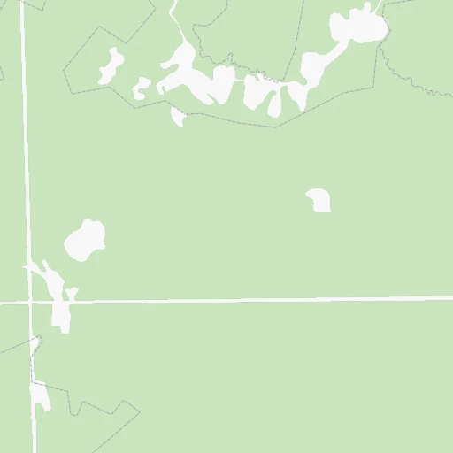
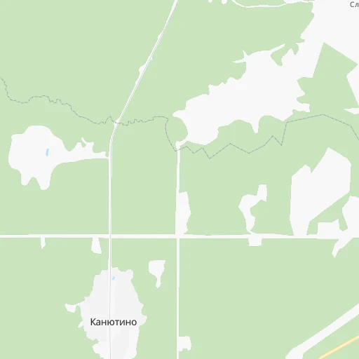
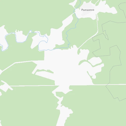
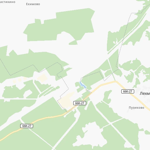
Roadmap (route) to go from Stantsiya Kanyutino to Navlya detailed above, you can also see the course layout on the map.
While doing trip Stantsiya Kanyutino - Navlya by car, the calculated route ends at a distance , or more straight.
Distance and duration of the route between Stantsiya Kanyutino and Navlya
Calculation of distance and route from Navlya to Stantsiya Kanyutino :
311.7414.2 km6h26mn
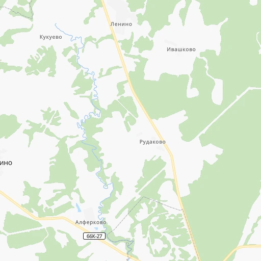
Continue 0h0mn 121 mContinue 0h1mn 451 mTurn slight right 0h2mn 793 mTurn left onto 66К-27 0h18mn 15.3 kmTurn left onto 66К-27 0h0mn 10 mTurn right onto улица Карла Маркса 0h6mn 3.1 kmContinue onto 66К-21 0h28mn 38.2 kmTurn right onto «Беларусь» 0h11mn 13.8 kmTurn sharp left onto М-1 0h4mn 4.5 kmKeep left 0h2mn 1.4 kmTurn sharp right 0h1mn 185 mTurn left 0h1mn 325 mTurn sharp left onto 66К-16 0h16mn 17.7 kmContinue 0h1mn 1.1 kmContinue onto улица Чистякова 0h3mn 2.1 kmTurn right onto улица Карла Маркса 0h1mn 1.3 kmKeep left onto улица Лермонтова 0h1mn 1.1 kmContinue onto 66Н-0604 0h1mn 1.4 kmContinue onto 66К-16 1h31mn 34.4 kmContinue 0h1mn 1.3 kmTurn right onto Пролетарская улица 0h1mn 1.3 kmTurn left onto Первомайская улица 0h0mn 444 mTurn right onto улица Генерала Калинина 0h0mn 138 mTurn left onto Рославльская улица 0h0mn 480 mTurn right onto Рославльское шоссе 0h1mn 1.3 kmContinue onto 66К-16 1h11mn 71.0 kmKeep left 0h2mn 2.3 kmTurn right onto улица Головлева 0h3mn 2.7 kmAt roundabout, take exit 3 onto улица Карла Маркса 2h47mn 123.3 kmKeep left onto Р-120 0h11mn 9.0 kmAt roundabout, take exit 2 onto Красноармейская улица 0h1mn 967 mAt roundabout, take exit 2 0h3mn 2.8 kmKeep right 0h2mn 1.8 kmKeep right onto Московский проспект 0h6mn 6.1 kmAt roundabout, take exit 2 onto Московский проспект 0h3mn 2.9 kmKeep right onto Р-120 0h6mn 6.2 kmKeep right and take М-3 toward Киев 0h1mn 618 mContinue onto «Украина» 1h34mn 39.4 kmKeep right 0h1mn 697 mContinue onto улица Розы Люксембург 0h2mn 1.8 kmTurn right onto улица Леонардо Гарсиа 0h1mn 292 mArrive at destination 0h0mn 0 m
Travel from Stantsiya Kanyutino (Bryansk Oblast) to a selection of major cities.
Distances from Stantsiya Kanyutino to biggest cities in Smolensk
Other major cities in country :
- Yaroslavl [88], 606,730 inhabitants. 468 km
- Barnaul [04], 599,579 inhabitants. 3,206 km
- Vladivostok [59], 587,022 inhabitants. 6,669 km
- Irkutsk [20], 586,695 inhabitants. 4,466 km
- Khabarovsk [30], 579,000 inhabitants. 6,377 km
- Khabarovsk Vtoroy [30], 578,303 inhabitants. 6,384 km
- Orenburg [55], 550,204 inhabitants. 1,494 km
- Novokuznetsk [29], 539,616 inhabitants. 3,387 km
- Ryazan' [62], 520,173 inhabitants. 423 km
- Tyumen [78], 519,119 inhabitants. 1,981 km
- Lipetsk [43], 515,655 inhabitants. 526 km
- Penza [57], 512,602 inhabitants. 804 km
- Naberezhnyye Chelny [73], 509,870 inhabitants. 1,201 km
- Kalininskiy [42], 504,641 inhabitants. 525 km
- Astrakhan [07], 502,533 inhabitants. 1,451 km
- Makhachkala [17], 497,959 inhabitants. 1,732 km
- Tomsk [75], 485,519 inhabitants. 3,144 km
- Kemerovo [29], 477,090 inhabitants. 3,255 km
- Tula [76], 468,825 inhabitants. 317 km
- Kirov [33], 457,383 inhabitants. 1,047 km
Route from Navlya to major cities (Russia).
- Distance Navlya Moscow384 km
- Distance Navlya Saint Petersburg832 km
- Distance Navlya Novosibirsk3,120 km
- Distance Navlya Yekaterinburg1,721 km
- Distance Navlya Nizhniy Novgorod726 km
- Distance Navlya Samara1,047 km
- Distance Navlya Omsk2,527 km
- Distance Navlya Kazan1,003 km
- Distance Navlya Rostov-na-Donu726 km
- Distance Navlya Chelyabinsk1,770 km
- Distance Navlya Ufa1,422 km
- Distance Navlya Volgograd838 km
- Distance Navlya Perm1,482 km
- Distance Navlya Krasnoyarsk3,683 km
- Distance Navlya Saratov798 km
- Distance Navlya Voronezh344 km
- Distance Navlya Tol'yatti992 km
- Distance Navlya Krasnodar925 km
- Distance Navlya Ulyanovsk931 km
- Distance Navlya Izhevsk1,275 km
Nearest cities to Stantsiya Kanyutino :
- Bryansk, 427,236 inhabitants. 264 km
- Tver, 400,212 inhabitants. 221 km
- Orel, 324,200 inhabitants. 340 km
- Smolensk, 320,991 inhabitants. 114 km
- Velikiy Novgorod, 215,062 inhabitants. 354 km
- Velikiye Luki, 103,149 inhabitants. 191 km
- Klintsy, 66,336 inhabitants. 316 km
- Rzhev, 62,246 inhabitants. 105 km
- Roslavl', 56,971 inhabitants. 178 km
- Borovichi, 56,571 inhabitants. 320 km
- Vyaz'ma, 55,500 inhabitants. 75 km
- Vyshniy Volochek, 53,800 inhabitants. 243 km
- Yartsevo, 52,706 inhabitants. 63 km
- Torzhok, 48,546 inhabitants. 199 km
- Safonovo, 46,637 inhabitants. 43 km
- Novozybkov, 42,571 inhabitants. 344 km
- Lyudinovo, 41,392 inhabitants. 201 km
- Kirov, 39,319 inhabitants. 177 km
- Staraya Russa, 34,303 inhabitants. 297 km
- Dyat'kovo, 33,200 inhabitants. 227 km
- Desnogorsk, 32,451 inhabitants. 154 km
- Udomlya, 32,373 inhabitants. 282 km
- Mozhaysk, 31,557 inhabitants. 175 km
- Unecha, 29,028 inhabitants. 302 km
- Gagarin, 28,879 inhabitants. 110 km
- Nelidovo, 25,349 inhabitants. 82 km
- Bologoye, 25,142 inhabitants. 266 km
- Volokolamsk, 25,000 inhabitants. 179 km
- Karachev, 19,757 inhabitants. 291 km
- Zhukovka, 19,690 inhabitants. 225 km
- Ostashkov, 19,563 inhabitants. 180 km
- Kozel'sk, 19,500 inhabitants. 232 km
- Valday, 18,549 inhabitants. 272 km
- Starodub, 18,539 inhabitants. 330 km
- Sel'tso, 18,167 inhabitants. 247 km
- Kondrovo, 17,151 inhabitants. 188 km
- Sukhinichi, 16,100 inhabitants. 208 km
- Trubchevsk, 16,100 inhabitants. 330 km
- Belev, 15,300 inhabitants. 267 km
- Pochep, 15,100 inhabitants. 290 km
- Tovarkovo, 14,294 inhabitants. 196 km
- Toropets, 14,187 inhabitants. 147 km
- Verkhnedneprovskiy, 13,903 inhabitants. 62 km
- Okulovka, 13,852 inhabitants. 319 km
- Navlya, 13,735 inhabitants. 312 km
- Kletnya, 13,658 inhabitants. 239 km
- Ruza, 13,480 inhabitants. 186 km
- Sosenskiy, 12,484 inhabitants. 239 km
- Dorogobuzh, 12,293 inhabitants. 69 km
- Likhoslavl', 12,290 inhabitants. 224 km
Location Stantsiya Kanyutino (Smolensk) :
| Country flag |  |
| Location | Stantsiya Kanyutino |
| State | Smolensk |
| County | |
| Country | Russia |
| Country code / ISO 2 | RU |
| Latitude | 55.5333300 |
| Longitude | 33.2500000 |
| Altitude | 0 meters |
| Time zone | Europe/Moscow |
Location Navlya (Bryansk Oblast) :
| Country flag | |
| Location | Navlya |
| State | Bryansk Oblast |
| County | |
| Country | Russia |
| Country code / ISO 2 | RU |
| Latitude | 52.8254400 |
| Longitude | 34.4996000 |
| Altitude | 0 meters |
| Time zone | Europe/Moscow |