
How to get from Dimmitt Municipal (airport) (Texas) to Perryton (Texas)
Calculate route from Dimmitt Municipal (airport) (Texas, United States) to Perryton (Texas, United States).
The flight distance (as the crow flies) between Dimmitt Municipal (airport) and Perryton is 245.4 km.
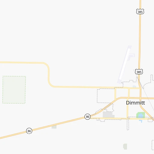
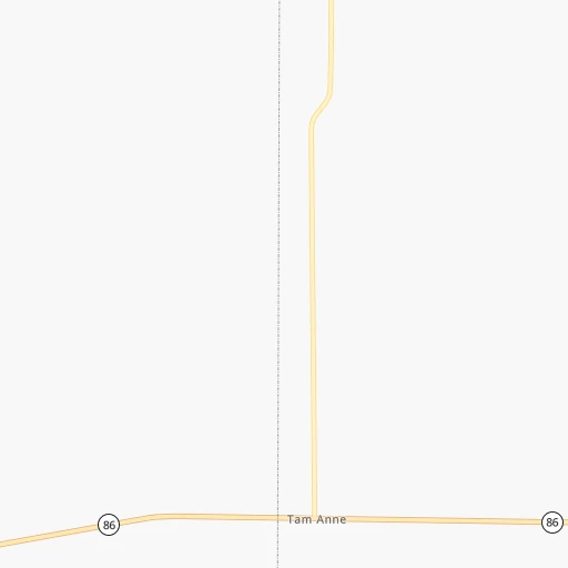
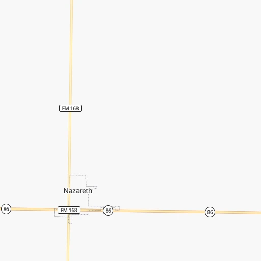
Roadmap (route) to go from Dimmitt Municipal Airport to Perryton detailed above, you can also see the course layout on the map.
While doing trip Dimmitt Municipal (airport) - Perryton by car, the calculated route ends at a distance , or more straight.
Distance and duration of the route between Dimmitt Municipal (airport) and Perryton
Calculation of distance and route from Perryton to Dimmitt Municipal (airport) :
245.4293.4 km3h25mn
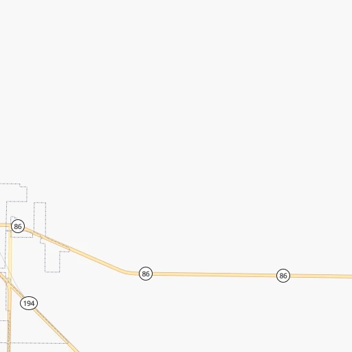
Continue 0h1mn 649 mTurn left onto US 385 0h18mn 20.1 kmTurn right onto FM 2943 0h11mn 11.1 kmTurn right onto US 60, FM 2943 1h33mn 44.1 kmKeep left onto US 60 and take US 60 East, US 87 North, To I 27 toward Amarillo 0h16mn 25.2 kmKeep right and take I 40, US 287 South toward Albuquerque, Oklahoma City, Fort Worth 0h0mn 185 mKeep right and take I 40 East, US 287 South toward Oklahoma City, Fort Worth 0h6mn 8.0 kmKeep right and take Loop 335 toward Lakeside Drive 0h1mn 656 mTurn left onto South Lakeside Drive 0h1mn 1.2 kmTurn slight right onto North Lakeside Drive 0h1mn 1.8 kmKeep right and take US 60, I 40 Business toward Amarillo Boulevard 0h0mn 494 mTurn right onto East Amarillo Boulevard 0h29mn 33.9 kmTurn slight right onto US Highway 60 0h20mn 33.0 kmContinue onto US 80 0h7mn 11.0 kmTurn left onto South Hobart Street 1h54mn 91.4 kmTurn left onto US Highway 83 0h8mn 10.7 kmTurn right onto East Brillhart Avenue 0h0mn 7 mArrive at destination 0h0mn 0 m
Travel from Dimmitt Municipal (airport) (Texas) to a selection of major cities.
Distances from Dimmitt Municipal Airport to biggest cities in Texas
- Killeen,140,806 inhabitants.576 km
- McAllen,140,269 inhabitants.1,010 km
- Carrollton,133,168 inhabitants.534 km
- Midland,132,950 inhabitants.287 km
- Waco,132,356 inhabitants.588 km
- Denton,131,044 inhabitants.502 km
- Abilene,121,721 inhabitants.337 km
- Odessa,118,968 inhabitants.303 km
- Beaumont,118,129 inhabitants.920 km
- Round Rock,115,997 inhabitants.627 km
- Richardson,110,815 inhabitants.548 km
- Pearland,108,821 inhabitants.866 km
- College Station,107,889 inhabitants.712 km
- Wichita Falls,104,710 inhabitants.359 km
- Lewisville,104,039 inhabitants.521 km
- Tyler,103,700 inhabitants.697 km
- San Angelo,100,450 inhabitants.388 km
- Alief,98,725 inhabitants.833 km
- League City,98,312 inhabitants.884 km
- Allen,98,143 inhabitants.547 km
Other major cities in country :
- Memphis [TN], 655,770 inhabitants. 1,122 km
- New South Memphis [TN], 641,608 inhabitants. 1,121 km
- Portland [OR], 632,309 inhabitants. 2,111 km
- Oklahoma City [OK], 631,346 inhabitants. 449 km
- Las Vegas [NV], 623,747 inhabitants. 1,176 km
- Baltimore [MD], 621,849 inhabitants. 2,339 km
- Washington, D.C. [DC], 601,723 inhabitants. 2,299 km
- Milwaukee [WI], 600,155 inhabitants. 1,562 km
- South Boston [MA], 571,281 inhabitants. 2,841 km
- Albuquerque [NM], 559,121 inhabitants. 400 km
- Tucson [AZ], 531,641 inhabitants. 841 km
- Nashville [TN], 530,852 inhabitants. 1,420 km
- Fresno [CA], 520,052 inhabitants. 1,595 km
- Sacramento [CA], 490,712 inhabitants. 1,768 km
- Kansas City [MO], 475,378 inhabitants. 854 km
- Long Beach [CA], 474,140 inhabitants. 1,463 km
- Mesa [AZ], 471,825 inhabitants. 886 km
- Staten Island [NY], 468,730 inhabitants. 2,562 km
- Atlanta [GA], 463,878 inhabitants. 1,652 km
- Colorado Springs [CO], 456,568 inhabitants. 525 km
Route from Perryton to major cities (United States).
- Distance Perryton New York City2,372 km
- Distance Perryton Los Angeles1,605 km
- Distance Perryton Chicago1,286 km
- Distance Perryton Brooklyn2,376 km
- Distance Perryton Queens2,386 km
- Distance Perryton Philadelphia2,270 km
- Distance Perryton Phoenix1,079 km
- Distance Perryton Manhattan2,376 km
- Distance Perryton San Diego1,553 km
- Distance Perryton The Bronx2,384 km
- Distance Perryton San Jose1,877 km
- Distance Perryton Jacksonville1,900 km
- Distance Perryton San Francisco1,921 km
- Distance Perryton Columbus1,605 km
- Distance Perryton Indianapolis1,335 km
- Distance Perryton Charlotte1,803 km
- Distance Perryton Seattle2,163 km
- Distance Perryton Denver522 km
- Distance Perryton Detroit1,661 km
- Distance Perryton Boston2,629 km
Nearest cities to Dimmitt Municipal (airport) :
- Lubbock, 249,042 inhabitants. 118 km
- Amarillo, 198,645 inhabitants. 85 km
- Midland, 132,950 inhabitants. 287 km
- Abilene, 121,721 inhabitants. 337 km
- Odessa, 118,968 inhabitants. 303 km
- Roswell, 48,544 inhabitants. 242 km
- Clovis, 39,480 inhabitants. 83 km
- Hobbs, 38,416 inhabitants. 221 km
- Carlsbad, 28,957 inhabitants. 298 km
- Big Spring, 28,862 inhabitants. 270 km
- West Odessa, 22,707 inhabitants. 304 km
- Plainview, 20,919 inhabitants. 71 km
- Liberal, 20,746 inhabitants. 303 km
- Altus, 19,214 inhabitants. 274 km
- Pampa, 18,177 inhabitants. 164 km
- Hereford, 15,021 inhabitants. 28 km
- Dumas, 15,001 inhabitants. 148 km
- Canyon, 14,887 inhabitants. 59 km
- Levelland, 13,914 inhabitants. 109 km
- Andrews, 13,816 inhabitants. 251 km
- Las Vegas, 13,386 inhabitants. 288 km
- Woodward, 12,993 inhabitants. 337 km
- Borger, 12,964 inhabitants. 148 km
- Elk City, 12,717 inhabitants. 282 km
- Artesia, 12,036 inhabitants. 272 km
- Portales, 11,995 inhabitants. 103 km
- Guymon, 11,921 inhabitants. 247 km
- Lovington, 11,800 inhabitants. 204 km
- Snyder, 11,768 inhabitants. 244 km
- Sweetwater, 10,809 inhabitants. 293 km
- Brownfield, 9,736 inhabitants. 155 km
- Lamesa, 9,427 inhabitants. 207 km
- Perryton, 9,252 inhabitants. 246 km
- Dalhart, 8,370 inhabitants. 167 km
- Trinidad, 8,153 inhabitants. 350 km
- Monahans, 7,690 inhabitants. 335 km
- Seminole, 7,448 inhabitants. 208 km
- Kermit, 6,434 inhabitants. 310 km
- Raton, 6,187 inhabitants. 323 km
- Childress, 6,101 inhabitants. 195 km
- Littlefield, 6,090 inhabitants. 73 km
- Slaton, 6,072 inhabitants. 141 km
- Post, 5,349 inhabitants. 176 km
- Muleshoe, 5,185 inhabitants. 53 km
- Tucumcari, 5,025 inhabitants. 145 km
- Denver City, 4,864 inhabitants. 185 km
- Sayre, 4,773 inhabitants. 257 km
- Tulia, 4,760 inhabitants. 52 km
- Coleman, 4,393 inhabitants. 407 km
- Wolfforth, 4,249 inhabitants. 122 km
Location Dimmitt Municipal (airport) (Texas) :
| Country flag |  |
| Location | Dimmitt Municipal (airport) |
| State | Texas |
| County | Castro County |
| Country | United States |
| Country code / ISO 2 | US |
| Latitude | 34.5690600 |
| Longitude | -102.3189300 |
| Altitude | 1178 meters |
| Time zone | America/Chicago |
Location Perryton (Texas) :
| Country flag | |
| Location | Perryton |
| State | Texas |
| County | Ochiltree County |
| Country | United States |
| Country code / ISO 2 | US |
| Latitude | 36.4000300 |
| Longitude | -100.8026500 |
| Altitude | 896 meters |
| Time zone | America/Chicago |

