

How to get from Dalhart (Texas) to Borger (Texas)
Calculate route from Dalhart (Texas, United States) to Borger (Texas, United States).
The flight distance (as the crow flies) between Dalhart and Borger is 109.5 km.
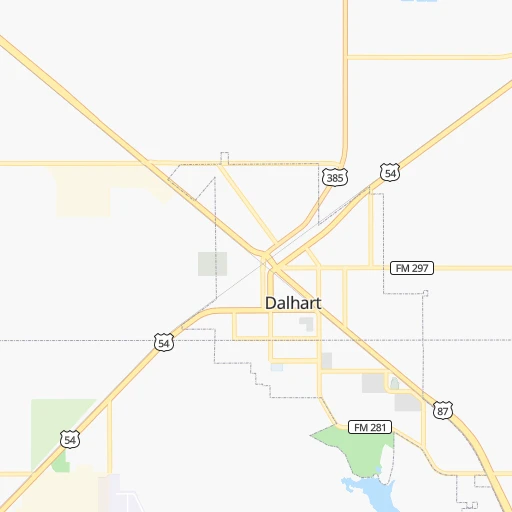
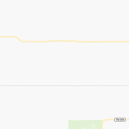
Roadmap (route) to go from Dalhart to Borger detailed above, you can also see the course layout on the map.
While doing trip Dalhart - Borger by car, the calculated route ends at a distance , or more straight.
Distance and duration of the route between Dalhart and Borger
Calculation of distance and route from Borger to Dalhart :
109.5128.4 km1h24mn
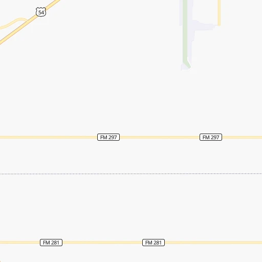
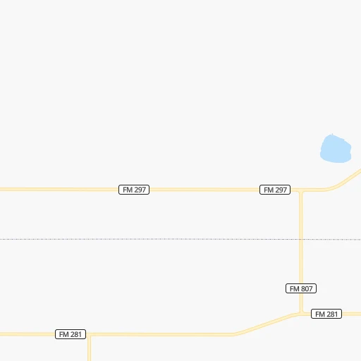
Continue onto Railroad Street 0h13mn 21.5 kmContinue onto 4th Street 0h30mn 39.7 kmContinue onto East 1st Street 1h39mn 64.7 kmAt roundabout, take exit 2 onto North Cedar Street 0h2mn 2.4 kmTurn sharp left 0h0mn 91 mArrive at destination 0h0mn 0 m
Travel from Dalhart (Texas) to a selection of major cities.
Distances from Dalhart to biggest cities in Texas
- Killeen,140,806 inhabitants.707 km
- McAllen,140,269 inhabitants.1,170 km
- Carrollton,133,168 inhabitants.621 km
- Midland,132,950 inhabitants.454 km
- Waco,132,356 inhabitants.706 km
- Denton,131,044 inhabitants.586 km
- Abilene,121,721 inhabitants.476 km
- Odessa,118,968 inhabitants.469 km
- Beaumont,118,129 inhabitants.1,028 km
- Round Rock,115,997 inhabitants.764 km
- Richardson,110,815 inhabitants.633 km
- Pearland,108,821 inhabitants.989 km
- College Station,107,889 inhabitants.834 km
- Wichita Falls,104,710 inhabitants.438 km
- Lewisville,104,039 inhabitants.607 km
- Tyler,103,700 inhabitants.781 km
- San Angelo,100,450 inhabitants.546 km
- Alief,98,725 inhabitants.957 km
- League City,98,312 inhabitants.1,006 km
- Allen,98,143 inhabitants.628 km
Other major cities in country :
- Memphis [TN], 655,770 inhabitants. 1,132 km
- New South Memphis [TN], 641,608 inhabitants. 1,132 km
- Portland [OR], 632,309 inhabitants. 1,991 km
- Oklahoma City [OK], 631,346 inhabitants. 456 km
- Las Vegas [NV], 623,747 inhabitants. 1,134 km
- Baltimore [MD], 621,849 inhabitants. 2,302 km
- Washington, D.C. [DC], 601,723 inhabitants. 2,265 km
- Milwaukee [WI], 600,155 inhabitants. 1,472 km
- South Boston [MA], 571,281 inhabitants. 2,785 km
- Albuquerque [NM], 559,121 inhabitants. 390 km
- Tucson [AZ], 531,641 inhabitants. 885 km
- Nashville [TN], 530,852 inhabitants. 1,413 km
- Fresno [CA], 520,052 inhabitants. 1,546 km
- Sacramento [CA], 490,712 inhabitants. 1,700 km
- Kansas City [MO], 475,378 inhabitants. 777 km
- Long Beach [CA], 474,140 inhabitants. 1,452 km
- Mesa [AZ], 471,825 inhabitants. 900 km
- Staten Island [NY], 468,730 inhabitants. 2,517 km
- Atlanta [GA], 463,878 inhabitants. 1,672 km
- Colorado Springs [CO], 456,568 inhabitants. 370 km
Route from Borger to major cities (United States).
- Distance Borger New York City2,451 km
- Distance Borger Los Angeles1,547 km
- Distance Borger Chicago1,375 km
- Distance Borger Brooklyn2,455 km
- Distance Borger Queens2,465 km
- Distance Borger Philadelphia2,347 km
- Distance Borger Phoenix1,009 km
- Distance Borger Manhattan2,455 km
- Distance Borger San Diego1,487 km
- Distance Borger The Bronx2,464 km
- Distance Borger San Jose1,840 km
- Distance Borger Jacksonville1,932 km
- Distance Borger San Francisco1,886 km
- Distance Borger Columbus1,684 km
- Distance Borger Indianapolis1,415 km
- Distance Borger Charlotte1,861 km
- Distance Borger Seattle2,179 km
- Distance Borger Denver552 km
- Distance Borger Detroit1,748 km
- Distance Borger Boston2,712 km
Nearest cities to Dalhart :
- Colorado Springs, 456,568 inhabitants. 370 km
- Lubbock, 249,042 inhabitants. 283 km
- Amarillo, 198,645 inhabitants. 112 km
- Pueblo, 109,412 inhabitants. 307 km
- Roswell, 48,544 inhabitants. 349 km
- Clovis, 39,480 inhabitants. 195 km
- Security-Widefield, 32,882 inhabitants. 357 km
- Pueblo West, 29,637 inhabitants. 322 km
- Dodge City, 27,912 inhabitants. 291 km
- Fountain, 27,767 inhabitants. 350 km
- Garden City, 27,005 inhabitants. 258 km
- Plainview, 20,919 inhabitants. 221 km
- Liberal, 20,746 inhabitants. 180 km
- Pampa, 18,177 inhabitants. 152 km
- Canon City, 16,400 inhabitants. 359 km
- Cimarron Hills, 16,161 inhabitants. 367 km
- Hereford, 15,021 inhabitants. 139 km
- Dumas, 15,001 inhabitants. 53 km
- Canyon, 14,887 inhabitants. 132 km
- Levelland, 13,914 inhabitants. 275 km
- Fort Carson, 13,813 inhabitants. 360 km
- Las Vegas, 13,386 inhabitants. 250 km
- Black Forest, 13,116 inhabitants. 381 km
- Borger, 12,964 inhabitants. 110 km
- Portales, 11,995 inhabitants. 222 km
- Guymon, 11,921 inhabitants. 116 km
- Brownfield, 9,736 inhabitants. 321 km
- Perryton, 9,252 inhabitants. 158 km
- Dalhart, 8,370 inhabitants. 0 km
- Trinidad, 8,153 inhabitants. 216 km
- Lamar, 7,555 inhabitants. 226 km
- Woodland Park, 7,222 inhabitants. 396 km
- La Junta, 6,951 inhabitants. 233 km
- Stratmoor, 6,900 inhabitants. 363 km
- Air Force Academy, 6,680 inhabitants. 387 km
- Gleneagle, 6,611 inhabitants. 390 km
- Raton, 6,187 inhabitants. 196 km
- Childress, 6,101 inhabitants. 278 km
- Ulysses, 6,097 inhabitants. 198 km
- Littlefield, 6,090 inhabitants. 239 km
- Slaton, 6,072 inhabitants. 303 km
- Post, 5,349 inhabitants. 336 km
- Manitou Springs, 5,334 inhabitants. 377 km
- Muleshoe, 5,185 inhabitants. 205 km
- Tucumcari, 5,025 inhabitants. 148 km
- Sayre, 4,773 inhabitants. 274 km
- Tulia, 4,760 inhabitants. 183 km
- Wolfforth, 4,249 inhabitants. 288 km
- Dimmitt, 4,195 inhabitants. 169 km
- Hugoton, 3,964 inhabitants. 162 km
Location Dalhart (Texas) :
| Country flag |  |
| Location | Dalhart |
| State | Texas |
| County | Dallam County |
| Country | United States |
| Country code / ISO 2 | US |
| Latitude | 36.0594800 |
| Longitude | -102.5132500 |
| Altitude | 1214 meters |
| Time zone | America/Chicago |
Location Borger (Texas) :
| Country flag | |
| Location | Borger |
| State | Texas |
| County | Hutchinson County |
| Country | United States |
| Country code / ISO 2 | US |
| Latitude | 35.6678200 |
| Longitude | -101.3973900 |
| Altitude | 938 meters |
| Time zone | America/Chicago |

