
How to get from Burner Farm (airport) (Texas) to Uvalde (Texas)
Calculate route from Burner Farm (airport) (Texas, United States) to Uvalde (Texas, United States).
The flight distance (as the crow flies) between Burner Farm (airport) and Uvalde is 264.6 km.
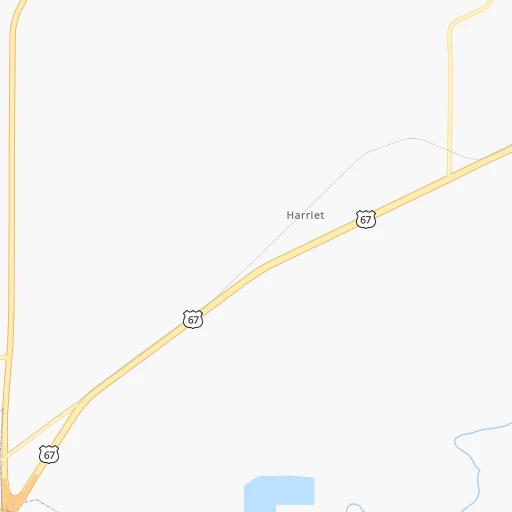
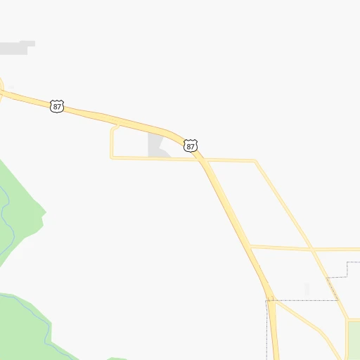
Roadmap (route) to go from Burner Farm Airport to Uvalde detailed above, you can also see the course layout on the map.
While doing trip Burner Farm (airport) - Uvalde by car, the calculated route ends at a distance , or more straight.
Distance and duration of the route between Burner Farm (airport) and Uvalde
Calculation of distance and route from Uvalde to Burner Farm (airport) :
264.6317.7 km4h4mn
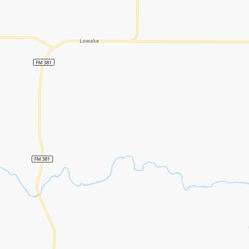
Continue 0h1mn 512 mTurn right onto Thompson Road 0h1mn 615 mKeep right 0h5mn 2.5 kmTurn left 0h1mn 608 mTurn left 0h8mn 3.8 kmKeep left 0h0mn 136 mTurn left 0h0mn 247 mTurn right 0h2mn 849 mContinue 0h5mn 1.3 kmTurn left onto FM 380 0h2mn 2.2 kmTurn right onto Farm to Market Road 2334 0h11mn 11.5 kmTurn left onto US Highway 87 South 0h27mn 46.9 kmTurn right onto South Main Street 1h49mn 82.0 kmTurn left onto US 83 and take I 10 East toward San Antonio 0h5mn 9.5 kmKeep right onto US 83 and take US 83 South toward Leakey 2h5mn 153.0 kmContinue onto North Getty Street 0h2mn 2.1 kmArrive at destination 0h0mn 0 m
Travel from Burner Farm (airport) (Texas) to a selection of major cities.
Distances from Burner Farm Airport to biggest cities in Texas
- Killeen,140,806 inhabitants.248 km
- McAllen,140,269 inhabitants.628 km
- Carrollton,133,168 inhabitants.356 km
- Midland,132,950 inhabitants.177 km
- Waco,132,356 inhabitants.298 km
- Denton,131,044 inhabitants.349 km
- Abilene,121,721 inhabitants.113 km
- Odessa,118,968 inhabitants.200 km
- Beaumont,118,129 inhabitants.613 km
- Round Rock,115,997 inhabitants.274 km
- Richardson,110,815 inhabitants.369 km
- Pearland,108,821 inhabitants.528 km
- College Station,107,889 inhabitants.390 km
- Wichita Falls,104,710 inhabitants.312 km
- Lewisville,104,039 inhabitants.351 km
- Tyler,103,700 inhabitants.479 km
- San Angelo,100,450 inhabitants.18 km
- Alief,98,725 inhabitants.494 km
- League City,98,312 inhabitants.547 km
- Allen,98,143 inhabitants.381 km
Other major cities in country :
- Memphis [TN], 655,770 inhabitants. 1,032 km
- New South Memphis [TN], 641,608 inhabitants. 1,029 km
- Portland [OR], 632,309 inhabitants. 2,479 km
- Oklahoma City [OK], 631,346 inhabitants. 506 km
- Las Vegas [NV], 623,747 inhabitants. 1,464 km
- Baltimore [MD], 621,849 inhabitants. 2,305 km
- Washington, D.C. [DC], 601,723 inhabitants. 2,259 km
- Milwaukee [WI], 600,155 inhabitants. 1,680 km
- South Boston [MA], 571,281 inhabitants. 2,846 km
- Albuquerque [NM], 559,121 inhabitants. 711 km
- Tucson [AZ], 531,641 inhabitants. 1,008 km
- Nashville [TN], 530,852 inhabitants. 1,348 km
- Fresno [CA], 520,052 inhabitants. 1,882 km
- Sacramento [CA], 490,712 inhabitants. 2,079 km
- Kansas City [MO], 475,378 inhabitants. 987 km
- Long Beach [CA], 474,140 inhabitants. 1,694 km
- Mesa [AZ], 471,825 inhabitants. 1,103 km
- Staten Island [NY], 468,730 inhabitants. 2,545 km
- Atlanta [GA], 463,878 inhabitants. 1,508 km
- Colorado Springs [CO], 456,568 inhabitants. 909 km
Route from Uvalde to major cities (United States).
- Distance Uvalde New York City2,664 km
- Distance Uvalde Los Angeles1,828 km
- Distance Uvalde Chicago1,782 km
- Distance Uvalde Brooklyn2,666 km
- Distance Uvalde Queens2,676 km
- Distance Uvalde Philadelphia2,542 km
- Distance Uvalde Phoenix1,259 km
- Distance Uvalde Manhattan2,669 km
- Distance Uvalde San Diego1,702 km
- Distance Uvalde The Bronx2,680 km
- Distance Uvalde San Jose2,241 km
- Distance Uvalde Jacksonville1,754 km
- Distance Uvalde San Francisco2,299 km
- Distance Uvalde Columbus1,943 km
- Distance Uvalde Indianapolis1,712 km
- Distance Uvalde Charlotte1,902 km
- Distance Uvalde Seattle2,819 km
- Distance Uvalde Denver1,265 km
- Distance Uvalde Detroit2,095 km
- Distance Uvalde Boston2,958 km
Nearest cities to Burner Farm (airport) :
- San Antonio, 1,469,845 inhabitants. 293 km
- Austin, 931,830 inhabitants. 282 km
- Fort Worth, 833,319 inhabitants. 308 km
- Lubbock, 249,042 inhabitants. 269 km
- Killeen, 140,806 inhabitants. 248 km
- Midland, 132,950 inhabitants. 177 km
- Abilene, 121,721 inhabitants. 113 km
- Odessa, 118,968 inhabitants. 200 km
- Round Rock, 115,997 inhabitants. 274 km
- Wichita Falls, 104,710 inhabitants. 312 km
- San Angelo, 100,450 inhabitants. 18 km
- Temple, 72,277 inhabitants. 284 km
- New Braunfels, 70,543 inhabitants. 292 km
- Cedar Park, 65,945 inhabitants. 262 km
- Georgetown, 63,716 inhabitants. 269 km
- San Marcos, 60,684 inhabitants. 291 km
- Pflugerville, 57,122 inhabitants. 283 km
- Burleson, 43,625 inhabitants. 301 km
- Clovis, 39,480 inhabitants. 419 km
- Hobbs, 38,416 inhabitants. 298 km
- Schertz, 37,938 inhabitants. 295 km
- Leander, 37,889 inhabitants. 256 km
- Del Rio, 36,153 inhabitants. 251 km
- Kyle, 35,733 inhabitants. 289 km
- Copperas Cove, 33,081 inhabitants. 231 km
- Cleburne, 30,020 inhabitants. 288 km
- Fort Hood, 29,589 inhabitants. 243 km
- Harker Heights, 29,142 inhabitants. 255 km
- Big Spring, 28,862 inhabitants. 137 km
- Eagle Pass, 28,765 inhabitants. 317 km
- Weatherford, 28,742 inhabitants. 270 km
- Seguin, 27,864 inhabitants. 313 km
- Cibolo, 26,637 inhabitants. 297 km
- Duncan, 23,231 inhabitants. 394 km
- Kerrville, 23,136 inhabitants. 200 km
- Hutto, 22,722 inhabitants. 284 km
- West Odessa, 22,707 inhabitants. 212 km
- Benbrook, 22,629 inhabitants. 294 km
- Saginaw, 22,079 inhabitants. 311 km
- Converse, 21,987 inhabitants. 295 km
- Brushy Creek, 21,764 inhabitants. 269 km
- Canyon Lake, 21,262 inhabitants. 269 km
- Plainview, 20,919 inhabitants. 322 km
- Belton, 20,547 inhabitants. 274 km
- Stephenville, 20,120 inhabitants. 210 km
- Universal City, 19,986 inhabitants. 294 km
- Brownwood, 19,031 inhabitants. 124 km
- White Settlement, 17,077 inhabitants. 298 km
- Taylor, 16,702 inhabitants. 295 km
- Uvalde, 16,476 inhabitants. 265 km
Location Burner Farm (airport) (Texas) :
| Country flag |  |
| Location | Burner Farm (airport) |
| State | Texas |
| County | Tom Green County |
| Country | United States |
| Country code / ISO 2 | US |
| Latitude | 31.5521000 |
| Longitude | -100.2839800 |
| Altitude | 548 meters |
| Time zone | America/Chicago |
Location Uvalde (Texas) :
| Country flag | |
| Location | Uvalde |
| State | Texas |
| County | Uvalde County |
| Country | United States |
| Country code / ISO 2 | US |
| Latitude | 29.2096800 |
| Longitude | -99.7861700 |
| Altitude | 277 meters |
| Time zone | America/Chicago |