
How to get from Brownfield (Texas) to Slaton (Texas)
Calculate route from Brownfield (Texas, United States) to Slaton (Texas, United States).
The flight distance (as the crow flies) between Brownfield and Slaton is 65.1 km.
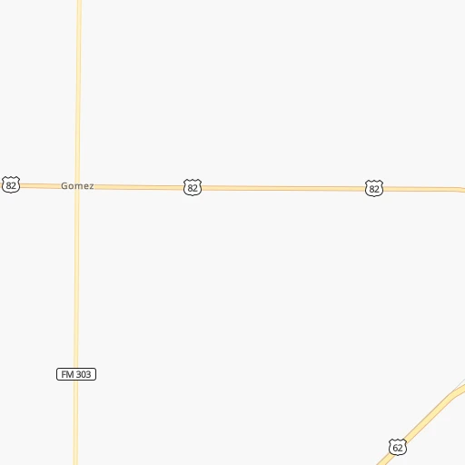
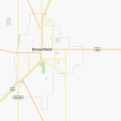
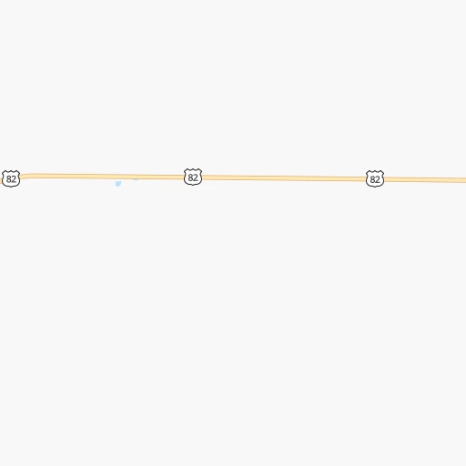
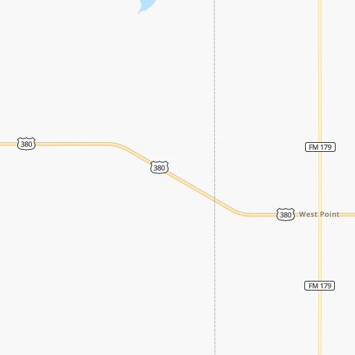
Roadmap (route) to go from Brownfield to Slaton detailed above, you can also see the course layout on the map.
While doing trip Brownfield - Slaton by car, the calculated route ends at a distance , or more straight.
Distance and duration of the route between Brownfield and Slaton
Calculation of distance and route from Slaton to Brownfield :
65.180.7 km1h58mn
Continue onto Lubbock Road 0h28mn 39.3 kmTurn right onto FM 1585 0h16mn 19.0 kmTurn left onto Avenue U 0h0mn 68 mTurn right onto 130th Street 0h9mn 14.9 kmTurn right onto East Highway 84 0h2mn 3.5 kmKeep left and take US 84 Business, FM 400 toward Slaton 0h0mn 480 mKeep left 0h3mn 3.1 kmTurn left onto West Garza Street 0h0mn 120 mTurn right onto South 8th Street 0h0mn 119 mTurn right onto West Lubbock Street 0h0mn 68 mTurn right 0h0mn 43 mArrive at destination 0h0mn 0 m
Travel from Brownfield (Texas) to a selection of major cities.
Distances from Brownfield to biggest cities in Texas
- Killeen,140,806 inhabitants.486 km
- McAllen,140,269 inhabitants.869 km
- Carrollton,133,168 inhabitants.503 km
- Midland,132,950 inhabitants.133 km
- Waco,132,356 inhabitants.515 km
- Denton,131,044 inhabitants.479 km
- Abilene,121,721 inhabitants.251 km
- Odessa,118,968 inhabitants.149 km
- Beaumont,118,129 inhabitants.847 km
- Round Rock,115,997 inhabitants.527 km
- Richardson,110,815 inhabitants.518 km
- Pearland,108,821 inhabitants.776 km
- College Station,107,889 inhabitants.629 km
- Wichita Falls,104,710 inhabitants.360 km
- Lewisville,104,039 inhabitants.493 km
- Tyler,103,700 inhabitants.659 km
- San Angelo,100,450 inhabitants.258 km
- Alief,98,725 inhabitants.742 km
- League City,98,312 inhabitants.795 km
- Allen,98,143 inhabitants.522 km
Other major cities in country :
- Memphis [TN], 655,770 inhabitants. 1,146 km
- New South Memphis [TN], 641,608 inhabitants. 1,145 km
- Portland [OR], 632,309 inhabitants. 2,219 km
- Oklahoma City [OK], 631,346 inhabitants. 506 km
- Las Vegas [NV], 623,747 inhabitants. 1,223 km
- Baltimore [MD], 621,849 inhabitants. 2,393 km
- Washington, D.C. [DC], 601,723 inhabitants. 2,351 km
- Milwaukee [WI], 600,155 inhabitants. 1,665 km
- South Boston [MA], 571,281 inhabitants. 2,911 km
- Albuquerque [NM], 559,121 inhabitants. 455 km
- Tucson [AZ], 531,641 inhabitants. 817 km
- Nashville [TN], 530,852 inhabitants. 1,455 km
- Fresno [CA], 520,052 inhabitants. 1,642 km
- Sacramento [CA], 490,712 inhabitants. 1,831 km
- Kansas City [MO], 475,378 inhabitants. 955 km
- Long Beach [CA], 474,140 inhabitants. 1,478 km
- Mesa [AZ], 471,825 inhabitants. 888 km
- Staten Island [NY], 468,730 inhabitants. 2,624 km
- Atlanta [GA], 463,878 inhabitants. 1,660 km
- Colorado Springs [CO], 456,568 inhabitants. 670 km
Route from Slaton to major cities (United States).
- Distance Slaton New York City2,572 km
- Distance Slaton Los Angeles1,536 km
- Distance Slaton Chicago1,545 km
- Distance Slaton Brooklyn2,576 km
- Distance Slaton Queens2,586 km
- Distance Slaton Philadelphia2,462 km
- Distance Slaton Phoenix968 km
- Distance Slaton Manhattan2,577 km
- Distance Slaton San Diego1,449 km
- Distance Slaton The Bronx2,586 km
- Distance Slaton San Jose1,884 km
- Distance Slaton Jacksonville1,918 km
- Distance Slaton San Francisco1,937 km
- Distance Slaton Columbus1,811 km
- Distance Slaton Indianapolis1,550 km
- Distance Slaton Charlotte1,919 km
- Distance Slaton Seattle2,343 km
- Distance Slaton Denver762 km
- Distance Slaton Detroit1,904 km
- Distance Slaton Boston2,846 km
Nearest cities to Brownfield :
- Lubbock, 249,042 inhabitants. 59 km
- Amarillo, 198,645 inhabitants. 231 km
- Midland, 132,950 inhabitants. 133 km
- Abilene, 121,721 inhabitants. 251 km
- Odessa, 118,968 inhabitants. 149 km
- San Angelo, 100,450 inhabitants. 258 km
- Roswell, 48,544 inhabitants. 211 km
- Clovis, 39,480 inhabitants. 161 km
- Hobbs, 38,416 inhabitants. 97 km
- Carlsbad, 28,957 inhabitants. 202 km
- Big Spring, 28,862 inhabitants. 128 km
- West Odessa, 22,707 inhabitants. 151 km
- Plainview, 20,919 inhabitants. 123 km
- Altus, 19,214 inhabitants. 316 km
- Pampa, 18,177 inhabitants. 289 km
- Hereford, 15,021 inhabitants. 182 km
- Dumas, 15,001 inhabitants. 300 km
- Canyon, 14,887 inhabitants. 203 km
- Levelland, 13,914 inhabitants. 46 km
- Andrews, 13,816 inhabitants. 99 km
- Las Vegas, 13,386 inhabitants. 381 km
- Borger, 12,964 inhabitants. 288 km
- Elk City, 12,717 inhabitants. 362 km
- Artesia, 12,036 inhabitants. 202 km
- Portales, 11,995 inhabitants. 149 km
- Lovington, 11,800 inhabitants. 104 km
- Snyder, 11,768 inhabitants. 137 km
- Sweetwater, 10,809 inhabitants. 192 km
- Brownfield, 9,736 inhabitants. 0 km
- Pecos, 9,517 inhabitants. 227 km
- Lamesa, 9,427 inhabitants. 58 km
- Fort Stockton, 8,649 inhabitants. 261 km
- Dalhart, 8,370 inhabitants. 321 km
- Monahans, 7,690 inhabitants. 186 km
- Seminole, 7,448 inhabitants. 62 km
- Kermit, 6,434 inhabitants. 166 km
- Childress, 6,101 inhabitants. 236 km
- Littlefield, 6,090 inhabitants. 82 km
- Slaton, 6,072 inhabitants. 65 km
- Alpine, 5,952 inhabitants. 341 km
- Brady, 5,549 inhabitants. 359 km
- Post, 5,349 inhabitants. 83 km
- Muleshoe, 5,185 inhabitants. 124 km
- Tucumcari, 5,025 inhabitants. 259 km
- Denver City, 4,864 inhabitants. 57 km
- Sayre, 4,773 inhabitants. 338 km
- Tulia, 4,760 inhabitants. 158 km
- Coleman, 4,393 inhabitants. 307 km
- Wolfforth, 4,249 inhabitants. 44 km
- Dimmitt, 4,195 inhabitants. 153 km
Location Brownfield (Texas) :
| Country flag |  |
| Location | Brownfield |
| State | Texas |
| County | Terry County |
| Country | United States |
| Country code / ISO 2 | US |
| Latitude | 33.1812000 |
| Longitude | -102.2743500 |
| Altitude | 1009 meters |
| Time zone | America/Chicago |
Location Slaton (Texas) :
| Country flag | |
| Location | Slaton |
| State | Texas |
| County | Lubbock County |
| Country | United States |
| Country code / ISO 2 | US |
| Latitude | 33.4373100 |
| Longitude | -101.6434900 |
| Altitude | 940 meters |
| Time zone | America/Chicago |