

How to get from Big Lake (Texas) to Fort Stockton (Texas)
Calculate route from Big Lake (Texas, United States) to Fort Stockton (Texas, United States).
The flight distance (as the crow flies) between Big Lake and Fort Stockton is 139.1 km.
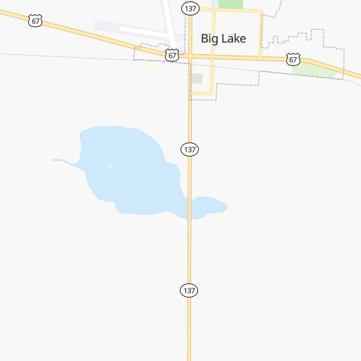
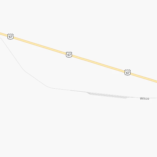
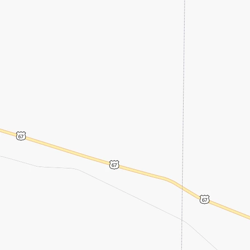
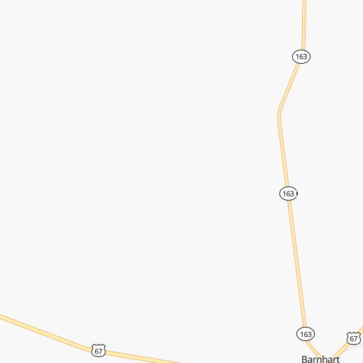
Roadmap (route) to go from Big Lake to Fort Stockton detailed above, you can also see the course layout on the map.
While doing trip Big Lake - Fort Stockton by car, the calculated route ends at a distance , or more straight.
Distance and duration of the route between Big Lake and Fort Stockton
Calculation of distance and route from Fort Stockton to Big Lake :
139.1149.6 km2h2mn
Continue onto East 2nd Street 2h59mn 145.9 kmKeep right onto US 385 and take I 10 Business Loop West, US 385 South toward Fort Stockton, Marathon 0h1mn 652 mTurn left onto East US Highway 290 0h3mn 3.0 kmTurn right onto North Main Street 0h0mn 75 mTurn left onto West 10th Street 0h0mn 17 mArrive at destination 0h0mn 0 m
Travel from Big Lake (Texas) to a selection of major cities.
Distances from Big Lake to biggest cities in Texas
- Killeen,140,806 inhabitants.356 km
- McAllen,140,269 inhabitants.639 km
- Carrollton,133,168 inhabitants.474 km
- Midland,132,950 inhabitants.107 km
- Waco,132,356 inhabitants.412 km
- Denton,131,044 inhabitants.466 km
- Abilene,121,721 inhabitants.215 km
- Odessa,118,968 inhabitants.113 km
- Beaumont,118,129 inhabitants.715 km
- Round Rock,115,997 inhabitants.369 km
- Richardson,110,815 inhabitants.487 km
- Pearland,108,821 inhabitants.620 km
- College Station,107,889 inhabitants.494 km
- Wichita Falls,104,710 inhabitants.411 km
- Lewisville,104,039 inhabitants.469 km
- Tyler,103,700 inhabitants.597 km
- San Angelo,100,450 inhabitants.102 km
- Alief,98,725 inhabitants.586 km
- League City,98,312 inhabitants.639 km
- Allen,98,143 inhabitants.499 km
Other major cities in country :
- Memphis [TN], 655,770 inhabitants. 1,150 km
- New South Memphis [TN], 641,608 inhabitants. 1,147 km
- Portland [OR], 632,309 inhabitants. 2,431 km
- Oklahoma City [OK], 631,346 inhabitants. 601 km
- Las Vegas [NV], 623,747 inhabitants. 1,381 km
- Baltimore [MD], 621,849 inhabitants. 2,422 km
- Washington, D.C. [DC], 601,723 inhabitants. 2,376 km
- Milwaukee [WI], 600,155 inhabitants. 1,781 km
- South Boston [MA], 571,281 inhabitants. 2,961 km
- Albuquerque [NM], 559,121 inhabitants. 649 km
- Tucson [AZ], 531,641 inhabitants. 903 km
- Nashville [TN], 530,852 inhabitants. 1,466 km
- Fresno [CA], 520,052 inhabitants. 1,797 km
- Sacramento [CA], 490,712 inhabitants. 2,000 km
- Kansas City [MO], 475,378 inhabitants. 1,080 km
- Long Beach [CA], 474,140 inhabitants. 1,595 km
- Mesa [AZ], 471,825 inhabitants. 1,006 km
- Staten Island [NY], 468,730 inhabitants. 2,662 km
- Atlanta [GA], 463,878 inhabitants. 1,626 km
- Colorado Springs [CO], 456,568 inhabitants. 904 km
Route from Fort Stockton to major cities (United States).
- Distance Fort Stockton New York City2,810 km
- Distance Fort Stockton Los Angeles1,484 km
- Distance Fort Stockton Chicago1,825 km
- Distance Fort Stockton Brooklyn2,813 km
- Distance Fort Stockton Queens2,823 km
- Distance Fort Stockton Philadelphia2,695 km
- Distance Fort Stockton Phoenix911 km
- Distance Fort Stockton Manhattan2,815 km
- Distance Fort Stockton San Diego1,366 km
- Distance Fort Stockton The Bronx2,825 km
- Distance Fort Stockton San Jose1,889 km
- Distance Fort Stockton Jacksonville2,031 km
- Distance Fort Stockton San Francisco1,948 km
- Distance Fort Stockton Columbus2,060 km
- Distance Fort Stockton Indianapolis1,807 km
- Distance Fort Stockton Charlotte2,107 km
- Distance Fort Stockton Seattle2,490 km
- Distance Fort Stockton Denver1,003 km
- Distance Fort Stockton Detroit2,173 km
- Distance Fort Stockton Boston3,092 km
Nearest cities to Big Lake :
- San Antonio, 1,469,845 inhabitants. 346 km
- Lubbock, 249,042 inhabitants. 268 km
- Midland, 132,950 inhabitants. 107 km
- Abilene, 121,721 inhabitants. 215 km
- Odessa, 118,968 inhabitants. 113 km
- Wichita Falls, 104,710 inhabitants. 411 km
- San Angelo, 100,450 inhabitants. 102 km
- Hobbs, 38,416 inhabitants. 231 km
- Del Rio, 36,153 inhabitants. 211 km
- Carlsbad, 28,957 inhabitants. 295 km
- Big Spring, 28,862 inhabitants. 118 km
- Eagle Pass, 28,765 inhabitants. 291 km
- Kerrville, 23,136 inhabitants. 256 km
- West Odessa, 22,707 inhabitants. 122 km
- Plainview, 20,919 inhabitants. 334 km
- Brownwood, 19,031 inhabitants. 241 km
- Uvalde, 16,476 inhabitants. 273 km
- Levelland, 13,914 inhabitants. 280 km
- Andrews, 13,816 inhabitants. 162 km
- Boerne, 13,674 inhabitants. 304 km
- Timberwood Park, 13,447 inhabitants. 331 km
- Artesia, 12,036 inhabitants. 333 km
- Portales, 11,995 inhabitants. 377 km
- Lovington, 11,800 inhabitants. 264 km
- Snyder, 11,768 inhabitants. 177 km
- Leon Valley, 11,174 inhabitants. 332 km
- Fredericksburg, 11,094 inhabitants. 268 km
- Burkburnett, 11,043 inhabitants. 422 km
- Sweetwater, 10,809 inhabitants. 174 km
- Vernon, 10,573 inhabitants. 389 km
- Pearsall, 9,980 inhabitants. 343 km
- Lackland Air Force Base, 9,918 inhabitants. 339 km
- Pleasanton, 9,829 inhabitants. 379 km
- Brownfield, 9,736 inhabitants. 234 km
- Pecos, 9,517 inhabitants. 195 km
- Lamesa, 9,427 inhabitants. 178 km
- Hondo, 9,119 inhabitants. 303 km
- Eidson Road, 8,960 inhabitants. 295 km
- Graham, 8,865 inhabitants. 344 km
- Fort Stockton, 8,649 inhabitants. 139 km
- Helotes, 8,591 inhabitants. 321 km
- Alamo Heights, 8,038 inhabitants. 345 km
- Cleveland, 7,936 inhabitants. 216 km
- Monahans, 7,690 inhabitants. 143 km
- Crystal City, 7,496 inhabitants. 321 km
- Seminole, 7,448 inhabitants. 204 km
- Fair Oaks Ranch, 7,407 inhabitants. 315 km
- Kermit, 6,434 inhabitants. 172 km
- Iowa Park, 6,344 inhabitants. 404 km
- Littlefield, 6,090 inhabitants. 314 km
Location Big Lake (Texas) :
| Country flag |  |
| Location | Big Lake |
| State | Texas |
| County | Reagan County |
| Country | United States |
| Country code / ISO 2 | US |
| Latitude | 31.1915400 |
| Longitude | -101.4603900 |
| Altitude | 820 meters |
| Time zone | America/Chicago |
Location Fort Stockton (Texas) :
| Country flag | |
| Location | Fort Stockton |
| State | Texas |
| County | Pecos County |
| Country | United States |
| Country code / ISO 2 | US |
| Latitude | 30.8940400 |
| Longitude | -102.8793200 |
| Altitude | 906 meters |
| Time zone | America/Chicago |


